Cuckoocliff Wood

Wood, Forest in Staffordshire Staffordshire Moorlands

England

Cuckoocliff Wood

Trees in the last of the light
Trees in the last of the light Credit: Peter Allen

Cuckoocliff Wood is a picturesque woodland located in the county of Staffordshire, England. Situated near the village of Codsall, it is a popular destination for nature enthusiasts and hikers alike. The wood covers an area of approximately 50 hectares and is part of the wider Cannock Chase Area of Outstanding Natural Beauty.

The wood is characterized by its diverse range of tree species, including oak, birch, beech, and pine. These towering trees provide a dense canopy, creating a tranquil and shaded environment beneath. The woodland floor is often covered with a carpet of bluebells in the spring, adding a splash of vibrant color to the landscape.

Numerous walking trails meander through Cuckoocliff Wood, offering visitors the opportunity to explore its natural beauty. The paths wind through ancient woodland, revealing hidden glades and babbling streams along the way. Wildlife is abundant in the area, with sightings of deer, foxes, and a variety of bird species being common.

Cuckoocliff Wood is also home to a rich cultural history. The remains of an Iron Age hillfort can be found within its boundaries, providing an insight into the area's past. Its elevated position offers stunning views across the surrounding countryside, making it a perfect spot for picnics and photography.

Overall, Cuckoocliff Wood is a captivating destination that showcases the beauty of Staffordshire's natural landscape. Its combination of scenic trails, diverse flora and fauna, and historical significance make it a must-visit location for anyone seeking to immerse themselves in nature's wonders.

If you have any feedback on the listing, please let us know in the comments section below.

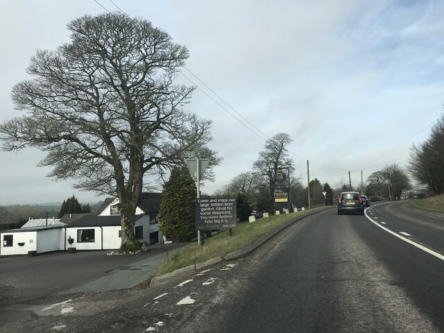
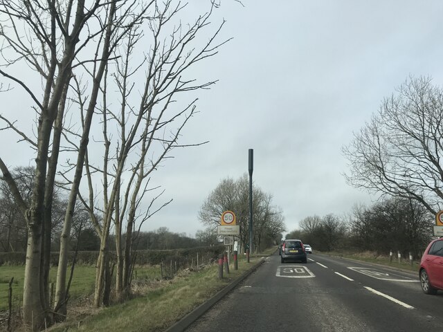
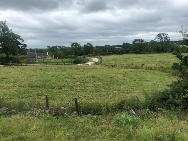
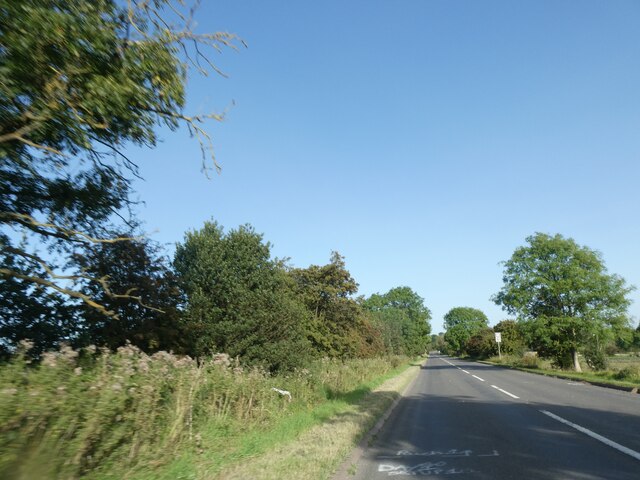
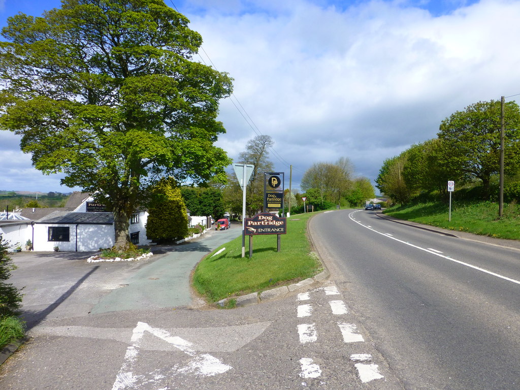
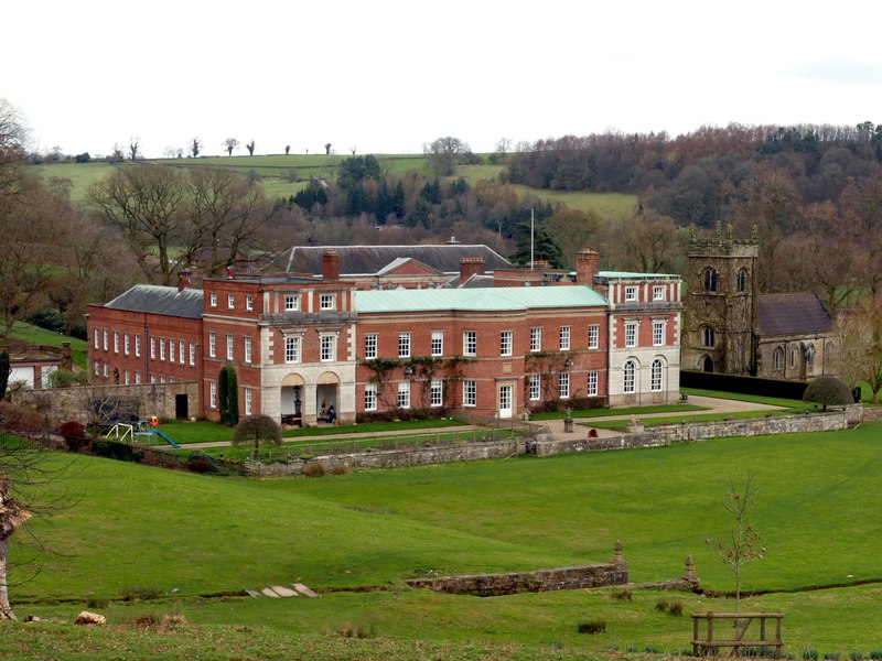
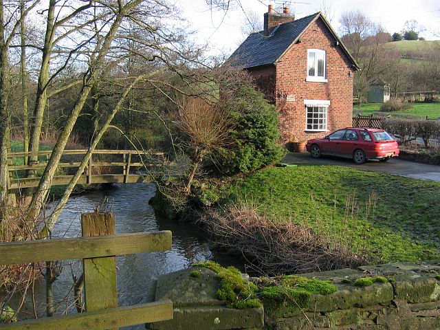
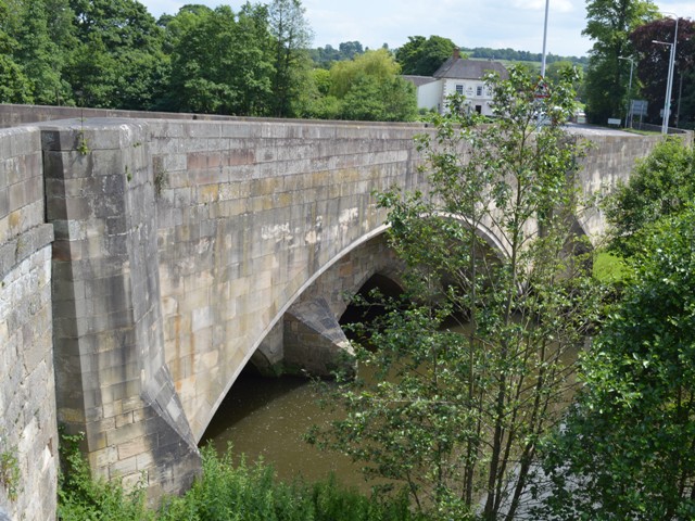
Cuckoocliff Wood Images

Images are sourced within 2km of 53.022581/-1.8039314 or Grid Reference SK1347. Thanks to Geograph Open Source API. All images are credited.

Trees in the last of the light
Turning on A52
Turning on A52
Junction signage on A52
Speed Camera Warning Signage
Dog & Partridge - Swinscoe
Speed Limit change
Speed Limit change
Dog and Partridge Inn On the edge of the Peak District National Park
Dog and Partridge Inn
On the edge of the Peak District National Park
Drive to Little Moor Cottage
Lay-by on A52 near Cornpark The A52 is a major east-west road in the East Midlands. It runs east from a junction with the A53 at Newcastle-under-Lyme near Stoke-on-Trent (just east of the M6) to the Lincolnshire coast at Mablethorpe. Running for approximately 147 miles, its route passes via Ashbourne, Derby, Stapleford, Nottingham, West Bridgford, Bingham, Grantham, Boston and Skegness.
Lay-by on A52 near Cornpark
The A52 is a major east-west road in the East Midlands. It runs east from a junction with the A53 at Newcastle-under-Lyme near Stoke-on-Trent (just east of the M6) to the Lincolnshire coast at Mablethorpe. Running for approximately 147 miles, its route passes via Ashbourne, Derby, Stapleford, Nottingham, West Bridgford, Bingham, Grantham, Boston and Skegness.
The Dog and Partridge at Swinscoe
Drive to Littlemoor Cottage (a footpath)
Long straight length of A52, west of Swinscoe The A52 is a major east-west road in the East Midlands. It runs east from a junction with the A53 at Newcastle-under-Lyme near Stoke-on-Trent (just east of the M6) to the Lincolnshire coast at Mablethorpe. Running for approximately 147 miles, its route passes via Ashbourne, Derby, Stapleford, Nottingham, West Bridgford, Bingham, Grantham, Boston and Skegness.
Long straight length of A52, west of Swinscoe
The A52 is a major east-west road in the East Midlands. It runs east from a junction with the A53 at Newcastle-under-Lyme near Stoke-on-Trent (just east of the M6) to the Lincolnshire coast at Mablethorpe. Running for approximately 147 miles, its route passes via Ashbourne, Derby, Stapleford, Nottingham, West Bridgford, Bingham, Grantham, Boston and Skegness.
Bus shelter by A52, Swinscoe The A52 is a major east-west road in the East Midlands. It runs east from a junction with the A53 at Newcastle-under-Lyme near Stoke-on-Trent (just east of the M6) to the Lincolnshire coast at Mablethorpe. Running for approximately 147 miles, its route passes via Ashbourne, Derby, Stapleford, Nottingham, West Bridgford, Bingham, Grantham, Boston and Skegness.
Bus shelter by A52, Swinscoe
The A52 is a major east-west road in the East Midlands. It runs east from a junction with the A53 at Newcastle-under-Lyme near Stoke-on-Trent (just east of the M6) to the Lincolnshire coast at Mablethorpe. Running for approximately 147 miles, its route passes via Ashbourne, Derby, Stapleford, Nottingham, West Bridgford, Bingham, Grantham, Boston and Skegness.
Lay-by on A52 south-east of Swinscoe Shallow and unprotected
Lay-by on A52 south-east of Swinscoe
Shallow and unprotected
Stanton Chapel in Bankside, Stanton. The stone over the door is inscribed "Primitive Methodist Chapel erected at the sole expense of David Smith. AD 1824". Primitive Methodism started only 30 km away on <a href="https://www.geograph.org.uk/gridref/SJ8557">SJ8557</a> Mow Cop in 1807.
Stanton Chapel
in Bankside, Stanton. The stone over the door is inscribed "Primitive Methodist Chapel erected at the sole expense of David Smith. AD 1824". Primitive Methodism started only 30 km away on SJ8557 Mow Cop in 1807.
St Mary's Church Stanton, Staffordshire
St Mary's Church
Stanton, Staffordshire
Rhodes Cottage Sallyfield Lane, Stanton, Staffordshire. Note the topiary.
Rhodes Cottage
Sallyfield Lane, Stanton, Staffordshire. Note the topiary.
Three Oaks Farm off Sallyfield Lane, Stanton, Staffordshire
Three Oaks Farm
off Sallyfield Lane, Stanton, Staffordshire
Show me another place!

Cuckoocliff Wood is located at Grid Ref: SK1347 (Lat: 53.022581, Lng: -1.8039314)

Administrative County: Staffordshire

District: Staffordshire Moorlands

Police Authority: Staffordshire

What 3 Words

///september.bedspread.stews. Near Mayfield, Staffordshire

Related Wikis

Stanton, Staffordshire

Stanton is a small village situated at the eastern end of the Weaver Hills, Staffordshire, England. Stanton is located 146 miles (235.0 km) north-west...

Swinscoe

Swinscoe is a small hamlet within the Staffordshire Moorlands in Staffordshire, England. Administratively, the hamlet is part of the civil parish of Blore...

Blore

Blore (grid reference SK137493) is a small village and parish in the Staffordshire Moorlands District of England. It is on an acclivity above Dovedale...

Blore with Swinscoe

Blore with Swinscoe is a civil parish north-west of Ashbourne, in the Staffordshire Moorlands district of Staffordshire, England, on the edge of the Peak...

Thorswood

Thorswood is a nature reserve of the Staffordshire Wildlife Trust, situated in the Weaver Hills near the village of Stanton, in Staffordshire, England...

Okeover Hall

Okeover Hall is a privately owned Grade II* listed country house in Okeover, Staffordshire, England. It is the family seat of the Okeover family, who have...

Bentley Brook, Bradbourne

The Bentley Brook or Bradbourne Brook is a small tributary of the River Dove in Derbyshire, England, and is 14.5 kilometres (9 miles) long == Name == In...

Mayfield, Staffordshire

Mayfield is a village on the outskirts of Ashbourne in Derbyshire, about 9 miles from Uttoxeter, situated in East Staffordshire. The village is divided...

Nearby Amenities

Located within 500m of 53.022581,-1.8039314
Barrier: cattle_grid
Ele: 264.7
Lat/Long: 53.0252551/-1.799663
Ele: 246
Lat/Long: 53.0236725/-1.8004761
Ele: 233
Lat/Long: 53.0200046/-1.7985955
Barrier: kissing_gate
Lat/Long: 53.0266071/-1.805173
Barrier: stile
Steps: 1
Stile: stepover
Lat/Long: 53.02358/-1.8066127
Barrier: stile
Stile: squeezer
Lat/Long: 53.0227324/-1.8062957
Ford: yes
Lat/Long: 53.0227111/-1.8062956
Ford: yes
Lat/Long: 53.0220723/-1.802695
Barrier: stile
Steps: 2
Stile: stepover
Lat/Long: 53.0216858/-1.8063853
Barrier: stile
Steps: 2
Stile: stepover
Lat/Long: 53.0216106/-1.8063856
Barrier: stile
Steps: 2
Stile: stepover
Lat/Long: 53.0192304/-1.8041967
Barrier: stile
Steps: 1
Stile: stepover
Lat/Long: 53.0196298/-1.8036266
Barrier: stile
Lat/Long: 53.0194496/-1.7998442
Information: board
Tourism: information
Lat/Long: 53.0247995/-1.800534
The data included in this document is from www.openstreetmap.org. The data is made available under ODbL.

Have you been to Cuckoocliff Wood?

Leave your review of Cuckoocliff Wood below (or comments, questions and feedback).