Longedge Plantation

Wood, Forest in Durham

England

Longedge Plantation

Humber Hill The trig is perched on the edge of a small quarry.
Humber Hill Credit: Richard Webb

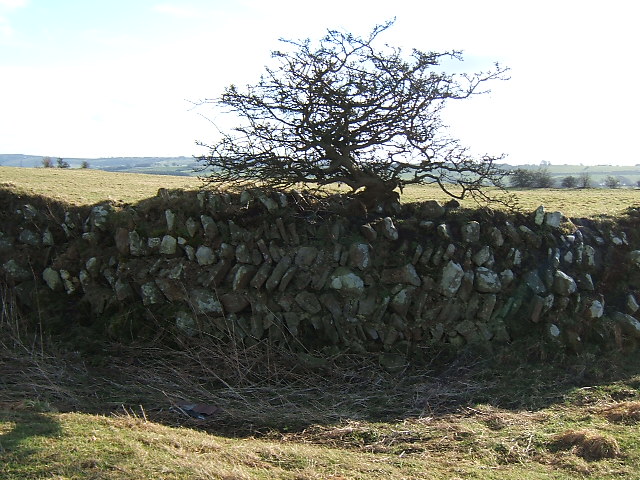
Longedge Plantation is a picturesque woodland area located in Durham, England. Situated within the larger Durham Wood and Forest, this plantation covers a vast expanse of approximately 500 acres. The plantation is known for its natural beauty, comprising a mix of ancient and newly planted trees, creating a diverse and thriving ecosystem.

The woodland is home to a wide variety of plant and animal species, making it a popular destination for nature enthusiasts and birdwatchers. Among the trees, visitors can find oak, beech, birch, and pine, providing a rich habitat for various bird species such as woodpeckers, owls, and songbirds.

Longedge Plantation offers a network of well-maintained walking trails, allowing visitors to explore the area and enjoy the tranquility of the forest. The paths wind through the trees, offering glimpses of small streams and ponds that dot the landscape. It is a favorite spot for walkers and joggers, providing a peaceful escape from the hustle and bustle of city life.

The plantation is also managed sustainably, with regular tree planting initiatives to ensure the future growth and preservation of the woodland. Educational programs and events are often held here to raise awareness about the importance of conservation and the role of forests in maintaining a healthy environment.

Overall, Longedge Plantation is a beautiful example of a thriving woodland ecosystem in Durham, offering visitors an opportunity to connect with nature and appreciate the diverse flora and fauna that call this area home.

If you have any feedback on the listing, please let us know in the comments section below.

Longedge Plantation Images

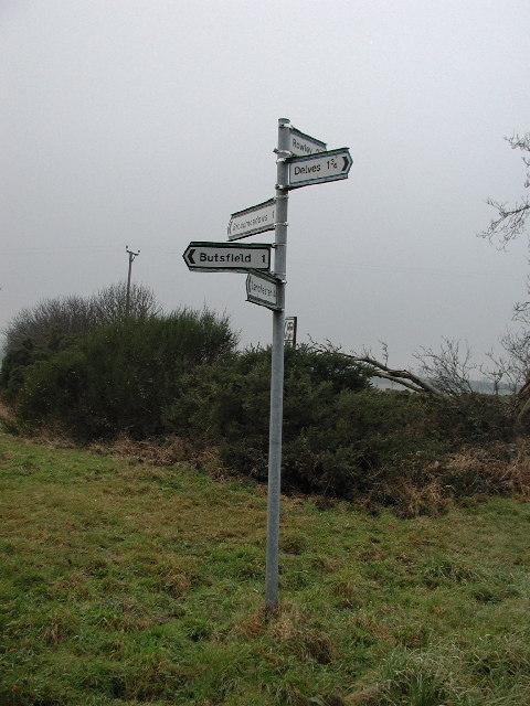
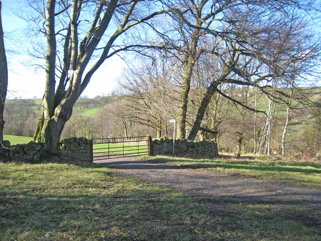
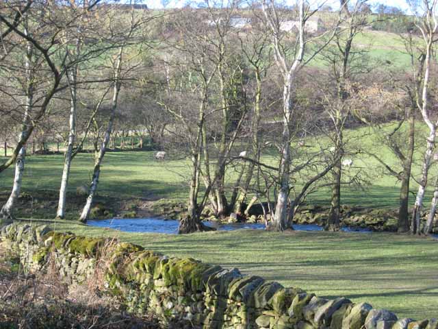
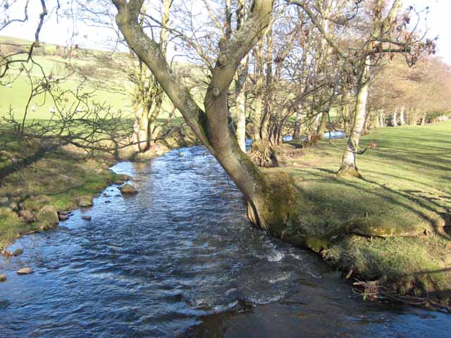
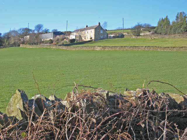
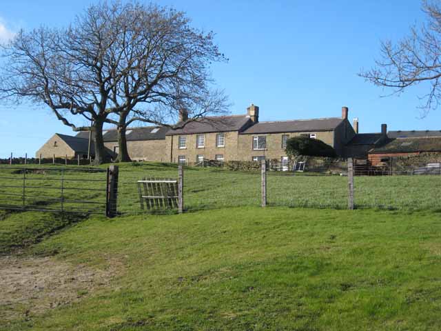
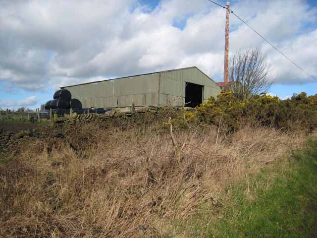
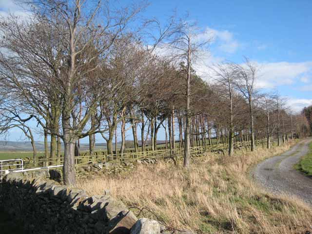
Images are sourced within 2km of 54.807382/-1.7955237 or Grid Reference NZ1345. Thanks to Geograph Open Source API. All images are credited.

Humber Hill The trig is perched on the edge of a small quarry.
Humber Hill
The trig is perched on the edge of a small quarry.
Humberhill Lane, Dunleyford House Crossroads
Signpost at meeting of country roads Sign for roads leading to Rowley, Delves, Broadmeadows, Butsfield, Lanchester
Signpost at meeting of country roads
Sign for roads leading to Rowley, Delves, Broadmeadows, Butsfield, Lanchester
Partridgeclose Mill Bridge over the River Browney Near Partridge Close.
Partridgeclose Mill Bridge over the River Browney
Near Partridge Close.
Valley of the River Browney Looking north from a point just east of Cornsay village
Valley of the River Browney
Looking north from a point just east of Cornsay village
The old drive to Woodlands Park. These stone posts mark the old driveway to a large country house but this route is now rarely used.
The old drive to Woodlands Park.
These stone posts mark the old driveway to a large country house but this route is now rarely used.
Colepike Hall boundary wall The stone pillars once had iron railings between them, doubtless removed and melted down for the war effort.
Colepike Hall boundary wall
The stone pillars once had iron railings between them, doubtless removed and melted down for the war effort.
Sheep at Dunleyford Crossroads. Not much winter grazing here!
Sheep at Dunleyford Crossroads.
Not much winter grazing here!
Pasture at  David's Town This field is remarkable for a Roman aqueduct which previously crossed it on the way to the fort at Lanchester. Better eyesight than mine is required to spot any remains on the ground. "David's Town" is actually behind the wall in the distance: a strange semi circular field enclosure.
Pasture at David's Town
This field is remarkable for a Roman aqueduct which previously crossed it on the way to the fort at Lanchester. Better eyesight than mine is required to spot any remains on the ground. "David's Town" is actually behind the wall in the distance: a strange semi circular field enclosure.
Beech trees in winter In the floor of the Browney valley.
Beech trees in winter
In the floor of the Browney valley.
The River Browney Sunny Brow Cottage <a href="https://www.geograph.org.uk/gridref/NZ1145">NZ1145</a> can be seen through the trees.
The River Browney
Sunny Brow Cottage NZ1145 can be seen through the trees.
The River Browney The tree-lined watercourse of the upper River Browney, near East Butsfield, looking downstream.
The River Browney
The tree-lined watercourse of the upper River Browney, near East Butsfield, looking downstream.
Sunny Brow Cottage Aptly named. On a steep south-facing bank overlooking the infant River Browney.
Sunny Brow Cottage
Aptly named. On a steep south-facing bank overlooking the infant River Browney.
East Butsfield
East Butsfield
Barn at Red Houses Farm On Knitsley Lane.
Barn at Red Houses Farm
On Knitsley Lane.
Driveway to Hall Hill Farm The trees mark the driveway to Hall Hill Farm, a visitor farm <span class="nowrap"><a title="http://www.hallhillfarm.co.uk" rel="nofollow ugc noopener" href="http://www.hallhillfarm.co.uk">Link</a><img style="margin-left:2px;" alt="External link" title="External link - shift click to open in new window" src="https://s1.geograph.org.uk/img/external.png" width="10" height="10"/></span>.
Driveway to Hall Hill Farm
The trees mark the driveway to Hall Hill Farm, a visitor farm LinkExternal link.
Broadwood Farm
Broadwood Farm
Cottages at Broadwood Farm
Show me another place!

Longedge Plantation is located at Grid Ref: NZ1345 (Lat: 54.807382, Lng: -1.7955237)

Unitary Authority: County Durham

Police Authority: Durham

What 3 Words

///uncle.interlude.same. Near Lanchester, Co. Durham

Related Wikis

Butsfield

Butsfield is a village in County Durham, England. It is situated a few miles to the south of Consett, near the village of Satley. Butsfield Burn Farm is...

Hall Hill Farm

Hall Hill Farm is a tourist attraction located in County Durham, near Tow Law, England. == History == Ann Darlington is the current tourism manager at...

Newbiggin, Lanchester

Newbiggin is a farm in the civil parish of Lanchester, in the County Durham district, in the ceremonial county of Durham, England. It is situated 2 kilometres...

Longovicium

Longovicium (or Lanchester Roman Fort) was an auxiliary fort located on Roman Dere Street, in the Roman province of Britannia Inferior. It is located just...

Nearby Amenities

Located within 500m of 54.807382,-1.7955237
The data included in this document is from www.openstreetmap.org. The data is made available under ODbL.

Have you been to Longedge Plantation?

Leave your review of Longedge Plantation below (or comments, questions and feedback).