Rivergreen Wood
Wood, Forest in Northumberland
England
Rivergreen Wood
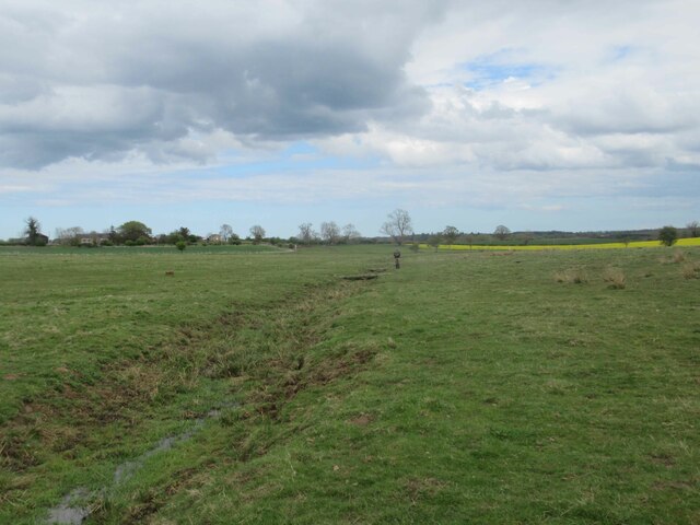
Rivergreen Wood is a captivating forest located in the county of Northumberland, England. This woodland oasis covers an area of approximately 200 hectares and is renowned for its stunning natural beauty and diverse range of flora and fauna.
The woodland is characterized by its lush green canopy, with towering oak, beech, and hazel trees dominating the landscape. These ancient trees create a dense and tranquil atmosphere, providing a haven for a variety of wildlife species. Visitors may be fortunate enough to spot red squirrels, roe deer, and numerous bird species such as woodpeckers and owls, making it a popular destination for nature enthusiasts and bird watchers.
Traversing through Rivergreen Wood, visitors can explore a network of well-maintained trails, offering the opportunity to immerse themselves in the peaceful ambiance and discover hidden gems within the forest. The trails vary in difficulty, catering to both leisurely strolls and more challenging hikes, ensuring there is something for everyone.
Moreover, the wood is intersected by the River Green, which adds to its charm and offers picturesque views. The river is home to a variety of aquatic species and provides a tranquil setting for picnics or simply enjoying the calming sounds of flowing water.
Rivergreen Wood is also deeply rooted in history, with evidence of human activity dating back to the Neolithic era. The wood has been used for centuries for timber production, and remnants of old sawpits and charcoal hearths can still be found scattered throughout the woodland.
Overall, Rivergreen Wood presents a captivating blend of natural beauty, abundant wildlife, and historical significance, making it a must-visit destination for those seeking a peaceful retreat in the heart of Northumberland.
If you have any feedback on the listing, please let us know in the comments section below.
Rivergreen Wood Images
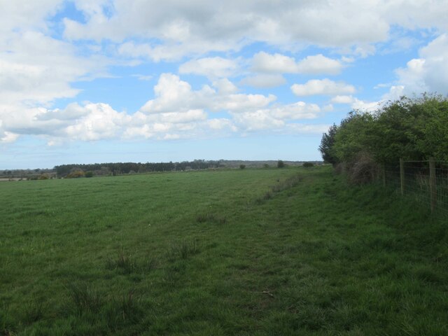
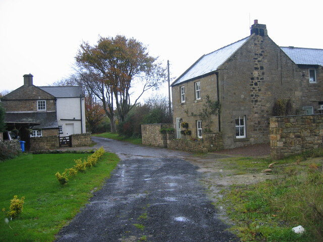
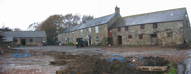
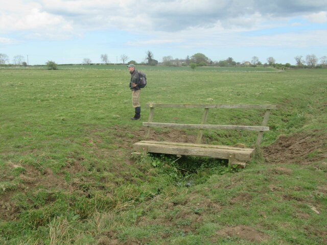
Images are sourced within 2km of 55.15563/-1.7937955 or Grid Reference NZ1384. Thanks to Geograph Open Source API. All images are credited.


Rivergreen Wood is located at Grid Ref: NZ1384 (Lat: 55.15563, Lng: -1.7937955)
Unitary Authority: Northumberland
Police Authority: Northumbria
What 3 Words
///possibly.remaining.tried. Near Meldon, Northumberland
Nearby Locations
Related Wikis

Meldon, Northumberland
Meldon is a village in Northumberland, England. It lies to the west of Morpeth. The population of Meldon as taken at the 2001 Census was 162, increasing...
Meldon railway station
Meldon railway station was a stone built railway station with goods sidings in Northumberland on the Wansbeck Railway between Morpeth and Reedsmouth to...

Hart Burn
Hart Burn is a river that flows through Northumberland, England. It is a tributary of the River Wansbeck, is 24 km long and has a catchment area of 45...

Meldon Park
Meldon Park is a privately owned country mansion situated at Meldon, Northumberland. It is a Grade II* listed building. == Present building == In 1832...
Nearby Amenities
Located within 500m of 55.15563,-1.7937955Have you been to Rivergreen Wood?
Leave your review of Rivergreen Wood below (or comments, questions and feedback).