Frances Plantation
Wood, Forest in Durham
England
Frances Plantation

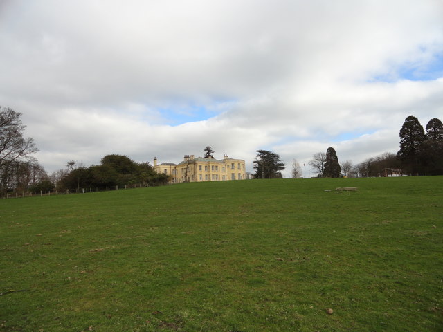
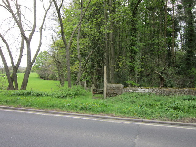
Frances Plantation, located in Durham, is a historic and picturesque woodland estate that spans across acres of lush forested land. Situated in the Wood and Forest region, it offers a serene and tranquil escape from the bustling city life.
The plantation dates back to the early 19th century and has a rich history that adds to its charm and allure. The estate is named after Frances, the daughter of its original owner, who played a significant role in its development. The architecture and design of the plantation reflect the style of the period in which it was built, with elegant Georgian and Victorian influences.
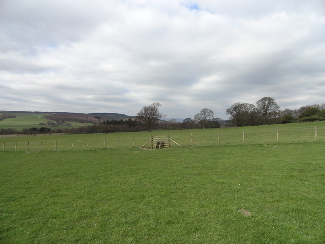
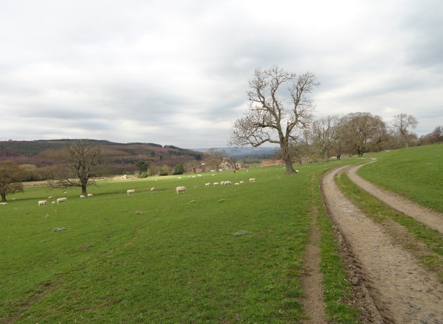
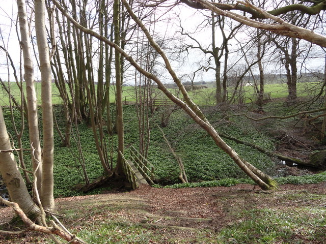
The woodland surrounding Frances Plantation is a haven for nature enthusiasts. The forest consists of a diverse range of trees, including oak, birch, and beech, creating a vibrant and enchanting landscape. Visitors can explore the numerous walking trails that meander through the woods, offering opportunities for peaceful strolls, birdwatching, and photography.
The estate also features a well-maintained garden that showcases a variety of beautiful flowers and shrubs. The manicured lawns provide a perfect setting for outdoor activities such as picnics and games.
Frances Plantation is not only a natural paradise but also a popular venue for events and weddings. Its idyllic setting and old-world charm make it a sought-after location for couples looking to tie the knot in a romantic and picturesque environment.
In summary, Frances Plantation in Durham offers a unique blend of history, natural beauty, and tranquility. It is a place where visitors can immerse themselves in the serenity of the forest, admire the timeless architecture, and experience the magic of a bygone era.
If you have any feedback on the listing, please let us know in the comments section below.
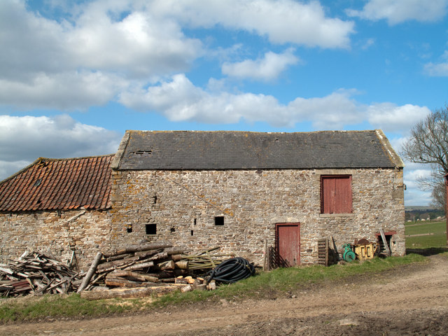
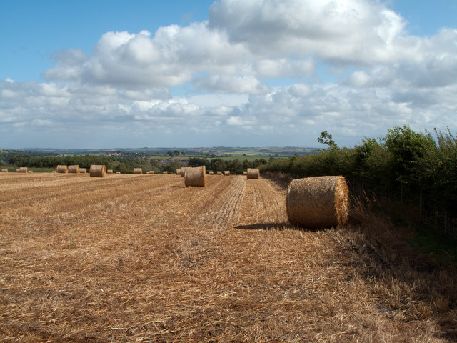
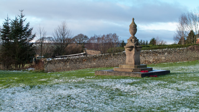
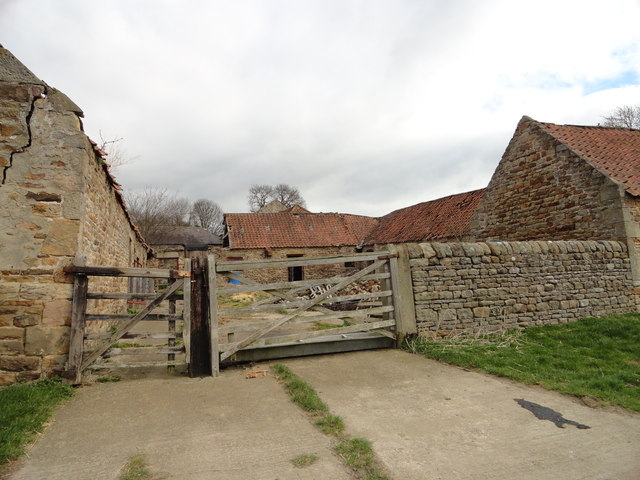
Frances Plantation Images
Images are sourced within 2km of 54.719638/-1.796322 or Grid Reference NZ1336. Thanks to Geograph Open Source API. All images are credited.


Frances Plantation is located at Grid Ref: NZ1336 (Lat: 54.719638, Lng: -1.796322)
Unitary Authority: County Durham
Police Authority: Durham
What 3 Words
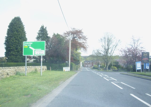
///punk.nerve.comforted. Near Tow Law, Co. Durham
Nearby Locations
Related Wikis
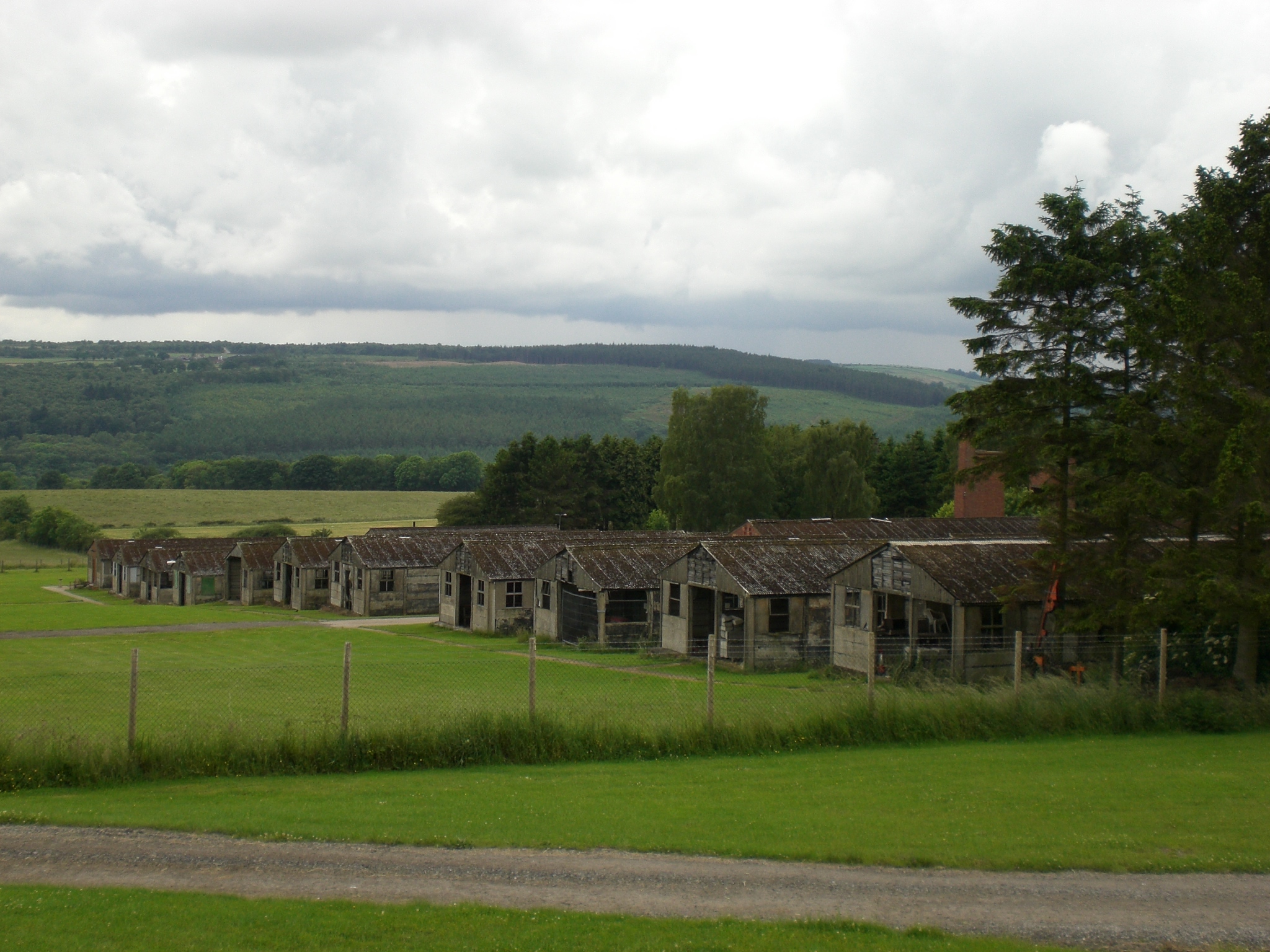
Harperley POW Camp 93
Harperley POW Camp 93 is a surviving purpose-built World War II Prisoner of War (PoW) camp built to accommodate up to 1,400 inmates at Fir Tree near Crook...

Craigside
Craigside is a small village in County Durham, England. It is situated close to the River Wear, west of Crook. == References ==
Thornley, Weardale
Thornley is a village in Weardale, County Durham, about 1 mile (1.6 km) south of Tow Law. In 2001 it had a population of 184. == References ==
Fir Tree, County Durham
Fir Tree is a village in County Durham, in England. It is west of Crook, near the River Wear. Fir Tree has a petrol station and two pubs: The Duke of York...
Nearby Amenities
Located within 500m of 54.719638,-1.796322Have you been to Frances Plantation?
Leave your review of Frances Plantation below (or comments, questions and feedback).