Holmroyd Wood

Wood, Forest in Yorkshire

England

Holmroyd Wood

Trig Point on Wolfstones Heights
Trig Point on Wolfstones Heights Credit: Colin Park

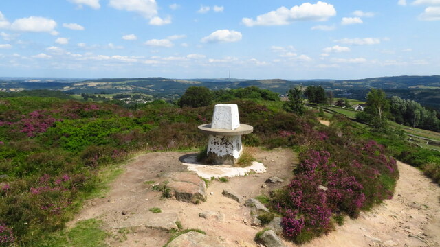
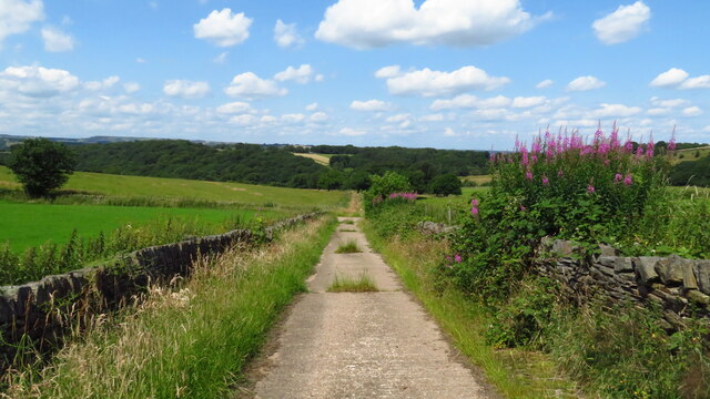
Holmroyd Wood is a captivating woodland located in the county of Yorkshire, England. This enchanting forest is situated near the village of Holmroyd, offering a peaceful escape from the hustle and bustle of urban life. With an area spanning approximately 100 acres, Holmroyd Wood is a haven for nature lovers and outdoor enthusiasts.

The woodland is characterized by a diverse range of tree species, including oak, beech, birch, and ash, which form a dense canopy overhead. The forest floor is carpeted with a rich tapestry of ferns, mosses, and wildflowers, creating a picturesque setting. Throughout the year, the woodland undergoes a vibrant transformation, with bluebells and primroses adorning the forest floor in spring, followed by a vibrant display of autumnal colors in the fall.

Holmroyd Wood is home to a variety of wildlife, making it a popular spot for birdwatching and wildlife observation. Visitors may have the chance to spot woodpeckers, owls, and various species of songbirds within the forest. The woodland also provides a habitat for mammals such as deer, foxes, and squirrels, adding to the biodiversity of the area.

A network of well-maintained footpaths and trails crisscrosses the wood, allowing visitors to explore its beauty at their own pace. Whether it's a leisurely stroll or a more adventurous hike, Holmroyd Wood offers something for everyone. The peaceful ambiance and natural beauty make it an ideal destination for relaxation, picnicking, or simply immersing oneself in nature.

Holmroyd Wood is a true gem of Yorkshire, offering a tranquil retreat where visitors can experience the wonders of the natural world.

If you have any feedback on the listing, please let us know in the comments section below.

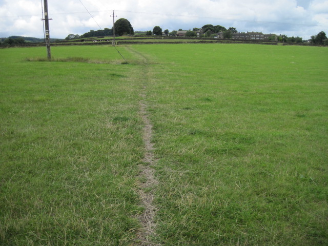
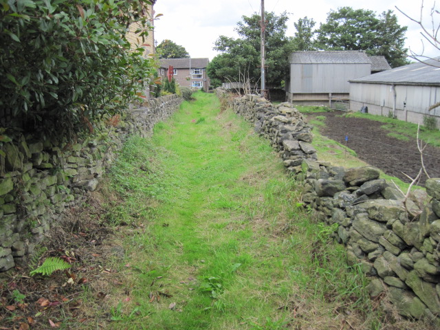
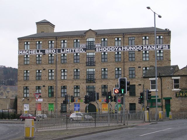
Holmroyd Wood Images

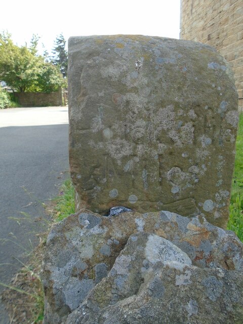
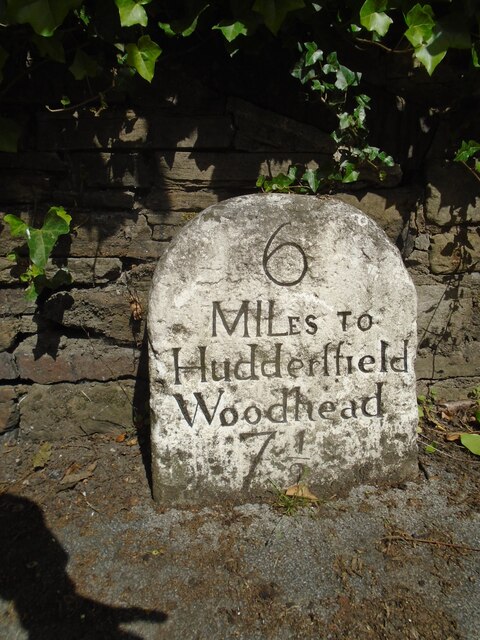
Images are sourced within 2km of 53.585355/-1.8035151 or Grid Reference SE1309. Thanks to Geograph Open Source API. All images are credited.

Trig Point on Wolfstones Heights
Track leading down to Bank Dike from B6107
Old milestone At the entrance to Lydgett Farm on Moor Lane, Netherthong is this out of place milestone.   It had been used as a gatepost at SE119092 and then on the top of a stone wall.   It has mileages to Penistone (penyston) 8 Miles, this face, Marsden and Huddersfield with pointing hands.  It is mentioned in WB Crump, Huddersfield Highways Down The Ages P146/147 and may have been at the crossroads Bradshaw Road/Wilshaw Mill Road near where it was used as a gatepost.

Milestone Society National ID: YW_XMELc
Old milestone
At the entrance to Lydgett Farm on Moor Lane, Netherthong is this out of place milestone. It had been used as a gatepost at SE119092 and then on the top of a stone wall. It has mileages to Penistone (penyston) 8 Miles, this face, Marsden and Huddersfield with pointing hands. It is mentioned in WB Crump, Huddersfield Highways Down The Ages P146/147 and may have been at the crossroads Bradshaw Road/Wilshaw Mill Road near where it was used as a gatepost. Milestone Society National ID: YW_XMELc
Old milestone The left face of the old milestone at Lydgett Farm.   With imagination, Marfden/5 miles can be discerned.
Old milestone
The left face of the old milestone at Lydgett Farm. With imagination, Marfden/5 miles can be discerned.
Old milestone The right face of the stone at the entrance to Lydgett Farm.   Inscribed Huddersfild, the s is above the r.  The top of the cuffed hand pointing to the left can just be seen.
Old milestone
The right face of the stone at the entrance to Lydgett Farm. Inscribed Huddersfild, the s is above the r. The top of the cuffed hand pointing to the left can just be seen.
Old milestone Just to the north of the town centre this stone from the 1768-1876 Huddersfield to Woodhead turnpike road is in a small lay-by.   Painted a few years ago it now needs a good wash.   The rest of the stones towards the top of Holme Moss, 7, 8, 9 AD 10 are in place and well painted.   In 2011 the Huddersfield 4 and 5 stones were also by the roadside.
Old milestone
Just to the north of the town centre this stone from the 1768-1876 Huddersfield to Woodhead turnpike road is in a small lay-by. Painted a few years ago it now needs a good wash. The rest of the stones towards the top of Holme Moss, 7, 8, 9 AD 10 are in place and well painted. In 2011 the Huddersfield 4 and 5 stones were also by the roadside.
Interior of St Andrew's church, Thongsbridge For the outside of the church, see <a href="https://www.geograph.org.uk/photo/751457">SE1409 : St Andrew's Church, Thongsbridge, Wooldale</a>. This is the inside, looking liturgical west (geographically south-west). 

The church was built in 1877 as a chapel of ease. A school was added in 1891. There was a burial ground opened in 1938 but it was never used for burials and was sold in 1988. 

Note: the building was closed for worship in 2013 and sold to a private owner in 2020 (after this photo was taken) with planning permission for residential conversion, so is no longer publicly accessible. This view shows it as it had been as a place of worship.
Interior of St Andrew's church, Thongsbridge
For the outside of the church, see SE1409 : St Andrew's Church, Thongsbridge, Wooldale. This is the inside, looking liturgical west (geographically south-west). The church was built in 1877 as a chapel of ease. A school was added in 1891. There was a burial ground opened in 1938 but it was never used for burials and was sold in 1988. Note: the building was closed for worship in 2013 and sold to a private owner in 2020 (after this photo was taken) with planning permission for residential conversion, so is no longer publicly accessible. This view shows it as it had been as a place of worship.
Old Milestone by the A635, Greenfield Road, west of Holmfirth Metal plate attached to stone post by the A635, in parish of Holme Valley (Kirklees District), Greenfield Road, Upperthorpe, Holmfirth, by electricity pylon 196, just above bus turning circle on opposite side of road, on North side of road. Brayshaw & Booth iron casting, erected by the County Council in the 19th century. An earlier photograph can be seen here <a title="https://www.geograph.org.uk/photo/6102142" href="https://www.geograph.org.uk/photo/6102142">Link</a>.

Inscription reads:-
: HOLMFIRTH / 1 MILE / BARNSLEY / 15 MILES : : GREENFIELD & SHEPLEY / LANE HEAD / ROAD / UPPERTHONG : : GREEN / FIELD / 9½ MILES / OLDHAM / 13¾ MILES :
Maker:-
: BRAYSHAW & BOOTH / MAKERS / LIVERSEDGE :

Grade II Listed.
List Entry Number: 1134872 <span class="nowrap"><a title="https://historicengland.org.uk/listing/the-list/list-entry/1134872" rel="nofollow ugc noopener" href="https://historicengland.org.uk/listing/the-list/list-entry/1134872">Link</a><img style="margin-left:2px;" alt="External link" title="External link - shift click to open in new window" src="https://s1.geograph.org.uk/img/external.png" width="10" height="10"/></span>

Milestone Society National ID: YW_GFSLH09
Old Milestone by the A635, Greenfield Road, west of Holmfirth
Metal plate attached to stone post by the A635, in parish of Holme Valley (Kirklees District), Greenfield Road, Upperthorpe, Holmfirth, by electricity pylon 196, just above bus turning circle on opposite side of road, on North side of road. Brayshaw & Booth iron casting, erected by the County Council in the 19th century. An earlier photograph can be seen here Link. Inscription reads:- : HOLMFIRTH / 1 MILE / BARNSLEY / 15 MILES : : GREENFIELD & SHEPLEY / LANE HEAD / ROAD / UPPERTHONG : : GREEN / FIELD / 9½ MILES / OLDHAM / 13¾ MILES : Maker:- : BRAYSHAW & BOOTH / MAKERS / LIVERSEDGE : Grade II Listed. List Entry Number: 1134872 LinkExternal link Milestone Society National ID: YW_GFSLH09
The Lidl supermarket, Holmfirth
Oldfield Road and Knoll Lane
Footpath from Wood Nook towards Wilshaw
Meltham Mills Reservoir near Windy Bank Wood
Footpath towards Oldfield
Footpath towards Field End Lane
End of the road, Broadacres, Honley
Houses at Upper Oldfield
Footpath approaching Wood Nook
Ruins west of Wood Nook The site is named Lower Cote on maps prior to the 1960s.
Ruins west of Wood Nook
The site is named Lower Cote on maps prior to the 1960s.
Show me another place!

Holmroyd Wood is located at Grid Ref: SE1309 (Lat: 53.585355, Lng: -1.8035151)

Division: West Riding

Unitary Authority: Kirklees

Police Authority: West Yorkshire

What 3 Words

///shine.carbon.gather. Near Holmfirth, West Yorkshire

Nearby Locations

Holmroyd Wood

Related Wikis

Holme Valley

Holme Valley, formerly Holmfirth is a large civil parish in the metropolitan borough of Kirklees in West Yorkshire, England. It has a population of 25...

Netherthong

Netherthong is a village and former civil parish, now in the parish of Holme Valley, and the metropolitan borough of Kirklees in West Yorkshire, England...

Heavy Woollen District

The Heavy Woollen District is a region of textile-focused industrial development in West Yorkshire, England. It acquired the name because of the heavyweight...

Kirklees

Kirklees is a metropolitan borough of West Yorkshire, England. The borough comprises the ten towns of Batley, Birstall, Cleckheaton, Dewsbury, Heckmondwike...

Nearby Amenities

Located within 500m of 53.585355,-1.8035151
Bus Stop
Moor Lane Fox House Farm
Local Ref: 45019158
Naptan AtcoCode: 450019158
Naptan Bearing: W
Naptan CommonName: Moor Lane Fox House Farm
Naptan Crossing: Twixt Broomy Lea Lane & Wolfstone Road
Naptan Indicator: Stop 45019158
Naptan Landmark: Fox House Farm
Naptan PlusbusZoneRef: LEEDS
Naptan ShortCommonName: Fox House Farm
Naptan Street: Moor Lane
Naptan Verified: no
Public Transport: platform
Source: naptan_import
Lat/Long: 53.5820669/-1.8012216
Bus Stop
Knoll Lane Oldfield Road
Local Ref: 45019161
Naptan AtcoCode: 450019161
Naptan Bearing: SW
Naptan CommonName: Knoll Lane Oldfield Road
Naptan Crossing: Oldfield Road
Naptan Indicator: Stop 45019161
Naptan PlusbusZoneRef: LEEDS
Naptan ShortCommonName: Oldfield Road
Naptan Street: Knoll Lane
Naptan Verified: no
Source: naptan_import
Lat/Long: 53.5889945/-1.8051472
Bus Stop
Oldfield Road Miry Lane
Bus: yes
Local Ref: 45024957
Naptan AtcoCode: 450024957
Naptan Bearing: SW
Naptan CommonName: Oldfield Road Miry Lane
Naptan Crossing: Miry Lane
Naptan Indicator: Stop 45024957
Naptan PlusbusZoneRef: LEEDS
Naptan ShortCommonName: Miry Lane
Naptan Street: Oldfield Road
Naptan Verified: no
Public Transport: platform
Source: naptan_import
Lat/Long: 53.5886082/-1.7994249
Moor Lane
Local Ref: 45050763
Naptan AtcoCode: 450050763
Naptan Bearing: E
Naptan BusStopType: CUS
Naptan CommonName: Moor Lane
Naptan Indicator: Stop 45050763
Naptan PlusbusZoneRef: LEEDS
Naptan ShortCommonName: Fox House Farm
Naptan Street: Moor Lane
Naptan Verified: no
Source: naptan_import
Lat/Long: 53.5821388/-1.8012213
Knoll Lane Oldfield Road
Local Ref: 45050765
Naptan AtcoCode: 450050765
Naptan Bearing: NE
Naptan BusStopType: CUS
Naptan CommonName: Knoll Lane Oldfield Road
Naptan Indicator: Stop 45050765
Naptan PlusbusZoneRef: LEEDS
Naptan ShortCommonName: Woodnook Lane
Naptan Street: Knoll Lane
Naptan Verified: no
Source: naptan_import
Lat/Long: 53.5890487/-1.8053283
Oldfield Road Miry Lane
Local Ref: 45051501
Naptan AtcoCode: 450051501
Naptan Bearing: NE
Naptan BusStopType: CUS
Naptan CommonName: Oldfield Road Miry Lane
Naptan Indicator: Stop 45051501
Naptan PlusbusZoneRef: LEEDS
Naptan ShortCommonName: Miry Lane
Naptan Street: Oldfield Road
Naptan Verified: no
Source: naptan_import
Lat/Long: 53.5886527/-1.799529
Power: pole
Lat/Long: 53.5895074/-1.8007092
Line Management: branch
Power: pole
Lat/Long: 53.5896883/-1.8018685
Power: pole
Lat/Long: 53.5891149/-1.8009627
Power: pole
Lat/Long: 53.5885442/-1.8000751
The data included in this document is from www.openstreetmap.org. The data is made available under ODbL.

Have you been to Holmroyd Wood?

Leave your review of Holmroyd Wood below (or comments, questions and feedback).