Duckpond Plantation
Wood, Forest in Derbyshire Derbyshire Dales
England
Duckpond Plantation
Duckpond Plantation is a picturesque woodland located in Derbyshire, England. Situated near the village of Wood, this sprawling forest covers an area of approximately 200 acres. The plantation is renowned for its stunning natural beauty, making it a popular destination for nature enthusiasts and outdoor adventurers.
The woodland is characterized by its dense canopy of majestic oak, beech, and pine trees, providing a lush and serene atmosphere. The plantation's name originates from the scenic duck pond nestled within its boundaries. The pond serves as a habitat for various waterfowl species, attracting birdwatchers and wildlife enthusiasts throughout the year.
Duckpond Plantation boasts an extensive network of footpaths and trails, inviting visitors to explore its enchanting surroundings. The well-maintained paths offer opportunities for leisurely walks, jogging, and cycling. Along these routes, visitors can admire the diverse flora and fauna that call this woodland home. Bluebells carpet the forest floor in the spring, creating a breathtaking sight for nature lovers.
This woodland is also an important conservation area, providing a safe haven for a range of wildlife species. Deer, foxes, badgers, and numerous bird species can be spotted within the plantation. Birdwatchers may be lucky enough to catch a glimpse of rare and elusive species such as woodpeckers and owls.
Duckpond Plantation offers a peaceful retreat from the hustle and bustle of city life, allowing visitors to connect with nature and experience the tranquility of the forest. Its idyllic setting and abundant wildlife make it a must-visit destination for nature enthusiasts and those seeking a serene escape.
If you have any feedback on the listing, please let us know in the comments section below.
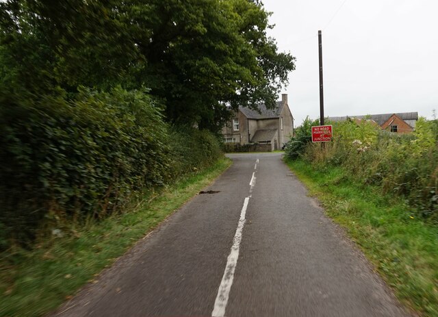
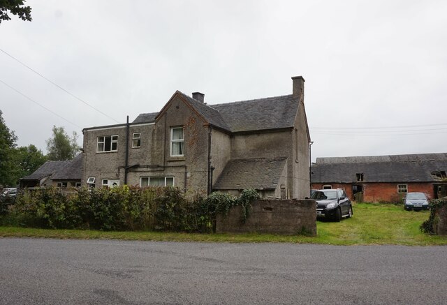
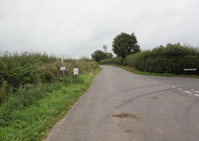
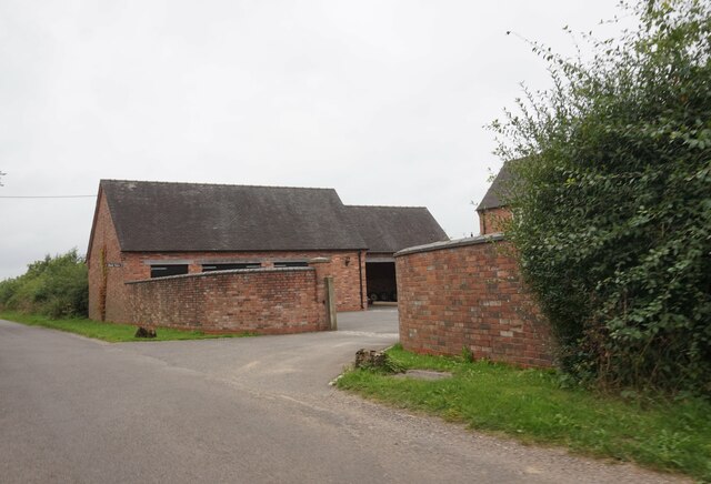
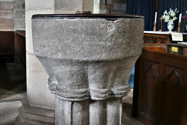
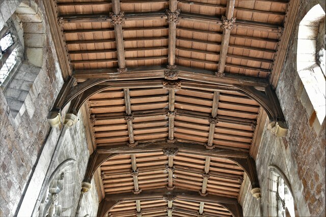
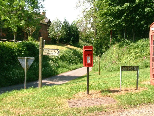
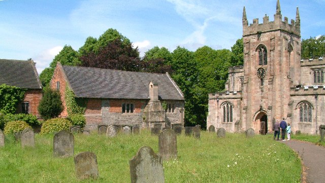
Duckpond Plantation Images
Images are sourced within 2km of 52.972884/-1.8068067 or Grid Reference SK1341. Thanks to Geograph Open Source API. All images are credited.


Duckpond Plantation is located at Grid Ref: SK1341 (Lat: 52.972884, Lng: -1.8068067)
Administrative County: Derbyshire
District: Derbyshire Dales
Police Authority: Derbyshire
What 3 Words
///clocks.tightest.ogre. Near Mayfield, Staffordshire
Nearby Locations
Related Wikis

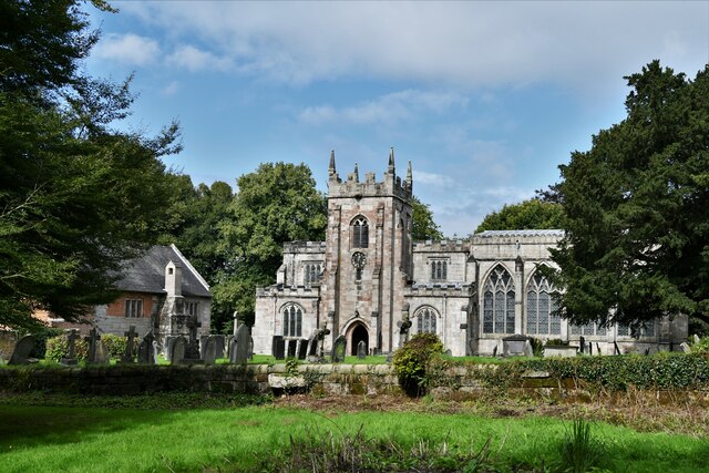
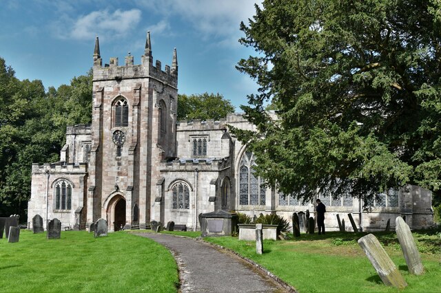
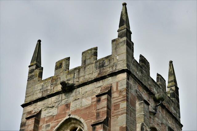
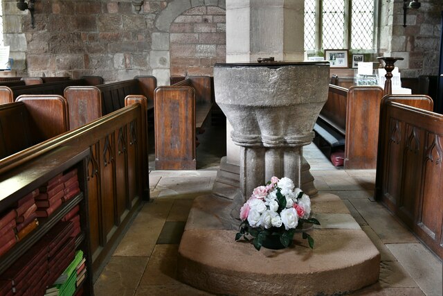
St Mary and St Barlock's Church, Norbury
St Mary and St Barlock's Church, Norbury is a Grade I listed parish church in the Church of England: 289 in Norbury, Derbyshire. == History == The present...
Norbury and Roston
Norbury with Roston is a civil parish in west Derbyshire incorporating the villages of Norbury and Roston. == See also == Listed buildings in Norbury and...
Norbury, Derbyshire
Norbury is a village in Derbyshire, England. It is located 3 miles (4.8 km) north of Rocester, on the B5033 road and the River Dove (which is the traditional...
Norbury Manor
Norbury Manor is a 15th-century Elizabethan manor house and the adjoining 13th-century stone-built medieval hall house, Norbury Hall, known as The Old...

Norbury and Ellaston railway station
Norbury and Ellaston railway station was on a branch of the North Staffordshire Railway between Rocester and Ashbourne. The station, which had a waiting...
Calwich Abbey
Calwich Abbey, previously Calwich Priory, was in turn the name of a medieval Augustinian priory and two successive country houses built on the same site...
Ellastone
Ellastone is a village in the East Staffordshire borough of Staffordshire, in the West Midlands of England. It is on the Staffordshire side of the River...

Anacrehill
Anacrehill is an area of Snelston parish, to the south of the village. The area contains a small number of cottages and farmhouses located on Virginsalley...
Nearby Amenities
Located within 500m of 52.972884,-1.8068067Have you been to Duckpond Plantation?
Leave your review of Duckpond Plantation below (or comments, questions and feedback).