Lee Wood

Wood, Forest in Staffordshire Staffordshire Moorlands

England

Lee Wood

Trees in the last of the light
Trees in the last of the light Credit: Peter Allen

Lee Wood is a serene woodland located in Staffordshire, England. Nestled within the picturesque landscape of the Staffordshire Moorlands, this natural haven offers visitors an opportunity to escape the hustle and bustle of modern life and immerse themselves in the tranquility of nature.

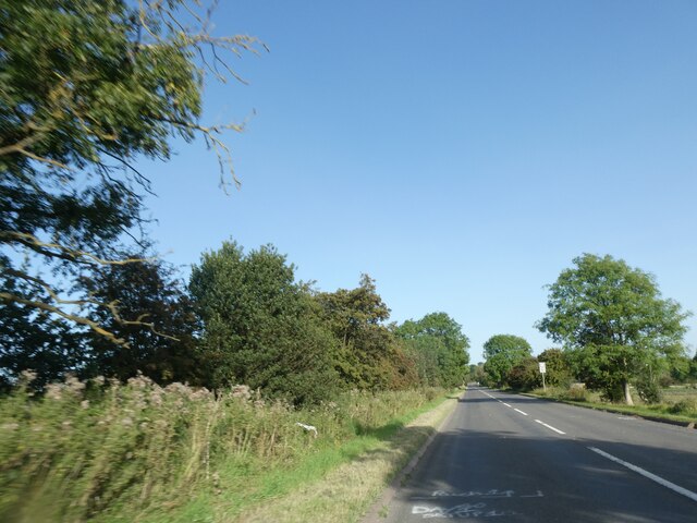
Covering an area of approximately 500 acres, Lee Wood is a diverse mix of ancient woodland, coniferous trees, and open spaces. The woodland is predominantly composed of oak, birch, and beech trees, which create a dense canopy that provides shade and shelter for an array of wildlife. The forest floor is adorned with an enchanting carpet of bluebells during the springtime, adding a splash of color and fragrance to the surroundings.

The woodlands are crisscrossed with a network of well-maintained footpaths and trails, making it a popular destination for walkers, hikers, and nature enthusiasts. These paths wind through the woodlands, leading visitors to hidden gems such as the tranquil Mill Pool, a small lake situated within the heart of the woodland.

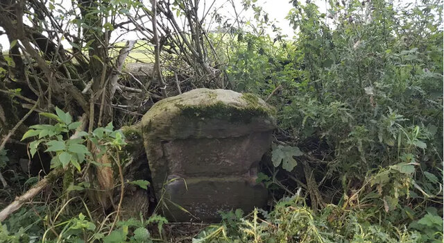
In addition to its natural beauty, Lee Wood also holds historical significance. The woodlands were once part of the vast estate of the Sneyd family, who owned the nearby Keele Hall. The remnants of ancient features, such as old stone walls and forgotten pathways, can still be spotted, adding an air of mystery and intrigue to the woodland.

Lee Wood, Staffordshire, is a true haven for those seeking solace in nature, offering an escape from the fast-paced world and a chance to connect with the beauty and tranquility of the natural environment.

If you have any feedback on the listing, please let us know in the comments section below.
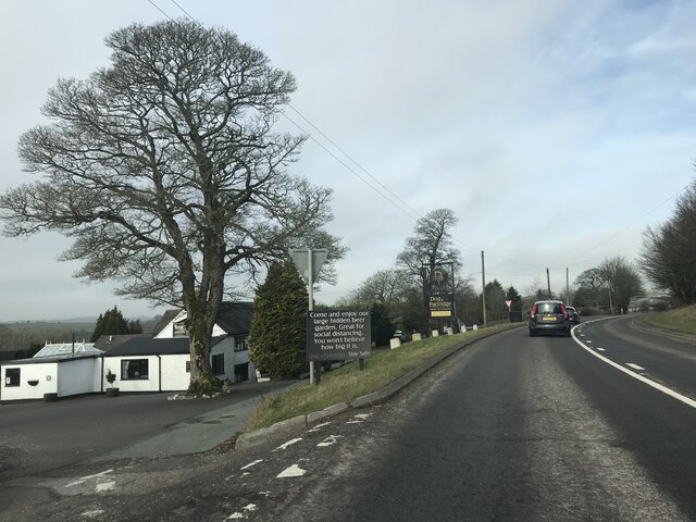
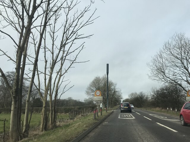
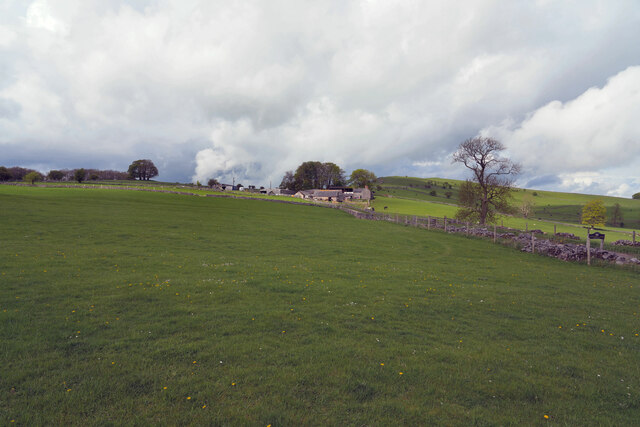
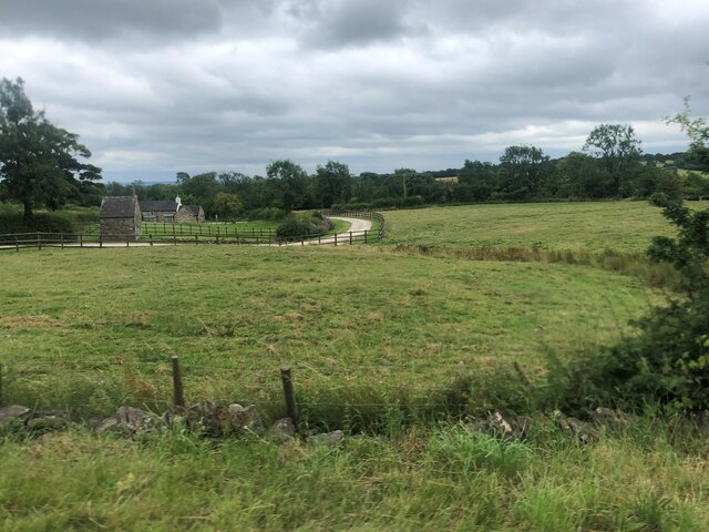
Lee Wood Images

Images are sourced within 2km of 53.025671/-1.8080025 or Grid Reference SK1247. Thanks to Geograph Open Source API. All images are credited.

Trees in the last of the light
Junction signage on A52
Speed Camera Warning Signage
Dog & Partridge - Swinscoe
Speed Limit change
Speed Limit change
Junction signage
Junction signage
The Waterings Farm The farm is off Blore Lane and has a good view across and down the valley.
The Waterings Farm
The farm is off Blore Lane and has a good view across and down the valley.
Looking along Blore Lane Looking back down the road from the position of the previous submission <a href="https://www.geograph.org.uk/photo/7479439">SK1249 : The Waterings Farm</a>.
Looking along Blore Lane
Looking back down the road from the position of the previous submission SK1249 : The Waterings Farm.
Dog and Partridge Inn On the edge of the Peak District National Park
Dog and Partridge Inn
On the edge of the Peak District National Park
Drive to Little Moor Cottage
Lay-by on A52 near Cornpark The A52 is a major east-west road in the East Midlands. It runs east from a junction with the A53 at Newcastle-under-Lyme near Stoke-on-Trent (just east of the M6) to the Lincolnshire coast at Mablethorpe. Running for approximately 147 miles, its route passes via Ashbourne, Derby, Stapleford, Nottingham, West Bridgford, Bingham, Grantham, Boston and Skegness.
Lay-by on A52 near Cornpark
The A52 is a major east-west road in the East Midlands. It runs east from a junction with the A53 at Newcastle-under-Lyme near Stoke-on-Trent (just east of the M6) to the Lincolnshire coast at Mablethorpe. Running for approximately 147 miles, its route passes via Ashbourne, Derby, Stapleford, Nottingham, West Bridgford, Bingham, Grantham, Boston and Skegness.
The Dog and Partridge at Swinscoe
Drive to Littlemoor Cottage (a footpath)
Milepost by A523 near Calton Moor House And a distant wind turbine
Milepost by A523 near Calton Moor House
And a distant wind turbine
Long straight length of A52, west of Swinscoe The A52 is a major east-west road in the East Midlands. It runs east from a junction with the A53 at Newcastle-under-Lyme near Stoke-on-Trent (just east of the M6) to the Lincolnshire coast at Mablethorpe. Running for approximately 147 miles, its route passes via Ashbourne, Derby, Stapleford, Nottingham, West Bridgford, Bingham, Grantham, Boston and Skegness.
Long straight length of A52, west of Swinscoe
The A52 is a major east-west road in the East Midlands. It runs east from a junction with the A53 at Newcastle-under-Lyme near Stoke-on-Trent (just east of the M6) to the Lincolnshire coast at Mablethorpe. Running for approximately 147 miles, its route passes via Ashbourne, Derby, Stapleford, Nottingham, West Bridgford, Bingham, Grantham, Boston and Skegness.
Bus shelter by A52, Swinscoe The A52 is a major east-west road in the East Midlands. It runs east from a junction with the A53 at Newcastle-under-Lyme near Stoke-on-Trent (just east of the M6) to the Lincolnshire coast at Mablethorpe. Running for approximately 147 miles, its route passes via Ashbourne, Derby, Stapleford, Nottingham, West Bridgford, Bingham, Grantham, Boston and Skegness.
Bus shelter by A52, Swinscoe
The A52 is a major east-west road in the East Midlands. It runs east from a junction with the A53 at Newcastle-under-Lyme near Stoke-on-Trent (just east of the M6) to the Lincolnshire coast at Mablethorpe. Running for approximately 147 miles, its route passes via Ashbourne, Derby, Stapleford, Nottingham, West Bridgford, Bingham, Grantham, Boston and Skegness.
Lay-by on A52 south-east of Swinscoe Shallow and unprotected
Lay-by on A52 south-east of Swinscoe
Shallow and unprotected
Old Milestone by Ilam-Moor Lane, west of Blore Stone post (plate lost) by the UC road, Ilam-Moor Lane, in parish of Blore with Swinscoe (Staffordshire Moorlands District), West of Blore cross-roads, on grass verge, on South side of road. Cheadle iron plate, erected by the Cheadle to Butterton Moor (District of Cheadle) turnpike trust in the 19th century. 

Inscription once read:-
(CHEADLE)
(10)

Staffordshire HER.
HER Number: 20672 <span class="nowrap"><a title="https://www.heritagegateway.org.uk/Gateway/Results_Single.aspx?uid=MST5936&resourceID=1010" rel="nofollow ugc noopener" href="https://www.heritagegateway.org.uk/Gateway/Results_Single.aspx?uid=MST5936&resourceID=1010">Link</a><img style="margin-left:2px;" alt="External link" title="External link - shift click to open in new window" src="https://s1.geograph.org.uk/img/external.png" width="10" height="10"/></span>

Milestone Society National ID: ST_CDBM10
Old Milestone by Ilam-Moor Lane, west of Blore
Stone post (plate lost) by the UC road, Ilam-Moor Lane, in parish of Blore with Swinscoe (Staffordshire Moorlands District), West of Blore cross-roads, on grass verge, on South side of road. Cheadle iron plate, erected by the Cheadle to Butterton Moor (District of Cheadle) turnpike trust in the 19th century. Inscription once read:- (CHEADLE) (10) Staffordshire HER. HER Number: 20672 LinkExternal link Milestone Society National ID: ST_CDBM10
Show me another place!

Lee Wood is located at Grid Ref: SK1247 (Lat: 53.025671, Lng: -1.8080025)

Administrative County: Staffordshire

District: Staffordshire Moorlands

Police Authority: Staffordshire

What 3 Words

///silently.mainly.windmills. Near Mayfield, Staffordshire

Nearby Locations

Lee Wood The Coppice

Related Wikis

Swinscoe

Swinscoe is a small hamlet within the Staffordshire Moorlands in Staffordshire, England. Administratively, the hamlet is part of the civil parish of Blore...

Blore

Blore (grid reference SK137493) is a small village and parish in the Staffordshire Moorlands District of England. It is on an acclivity above Dovedale...

Blore with Swinscoe

Blore with Swinscoe is a civil parish north-west of Ashbourne, in the Staffordshire Moorlands district of Staffordshire, England, on the edge of the Peak...

Stanton, Staffordshire

Stanton is a small village situated at the eastern end of the Weaver Hills, Staffordshire, England. Stanton is located 146 miles (235.0 km) north-west...

Thorswood

Thorswood is a nature reserve of the Staffordshire Wildlife Trust, situated in the Weaver Hills near the village of Stanton, in Staffordshire, England...

Ilam, Staffordshire

Ilam ( ) is a village in the Staffordshire Peak District of England, lying on the River Manifold. The population of the civil parish as taken at the 2011...

Okeover Hall

Okeover Hall is a privately owned Grade II* listed country house in Okeover, Staffordshire, England. It is the family seat of the Okeover family, who have...

River Manifold

The River Manifold is a river in Staffordshire, England. It is a tributary of the River Dove (which also flows through the Peak District, forming the boundary...

Nearby Amenities

Located within 500m of 53.025671,-1.8080025
Barrier: stile
Stile: squeezer
Lat/Long: 53.0300655/-1.8068293
Barrier: stile
Steps: 1
Stile: stepover
Lat/Long: 53.027786/-1.8050557
Barrier: kissing_gate
Lat/Long: 53.0266071/-1.805173
Barrier: stile
Steps: 1
Stile: stepover
Lat/Long: 53.0273415/-1.8049892
Barrier: stile
Steps: 1
Stile: stepover
Lat/Long: 53.02358/-1.8066127
Barrier: stile
Stile: squeezer
Lat/Long: 53.0227324/-1.8062957
Ford: yes
Lat/Long: 53.0227111/-1.8062956
Barrier: stile
Steps: 2
Stile: stepover
Lat/Long: 53.0216858/-1.8063853
Barrier: stile
Steps: 2
Stile: stepover
Lat/Long: 53.0216106/-1.8063856
The data included in this document is from www.openstreetmap.org. The data is made available under ODbL.

Have you been to Lee Wood?

Leave your review of Lee Wood below (or comments, questions and feedback).