Billingside Plantation
Wood, Forest in Durham
England
Billingside Plantation

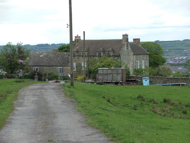
Billingside Plantation is a historic property located in Durham, North Carolina. Nestled amidst a serene wood and forest area, it is a prominent landmark that showcases the rich history of the region. The plantation spans over a vast expanse of land, offering visitors a glimpse into the past.
Dating back to the 18th century, Billingside Plantation played a significant role in the area's agricultural development. The plantation was primarily focused on the cultivation of crops like tobacco, corn, and cotton, which were the mainstay of the local economy at the time. The property features several well-preserved structures, including the main house, slave quarters, and various outbuildings, which provide insight into the day-to-day life of plantation residents.
The main house, constructed in a traditional Southern architectural style, stands as a testament to the craftsmanship of the era. It boasts elegant features like a wide veranda, intricate woodwork, and spacious rooms. The surrounding forest and woodlands contribute to the plantation's charm, offering a tranquil setting for visitors to explore.
Today, Billingside Plantation serves as a historical site and museum, preserving the heritage of the area for future generations. Guided tours are available, allowing visitors to learn about the plantation's history and gain a deeper understanding of the region's past. The site also hosts events and educational programs, providing a platform for cultural enrichment and community engagement.
Billingside Plantation is a cherished landmark, showcasing the legacy of Durham and offering a unique opportunity to step back in time and appreciate the historical significance of the region.
If you have any feedback on the listing, please let us know in the comments section below.
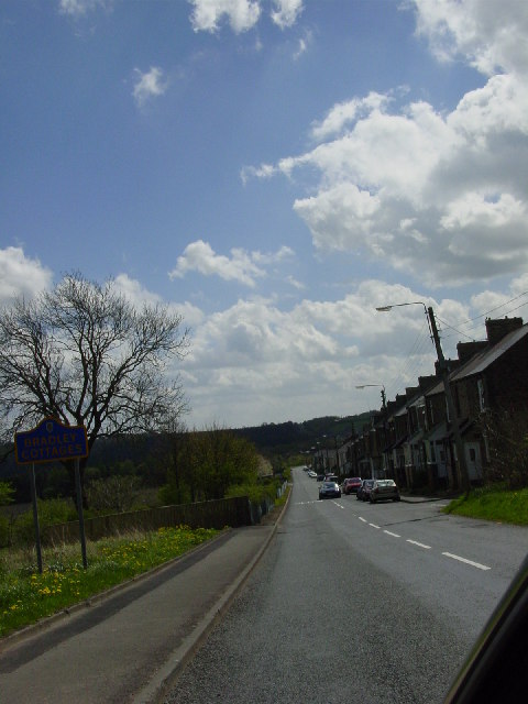
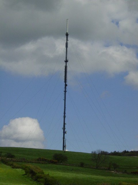
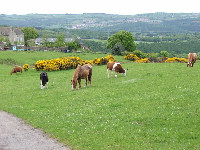
Billingside Plantation Images
Images are sourced within 2km of 54.866915/-1.799975 or Grid Reference NZ1252. Thanks to Geograph Open Source API. All images are credited.


Billingside Plantation is located at Grid Ref: NZ1252 (Lat: 54.866915, Lng: -1.799975)
Unitary Authority: County Durham
Police Authority: Durham
What 3 Words
///caller.crisis.rats. Near Consett, Co. Durham
Nearby Locations
Related Wikis

Leadgate railway station
Leadgate railway station served the village of Leadgate, County Durham, England, from 1896 to 1964 on the Stanhope and Tyne Railway. == History == The...
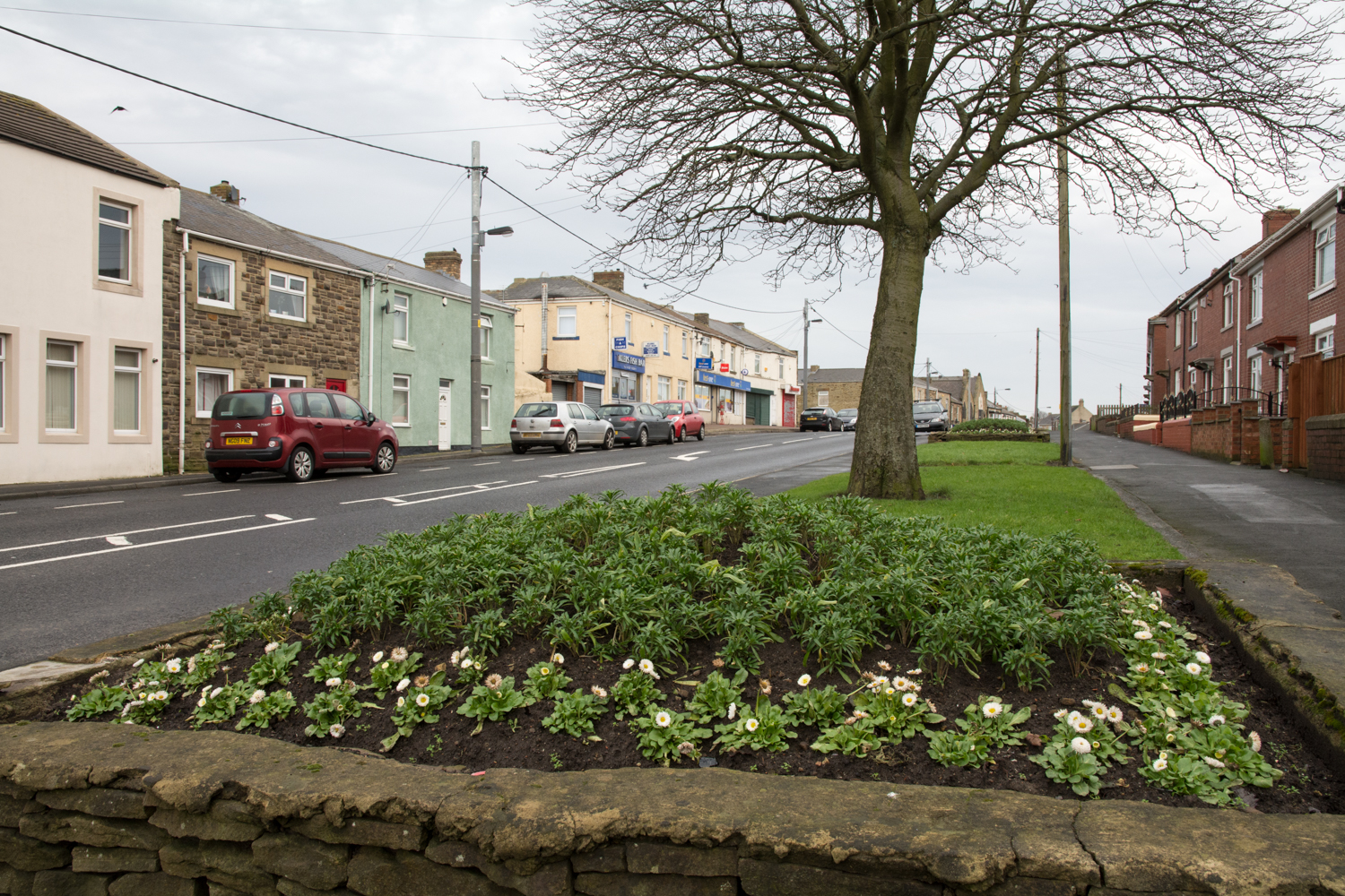
Leadgate, County Durham
Leadgate is a village in County Durham, in England. It is situated to the north-east of Consett. The Roman road Dere Street runs straight through the middle...
Carrhouse railway station
Carrhouse railway station, also known as Carr House railway station, served the area of Carrhouse, County Durham, England, from 1858 to 1868 on the Stanhope...
Crook Hall
Crook Hall, sited near Lanchester, County Durham, some 8 miles (13 km) north west of the city of Durham, was the seat of the Baker family and one of two...
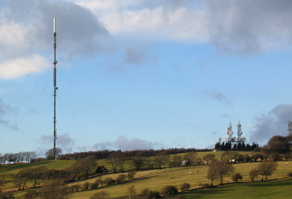
Pontop Pike transmitting station
The Pontop Pike transmitting station is a facility for telecommunications and broadcasting situated on a 312-metre (1,024-ft) high hill of the same name...
Stony Heap
Stony Heap is a hamlet in County Durham, in England. It is situated between Leadgate and Annfield Plain. There used to be 6 houses and 2 farms plus the...

Medomsley
Medomsley is a village in County Durham, England. It is about 2 miles (3 km) northeast of the centre of Consett, 1+1⁄2 miles (2 km) south of Hamsterley...
Consett A.F.C.
Consett Association Football Club is a football club based in Consett in County Durham, England. They are currently members of the Northern Premier League...
Nearby Amenities
Located within 500m of 54.866915,-1.799975Have you been to Billingside Plantation?
Leave your review of Billingside Plantation below (or comments, questions and feedback).