Coldmoor Coppice
Wood, Forest in Gloucestershire Cotswold
England
Coldmoor Coppice
Coldmoor Coppice is a picturesque woodland located in Gloucestershire, England. Covering an area of approximately 50 acres, it is a thriving example of a coppiced forest. The woodland consists mainly of oak and ash trees, creating a dense and diverse ecosystem.
The coppicing technique, traditionally employed in the area, involves cutting trees at the base to encourage the growth of new shoots. This practice has been ongoing in Coldmoor Coppice for centuries, resulting in a unique and well-maintained woodland. The regular cutting ensures a constant supply of wood for various purposes, including fuel, construction, and crafts.
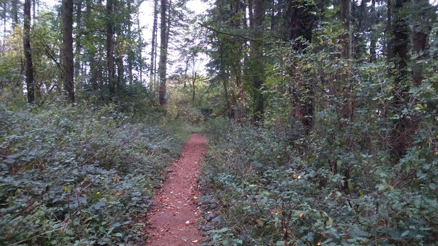
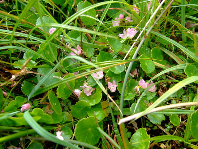
The forest floor is covered in a rich carpet of wildflowers and ferns, creating a vibrant and colorful environment. This diverse undergrowth provides a habitat for a wide range of wildlife, including birds, mammals, and insects. It is not uncommon to spot woodpeckers, deer, and various species of butterflies while exploring the woodland.
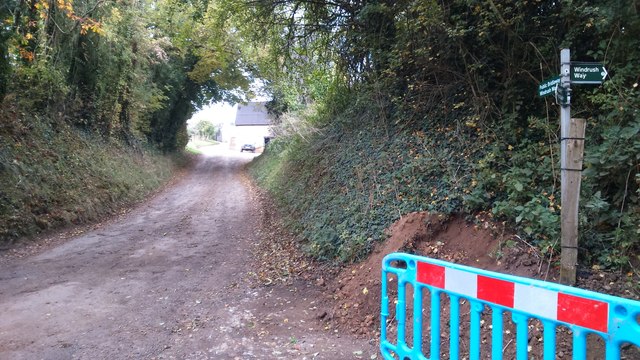
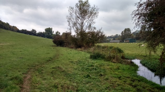
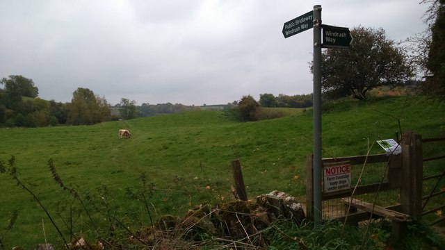
Coldmoor Coppice is a popular destination for nature enthusiasts, hikers, and photographers. Several well-marked trails wind through the forest, offering visitors the opportunity to explore its beauty at their own pace. The woodland also features a small picnic area, allowing visitors to relax and enjoy the tranquil surroundings.
Conservation efforts play a vital role in maintaining the ecological balance of Coldmoor Coppice. Local authorities, along with volunteers, work tirelessly to preserve the forest's natural heritage, ensuring its long-term sustainability. Through educational programs and guided tours, they also aim to raise awareness about the importance of preserving such habitats.
Overall, Coldmoor Coppice is a captivating woodland that offers a serene escape into nature, showcasing the beauty and significance of Gloucestershire's forests.
If you have any feedback on the listing, please let us know in the comments section below.
Coldmoor Coppice Images
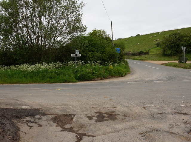
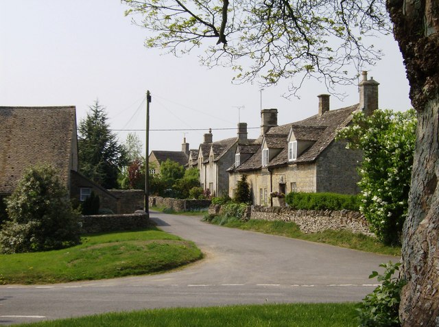
Images are sourced within 2km of 51.886467/-1.8144713 or Grid Reference SP1220. Thanks to Geograph Open Source API. All images are credited.


Coldmoor Coppice is located at Grid Ref: SP1220 (Lat: 51.886467, Lng: -1.8144713)
Administrative County: Gloucestershire
District: Cotswold
Police Authority: Gloucestershire
What 3 Words
///installs.headset.encodes. Near Westfield, Gloucestershire
Nearby Locations
Related Wikis
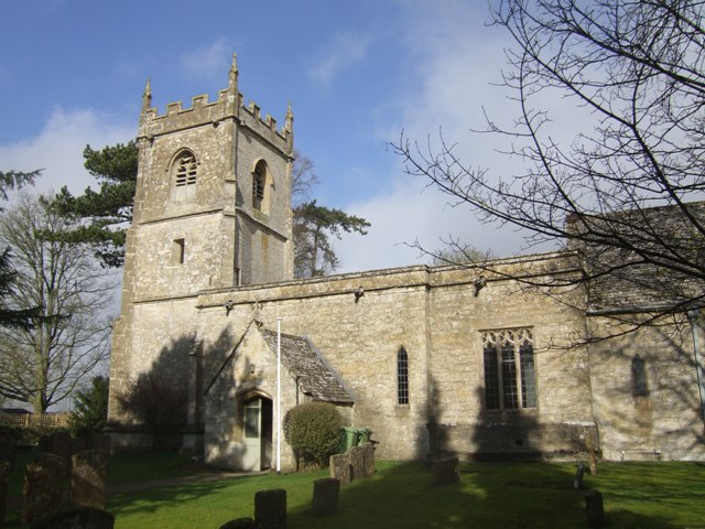
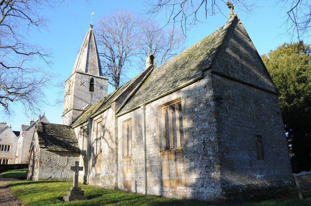
Church of St Andrew, Cold Aston
The Anglican St Andrew's Church at Cold Aston in the Cotswold District of Gloucestershire, England was built in the 12th century. It is a grade I listed...

Harford Railway Cutting
Harford Railway Cutting (SP135218 to SP141215) is a 1.2-hectare (3.0-acre) geological Site of Special Scientific Interest in Gloucestershire, notified...
Cold Aston
Cold Aston (also known as Aston Blank) is a village and civil parish in Gloucestershire, England, approximately 18 miles (29 km) to the east of Gloucester...
Brassey SSSI
Brassey (grid reference SP139223) is a 2.1-hectare (5.2-acre) biological Site of Special Scientific Interest in Gloucestershire, notified in 1954 and renotified...

Naunton
Naunton is a village in Gloucestershire, England. It lies on the River Windrush in the Cotswolds, an area of outstanding natural beauty. Stow-on-the-Wold...
Notgrove
Notgrove is a village and civil parish in Gloucestershire, England, approximately 28.5 (17.8 miles) to the east of Gloucester. It lies in the Cotswolds...
Church of St Bartholomew, Notgrove
The Anglican Church of St Bartholomew at Notgrove in the Cotswold District of Gloucestershire, England was built in the 12th century. It is a grade I listed...
Aylworth
Aylworth is a village in Gloucestershire, England. == References == == External links == Media related to Aylworth at Wikimedia Commons Aylworth in the...
Nearby Amenities
Located within 500m of 51.886467,-1.8144713Have you been to Coldmoor Coppice?
Leave your review of Coldmoor Coppice below (or comments, questions and feedback).