Diamond Jubilee Wood

Wood, Forest in Gloucestershire Cotswold

England

Diamond Jubilee Wood

Road to Blockley Greenway Road leads down into Blockley.
Road to Blockley Credit: Clint Mann

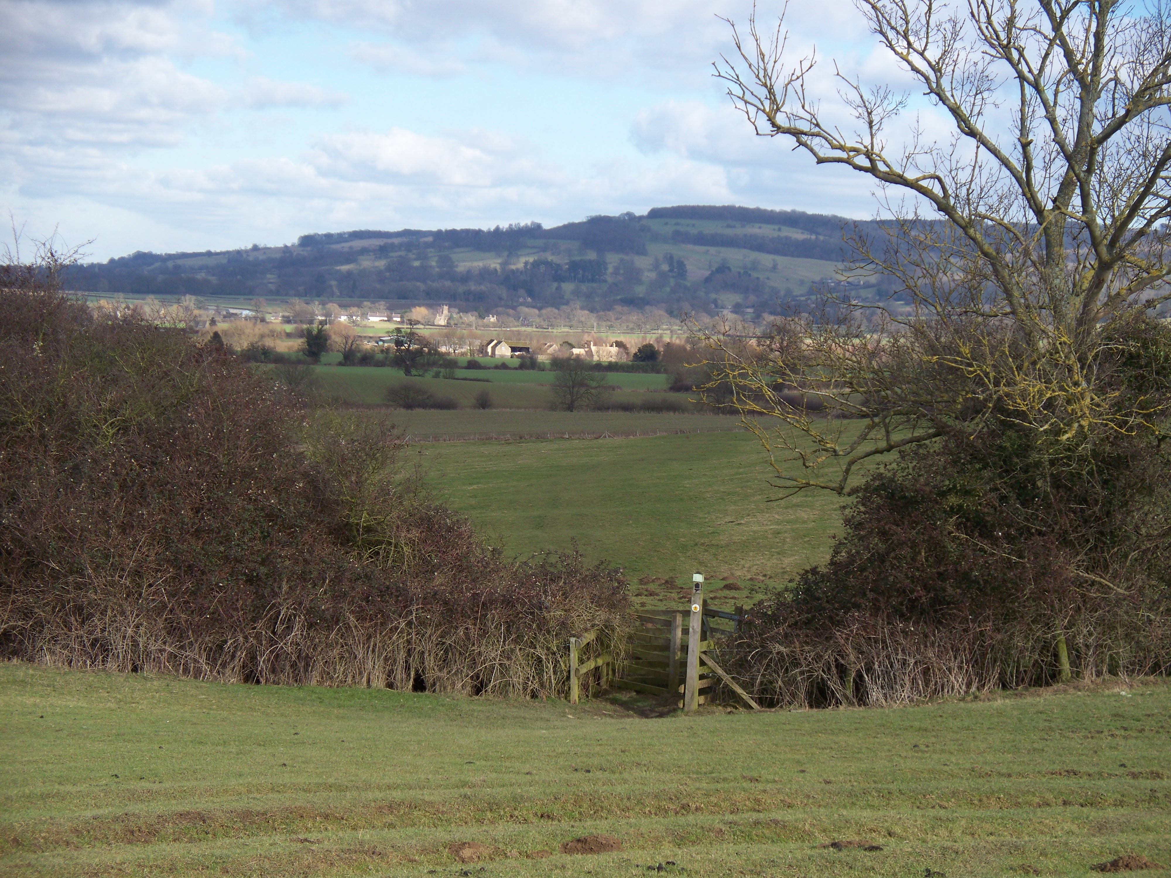
Diamond Jubilee Wood is a woodland located in Gloucestershire, England. It was created in 2012 to commemorate Queen Elizabeth II's Diamond Jubilee, which marked her 60th year on the throne. The wood covers an area of approximately 60 acres and is situated near the village of Moreton Valence.

The woodland consists of a mixture of native tree species, including oak, beech, and cherry, as well as smaller shrubs and plants. It provides a diverse habitat for wildlife, attracting a wide range of birds, insects, and mammals. The wood is managed by the Gloucestershire Wildlife Trust, ensuring its preservation and conservation for future generations.

Diamond Jubilee Wood offers a variety of walking trails and paths, allowing visitors to explore the natural beauty of the area. The wood also features picnic areas and benches, providing a peaceful setting for visitors to relax and enjoy the surroundings.

In addition to its recreational benefits, the wood serves as an important carbon sink, helping to offset carbon dioxide emissions and mitigate climate change. It also contributes to the local economy by attracting tourists and providing opportunities for nature-based activities.

Overall, Diamond Jubilee Wood in Gloucestershire is a significant and cherished natural resource. It not only pays tribute to the Queen's long reign but also serves as a valuable ecological and recreational asset for the local community and visitors alike.

If you have any feedback on the listing, please let us know in the comments section below.

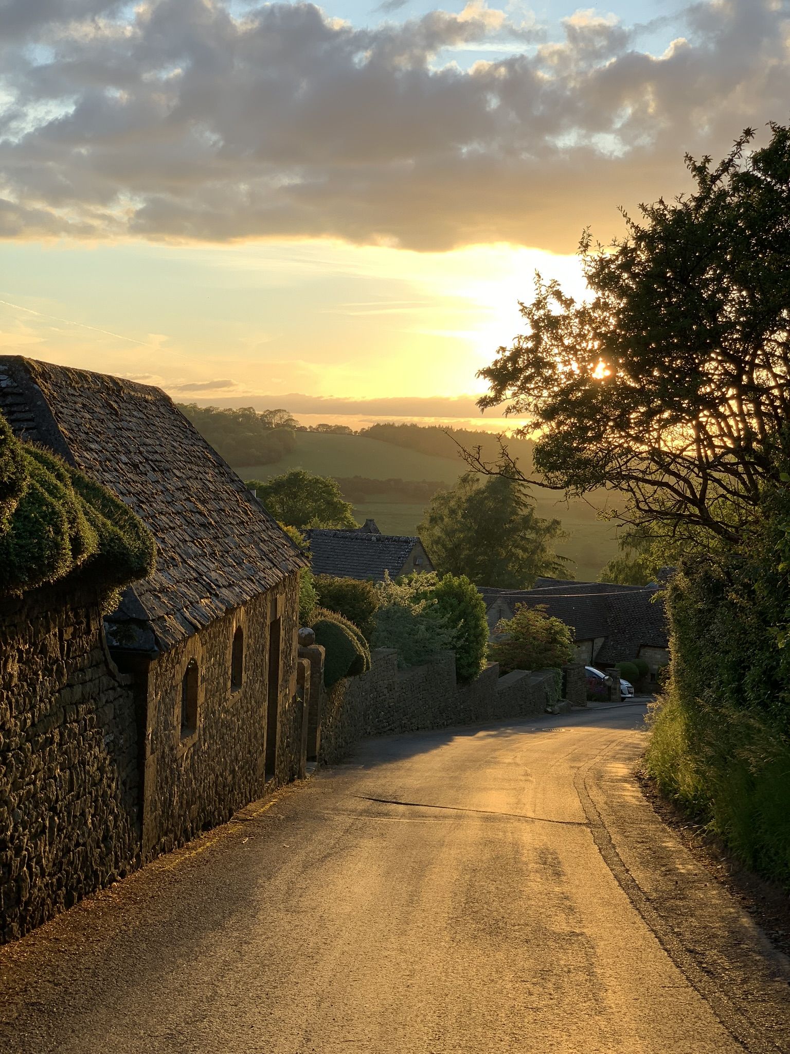
Diamond Jubilee Wood Images

Images are sourced within 2km of 52.014353/-1.8148615 or Grid Reference SP1235. Thanks to Geograph Open Source API. All images are credited.

Road to Blockley Greenway Road leads down into Blockley.
Road to Blockley
Greenway Road leads down into Blockley.
Track and bridleway to Snowshill Hill farm
Narrow road with wide verges north of Snowshill Hill farm Showing old and modern forms of boundary - drystone wall or fencing
Narrow road with wide verges north of Snowshill Hill farm
Showing old and modern forms of boundary - drystone wall or fencing
Headland footpath Headland footpath cut by a considerate farmer.  This path is just to the south of the A44 at Five Mile Drive.
Headland footpath
Headland footpath cut by a considerate farmer. This path is just to the south of the A44 at Five Mile Drive.
Fish Hill Picnic Site Fish Hill picnic site and car park.  There is a toilet block here though at the time of this visit it was locked.
Fish Hill Picnic Site
Fish Hill picnic site and car park. There is a toilet block here though at the time of this visit it was locked.
The B4081 passing through Nathan's Plantation The B4081 to Chipping Campden passing through Nathan's Plantation.
The B4081 passing through Nathan's Plantation
The B4081 to Chipping Campden passing through Nathan's Plantation.
Farmland track Track giving access to farmland to the north of the B4081 near Chipping Campden.
Farmland track
Track giving access to farmland to the north of the B4081 near Chipping Campden.
The A44 entering Gloucestershire The A44 entering Gloucestershire on top of Fish Hill.
The A44 entering Gloucestershire
The A44 entering Gloucestershire on top of Fish Hill.
The A44 entering Worcestershire The A44 entering Worcestershire at the top of Fish Hill.
The A44 entering Worcestershire
The A44 entering Worcestershire at the top of Fish Hill.
Gate piers on Fish Hill This pair of gate piers were probably part of the nearby Spring Hill estate which in the eighteenth and early nineteenth century was owned by the earls of Coventry of Croome Court some fifteen miles to the west.  The county boundary between Gloucestershire, on the left, and Worcestershire, on the right, passes along this road.  The piers are Grade II listed.

Historic England description
2. Late C18. Probably for Lord Coventry. Tall, panelled piers with moulded capping and ball-finials.
Source: <span class="nowrap"><a title="https://www.historicengland.org.uk/listing/the-list/list-entry/1078447" rel="nofollow ugc noopener" href="https://www.historicengland.org.uk/listing/the-list/list-entry/1078447">Link</a><img style="margin-left:2px;" alt="External link" title="External link - shift click to open in new window" src="https://s1.geograph.org.uk/img/external.png" width="10" height="10"/></span>
Gate piers on Fish Hill
This pair of gate piers were probably part of the nearby Spring Hill estate which in the eighteenth and early nineteenth century was owned by the earls of Coventry of Croome Court some fifteen miles to the west. The county boundary between Gloucestershire, on the left, and Worcestershire, on the right, passes along this road. The piers are Grade II listed. Historic England description 2. Late C18. Probably for Lord Coventry. Tall, panelled piers with moulded capping and ball-finials. Source: LinkExternal link
Gate pier, Fish Hill One of a pair of gate piers were probably part of the nearby Spring Hill estate which in the eighteenth and early nineteenth century was owned by the earls of Coventry of Croome Court some fifteen miles to the west.  The county boundary between Gloucestershire, on the left, and Worcestershire, on the right, passes along this road.  The piers are Grade II listed.  There is an OS cutmark on the base of this pier <a href="https://www.geograph.org.uk/photo/5042023">SP1236 : OS cutmark on Fish Hill</a>.

Historic England description
2. Late C18. Probably for Lord Coventry. Tall, panelled piers with moulded capping and ball-finials.
Source: <span class="nowrap"><a title="https://www.historicengland.org.uk/listing/the-list/list-entry/1078447" rel="nofollow ugc noopener" href="https://www.historicengland.org.uk/listing/the-list/list-entry/1078447">Link</a><img style="margin-left:2px;" alt="External link" title="External link - shift click to open in new window" src="https://s1.geograph.org.uk/img/external.png" width="10" height="10"/></span>
Gate pier, Fish Hill
One of a pair of gate piers were probably part of the nearby Spring Hill estate which in the eighteenth and early nineteenth century was owned by the earls of Coventry of Croome Court some fifteen miles to the west. The county boundary between Gloucestershire, on the left, and Worcestershire, on the right, passes along this road. The piers are Grade II listed. There is an OS cutmark on the base of this pier SP1236 : OS cutmark on Fish Hill. Historic England description 2. Late C18. Probably for Lord Coventry. Tall, panelled piers with moulded capping and ball-finials. Source: LinkExternal link
Gate pier, Fish Hill One of a pair of gate piers were probably part of the nearby Spring Hill estate which in the eighteenth and early nineteenth century was owned by the earls of Coventry of Croome Court some fifteen miles to the west.  The county boundary between Gloucestershire, on the left, and Worcestershire, on the right, passes along this road.  The piers are Grade II listed.

Historic England description
2. Late C18. Probably for Lord Coventry. Tall, panelled piers with moulded capping and ball-finials.
Source: <span class="nowrap"><a title="https://www.historicengland.org.uk/listing/the-list/list-entry/1078447" rel="nofollow ugc noopener" href="https://www.historicengland.org.uk/listing/the-list/list-entry/1078447">Link</a><img style="margin-left:2px;" alt="External link" title="External link - shift click to open in new window" src="https://s1.geograph.org.uk/img/external.png" width="10" height="10"/></span>
Gate pier, Fish Hill
One of a pair of gate piers were probably part of the nearby Spring Hill estate which in the eighteenth and early nineteenth century was owned by the earls of Coventry of Croome Court some fifteen miles to the west. The county boundary between Gloucestershire, on the left, and Worcestershire, on the right, passes along this road. The piers are Grade II listed. Historic England description 2. Late C18. Probably for Lord Coventry. Tall, panelled piers with moulded capping and ball-finials. Source: LinkExternal link
OS cutmark on Fish Hill An OS cutmark or benchmark on the base of a gate pier <a href="https://www.geograph.org.uk/photo/5041624">SP1236 : Gate pier, Fish Hill</a> on Fish Hill.
OS cutmark on Fish Hill
An OS cutmark or benchmark on the base of a gate pier SP1236 : Gate pier, Fish Hill on Fish Hill.
Headland daisies Daisies in a field headland beside the A44 Five Mile Drive near Blockley.
Headland daisies
Daisies in a field headland beside the A44 Five Mile Drive near Blockley.
Farmland beside Five Mile Drive Field headland beside Five Mile Drive and the A44 on the Cotswolds near Blockley.
Farmland beside Five Mile Drive
Field headland beside Five Mile Drive and the A44 on the Cotswolds near Blockley.
View to Forresters Cottage View to Forresters Cottage beside Five Mile Drive near Blockley.
View to Forresters Cottage
View to Forresters Cottage beside Five Mile Drive near Blockley.
Broadway Tower
Broadway Tower
Broadway Tower
Broadway Tower
Show me another place!

Diamond Jubilee Wood is located at Grid Ref: SP1235 (Lat: 52.014353, Lng: -1.8148615)

Administrative County: Gloucestershire

District: Cotswold

Police Authority: Gloucestershire

What 3 Words

///pill.districts.riding. Near Blockley, Gloucestershire

Nearby Locations

Diamond Jubilee Wood

Related Wikis

Seven Wells Hill

Seven Wells Hill is a prominent hill in the Cotswolds hill range in the counties of Gloucestershire and Worcestershire. At 319 metres (1,047 ft), is the...

Shenberrow Hill

Shenberrow Hill is a prominent hill in the Cotswolds hill range in the county of Gloucestershire and, at 304 metres (997 ft), is the third highest point...

Broadway Tower, Worcestershire

Broadway Tower is an 18th-century folly near the village of Broadway, in the English county of Worcestershire. It is a Grade II listed building.Broadway...

Snowshill

Snowshill (locally SNOH-zəl, SNOZ-əl) is a small Cotswolds village and civil parish in Gloucestershire, England, located near Broadway, Worcestershire...

Hornsleasow Quarry

Hornsleasow Quarry (grid reference SP131322) is a 3.5-hectare (8.6-acre) geological Site of Special Scientific Interest in Gloucestershire, notified in...

Broad Campden

Broad Campden is a small village in Gloucestershire, England, with a church and pub, and notable for its beauty and fine walking trails. == History... ==

Hornsleasow Roughs

Hornsleasow Roughs (grid reference SP117323) is a 28.24-hectare (69.8-acre) biological Site of Special Scientific Interest in Gloucestershire, notified...
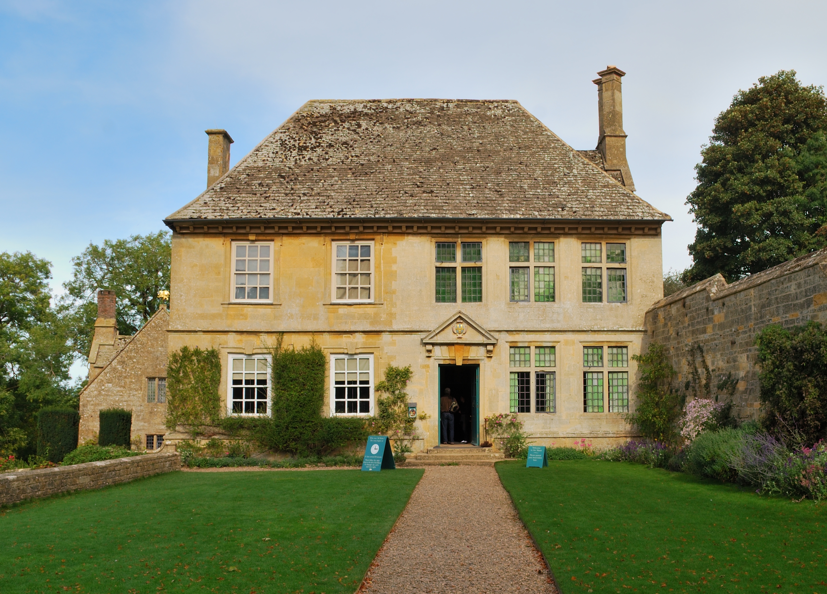
Snowshill Manor

Snowshill Manor is a National Trust property located in the village of Snowshill, Gloucestershire, United Kingdom. It is a sixteenth-century country house...

Related Videos

Broadway Tower #bucketlist #broadway #shorts #travel #cinematic #cotswolds

Broadway Tower - One of the best views over the Cotswolds.

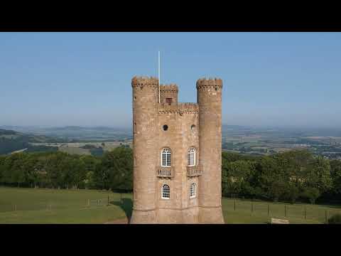
Broadway Tower - Cotswold Tours & Travel

Broadway Tower always offers our visitors a surprise due to it's unusual shape and breath-taking views and is well worth a stop for ...

Broadway Tower Loop - peaceful walking in the Cotswolds - ASMR

A two-hour walk to and from Broadway tower, from Broadway town. On the walk I heard and saw a lot of wildlife, from ...

Nearby Amenities

Located within 500m of 52.014353,-1.8148615
Power: pole
Lat/Long: 52.0148523/-1.8078364
Power: pole
Lat/Long: 52.0146559/-1.8087684
Power: pole
Lat/Long: 52.0144644/-1.8096529
Power: pole
Lat/Long: 52.0142758/-1.81054
Power: pole
Lat/Long: 52.0140917/-1.8114245
Power: pole
Lat/Long: 52.0139415/-1.8116739
Power: pole
Lat/Long: 52.0134182/-1.8125336
Power: pole
Lat/Long: 52.0127587/-1.8136226
Power: pole
Lat/Long: 52.0122254/-1.8142019
Power: pole
Lat/Long: 52.0116864/-1.8147786
Power: pole
Lat/Long: 52.0111482/-1.815374
Power: pole
Lat/Long: 52.010629/-1.8159521
Power: pole
Lat/Long: 52.010468/-1.8163008
The data included in this document is from www.openstreetmap.org. The data is made available under ODbL.

Have you been to Diamond Jubilee Wood?

Leave your review of Diamond Jubilee Wood below (or comments, questions and feedback).