Spring Wood

Wood, Forest in Yorkshire

England

Spring Wood

The top of Shipley Glen A view from Lode Pit Lane at the point whence a bridleway descends into the glen.
The top of Shipley Glen Credit: Stephen Craven

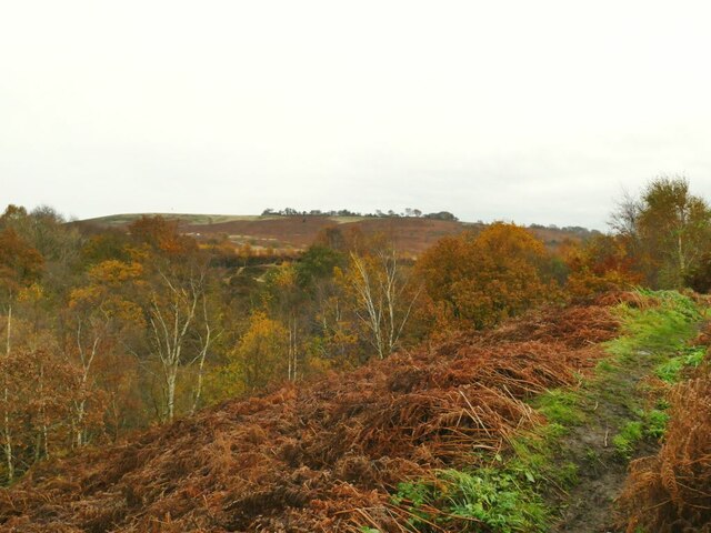
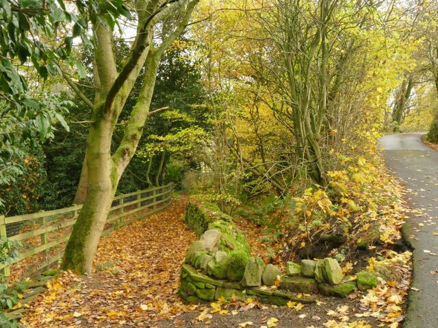
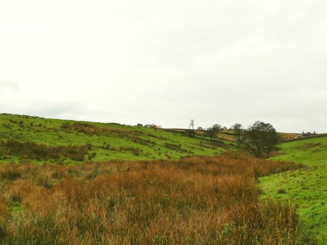
Spring Wood is a picturesque woodland located in Yorkshire, England. Situated near the village of Wood, the forest covers an area of approximately 50 acres and is renowned for its natural beauty and rich biodiversity. The wood is predominantly composed of deciduous trees, including oak, beech, and birch, which create a vibrant and colorful landscape throughout the seasons.

Spring Wood is particularly famous for its stunning display of bluebells during springtime. The forest floor transforms into a sea of vibrant blue as millions of these delicate flowers bloom, attracting visitors from far and wide. The scent of the bluebells fills the air, creating a captivating and enchanting atmosphere.

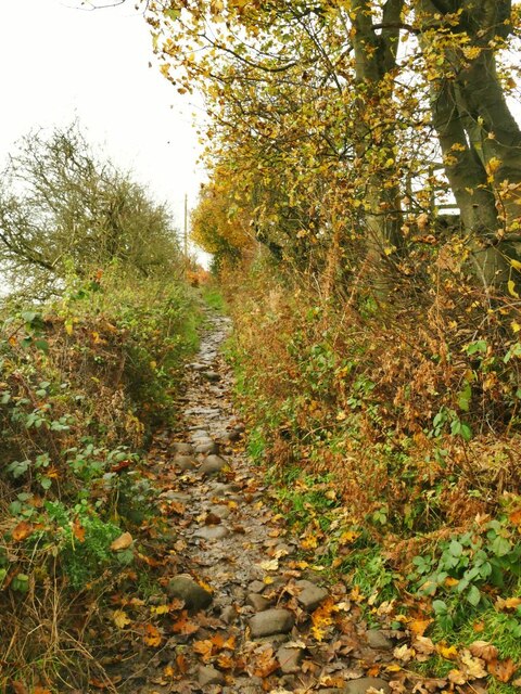
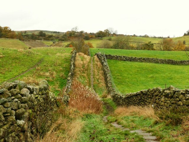
The woodland is crisscrossed by a network of well-maintained footpaths, allowing visitors to explore its diverse ecosystems and discover its hidden treasures. Along the trails, visitors may encounter a variety of wildlife, including deer, squirrels, and numerous bird species. The wood is also home to several rare and protected species, such as the lesser spotted woodpecker and the white admiral butterfly.

Aside from its natural beauty, Spring Wood offers recreational activities for all ages. There are picnic areas and benches scattered throughout the forest, providing a perfect spot for a family outing or a peaceful retreat. The wood is also a popular destination for hikers and nature enthusiasts, offering an opportunity to reconnect with nature and enjoy the serenity that the woodland has to offer.

Overall, Spring Wood is a captivating and tranquil woodland that showcases the beauty of Yorkshire's natural landscape. Its vibrant bluebells, diverse wildlife, and recreational opportunities make it a must-visit destination for nature lovers and those seeking a peaceful escape from the hustle and bustle of everyday life.

If you have any feedback on the listing, please let us know in the comments section below.
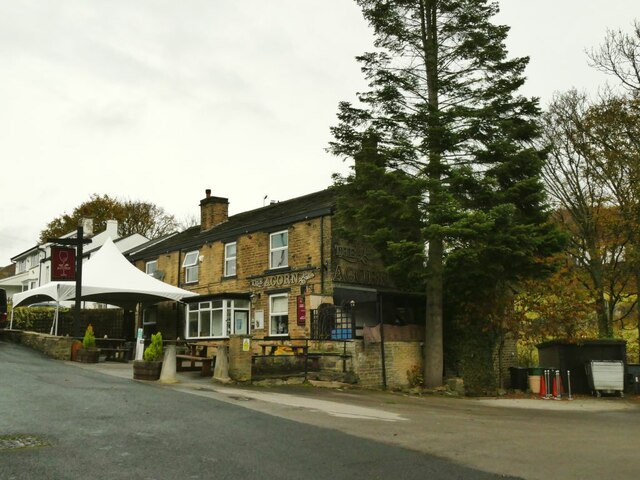
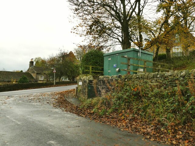
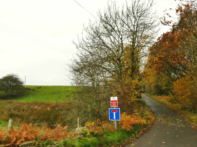
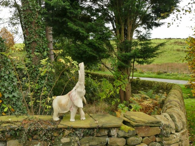
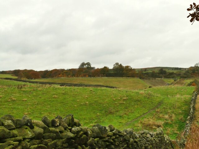
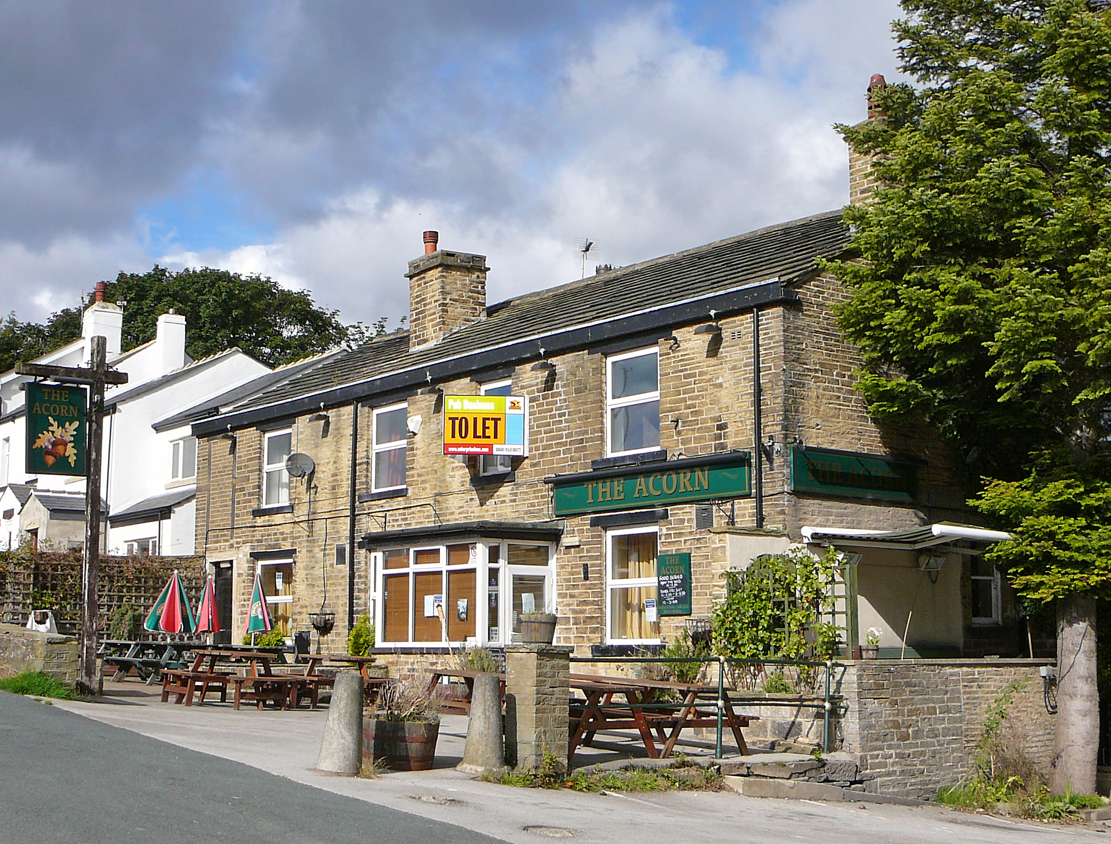
Spring Wood Images

Images are sourced within 2km of 53.858105/-1.8075626 or Grid Reference SE1240. Thanks to Geograph Open Source API. All images are credited.

The top of Shipley Glen A view from Lode Pit Lane at the point whence a bridleway descends into the glen.
The top of Shipley Glen
A view from Lode Pit Lane at the point whence a bridleway descends into the glen.
Willow Cottage, Saltaire Road, Eldwick Actually a large detached house rather than a cottage.  It appeared on a property website with an estimated value of £369,000. The name of the road is also misleading, because although you can get to Saltaire this way, it's only on foot. It is part of the Welcome Way.
Willow Cottage, Saltaire Road, Eldwick
Actually a large detached house rather than a cottage. It appeared on a property website with an estimated value of £369,000. The name of the road is also misleading, because although you can get to Saltaire this way, it's only on foot. It is part of the Welcome Way.
Culvert on the Loadpit Beck The culvert carries an access road leading to a former quarry that now contains a modern industrial building.
Culvert on the Loadpit Beck
The culvert carries an access road leading to a former quarry that now contains a modern industrial building.
Houses at Eldwick Beck In between the photographer location on Saltaire Road and the terrace of houses in the background was Eldwick Beck Mill (now demolished). I assume the houses were built for millworkers.
Houses at Eldwick Beck
In between the photographer location on Saltaire Road and the terrace of houses in the background was Eldwick Beck Mill (now demolished). I assume the houses were built for millworkers.
The north end of Saltaire Road The name of the road is misleading, because although you can get to Saltaire this way, it's only on foot. It is part of the Welcome Way. The modernist house on the right is called Xantara.
The north end of Saltaire Road
The name of the road is misleading, because although you can get to Saltaire this way, it's only on foot. It is part of the Welcome Way. The modernist house on the right is called Xantara.
Eldwick War Memorial Listed grade II (list entry 1447944) where we learn that the First World War memorial was unveiled on 2 December 1922, and was crafted by David Wildman from  local sandstone at a cost of approximately £150.
Eldwick War Memorial
Listed grade II (list entry 1447944) where we learn that the First World War memorial was unveiled on 2 December 1922, and was crafted by David Wildman from local sandstone at a cost of approximately £150.
Eldwick War Memorial names The plaques name thirteen casualties of the First World War and eight from the Second. See <a href="https://www.geograph.org.uk/photo/7026425">SE1240 : Eldwick War Memorial</a> for context.
Eldwick War Memorial names
The plaques name thirteen casualties of the First World War and eight from the Second. See SE1240 : Eldwick War Memorial for context.
Former Eldwick Beck Wesleyan Methodist chapel The chapel on Otley Road was built in 1888, closed c.2010 <a href="https://www.geograph.org.uk/photo/2716706">SE1240 : The old Wesleyan Methodist Chapel, Eldwick</a> and is now presumably in private ownership.
Former Eldwick Beck Wesleyan Methodist chapel
The chapel on Otley Road was built in 1888, closed c.2010 SE1240 : The old Wesleyan Methodist Chapel, Eldwick and is now presumably in private ownership.
The Green, Eldwick Beck The Green is a short side road with these houses on the corner, and a pub and a few more houses further along. Note the post box in the wall <a href="https://www.geograph.org.uk/photo/581516">SE1240 : Victorian Post Box - The Green, Eldwick</a>.
The Green, Eldwick Beck
The Green is a short side road with these houses on the corner, and a pub and a few more houses further along. Note the post box in the wall SE1240 : Victorian Post Box - The Green, Eldwick.
The Acorn at Eldwick Beck A Casque Mark pub. It was only 11am when I passed, too early for a pint.
The Acorn at Eldwick Beck
A Casque Mark pub. It was only 11am when I passed, too early for a pint.
Gas installation at Eldwick Beck
Footpath beyond The Green The public road becomes a public footpath at this point though it is still well surfaced as the access to a few properties.  It forms part of the Welcome way.
Footpath beyond The Green
The public road becomes a public footpath at this point though it is still well surfaced as the access to a few properties. It forms part of the Welcome way.
Elephant on a wall The animal figure (possibly carved from ivory?) stands on a wall alongside the drive to the Old Corn Mill.
Elephant on a wall
The animal figure (possibly carved from ivory?) stands on a wall alongside the drive to the Old Corn Mill.
Start of a bridleway A very short bridleway that runs for less than a hundred metres between two roads.
Start of a bridleway
A very short bridleway that runs for less than a hundred metres between two roads.
Marshy bottom below Tewitt Lane A public footpath crosses the marsh and up the far slope. Wellies recommended.
Marshy bottom below Tewitt Lane
A public footpath crosses the marsh and up the far slope. Wellies recommended.
Tewitt Lane A public footpath forming part of the Welcome Way.
Tewitt Lane
A public footpath forming part of the Welcome Way.
Stone causeway near Eldwick Reservoir  Labelled on the 1908 map as 'paved trackway' in the font denoting an antiquity, suggesting that it predates the nearby reservoir and mill. The track has public bridleway status. See also <a href="https://www.geograph.org.uk/photo/4403665">SE1241 : Rollercoaster lane</a>, and <a href="https://www.geograph.org.uk/photo/3386156">SE1240 : Bridleway to the Reservoir, Eldwick</a> for the same in winter conditions.
Stone causeway near Eldwick Reservoir
Labelled on the 1908 map as 'paved trackway' in the font denoting an antiquity, suggesting that it predates the nearby reservoir and mill. The track has public bridleway status. See also SE1241 : Rollercoaster lane, and SE1240 : Bridleway to the Reservoir, Eldwick for the same in winter conditions.
Dam of Eldwick Reservoir  Viewed from the causeway below the dam.
Dam of Eldwick Reservoir
Viewed from the causeway below the dam.
Show me another place!

Spring Wood is located at Grid Ref: SE1240 (Lat: 53.858105, Lng: -1.8075626)

Division: West Riding

Unitary Authority: Bradford

Police Authority: West Yorkshire

What 3 Words

///mows.fixed.marine. Near Baildon, West Yorkshire
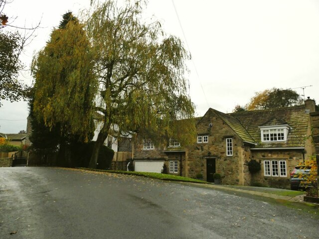
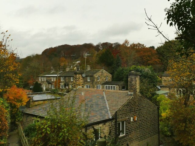
Related Wikis

Eldwick

Eldwick is a small village near Bingley in the City of Bradford district in West Yorkshire. It is split up into two main parts, Eldwick, the main populated...

Gilstead

Gilstead is a village within the City of Bradford Metropolitan District, West Yorkshire, England. It is situated at the edge of the moors, above the town...

Shipley (UK Parliament constituency)

Shipley is a constituency represented in the House of Commons of the UK Parliament since 2005 by Philip Davies, a Conservative. == Boundaries == 1885...

Bracken Hall Countryside Centre and Museum

Bracken Hall Countryside Centre and Museum is a children's museum, natural history education centre and nature centre established in 1989 at Bracken Hall...

Related Videos

Our first time on all three Moors #yorkshire #dronevideo #hiking #walking

Welcome back to another video. We took the drone on a wander along Hawksworth Moor, Bingley Moor and Burley Moor.

Beautiful Baildon Moor by Drone #dronevideo #hiking #walking #adventure

Welcome back to another video. Thanks for stopping by. We are back out with the drone to explore Baildon Moor. A fantastic and ...

Scribblers Cottage Vacation Rental

Scribblers Cottage Vacation Rental Saltaire, Shipley, West Yorkshire.

Nearby Amenities

Located within 500m of 53.858105,-1.8075626
Source: landsat
Lat/Long: 53.8545079/-1.8061135
Source: landsat
Lat/Long: 53.8562683/-1.8054822
Source: landsat
Lat/Long: 53.8573883/-1.8069791
Source: landsat
Lat/Long: 53.8588798/-1.8083958
Source: landsat
Lat/Long: 53.8566531/-1.8052795
Source: landsat
Lat/Long: 53.8565737/-1.8050885
Source: landsat
Lat/Long: 53.8548972/-1.804449
Source: landsat
Lat/Long: 53.8538815/-1.8051952
Source: landsat
Lat/Long: 53.8571925/-1.8055183
Source: landsat
Lat/Long: 53.8577055/-1.8047629
Source: landsat
Lat/Long: 53.8572633/-1.8045903
Source: landsat
Lat/Long: 53.8573412/-1.8037092
Source: landsat
Lat/Long: 53.8573828/-1.8040764
Bus Stop
Otley Road Lyndale Road
Bus: yes
Local Ref: 45021132
Naptan AtcoCode: 450021132
Naptan Bearing: NE
Naptan CommonName: Otley Road Lyndale Road
Naptan Crossing: Lyndale Road
Naptan Indicator: Stop 45021132
Naptan Landmark: Eldwick First School
Naptan PlusbusZoneRef: LEEDS
Naptan ShortCommonName: Lyndale Road
Naptan Street: Otley Road
Naptan Verified: no
Public Transport: platform
Source: naptan_import
Lat/Long: 53.8602738/-1.8122213
Bus Stop
Otley Road Lyndale Road
Bus: yes
Local Ref: 45021133
Naptan AtcoCode: 450021133
Naptan Bearing: SW
Naptan CommonName: Otley Road Lyndale Road
Naptan Crossing: Lyndale Road
Naptan Indicator: Stop 45021133
Naptan Landmark: Eldwick First School
Naptan PlusbusZoneRef: LEEDS
Naptan ShortCommonName: Lyndale Road
Naptan Street: Otley Road
Naptan Verified: no
Public Transport: platform
Source: naptan_import
Lat/Long: 53.8602552/-1.8117804
Bus Stop
Otley Road Spring Lane
Local Ref: 45021135
Naptan AtcoCode: 450021135
Naptan Bearing: NE
Naptan CommonName: Otley Road Spring Lane
Naptan Crossing: Spring Lane
Naptan Indicator: Stop 45021135
Naptan PlusbusZoneRef: LEEDS
Naptan ShortCommonName: Spring Lane
Naptan Street: Otley Road
Naptan Verified: no
Source: naptan_import
Lat/Long: 53.8616634/-1.8099647
Bus Stop
Otley Road Spring Lane
Local Ref: 45021136
Naptan AtcoCode: 450021136
Naptan Bearing: SW
Naptan CommonName: Otley Road Spring Lane
Naptan Crossing: Spring Lane
Naptan Indicator: Stop 45021136
Naptan PlusbusZoneRef: LEEDS
Naptan ShortCommonName: Spring Lane
Naptan Street: Otley Road
Naptan Verified: no
Source: naptan_import
Lat/Long: 53.8616005/-1.809965
methodist
Closed Amenity: place_of_worship
Note: converted into flats
Lat/Long: 53.8609375/-1.8115049
Eldwick
Is In Country Code: GB
Is In County: West Yorkshire
Is In Historic County: Yorkshire
Is In Valley: Airedale
Place: hamlet
Wikidata: Q5354194
Lat/Long: 53.858093/-1.8117639
Bloomery
Historic: archaeological_site
Source: OS 1:25k
Lat/Long: 53.8574003/-1.8067396
Eldwick Village Hall
Defibrillator
Access: locked
Addr City: Bingley
Addr Postcode: BD16 3EQ
Addr Street: Otley Road
Addr Village: Eldwick
Alt Name: Eldwick CPAD
Defibrillator Location: In porch of Birches pub, Otley Road, Eldwick
Emergency: defibrillator
Emergency Telephone Code: 999
Indoor: no
Source: survey
Lat/Long: 53.8597892/-1.8145502
Eldwick War memorial
Heritage: 2
Heritage Operator: Historic England
Listed Status: Grade II
Material: stone
Memorial: war_memorial
Wikidata: Q66478860
Lat/Long: 53.8606822/-1.8108083
Post Box
Operator: Royal Mail
Post Box Type: wall
Ref: BD16 618D
Royal Cypher: VR
Royal Cypher Wikidata: Q33102356
Source: survey
Lat/Long: 53.8614845/-1.8105152
Source: landsat
Lat/Long: 53.8580016/-1.8017043
Source: landsat
Lat/Long: 53.8562114/-1.8043365
Source: landsat
Lat/Long: 53.8566156/-1.8050253
Source: landsat
Lat/Long: 53.856945/-1.8031515
Source: landsat
Lat/Long: 53.8571758/-1.8045426
Source: landsat
Lat/Long: 53.8573281/-1.8041002
Barrier: stile
Source: bing
Lat/Long: 53.858759/-1.8064879
The data included in this document is from www.openstreetmap.org. The data is made available under ODbL.

Have you been to Spring Wood?

Leave your review of Spring Wood below (or comments, questions and feedback).