North Wood

Wood, Forest in Northumberland

England

North Wood

Old Milepost by the A1, Adderstone with Lucker parish Cast iron post by the A1, in parish of ADDERSTONE WITH LUCKER (BERWICK UPON TWEED District), 100m South of junction with the B6348, 30m south of layby after NSL sign., on grass verge against wall, on East side of road. AB bevel iron casting, erected by the Cow-causey & Buckton-Burn turnpike trust in the 19th century. 

Inscription reads:-
: A / 12 : : B / 2 :
(To Alnwick and Belford) 

Grade II Listed. List Entry Number: 1042259 
<span class="nowrap"><a title="https://historicengland.org.uk/listing/the-list/list-entry/1042259" rel="nofollow ugc noopener" href="https://historicengland.org.uk/listing/the-list/list-entry/1042259">Link</a><img style="margin-left:2px;" alt="External link" title="External link - shift click to open in new window" src="https://s1.geograph.org.uk/img/external.png" width="10" height="10"/></span>

Milestone Society National ID: NB_ANBF12.
Old Milepost by the A1, Adderstone with Lucker parish Credit: Hilary Jones

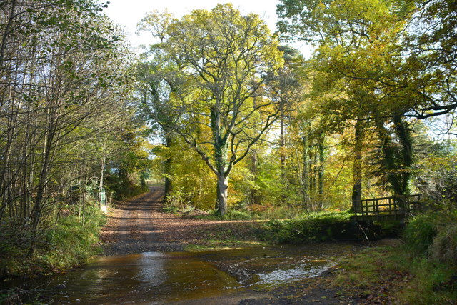
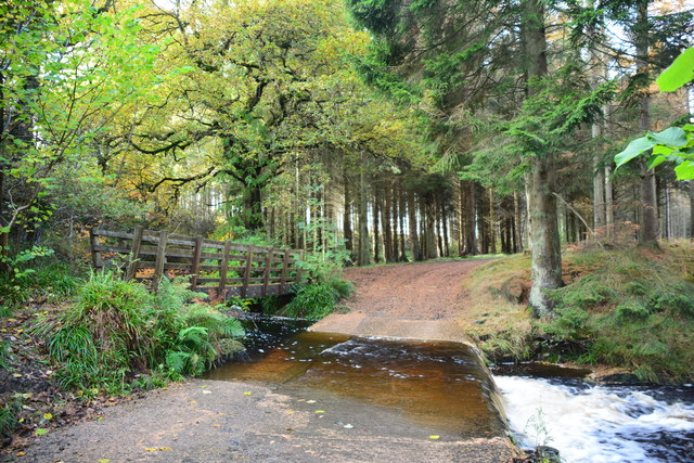
North Wood, located in Northumberland, England, is a picturesque forest that covers an area of approximately 500 hectares. Known for its stunning natural beauty and diverse ecosystem, the woodland attracts both nature enthusiasts and curious visitors from near and far.

The forest is home to a wide variety of flora and fauna, including ancient oak trees, vibrant wildflowers, and an array of bird species such as woodpeckers, jays, and owls. The dense canopy creates a tranquil and peaceful atmosphere, making it an ideal spot for nature walks, birdwatching, and photography.

North Wood boasts an extensive network of well-maintained trails, allowing visitors to explore its enchanting surroundings at their own pace. These trails provide opportunities for hikers and cyclists to delve deeper into the forest, uncovering hidden gems along the way, such as hidden streams, rustic bridges, and secluded picnic spots.

Additionally, North Wood offers a range of recreational activities for outdoor enthusiasts. The forest features designated camping areas, enabling visitors to experience the magic of sleeping under the stars amidst the rustling leaves. For those seeking more adventurous pursuits, there are opportunities for mountain biking and horseback riding on designated trails.

To ensure the preservation of its natural wonders, North Wood is carefully managed by local authorities and conservation organizations. Regular maintenance work, including tree planting and controlled burning, is carried out to maintain the health and biodiversity of the forest.

Overall, North Wood is a haven for nature lovers, providing a serene escape from the hustle and bustle of everyday life. Its majestic beauty and abundant wildlife make it a must-visit destination for anyone seeking a tranquil and immersive experience in the heart of Northumberland.

If you have any feedback on the listing, please let us know in the comments section below.
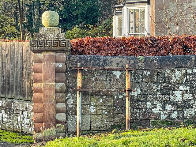
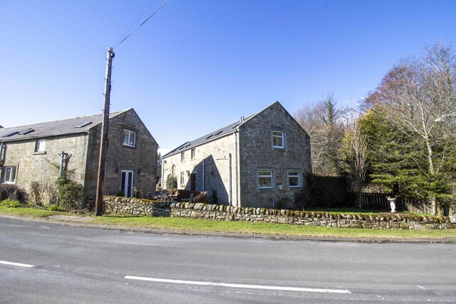
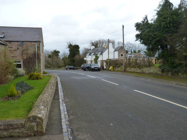
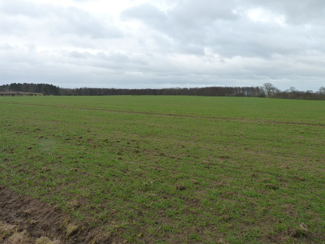
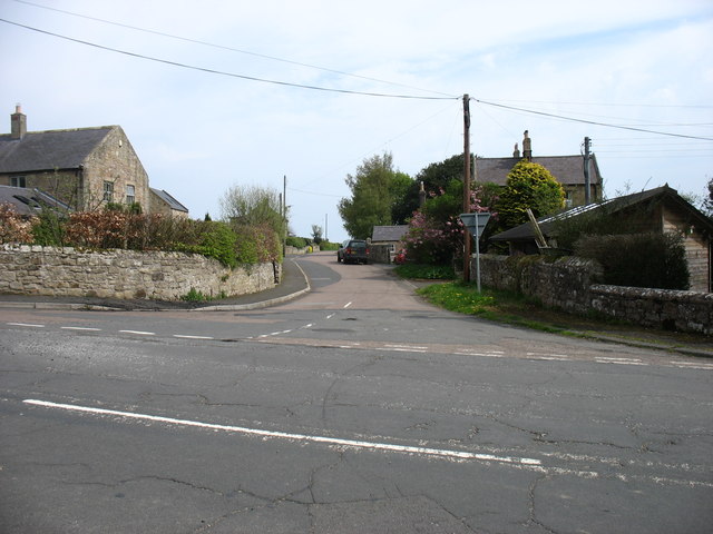
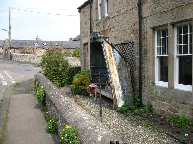
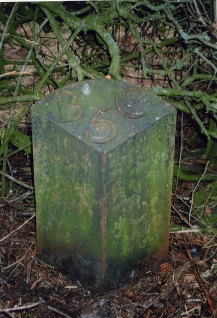
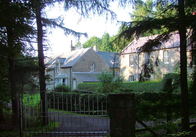
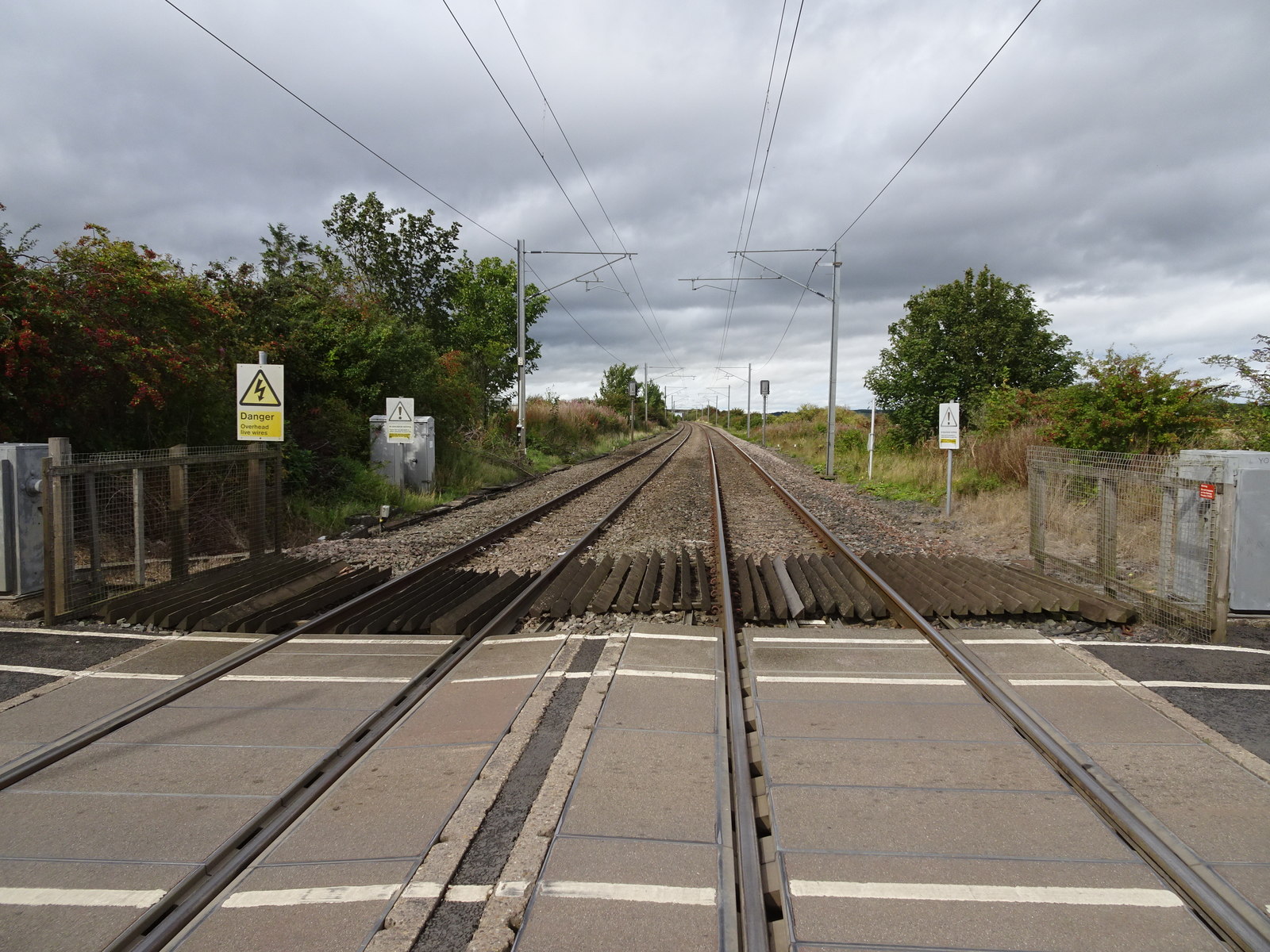
North Wood Images

Images are sourced within 2km of 55.55733/-1.8028443 or Grid Reference NU1229. Thanks to Geograph Open Source API. All images are credited.

Old Milepost by the A1, Adderstone with Lucker parish Cast iron post by the A1, in parish of ADDERSTONE WITH LUCKER (BERWICK UPON TWEED District), 100m South of junction with the B6348, 30m south of layby after NSL sign., on grass verge against wall, on East side of road. AB bevel iron casting, erected by the Cow-causey & Buckton-Burn turnpike trust in the 19th century. 

Inscription reads:-
: A / 12 : : B / 2 :
(To Alnwick and Belford) 

Grade II Listed. List Entry Number: 1042259 
<span class="nowrap"><a title="https://historicengland.org.uk/listing/the-list/list-entry/1042259" rel="nofollow ugc noopener" href="https://historicengland.org.uk/listing/the-list/list-entry/1042259">Link</a><img style="margin-left:2px;" alt="External link" title="External link - shift click to open in new window" src="https://s1.geograph.org.uk/img/external.png" width="10" height="10"/></span>

Milestone Society National ID: NB_ANBF12.
Old Milepost by the A1, Adderstone with Lucker parish
Cast iron post by the A1, in parish of ADDERSTONE WITH LUCKER (BERWICK UPON TWEED District), 100m South of junction with the B6348, 30m south of layby after NSL sign., on grass verge against wall, on East side of road. AB bevel iron casting, erected by the Cow-causey & Buckton-Burn turnpike trust in the 19th century. Inscription reads:- : A / 12 : : B / 2 : (To Alnwick and Belford) Grade II Listed. List Entry Number: 1042259 LinkExternal link Milestone Society National ID: NB_ANBF12.
Old Milepost by the A1, north of Warenford Cast iron post by the A1, in parish of ADDERSTONE WITH LUCKER (BERWICK UPON TWEED District), Warenford; 100m Southeast of Twizell North Lodge, on grass verge, on East side of road. AB bevel iron casting, erected by the Cow-causey & Buckton-Burn turnpike trust in the 19th century. 

Inscription reads:-
: A / 11 : : B / 3½ :
(To Alnwick and Belford) 

Grade II listed. 
List Entry Number: 1206309 <span class="nowrap"><a title="https://historicengland.org.uk/listing/the-list/list-entry/1206309" rel="nofollow ugc noopener" href="https://historicengland.org.uk/listing/the-list/list-entry/1206309">Link</a><img style="margin-left:2px;" alt="External link" title="External link - shift click to open in new window" src="https://s1.geograph.org.uk/img/external.png" width="10" height="10"/></span>

Milestone Society National ID: NB_ANBF11
Old Milepost by the A1, north of Warenford
Cast iron post by the A1, in parish of ADDERSTONE WITH LUCKER (BERWICK UPON TWEED District), Warenford; 100m Southeast of Twizell North Lodge, on grass verge, on East side of road. AB bevel iron casting, erected by the Cow-causey & Buckton-Burn turnpike trust in the 19th century. Inscription reads:- : A / 11 : : B / 3½ : (To Alnwick and Belford) Grade II listed. List Entry Number: 1206309 LinkExternal link Milestone Society National ID: NB_ANBF11
Old Milepost north east of Warenford Cast iron post by the UC road, in parish of ADDERSTONE WITH LUCKER (BERWICK UPON TWEED District), Warenford, in hedge, on North side of road. Patterson iron post, erected by an unknown authority in the 19th century. 

Inscription reads:-
B 5 C
(To Bamburgh Castle)

Milestone Society National ID: NB_BCWF05.
Old Milepost north east of Warenford
Cast iron post by the UC road, in parish of ADDERSTONE WITH LUCKER (BERWICK UPON TWEED District), Warenford, in hedge, on North side of road. Patterson iron post, erected by an unknown authority in the 19th century. Inscription reads:- B 5 C (To Bamburgh Castle) Milestone Society National ID: NB_BCWF05.
Minor Road to Twizell North Lodge Minor road meeting the A1 just to the south of Adderstone Holiday Park.

The lodge, Twizell North Lodge, dates from the mid/late nineteenth century. It is a grade II listed building (List Entry Number:1206319 <span class="nowrap"><a title="https://historicengland.org.uk/listing/the-list/list-entry/1206319" rel="nofollow ugc noopener" href="https://historicengland.org.uk/listing/the-list/list-entry/1206319">Link</a><img style="margin-left:2px;" alt="External link" title="External link - shift click to open in new window" src="https://s1.geograph.org.uk/img/external.png" width="10" height="10"/></span> Historic England).
Minor Road to Twizell North Lodge
Minor road meeting the A1 just to the south of Adderstone Holiday Park. The lodge, Twizell North Lodge, dates from the mid/late nineteenth century. It is a grade II listed building (List Entry Number:1206319 LinkExternal link Historic England).
South Lodge 19th Century lodge to Twizell House (demolished 1969) on the former Great North Road in Warenford.
South Lodge
19th Century lodge to Twizell House (demolished 1969) on the former Great North Road in Warenford.
Missing sign This frame, on the former Great North Road through Warenford, now bypassed, previously supported a pre Worboys sign dating from when this was still the main road - see <a href="https://www.geograph.org.uk/photo/3488078">NU1328 : Old road sign in Warenford</a>.  For a wider view, see <a href="https://www.geograph.org.uk/photo/7357596">NU1328 : South Lodge</a>.
Missing sign
This frame, on the former Great North Road through Warenford, now bypassed, previously supported a pre Worboys sign dating from when this was still the main road - see NU1328 : Old road sign in Warenford. For a wider view, see NU1328 : South Lodge.
Converted vernacular farm buildings at South Farm
Cattle beside the B6348 Strange weather - dark high cloud, obviously raining but only a few drops making it to the ground. Hot and humid.
Cattle beside the B6348
Strange weather - dark high cloud, obviously raining but only a few drops making it to the ground. Hot and humid.
Twizell Ford This ford is found on Mill Dean at Twizell. It was nice to meet Alfie Tait. I have really enjoyed his Geograph images of Twizell:
<a title="www.geograph.org.uk/photo/2140648" href="https://www.geograph.org.uk/photo/2140648">Link</a>
A video of the ford can be seen at:
<span class="nowrap"><a title="https://youtu.be/ImQd8zRqpQ8" rel="nofollow ugc noopener" href="https://youtu.be/ImQd8zRqpQ8">Link</a><img style="margin-left:2px;" alt="External link" title="External link - shift click to open in new window" src="https://s1.geograph.org.uk/img/external.png" width="10" height="10"/></span>
Twizell Ford
This ford is found on Mill Dean at Twizell. It was nice to meet Alfie Tait. I have really enjoyed his Geograph images of Twizell: Link A video of the ford can be seen at: LinkExternal link
Ford at Twizell This is the second of the two Twizell fords. A video of the ford can be seen at:
<span class="nowrap"><a title="https://youtu.be/FFOU4z7Cg5w" rel="nofollow ugc noopener" href="https://youtu.be/FFOU4z7Cg5w">Link</a><img style="margin-left:2px;" alt="External link" title="External link - shift click to open in new window" src="https://s1.geograph.org.uk/img/external.png" width="10" height="10"/></span>
Ford at Twizell
This is the second of the two Twizell fords. A video of the ford can be seen at: LinkExternal link
The White Swan A pub/restaurant in Warenford.
The White Swan
A pub/restaurant in Warenford.
Fresh green coming through Grass on recently ploughed field near Warenford.
Fresh green coming through
Grass on recently ploughed field near Warenford.
Minor road from Warenford to Lucker The road in the foreground was the A1 Great North Road until Warenford was bypassed in 1978.
Minor road from Warenford to Lucker
The road in the foreground was the A1 Great North Road until Warenford was bypassed in 1978.
"The Amble" at Warenford Part of an old boat being put to good use.
"The Amble" at Warenford
Part of an old boat being put to good use.
Old Milepost north east of Warenford Cast iron post by the UC road, in parish of ADDERSTONE WITH LUCKER (BERWICK UPON TWEED District), Warenford, in hedge, on North side of road. Patterson iron post, erected by an unknown authority in the 19th century. 

Inscription reads:-
B 5 C
(To Bamburgh Castle)

Milestone Society National ID: NB_BCWF05.
Old Milepost north east of Warenford
Cast iron post by the UC road, in parish of ADDERSTONE WITH LUCKER (BERWICK UPON TWEED District), Warenford, in hedge, on North side of road. Patterson iron post, erected by an unknown authority in the 19th century. Inscription reads:- B 5 C (To Bamburgh Castle) Milestone Society National ID: NB_BCWF05.
Old Milepost by the A1, north of Warenford Cast iron post by the A1, in parish of ADDERSTONE WITH LUCKER (BERWICK UPON TWEED District), Warenford; 100m Southeast of Twizell North Lodge, on grass verge, on East side of road. AB bevel iron casting, erected by the Cow-causey & Buckton-Burn turnpike trust in the 19th century. 

Inscription reads:-
: A / 11 : : B / 3½ :
(To Alnwick and Belford) 

Grade II listed.  
List Entry Number: 1206309 <span class="nowrap"><a title="https://historicengland.org.uk/listing/the-list/list-entry/1206309" rel="nofollow ugc noopener" href="https://historicengland.org.uk/listing/the-list/list-entry/1206309">Link</a><img style="margin-left:2px;" alt="External link" title="External link - shift click to open in new window" src="https://s1.geograph.org.uk/img/external.png" width="10" height="10"/></span>

Milestone Society National ID: NB_ANBF11
Old Milepost by the A1, north of Warenford
Cast iron post by the A1, in parish of ADDERSTONE WITH LUCKER (BERWICK UPON TWEED District), Warenford; 100m Southeast of Twizell North Lodge, on grass verge, on East side of road. AB bevel iron casting, erected by the Cow-causey & Buckton-Burn turnpike trust in the 19th century. Inscription reads:- : A / 11 : : B / 3½ : (To Alnwick and Belford) Grade II listed. List Entry Number: 1206309 LinkExternal link Milestone Society National ID: NB_ANBF11
Belford : B6348 Looking along the B6348 through Belford.
Belford : B6348
Looking along the B6348 through Belford.
Belford : Grassy Field A grassy field in the countryside.
Belford : Grassy Field
A grassy field in the countryside.
Show me another place!

North Wood is located at Grid Ref: NU1229 (Lat: 55.55733, Lng: -1.8028443)

Unitary Authority: Northumberland

Police Authority: Northumbria

What 3 Words

///waffle.prettiest.vocals. Near Belford, Northumberland

Related Wikis

Nearby Amenities

Located within 500m of 55.55733,-1.8028443
North Wood
Place: locality
Lat/Long: 55.5574925/-1.803588
The data included in this document is from www.openstreetmap.org. The data is made available under ODbL.

Have you been to North Wood?

Leave your review of North Wood below (or comments, questions and feedback).