Broadfield Covert
Wood, Forest in Gloucestershire Cotswold
England
Broadfield Covert

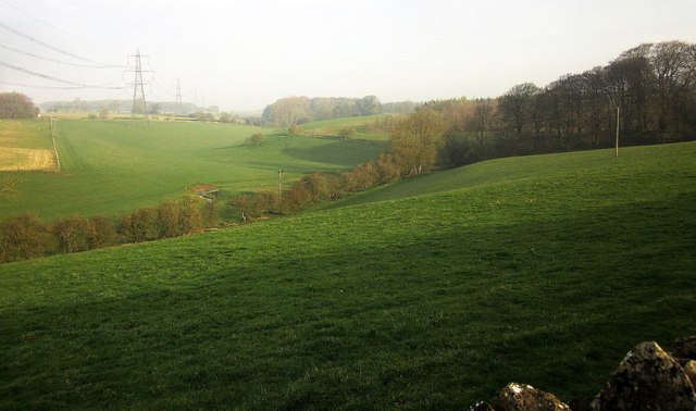
Broadfield Covert is a picturesque woodland area located in Gloucestershire, England. Situated in the heart of the Forest of Dean, this enchanting woodland covers an area of approximately 500 acres, making it a popular destination for nature enthusiasts and outdoor enthusiasts alike.
The woodland is predominantly composed of a diverse range of trees, including oak, beech, and birch, which provide a rich habitat for a variety of wildlife. Visitors to Broadfield Covert can expect to encounter a plethora of bird species, such as woodpeckers, thrushes, and owls, as well as mammals like deer, squirrels, and foxes.
Traversing through the woodland, visitors will discover a network of well-maintained footpaths, allowing for leisurely strolls and peaceful hikes. These paths meander through the dense undergrowth, revealing hidden glades and babbling brooks, adding to the beauty and tranquility of the area.
Broadfield Covert also boasts a number of natural features, including a charming pond teeming with aquatic life, and a small stream that winds its way through the woodland. These features provide excellent opportunities for wildlife observation and photography.
For those seeking a more active experience, the woodland offers various recreational activities, including orienteering, mountain biking, and horse riding. The diverse terrain and dense vegetation provide a challenging yet enjoyable experience for outdoor enthusiasts of all skill levels.
Overall, Broadfield Covert is a captivating woodland that offers a serene escape from the hustle and bustle of everyday life. Its natural beauty, abundant wildlife, and range of activities make it a true gem within the Forest of Dean.
If you have any feedback on the listing, please let us know in the comments section below.
Broadfield Covert Images
Images are sourced within 2km of 51.805207/-1.8202868 or Grid Reference SP1211. Thanks to Geograph Open Source API. All images are credited.


Broadfield Covert is located at Grid Ref: SP1211 (Lat: 51.805207, Lng: -1.8202868)
Administrative County: Gloucestershire
District: Cotswold
Police Authority: Gloucestershire
What 3 Words
///upon.stood.scatters. Near Northleach, Gloucestershire
Nearby Locations
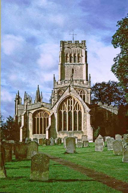
Related Wikis

Eastington, Cotswold
Eastington is a hamlet and former civil parish, now in the parish of Northleach with Eastington, in the Cotswold district, in the English county of Gloucestershire...
Northleach with Eastington
Northleach with Eastington is a civil parish in the English county of Gloucestershire that includes the town of Northleach and the hamlet of Eastington...

Lodge Park and Sherborne Estate
Lodge Park was built as a grandstand in the Sherborne Estate near the villages of Sherborne, Aldsworth and Northleach in Gloucestershire, England. The...

Coln St. Dennis
Coln St. Dennis is a village and civil parish on the River Coln in Gloucestershire about 3 miles (4.8 km) southwest of Northleach and about 7 miles (11...

RAF Bibury
Royal Air Force Bibury or more simply RAF Bibury is a former Royal Air Force satellite station located north east of Cirencester, Gloucestershire, England...
Northleach
Northleach is a market town and former civil parish, now in parish Northleach with Eastington, in the Cotswold district, in Gloucestershire, England. The...
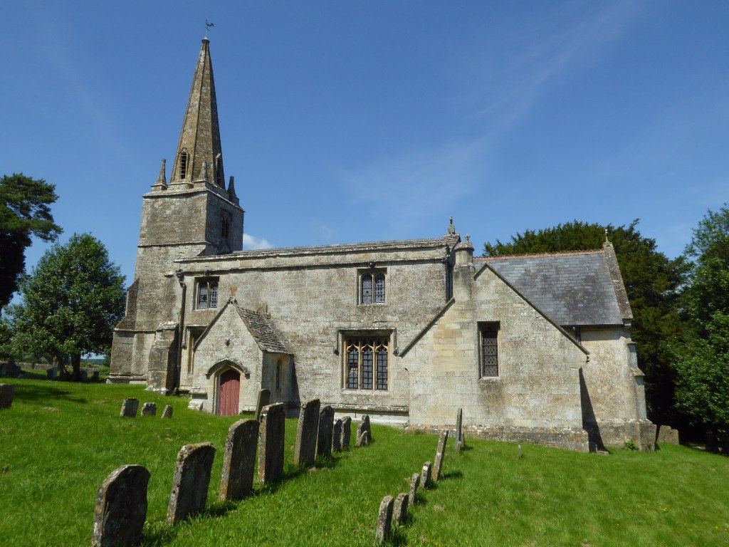
Church of St Bartholomew, Aldsworth
The Anglican Church of St Bartholomew at Aldsworth in the Cotswold District of Gloucestershire, England was built in the late 12th century. It is a grade...
Farmington, Gloucestershire
Farmington is a village located in the county of Gloucestershire, in England. As of 2011 the village had 112 residents. It is mentioned in the Domesday...
Nearby Amenities
Located within 500m of 51.805207,-1.8202868Have you been to Broadfield Covert?
Leave your review of Broadfield Covert below (or comments, questions and feedback).