Broomshiels Fox Covert
Wood, Forest in Durham
England
Broomshiels Fox Covert
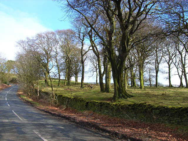
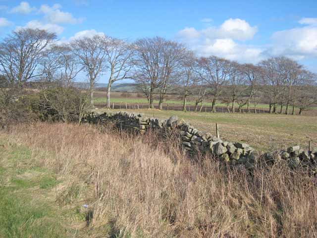
Broomshiels Fox Covert is a wooded area located in Durham, England. It is situated in the broader vicinity of Broomshiels, a small hamlet in the northern part of the county. The covert is known for its dense forest, which is primarily composed of deciduous trees such as oak, beech, and birch.
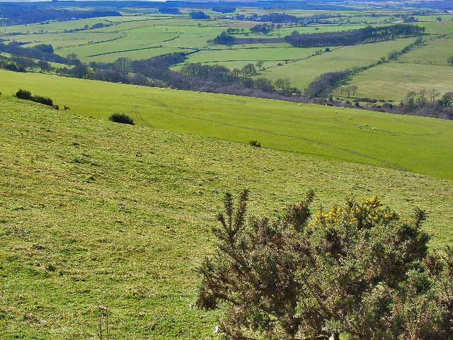
Covering an approximate area of several hectares, Broomshiels Fox Covert offers visitors a tranquil and picturesque environment. The woodland is characterized by a rich and diverse ecosystem, providing a habitat for various species of flora and fauna. The forest floor is often covered in a blanket of bluebells during springtime, creating a stunning display of vibrant colors.
The covert is a popular destination for nature enthusiasts, walkers, and birdwatchers alike. It offers a network of well-maintained pathways that wind through the forest, allowing visitors to explore the area at their own pace. The peaceful atmosphere and the abundance of wildlife make it an ideal spot for those seeking a quiet retreat from the hustle and bustle of everyday life.
The woodland is also home to a range of bird species, including woodpeckers, owls, and various songbirds. Birdwatchers can often spot these feathered creatures perched on branches or hear their melodic calls echoing through the trees.
Overall, Broomshiels Fox Covert in Durham is a beautiful and serene woodland that provides a natural haven for both flora and fauna. Its tranquil ambiance and diverse ecosystem make it a must-visit destination for nature lovers and those seeking a peaceful escape.
If you have any feedback on the listing, please let us know in the comments section below.
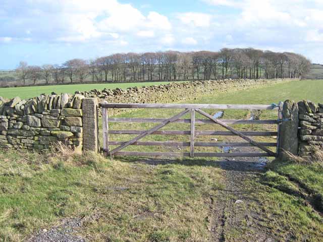
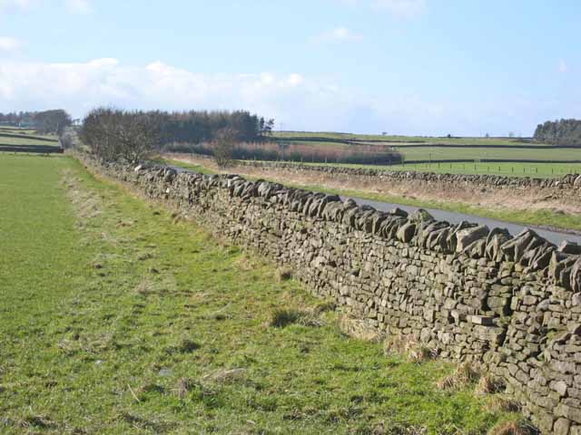
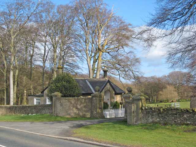
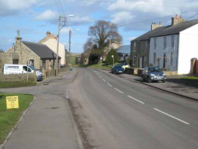
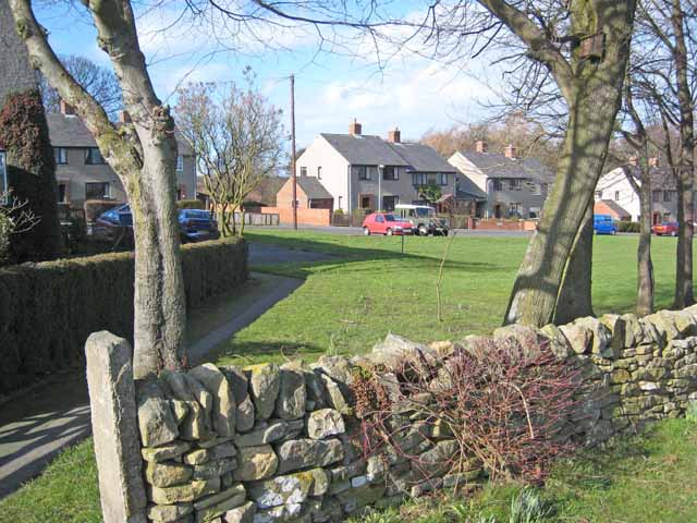
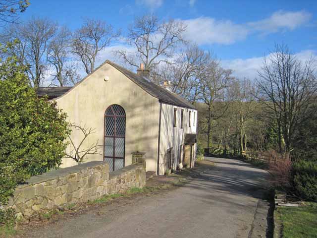
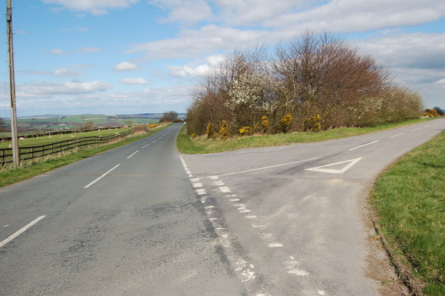
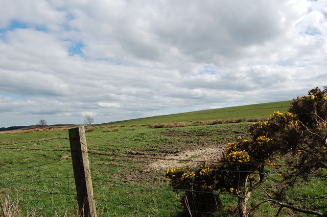
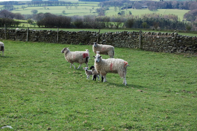
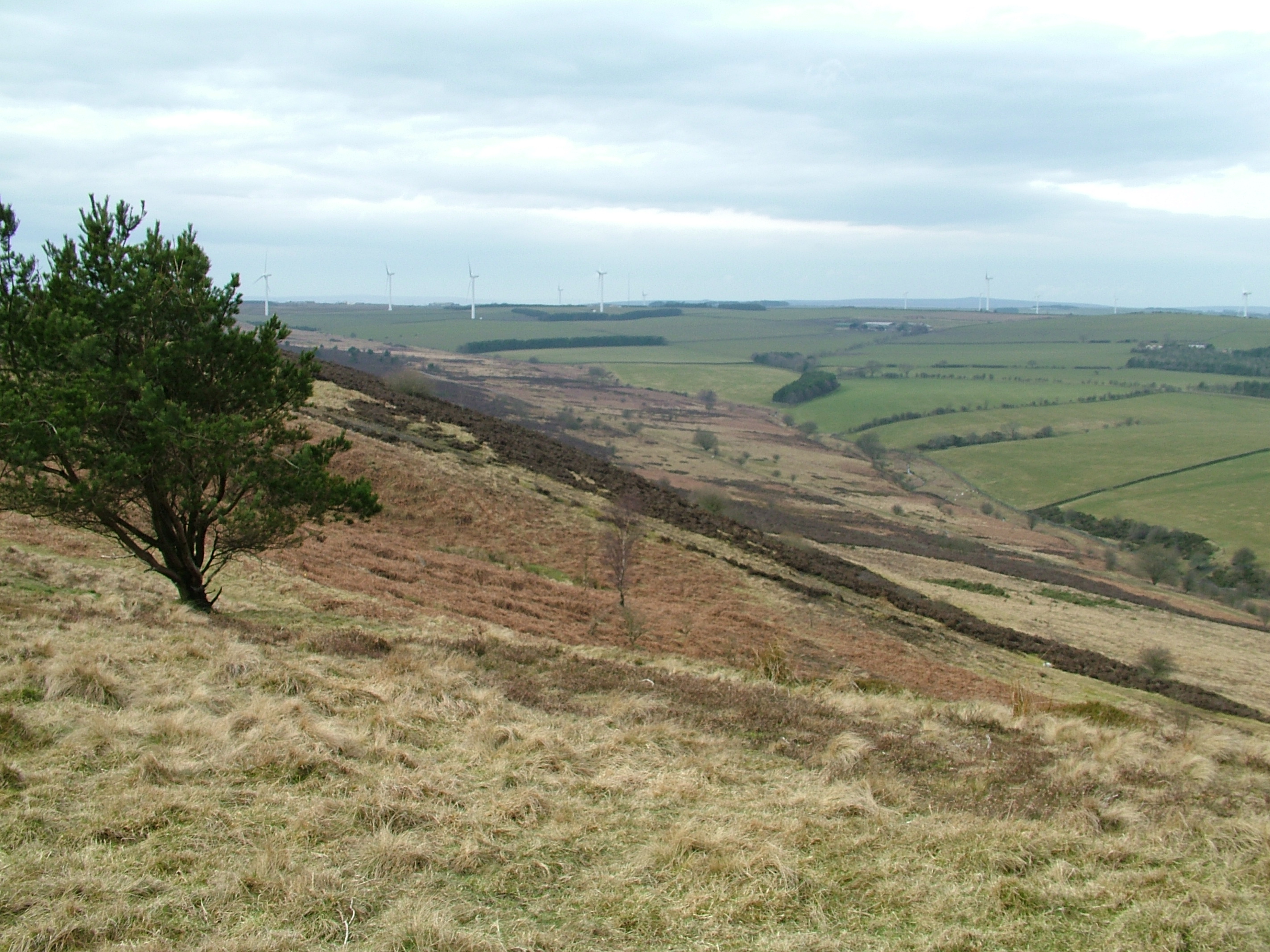
Broomshiels Fox Covert Images
Images are sourced within 2km of 54.770354/-1.8098549 or Grid Reference NZ1241. Thanks to Geograph Open Source API. All images are credited.

Broomshiels Fox Covert is located at Grid Ref: NZ1241 (Lat: 54.770354, Lng: -1.8098549)
Unitary Authority: County Durham
Police Authority: Durham
What 3 Words
///important.vibrate.totals. Near Tow Law, Co. Durham
Nearby Locations
Related Wikis

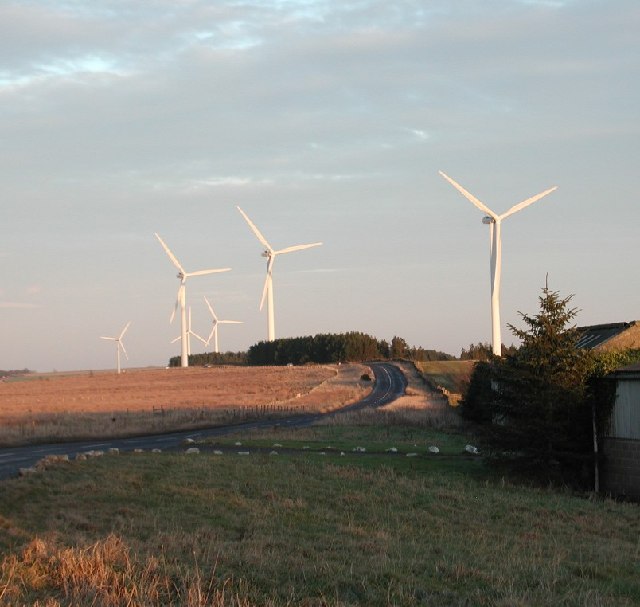
West Durham Wind Farm
West Durham Wind Farm is a wind farm near Tow Law, County Durham, England. == History == Developed by County Durham-based company the Banks Group, the...

Satley
Satley is a village and civil parish in County Durham, England, with a population of 292 in 2001, falling to 282 at the 2011 Census. It is situated six...

Inkerman, County Durham
Inkerman was a village in County Durham, England. Built in 1854–1855 a short distance to the north-west of Tow Law to house ironstone miners, it was named...
Hedleyhope Fell
Hedleyhope Fell is a nature reserve to the north-east of Tow Law, County Durham, England. The reserve is managed by Durham Wildlife Trust and consists...
Nearby Amenities
Located within 500m of 54.770354,-1.8098549Have you been to Broomshiels Fox Covert?
Leave your review of Broomshiels Fox Covert below (or comments, questions and feedback).