Airigh Bheagaig
Settlement in Argyllshire
Scotland
Airigh Bheagaig

Airigh Bheagaig is a small settlement located in Argyllshire, a historic county in western Scotland. Nestled amidst the stunning natural beauty of the Scottish Highlands, Airigh Bheagaig offers a serene and picturesque setting for visitors and residents alike.
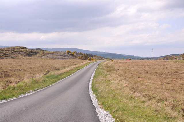
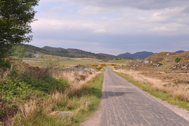
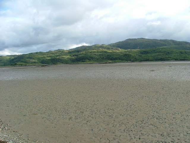
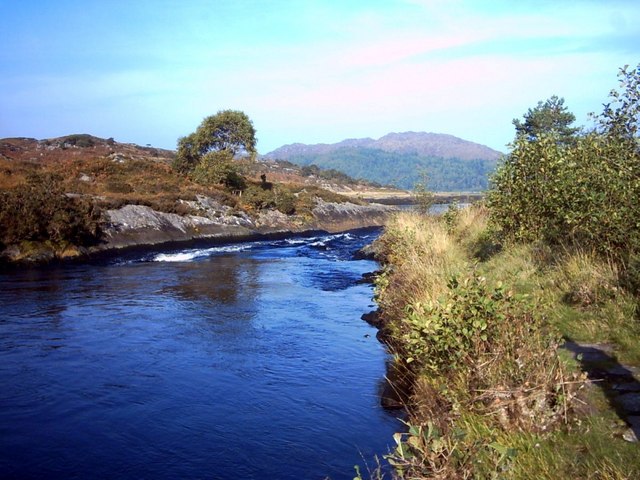
Situated on the eastern shore of Loch Fyne, Airigh Bheagaig benefits from breathtaking views of the tranquil waters and surrounding mountains. The village is surrounded by lush greenery, with rolling hills and dense forests, making it an ideal destination for nature enthusiasts and outdoor adventurers.
Despite its small size, Airigh Bheagaig is known for its welcoming and tight-knit community. The locals are known for their warm hospitality and are always eager to share their rich cultural heritage with visitors. The village has a strong connection to its Gaelic roots, and traditional music and dance are often celebrated and enjoyed during community gatherings.
The economy of Airigh Bheagaig relies mainly on tourism, with visitors attracted to the area's natural beauty and historical landmarks. The nearby Loch Fyne Oyster Bar is a popular destination for seafood lovers, offering a wide selection of fresh, locally sourced delicacies.
Outdoor activities are abundant in Airigh Bheagaig, with opportunities for hiking, fishing, and wildlife spotting. The area is home to a diverse range of flora and fauna, including red deer and golden eagles. Additionally, the nearby Loch Fyne offers opportunities for water sports such as kayaking and sailing.
Overall, Airigh Bheagaig is a hidden gem in Argyllshire, offering a peaceful retreat and a chance to experience the raw beauty of the Scottish Highlands.
If you have any feedback on the listing, please let us know in the comments section below.
Airigh Bheagaig Images
Images are sourced within 2km of 56.742004/-5.8413452 or Grid Reference NM6567. Thanks to Geograph Open Source API. All images are credited.


Airigh Bheagaig is located at Grid Ref: NM6567 (Lat: 56.742004, Lng: -5.8413452)
Unitary Authority: Highland
Police Authority: Highlands and Islands
Also known as: Arivegaig
What 3 Words
///anchovies.bombard.cascaded. Near Drimnin, Highland
Nearby Locations
Related Wikis

Kentra
Kentra is a hamlet overlooking the east coast of Kentra Bay, on the north east end of the Ardnamurchan peninsula near Acharacle, Scottish Highlands. It...
Kentra Bay
Kentra Bay, also known as the Singing Sands, is a remote tidal, 306° orientated, coastal embayment located on the northern shore of the Ardnamurchan peninsula...
River Shiel
The River Shiel (Scottish Gaelic: Abhainn Seile) is a four kilometre long river in Acharacle, Highland. It flows out of the Loch Shiel into the sea at...

Acharacle
Acharacle (, Scottish Gaelic: Àth Tharracail) is a village in Ardnamurchan, Lochaber, within the county of Argyll. It is in the Highland Council area of...

Newton of Ardtoe
Newton of Ardtoe is a scattered crofting hamlet near Acharacle in Lochaber, Scottish Highlands and is in the council area of Highland.
Eden (2016 TV series)
Eden is a British reality TV series; the first series was broadcast on Channel 4 from 18 July to 8 August 2016. It featured 23 participants living for...
Garmoran
Garmoran is an area of western Scotland. It lies at the south-western edge of the present Highland Region. It includes Knoydart, Morar, Moidart, Ardnamurchan...

Ardtoe
Ardtoe (Scottish Gaelic: Àird Tobha) is a place on the coast of Ardnamurchan, Lochaber, in the Highland council area of Scotland. It has sandy beaches...
Nearby Amenities
Located within 500m of 56.742004,-5.8413452Have you been to Airigh Bheagaig?
Leave your review of Airigh Bheagaig below (or comments, questions and feedback).