Beale's Copse
Wood, Forest in Gloucestershire Cotswold
England
Beale's Copse

Beale's Copse is a picturesque woodland situated in Gloucestershire, England. Covering an area of approximately 50 acres, it is a tranquil haven for nature lovers and outdoor enthusiasts alike. The copse is nestled within the beautiful countryside, offering a serene escape from the bustling city life.
The woodland is primarily composed of broadleaf trees, including oak, beech, and ash, creating a diverse and vibrant ecosystem. These trees provide ample shade and shelter for a wide variety of flora and fauna. Bluebells, wild garlic, and primroses are just a few examples of the colorful flowers that bloom throughout the copse during the spring season.
Visitors to Beale's Copse can explore a network of well-maintained footpaths and trails that wind their way through the forest, offering stunning views of the surrounding landscape. The copse is also home to a small stream, which meanders through the woods, adding to its charm and tranquility.
Nature enthusiasts will delight in the copse's rich wildlife. Birdwatchers can spot a multitude of species, including woodpeckers, nuthatches, and various songbirds. The woodland is also a habitat for mammals such as deer, squirrels, and foxes, which can occasionally be seen darting between the trees.
Beale's Copse is a popular destination for outdoor activities such as hiking, picnicking, and photography. It provides a peaceful retreat where visitors can reconnect with nature and enjoy the beauty of the Gloucestershire countryside.
If you have any feedback on the listing, please let us know in the comments section below.
Beale's Copse Images
Images are sourced within 2km of 51.850998/-1.8259119 or Grid Reference SP1216. Thanks to Geograph Open Source API. All images are credited.


![A circular walk around Northleach [45] The bridleway heads across open fields towards the A40 road, marked by the line of trees.
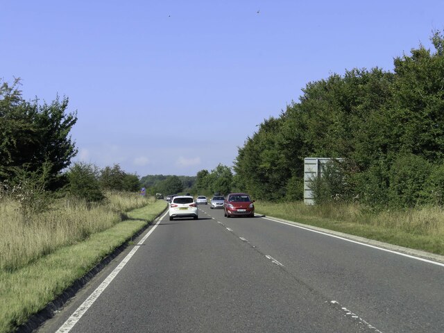
The route heads south from Northleach before heading west to Winterwell Barn and across the Fosse Way. The way is then north towards the picturesque village of Hampnett where the route turns east to run alongside the A40 road before a turn to the south to return to Northleach. Just over 4½ miles.](https://s1.geograph.org.uk/geophotos/07/34/31/7343153_8b66d549.jpg)
![A circular walk around Northleach [47] The bridleway nears the A40 road.
The route heads south from Northleach before heading west to Winterwell Barn and across the Fosse Way. The way is then north towards the picturesque village of Hampnett where the route turns east to run alongside the A40 road before a turn to the south to return to Northleach. Just over 4½ miles.](https://s3.geograph.org.uk/geophotos/07/34/31/7343155_cdbc760a.jpg)
![A circular walk around Northleach [48] The bridleway now runs alongside the A40 road.
The route heads south from Northleach before heading west to Winterwell Barn and across the Fosse Way. The way is then north towards the picturesque village of Hampnett where the route turns east to run alongside the A40 road before a turn to the south to return to Northleach. Just over 4½ miles.](https://s0.geograph.org.uk/geophotos/07/34/31/7343156_fa0f88de.jpg)
![A circular walk around Northleach [49] The bridleway continues to run alongside the A40 road.
The route heads south from Northleach before heading west to Winterwell Barn and across the Fosse Way. The way is then north towards the picturesque village of Hampnett where the route turns east to run alongside the A40 road before a turn to the south to return to Northleach. Just over 4½ miles.](https://s1.geograph.org.uk/geophotos/07/34/31/7343157_4ceaf234.jpg)
Beale's Copse is located at Grid Ref: SP1216 (Lat: 51.850998, Lng: -1.8259119)
Administrative County: Gloucestershire
District: Cotswold
Police Authority: Gloucestershire
What 3 Words
///chimp.girder.hardening. Near Northleach, Gloucestershire
Nearby Locations
Related Wikis

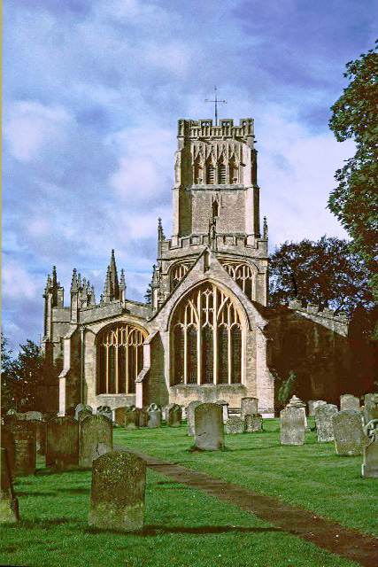
Church of All Saints, Turkdean
The Anglican Church of All Saints at Turkdean in the Cotswold District of Gloucestershire, England was built in the 12th century. It is a grade I listed...

Turkdean
Turkdean is a village and civil parish in Gloucestershire, England, approximately 30 km (19 mi) to the east of Gloucester. It lies in the Cotswolds, an...

RAF Northleach
Royal Air Force Northleach or more simply RAF Northleach is a former Royal Air Force satellite airfield near the Cotswold town of Northleach, Gloucestershire...
Farmington, Gloucestershire
Farmington is a village located in the county of Gloucestershire, in England. As of 2011 the village had 112 residents. It is mentioned in the Domesday...

Church of St Peter, Farmington
The Anglican Church of St Peter at Farmington in the Cotswold District of Gloucestershire, England was built in the 12th century. It is a grade I listed...
Hampnett
Hampnett is a small village and civil parish in Gloucestershire, England, just west of the Fosse Way. It is situated west of the junction of the A40 and...
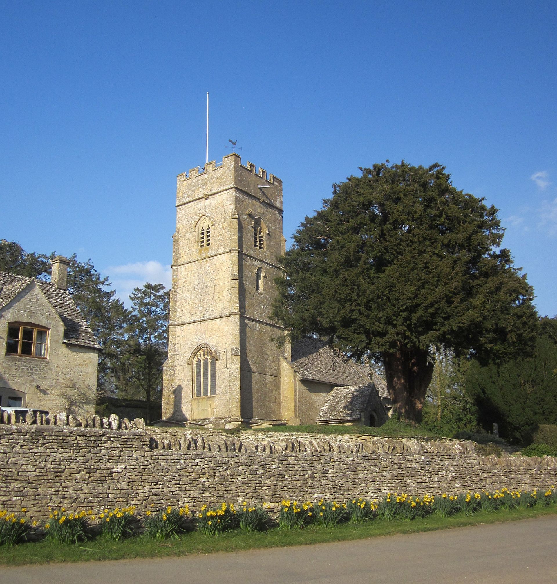
Church of St George, Hampnett
The Anglican Church of St George at Hampnett in the Cotswold District of Gloucestershire, England was built in 12th century. It is a grade I listed building...
Northleach
Northleach is a market town and former civil parish, now in parish Northleach with Eastington, in the Cotswold district, in Gloucestershire, England. The...
Have you been to Beale's Copse?
Leave your review of Beale's Copse below (or comments, questions and feedback).