Ashley Heath
Wood, Forest in Hampshire
England
Ashley Heath

Ashley Heath is a small village located in Hampshire, England. Situated on the edge of the New Forest National Park, it is known for its beautiful woodlands and forested areas. The village is surrounded by picturesque natural landscapes, making it a popular destination for nature enthusiasts and outdoor activities.
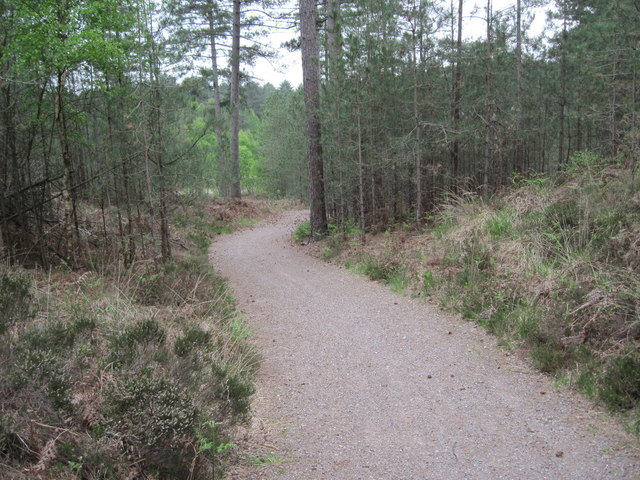
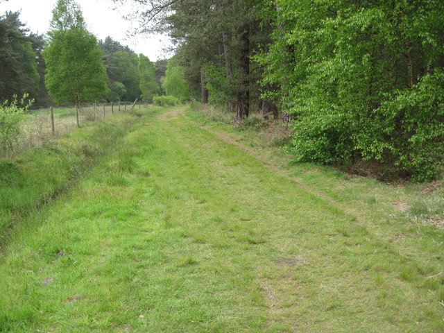
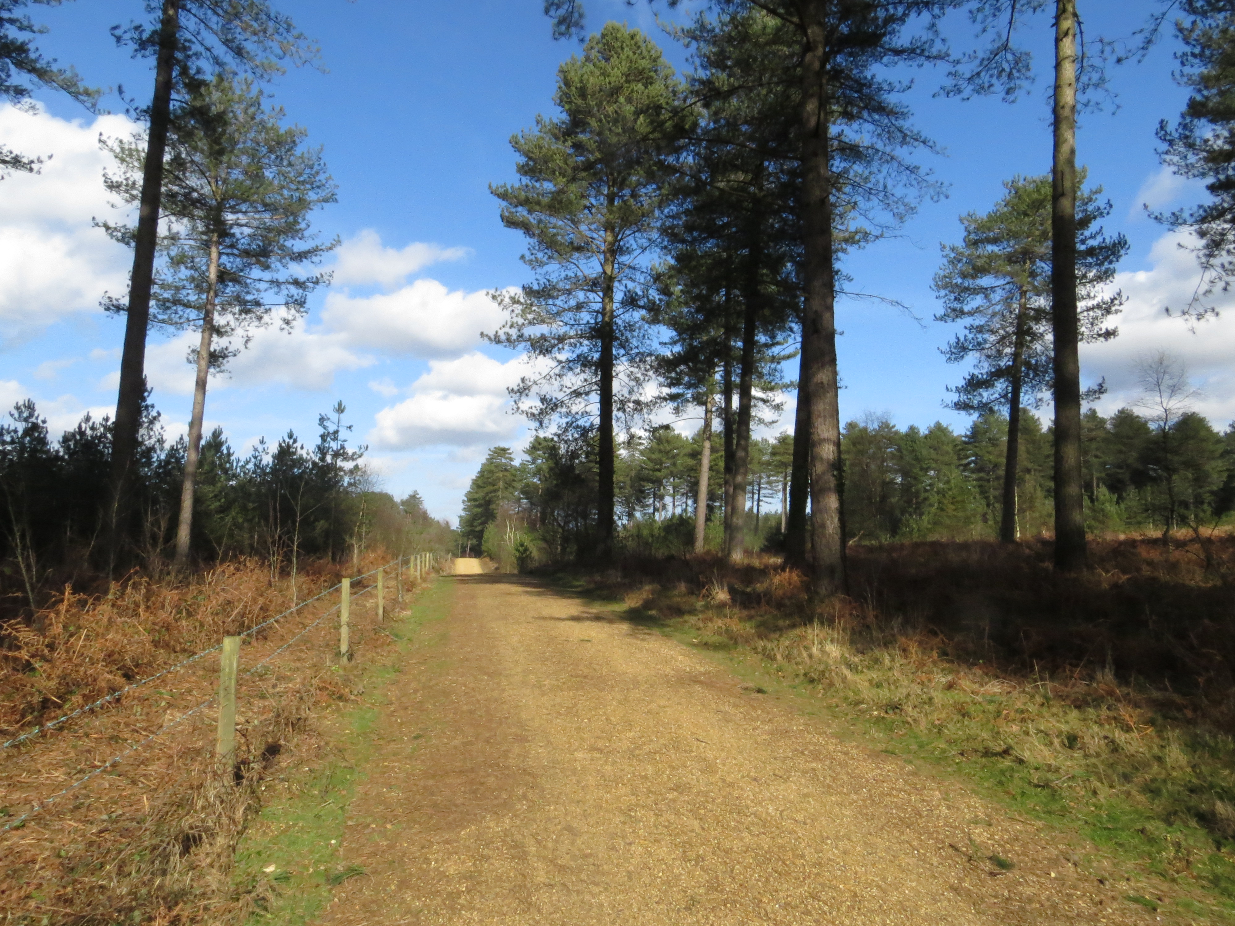
The New Forest National Park is a significant feature of Ashley Heath, offering an extensive area of preserved woodlands and heathlands. Visitors can explore the park through numerous walking and cycling trails, allowing them to immerse themselves in the stunning scenery and observe the diverse wildlife that inhabits the area. The forest is home to a variety of animals, including deer, ponies, and a wide range of bird species.
Ashley Heath itself is a charming village, characterized by its peaceful atmosphere and rural surroundings. The village has a small community and offers a number of amenities, including a village hall, a local shop, and a pub. The area also boasts several campsites and holiday parks, attracting tourists who want to experience the tranquility of the New Forest.
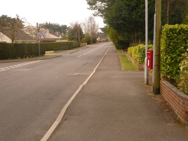
In addition to its natural beauty, Ashley Heath is conveniently located near the town of Ringwood, which provides further amenities such as supermarkets, restaurants, and shops. The village also benefits from good transport links, with easy access to major roads and the nearby cities of Bournemouth and Southampton.
Overall, Ashley Heath is a delightful village that offers a peaceful retreat in the heart of the New Forest. Its natural beauty, combined with its convenient location, makes it an ideal destination for those seeking a tranquil and picturesque getaway.
If you have any feedback on the listing, please let us know in the comments section below.
Ashley Heath Images
Images are sourced within 2km of 50.852514/-1.8319508 or Grid Reference SU1105. Thanks to Geograph Open Source API. All images are credited.


Ashley Heath is located at Grid Ref: SU1105 (Lat: 50.852514, Lng: -1.8319508)
Unitary Authority: Dorset
Police Authority: Dorset
What 3 Words
///impressed.fitter.mice. Near St Leonards, Dorset
Nearby Locations
Related Wikis
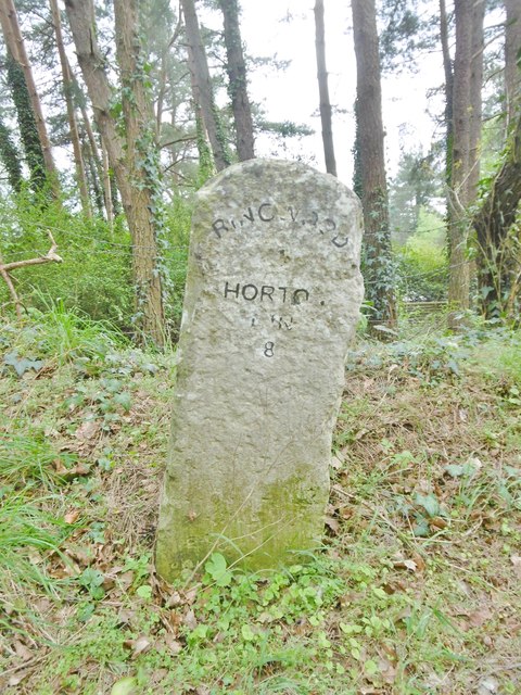
Moors Valley Country Park
Moors Valley Country Park, officially Moors Valley Country Park and Forest, is a Country Park jointly managed by Dorset Council and Forestry England situated...
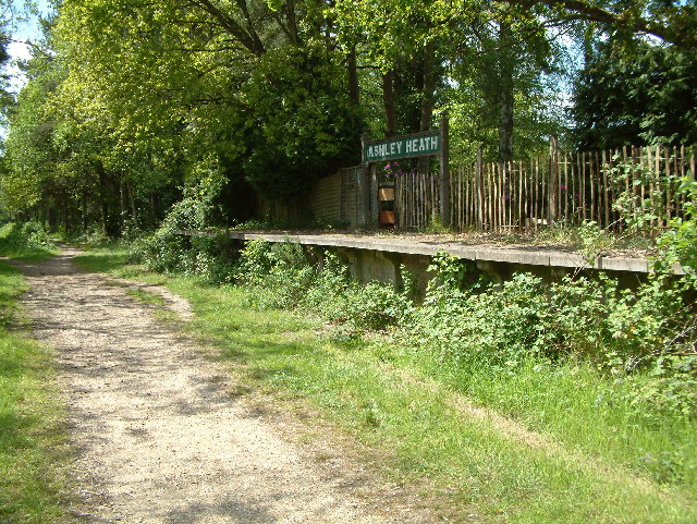
Ashley Heath Halt railway station
Ashley Heath Halt was a railway station in England on the Southampton and Dorchester Railway formerly in the county of Hampshire (now part of Dorset)....
Ashley Heath
Ashley Heath is a village in Dorset, England, adjacent to the villages of St Leonards and St Ives, with which it forms the civil parish of St Leonards...
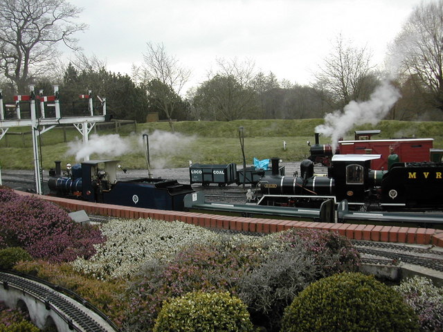
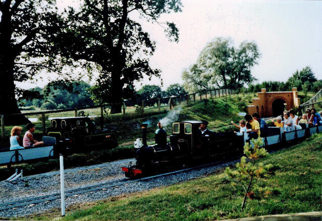
Moors Valley Railway
The Moors Valley Railway is a 7+1⁄4 in (184 mm) narrow gauge passenger railway, in the Moors Valley Country Park at Ashley Heath, Dorset, England near...
Nearby Amenities
Located within 500m of 50.852514,-1.8319508Have you been to Ashley Heath?
Leave your review of Ashley Heath below (or comments, questions and feedback).