Birch Wood

Wood, Forest in Staffordshire East Staffordshire

England

Birch Wood

A healthy looking crop Looking across a field of wheat.
A healthy looking crop Credit: Malcolm Neal

Birch Wood is a picturesque forest located in the county of Staffordshire, England. Covering an expansive area of lush greenery, the wood is known for its dense population of birch trees, which give the forest its name. This natural haven offers a serene and tranquil atmosphere, making it a popular destination for nature enthusiasts and hikers.

The forest boasts an array of flora and fauna, attracting a variety of wildlife. Visitors may be fortunate enough to spot deer, foxes, and a multitude of bird species as they explore the wood's well-maintained trails. The enchanting sound of birdsong fills the air, creating a harmonious symphony with the rustling of leaves.

The woodland is renowned for its striking beauty throughout the seasons. In spring, vibrant bluebells carpet the forest floor, creating a breathtaking sight. In the summer, the dense canopy provides welcome shade from the sun, while autumn brings a kaleidoscope of fiery hues as the leaves change color. Even in winter, Birch Wood exudes a certain charm, with frost-covered branches glistening in the sunlight.

The wood is easily accessible, with designated parking areas and well-marked paths for navigation. It offers a range of activities for visitors, including walking, cycling, and wildlife spotting. Picnic areas are scattered throughout the forest, providing the perfect spot to relax and enjoy the natural surroundings.

Birch Wood is not only a haven for nature lovers but also an important habitat for biodiversity. The wood is carefully managed to ensure the preservation of its unique ecosystem, making it a valuable resource for research and conservation efforts.

If you have any feedback on the listing, please let us know in the comments section below.
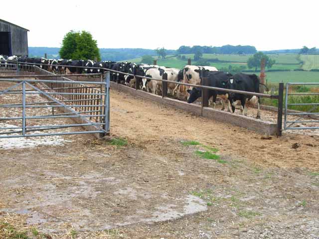
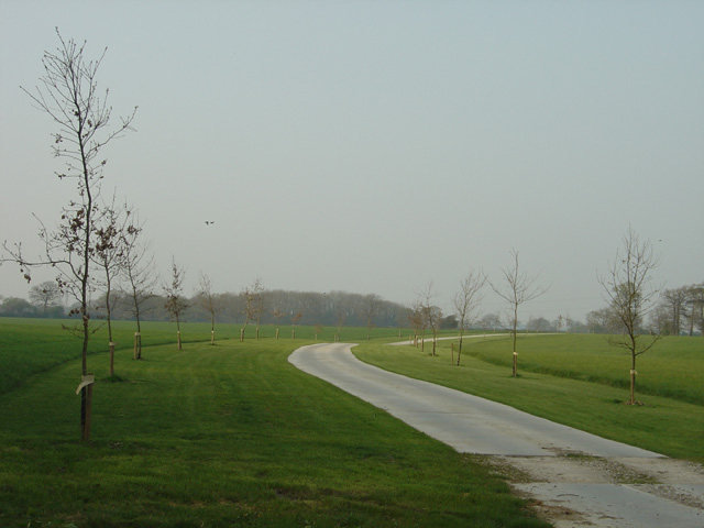
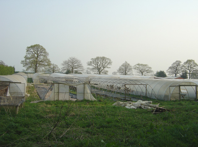
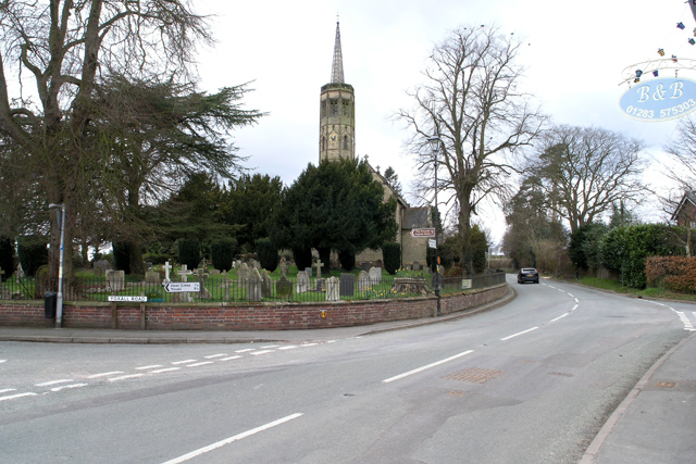
Birch Wood Images

Images are sourced within 2km of 52.816831/-1.8254817 or Grid Reference SK1124. Thanks to Geograph Open Source API. All images are credited.

A healthy looking crop Looking across a field of wheat.
A healthy looking crop
Looking across a field of wheat.
Thorney Lanes Standing on a small triangle of grass looking along Thorney Lanes.
Thorney Lanes
Standing on a small triangle of grass looking along Thorney Lanes.
Thorney Lanes This is just before the junction with Abbots Bromley Road.
Thorney Lanes
This is just before the junction with Abbots Bromley Road.
Approaching Hoar Cross Further along Yoxall Road near the cross roads with Hoar Cross just visible, not that it is a very big place.
Approaching Hoar Cross
Further along Yoxall Road near the cross roads with Hoar Cross just visible, not that it is a very big place.
Direction Sign - Signpost in Hoar Cross Located on the southwest side of the crossroads of Newborough Road, Abbots Bromley Road and Hoar Cross Road in Hoar Cross parish. 3 arms and perforated disc finial. See also <a title="https://www.geograph.org.uk/photo/3555123" href="https://www.geograph.org.uk/photo/3555123">Link</a>.

Milestone Society National ID: ST_SK1323
Direction Sign - Signpost in Hoar Cross
Located on the southwest side of the crossroads of Newborough Road, Abbots Bromley Road and Hoar Cross Road in Hoar Cross parish. 3 arms and perforated disc finial. See also Link. Milestone Society National ID: ST_SK1323
Old Milepost by the B5234, Abbots Bromley parish Cast iron post by the B5234, in parish of ABBOTS BROMLEY (EAST STAFFORDSHIRE District), roadside, in front of hedge, on South side of road. Lathe iron casting, erected by the County Council in the 19th/20th century. 

Inscription reads:-
: ABBOTS - / BROMLEY 1 : : ABBOTS / BROMLEY : : NEWBOROUGH 2½ / BURTON 10 : 
: Chas. Lathe, Tipton. :

Grade II listed.  
List Entry Number: 1038408 <span class="nowrap"><a title="https://historicengland.org.uk/listing/the-list/list-entry/1038408" rel="nofollow ugc noopener" href="https://historicengland.org.uk/listing/the-list/list-entry/1038408">Link</a><img style="margin-left:2px;" alt="External link" title="External link - shift click to open in new window" src="https://s1.geograph.org.uk/img/external.png" width="10" height="10"/></span>

Milestone Society National ID: ST_ASBT01.
Old Milepost by the B5234, Abbots Bromley parish
Cast iron post by the B5234, in parish of ABBOTS BROMLEY (EAST STAFFORDSHIRE District), roadside, in front of hedge, on South side of road. Lathe iron casting, erected by the County Council in the 19th/20th century. Inscription reads:- : ABBOTS - / BROMLEY 1 : : ABBOTS / BROMLEY : : NEWBOROUGH 2½ / BURTON 10 : : Chas. Lathe, Tipton. : Grade II listed. List Entry Number: 1038408 LinkExternal link Milestone Society National ID: ST_ASBT01.
Woodland at Roost Hill It is interesting to contrast the attitude of private forestry operators (as here, no public access) with that of the Forestry Commission who regard public access and recreation as part of their responsibilities.
Woodland at Roost Hill
It is interesting to contrast the attitude of private forestry operators (as here, no public access) with that of the Forestry Commission who regard public access and recreation as part of their responsibilities.
Pound Farm Where Thorney Lanes crosses the B5234 road from Abbots Bromley to Burton-upon-Trent
Pound Farm
Where Thorney Lanes crosses the B5234 road from Abbots Bromley to Burton-upon-Trent
Waiting for milking time, Holt Hill
Hoar Cross A traditional signpost, topped with the Staffordshire knot, stands at this cross-roads. The Menell Ingram Arms public house is partially hidden behind the tree.
Hoar Cross
A traditional signpost, topped with the Staffordshire knot, stands at this cross-roads. The Menell Ingram Arms public house is partially hidden behind the tree.
Hay meadow and hay bales Seen from the road between Hoar Cross and Newborough
Hay meadow and hay bales
Seen from the road between Hoar Cross and Newborough
Slate House Farm, Bromley Wood, near Abbots Bromley, Staffordshire. Slate House Farm is situated alongside the B5234, Abbots Bromley to Burton upon Trent road, in the hamlet of Bromley Wood. It is a dairy farm with 60 Holstein-Friesian milk cows. Brickwork in the gable end of the barn facing, proudly states the age of the building as 1859. The white farm sign on the end of the barn tells us that the farm not only supplies farm assured milk to the Dairy Crest creamery but also that food standards are assured with the 'little red tractor' symbol. It may be coincidence but the farmer has a new red Massey Ferguson tractor parked in the farmyard!
Slate House Farm, Bromley Wood, near Abbots Bromley, Staffordshire.
Slate House Farm is situated alongside the B5234, Abbots Bromley to Burton upon Trent road, in the hamlet of Bromley Wood. It is a dairy farm with 60 Holstein-Friesian milk cows. Brickwork in the gable end of the barn facing, proudly states the age of the building as 1859. The white farm sign on the end of the barn tells us that the farm not only supplies farm assured milk to the Dairy Crest creamery but also that food standards are assured with the 'little red tractor' symbol. It may be coincidence but the farmer has a new red Massey Ferguson tractor parked in the farmyard!
Fields of maize near Newborough, Staffordshire. Fields of maize look remarkably healthy in the early evening sunshine, despite a heatwave and lack of rain over the previous few weeks! The view is from the B5234 looking south-west. The edge of Birch Wood is on the left and Barn Farm can be clearly seen on the ridge in the middle distance. The cooling towers of Rugeley Power Station can just be picked out in the far distance, with Cannock Chase beyond.
Fields of maize near Newborough, Staffordshire.
Fields of maize look remarkably healthy in the early evening sunshine, despite a heatwave and lack of rain over the previous few weeks! The view is from the B5234 looking south-west. The edge of Birch Wood is on the left and Barn Farm can be clearly seen on the ridge in the middle distance. The cooling towers of Rugeley Power Station can just be picked out in the far distance, with Cannock Chase beyond.
Field of wheat near Newborough, Staffordshire. Early evening sunshine casts long shadows over a field of ripening wheat. The view is looking from just off the B5234 near Parkgate Farm, north-eastwards towards Noah's Ark Farm on Chantry Lane, which can clearly be seen on the skyline.
Field of wheat near Newborough, Staffordshire.
Early evening sunshine casts long shadows over a field of ripening wheat. The view is looking from just off the B5234 near Parkgate Farm, north-eastwards towards Noah's Ark Farm on Chantry Lane, which can clearly be seen on the skyline.
The drive to Bentilee Park farm
Bentilee A substantial Victorian farmhouse graces this farm.
Bentilee
A substantial Victorian farmhouse graces this farm.
New farm drive, Bromley Park Farm One day this will have matured into the sort of avenue that was common in the nineteenth century.
New farm drive, Bromley Park Farm
One day this will have matured into the sort of avenue that was common in the nineteenth century.
Beech Nurseries, near Bromley Wood
Show me another place!

Birch Wood is located at Grid Ref: SK1124 (Lat: 52.816831, Lng: -1.8254817)

Administrative County: Staffordshire

District: East Staffordshire

Police Authority: Staffordshire

What 3 Words

///stale.device.exotic. Near Abbots Bromley, Staffordshire

Nearby Locations

Birch Wood Eason's Coppice

Related Wikis

Hoar Cross Hall

Hoar Cross Hall is a 19th-century country mansion near the villages of Hoar Cross and Hamstall Ridware, Staffordshire. England. The Grade II listed building...

Church of the Holy Angels, Hoar Cross

The Church of the Holy Angels is an Anglican church in Hoar Cross, Staffordshire, England. It is a Grade I listed building. == History == It was built...

Newborough, Staffordshire

Newborough is a village and civil parish in the county of Staffordshire, England. It is located 3 miles (5 km) south west of Hanbury and 8 miles (13 km...

Hoar Cross

Hoar Cross is a small village and civil parish in the Borough of East Staffordshire, situated approximately 7 miles (11 km) west of Burton upon Trent....

Abbots Bromley School

Abbots Bromley School (previously the School of S. Mary and S. Anne, Abbots Bromley before becoming Abbots Bromley School for Girls) was a coeducational...

Abbots Bromley

Abbots Bromley is a village and civil parish in the East Staffordshire district of Staffordshire and lies approximately 9.8 miles (15.8 km) east of Stafford...

Tatenhill Airfield

Tatenhill Airfield (ICAO: EGBM) is a licensed airfield operated by Tatenhill Aviation Ltd. Its CAA Ordinary Licence (Number P813) allows flights for the...

Marchington Woodlands

Marchington Woodlands is a village and former civil parish, now in the parish of Marchington, in the East Staffordshire district, in the county of Staffordshire...

Nearby Amenities

Located within 500m of 52.816831,-1.8254817
Milestone
Source: survey
Lat/Long: 52.8188134/-1.8300118
The data included in this document is from www.openstreetmap.org. The data is made available under ODbL.

Have you been to Birch Wood?

Leave your review of Birch Wood below (or comments, questions and feedback).