Cadborough Coppice

Wood, Forest in Worcestershire Stratford-on-Avon

England

Cadborough Coppice

Ullenhall Street
Ullenhall Street Credit: David Howard

Cadborough Coppice is a picturesque woodland located in Worcestershire, England. Spread across an area of approximately 50 acres, this enchanting forest is a popular destination for nature lovers and outdoor enthusiasts. The coppice is situated in a rural setting, surrounded by rolling hills and meandering streams.

The woodland is predominantly composed of native broadleaf trees, such as oak, beech, and ash, creating a diverse and thriving ecosystem. The dense canopy of the trees provides a cool and shaded environment, making it an ideal spot for leisurely walks, birdwatching, and picnicking. The forest floor is covered with a rich carpet of wildflowers during the spring and summer months, adding a burst of vibrant colors to the landscape.

Cadborough Coppice offers a network of well-maintained walking trails that wind through the woodland, allowing visitors to explore its hidden gems. The paths are clearly marked, making it easy for visitors to navigate through the forest and discover its various points of interest. Along the way, visitors may encounter a variety of wildlife, including deer, squirrels, and a wide range of bird species.

The woodland is also home to a small pond, which serves as a habitat for frogs, newts, and other aquatic creatures. This tranquil water feature adds to the overall charm and serenity of the coppice.

Cadborough Coppice is open to the public throughout the year, and admission is free. It offers a peaceful retreat from the hustle and bustle of everyday life, providing visitors with an opportunity to reconnect with nature and enjoy the beauty of Worcestershire's countryside.

If you have any feedback on the listing, please let us know in the comments section below.

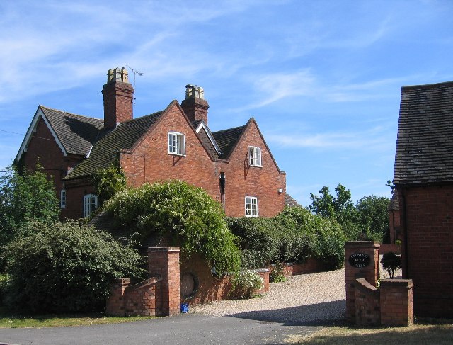
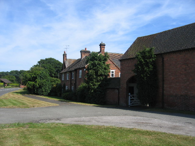
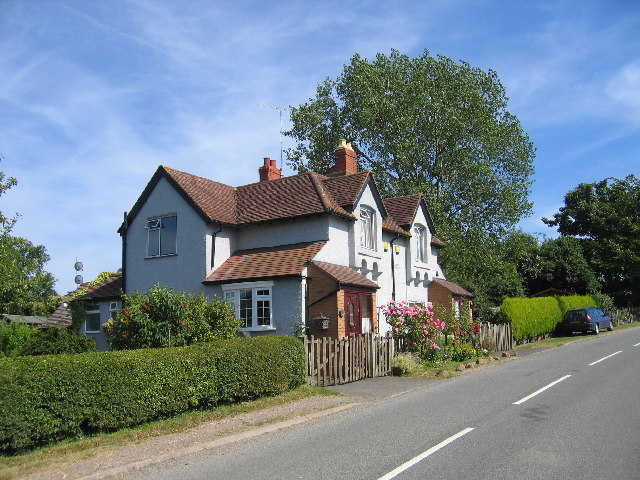
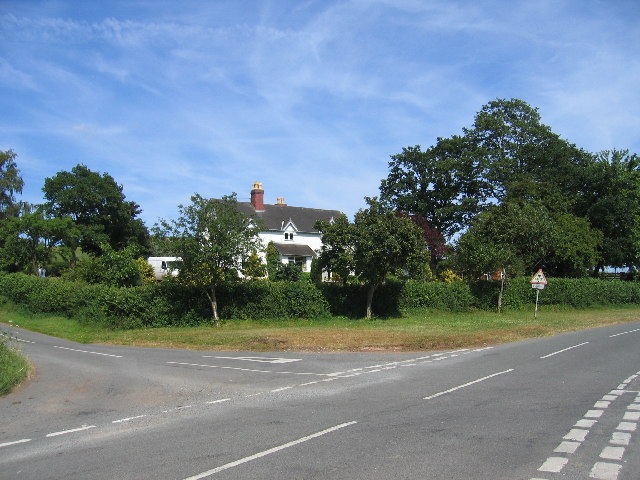
Cadborough Coppice Images

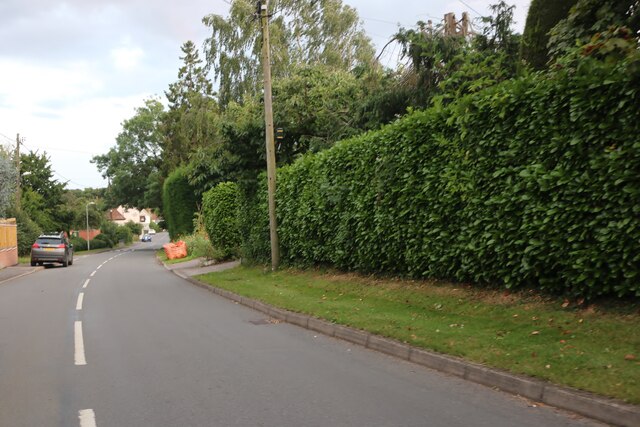
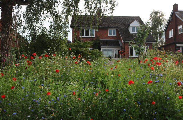
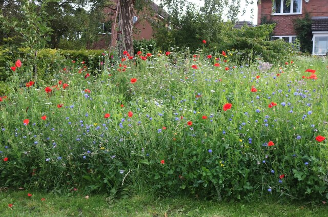
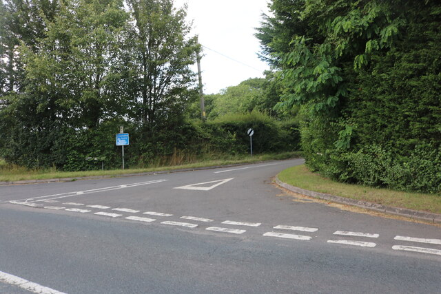
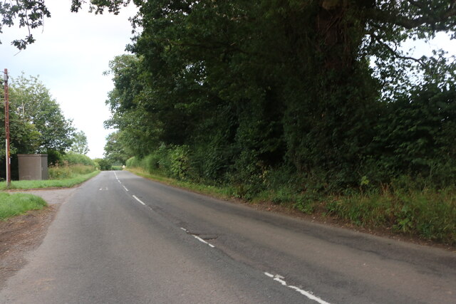
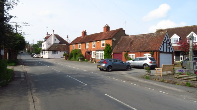
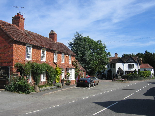
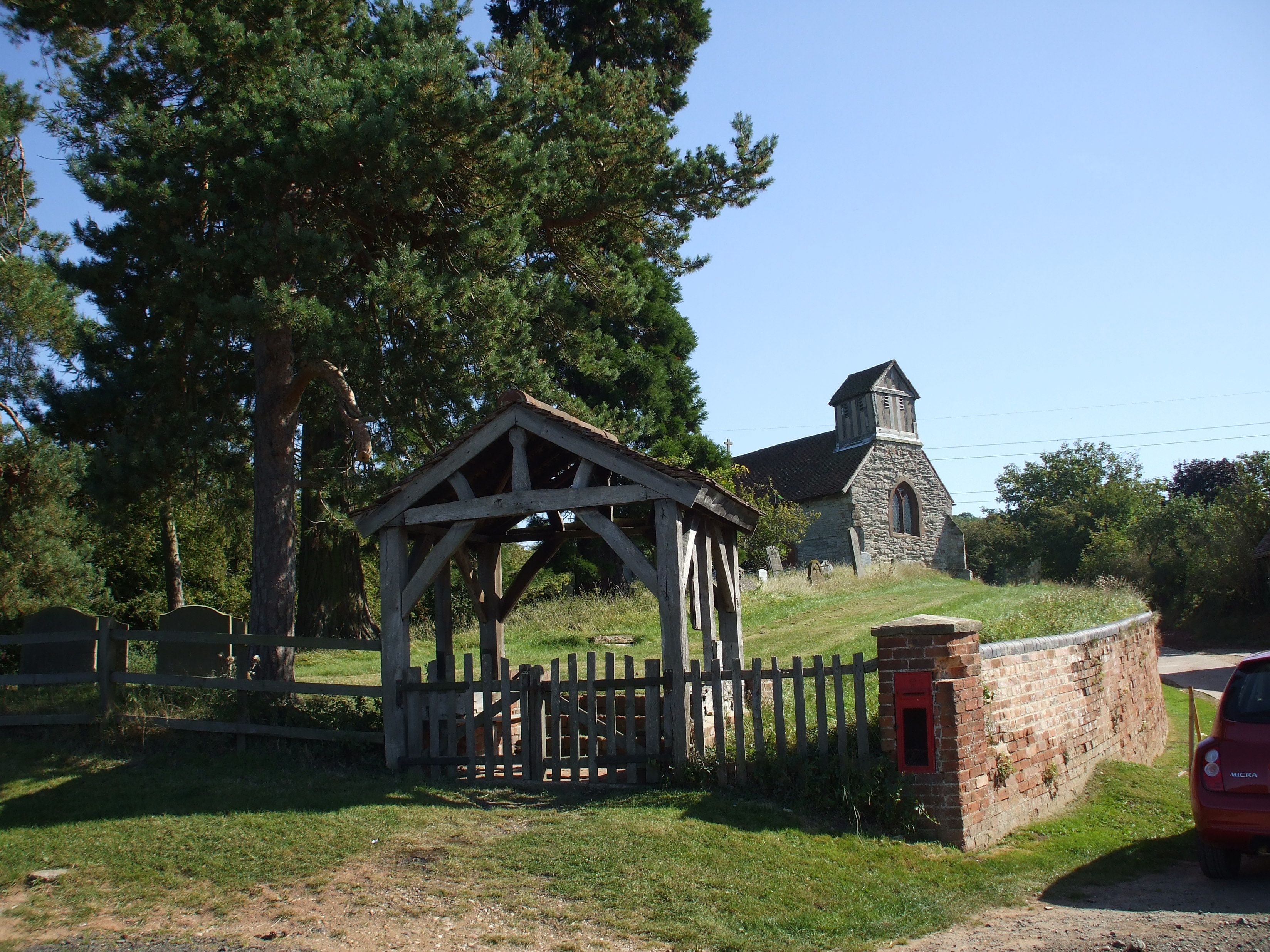
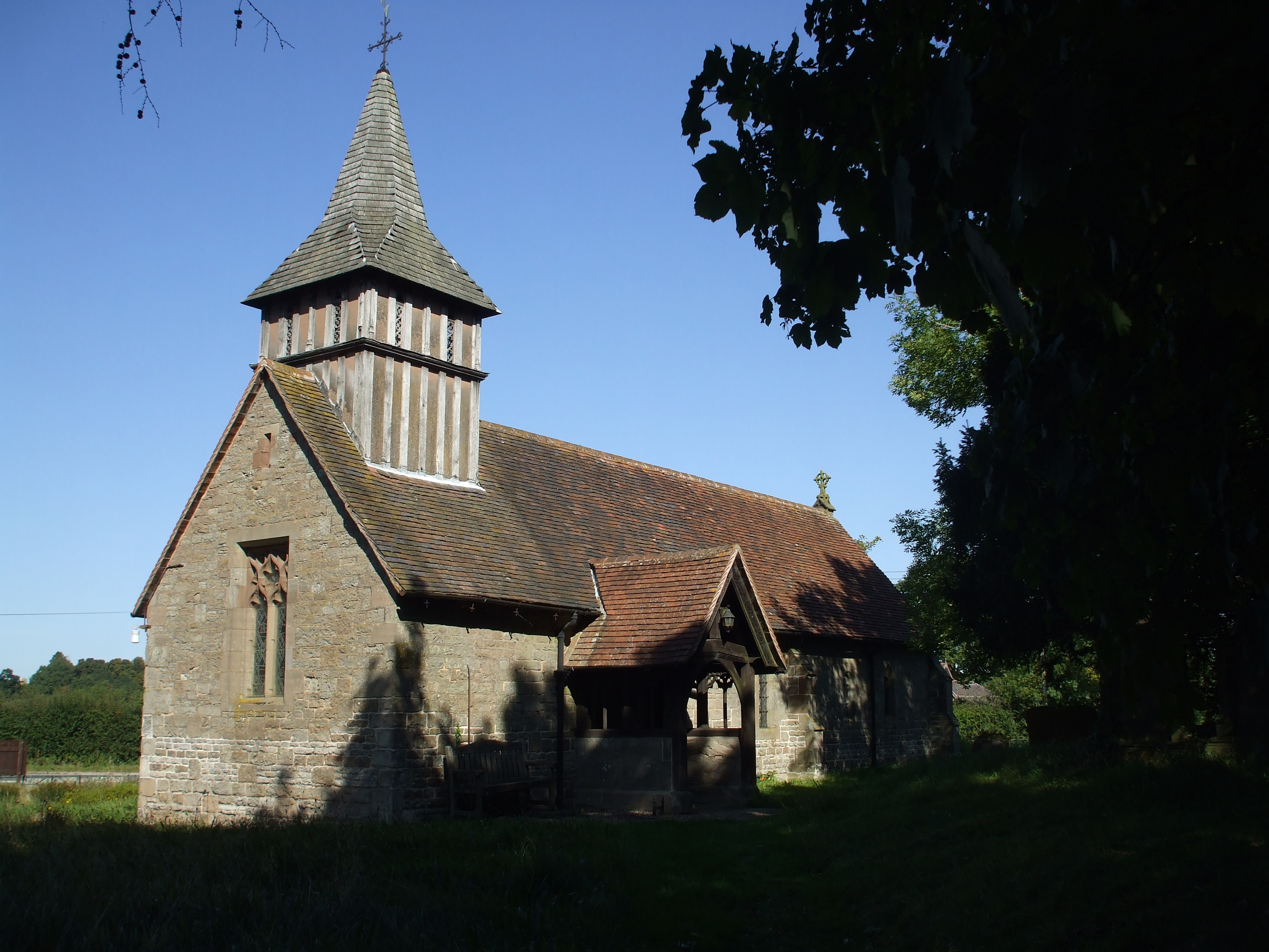
Images are sourced within 2km of 52.294989/-1.8318477 or Grid Reference SP1166. Thanks to Geograph Open Source API. All images are credited.

Ullenhall Street
Ullenhall Street
House and garden on Ullenhall Street
Garden on Ullenhall Street
Cat watching the drive in Ullenhall
I'm watching you The cat was very interested in me.
I'm watching you
The cat was very interested in me.
Church Road, Ullenhall From the A4189
Church Road, Ullenhall
From the A4189
The A4189, Ullenhall
Henley Road east of Ullenhall
Ullenhall - Church of St Mary the Virgin
Ullenhall village centre
Ullenhall - Old Church of St Mary
Heath Farm The very tidy driveway to Heath Farm from the B4480.
Heath Farm
The very tidy driveway to Heath Farm from the B4480.
Ullenhall The village centre with war memorial
Ullenhall
The village centre with war memorial
Ullenhall Crowley's Farm, now with the usual barn conversions, on the outskirts of the village.
Ullenhall
Crowley's Farm, now with the usual barn conversions, on the outskirts of the village.
Tracy Farm Right in the north of the square beside the Henley-in-Arden to Redditch road.
Tracy Farm
Right in the north of the square beside the Henley-in-Arden to Redditch road.
Outhill Looking south towards Gattax Farm, and faintly  in the haze on the horizon, the Malvern Hills
Outhill
Looking south towards Gattax Farm, and faintly in the haze on the horizon, the Malvern Hills
Chester's Green Cottages Classic farm cottages beside the road to Morton Bagot.
Chester's Green Cottages
Classic farm cottages beside the road to Morton Bagot.
Morton Bagot The Woodlands at the cross roads at Morton Bagot.
Morton Bagot
The Woodlands at the cross roads at Morton Bagot.
Show me another place!

Cadborough Coppice is located at Grid Ref: SP1166 (Lat: 52.294989, Lng: -1.8318477)

Administrative County: Warwickshire

District: Stratford-on-Avon

Police Authority: Warwickshire

What 3 Words

///protect.mandolin.baked. Near Henley in Arden, Warwickshire

Nearby Locations

Cadborough Coppice

Related Wikis

Barrells Hall

Barrells Hall is a large house in the Warwickshire countryside near Henley-in-Arden. The nearest village is Ullenhall, which for many years was the estate...

Ullenhall

Ullenhall is a large town and civil parish in the borough of Redditch, England, situated about 10 miles (16 km) west of Henley in Arden and 18.2 miles...

Morton Bagot

Morton Bagot is a small village in the Stratford-on-Avon District of Warwickshire, England. It lies about 1.5 miles (2 km) east of the Birmingham-Alcester...

Oldberrow

Oldberrow is a village in the Stratford-on-Avon District of Warwickshire, England. The parish was part of Worcestershire until 1896, when it was transferred...

Nearby Amenities

Located within 500m of 52.294989,-1.8318477
Barrier: stile
Source: survey
Lat/Long: 52.2940648/-1.8255628
Barrier: stile
Lat/Long: 52.29672/-1.828546
Barrier: stile
Lat/Long: 52.2968057/-1.8283472
Barrier: swing_gate
Motorcar: private
Swing Gate Type: double
Lat/Long: 52.2968131/-1.8279376
Leaf Cycle: deciduous
Leaf Type: broadleaved
Natural Felled: tree
Lat/Long: 52.2983197/-1.8270054
Leaf Cycle: deciduous
Leaf Type: broadleaved
Natural Felled: tree
Lat/Long: 52.2982722/-1.8269464
Leaf Cycle: deciduous
Leaf Type: broadleaved
Natural Felled: tree
Lat/Long: 52.2982869/-1.8268472
Leaf Cycle: deciduous
Leaf Type: broadleaved
Natural Felled: tree
Lat/Long: 52.2981459/-1.8266997
Leaf Cycle: deciduous
Leaf Type: broadleaved
Natural Felled: tree
Lat/Long: 52.298077/-1.8265039
Leaf Cycle: deciduous
Leaf Type: broadleaved
Natural Felled: tree
Lat/Long: 52.2983591/-1.8273434
Leaf Cycle: deciduous
Leaf Type: broadleaved
Natural Felled: tree
Lat/Long: 52.2982426/-1.8272871
Leaf Cycle: deciduous
Leaf Type: broadleaved
Natural Felled: tree
Lat/Long: 52.2981787/-1.8272442
Leaf Cycle: deciduous
Leaf Type: broadleaved
Natural Felled: tree
Lat/Long: 52.2981278/-1.8272066
Leaf Cycle: deciduous
Leaf Type: broadleaved
Natural Felled: tree
Lat/Long: 52.2983788/-1.8270135
Leaf Cycle: deciduous
Leaf Type: broadleaved
Natural Felled: tree
Lat/Long: 52.2984165/-1.827212
Leaf Cycle: deciduous
Leaf Type: broadleaved
Natural Felled: tree
Lat/Long: 52.2985067/-1.827566
Leaf Cycle: deciduous
Leaf Type: broadleaved
Natural Felled: tree
Lat/Long: 52.2985445/-1.8276358
Leaf Cycle: deciduous
Leaf Type: broadleaved
Natural Felled: tree
Lat/Long: 52.2984953/-1.827676
Leaf Cycle: deciduous
Leaf Type: broadleaved
Natural Felled: tree
Lat/Long: 52.298469/-1.8277645
Leaf Cycle: deciduous
Leaf Type: broadleaved
Natural Felled: tree
Lat/Long: 52.2983493/-1.8276814
Power: pole
Ref: 931491
Source: wpd_opendata
Transformer: distribution
Lat/Long: 52.298054/-1.8269438
Barrier: stile
Source: survey
Lat/Long: 52.2931334/-1.8267196
Barrier: stile
Source: survey
Lat/Long: 52.298802/-1.8327561
Barrier: stile
Source: survey
Lat/Long: 52.2992711/-1.8338397
The data included in this document is from www.openstreetmap.org. The data is made available under ODbL.

Have you been to Cadborough Coppice?

Leave your review of Cadborough Coppice below (or comments, questions and feedback).