Nan's Wood

Wood, Forest in Staffordshire East Staffordshire

England

Nan's Wood

Dew pond on the Weaver Hills The land around the Weaver Hills is now Open Access land and stiles have been built to enable easy crossing of dry stone walls.
Dew pond on the Weaver Hills Credit: Nikki Mahadevan

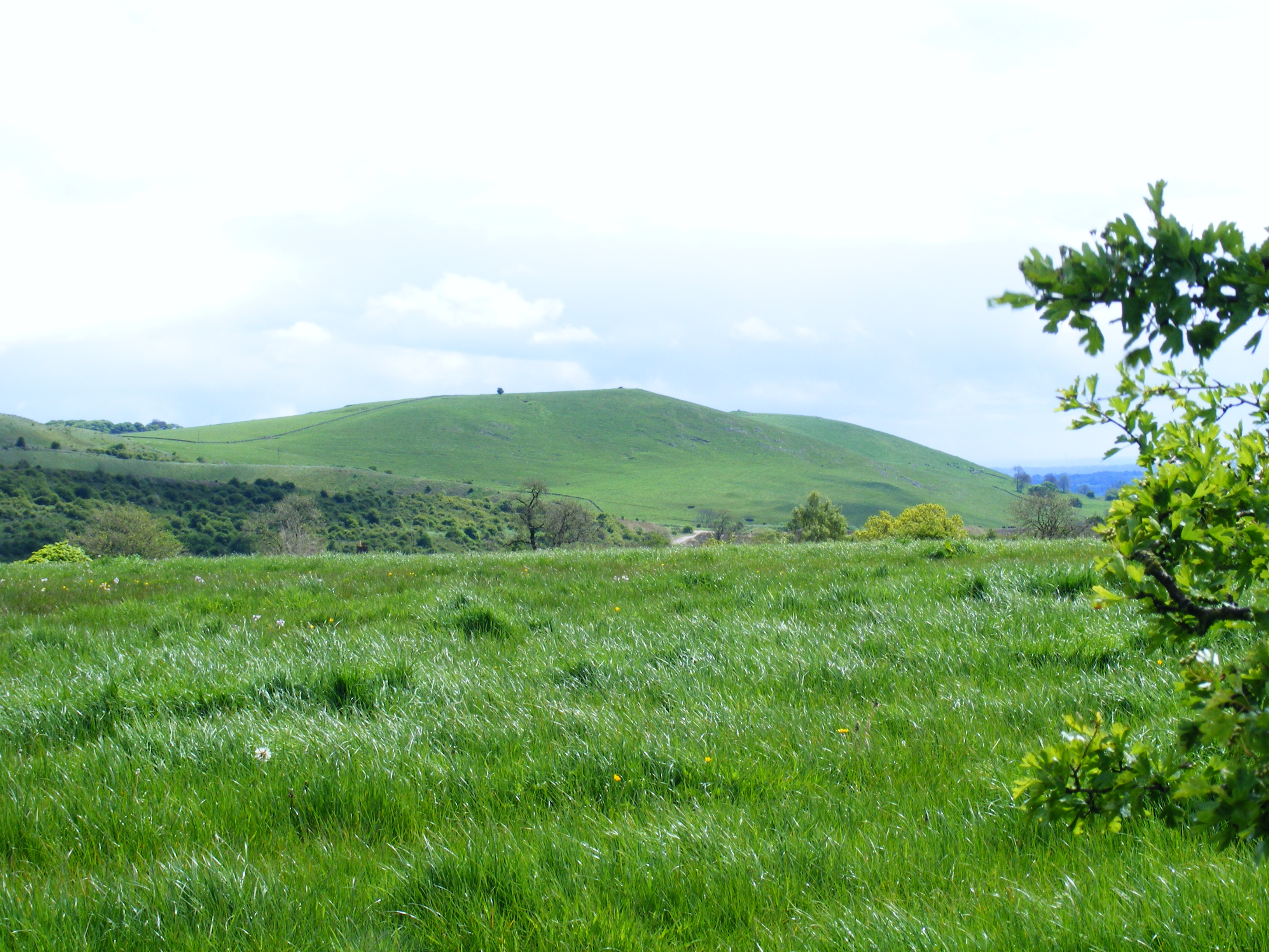
Nan's Wood is a picturesque woodland located in Staffordshire, England. Spanning over 100 acres, it is renowned for its natural beauty and diverse ecosystem. The wood is situated in an area known for its rolling hills and charming countryside, making it a popular destination for nature enthusiasts and hikers alike.

The wood is home to a vast array of flora and fauna, including ancient oak trees, wildflowers, and various species of birds and mammals. Its rich biodiversity provides a habitat for numerous protected and rare species, making it an important conservation site. Visitors can expect to spot woodpeckers, deer, and even the occasional fox or badger.

The wood is crisscrossed by a network of well-maintained trails, allowing visitors to explore its enchanting surroundings. These paths wind through the towering trees, offering stunning views of the woodland and its peaceful atmosphere. There are also designated picnic areas and benches, providing the perfect spot for a leisurely lunch amidst nature.

Nan's Wood is a haven for birdwatchers, with its tranquil atmosphere and abundance of birdlife. Ornithologists can spend hours observing and identifying the various species that inhabit the wood. The wood is particularly renowned for its populations of woodpeckers, whose distinctive drumming can often be heard echoing through the trees.

In addition to its natural beauty, Nan's Wood also holds historical significance. It is believed to have been a source of timber for the local community in centuries past and remnants of old saw pits can still be found dotted throughout the wood.

Overall, Nan's Wood in Staffordshire is a captivating destination that offers visitors a chance to immerse themselves in the beauty of nature, explore its trails, spot wildlife, and appreciate its historical importance.

If you have any feedback on the listing, please let us know in the comments section below.
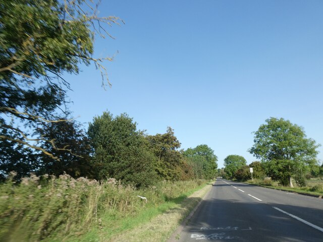
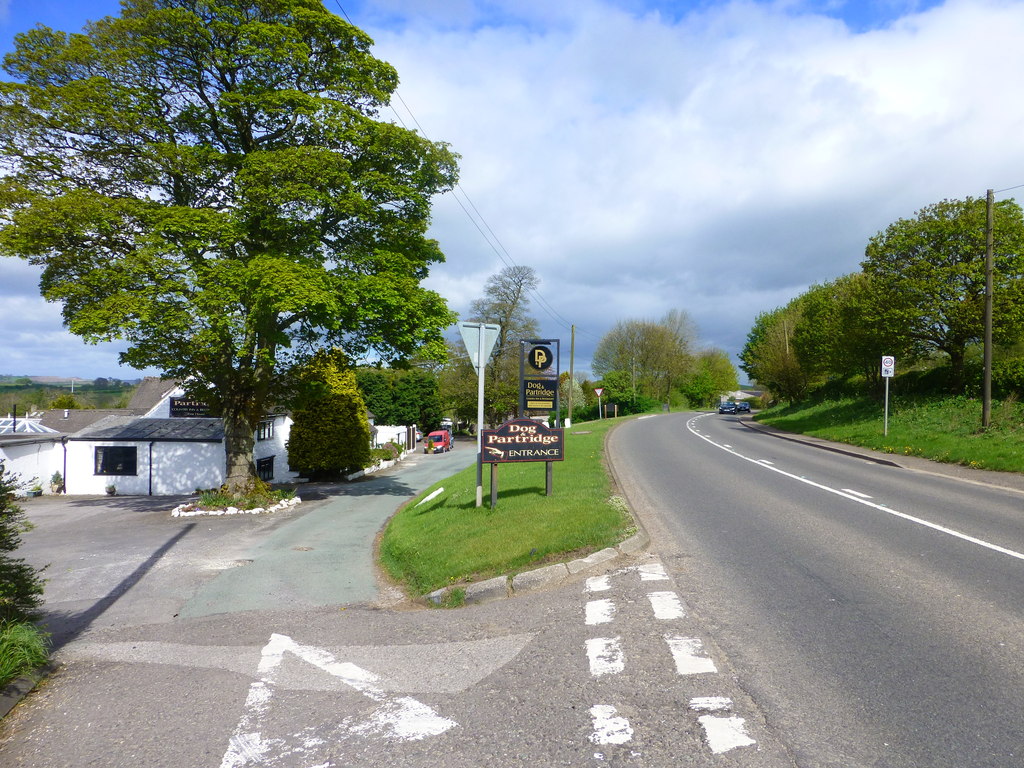
Nan's Wood Images

Images are sourced within 2km of 53.019493/-1.8304502 or Grid Reference SK1146. Thanks to Geograph Open Source API. All images are credited.

Dew pond on the Weaver Hills The land around the Weaver Hills is now Open Access land and stiles have been built to enable easy crossing of dry stone walls.
Dew pond on the Weaver Hills
The land around the Weaver Hills is now Open Access land and stiles have been built to enable easy crossing of dry stone walls.
A quiet section of the A52 Standing on the cattle grid where the road from the Weaver Hills joins the A52. This section of the road is so much quieter than further east towards Ashbourne and Derby.
A quiet section of the A52
Standing on the cattle grid where the road from the Weaver Hills joins the A52. This section of the road is so much quieter than further east towards Ashbourne and Derby.
Stile without a purpose
The A52 - quiet for a change
Junction of the road to the Weaver Hills and the A52
Road towards the Weaver Hills
The lane to Walk Farm A private road, but a public footpath
The lane to Walk Farm
A private road, but a public footpath
View towards Caldon Low Seen from the road down off the Weaver Hills.
View towards Caldon Low
Seen from the road down off the Weaver Hills.
Trees in the last of the light
Junction signage
Junction signage
Heavy clouds over the fields Between showers at the moment but the clouds look as though more are due.
Heavy clouds over the fields
Between showers at the moment but the clouds look as though more are due.
Farm buildings The trees no doubt were planted to act as a wind brake for the farm buildings.
Farm buildings
The trees no doubt were planted to act as a wind brake for the farm buildings.
Milepost by A523 near Calton Moor House And a distant wind turbine
Milepost by A523 near Calton Moor House
And a distant wind turbine
Lay-by by A523
Lay-by by A523
Long straight length of A52, west of Swinscoe The A52 is a major east-west road in the East Midlands. It runs east from a junction with the A53 at Newcastle-under-Lyme near Stoke-on-Trent (just east of the M6) to the Lincolnshire coast at Mablethorpe. Running for approximately 147 miles, its route passes via Ashbourne, Derby, Stapleford, Nottingham, West Bridgford, Bingham, Grantham, Boston and Skegness.
Long straight length of A52, west of Swinscoe
The A52 is a major east-west road in the East Midlands. It runs east from a junction with the A53 at Newcastle-under-Lyme near Stoke-on-Trent (just east of the M6) to the Lincolnshire coast at Mablethorpe. Running for approximately 147 miles, its route passes via Ashbourne, Derby, Stapleford, Nottingham, West Bridgford, Bingham, Grantham, Boston and Skegness.
Stanton Chapel in Bankside, Stanton. The stone over the door is inscribed "Primitive Methodist Chapel erected at the sole expense of David Smith. AD 1824". Primitive Methodism started only 30 km away on <a href="https://www.geograph.org.uk/gridref/SJ8557">SJ8557</a> Mow Cop in 1807.
Stanton Chapel
in Bankside, Stanton. The stone over the door is inscribed "Primitive Methodist Chapel erected at the sole expense of David Smith. AD 1824". Primitive Methodism started only 30 km away on SJ8557 Mow Cop in 1807.
St Mary's Church Stanton, Staffordshire
St Mary's Church
Stanton, Staffordshire
Rhodes Cottage Sallyfield Lane, Stanton, Staffordshire. Note the topiary.
Rhodes Cottage
Sallyfield Lane, Stanton, Staffordshire. Note the topiary.
Show me another place!

Nan's Wood is located at Grid Ref: SK1146 (Lat: 53.019493, Lng: -1.8304502)

Administrative County: Staffordshire

District: East Staffordshire

Police Authority: Staffordshire

What 3 Words

///buzz.limo.scorched. Near Mayfield, Staffordshire

Related Wikis

Thorswood

Thorswood is a nature reserve of the Staffordshire Wildlife Trust, situated in the Weaver Hills near the village of Stanton, in Staffordshire, England...

Stanton, Staffordshire

Stanton is a small village situated at the eastern end of the Weaver Hills, Staffordshire, England. Stanton is located 146 miles (235.0 km) north-west...

Swinscoe

Swinscoe is a small hamlet within the Staffordshire Moorlands in Staffordshire, England. Administratively, the hamlet is part of the civil parish of Blore...

Blore

Blore (grid reference SK137493) is a small village and parish in the Staffordshire Moorlands District of England. It is on an acclivity above Dovedale...

Wootton, Staffordshire

Wootton is a village and civil parish in Staffordshire, England. The village is situated approximately 20 miles (30 km) east from Stoke-on-Trent and 20...

Weaver Hills

The Weaver Hills are a small range of hills in north east Staffordshire, England.The Weaver Hills are about 15 miles (24 km) east of Stoke-on-Trent and...

Blore with Swinscoe

Blore with Swinscoe is a civil parish north-west of Ashbourne, in the Staffordshire Moorlands district of Staffordshire, England, on the edge of the Peak...

Ramshorn

The tiny hamlet of Ramsor (Methodist spelling) in North Staffordshire played a significant part in the origins of Primitive Methodism. Listed in the Domesday...

Nearby Amenities

Located within 500m of 53.019493,-1.8304502
Ele: 278.1850586
Lat/Long: 53.0193087/-1.8230893
Ele: 294.7677002
Lat/Long: 53.0190477/-1.8363483
Barrier: stile
Ele: 296.9306641
Steps: 0
Stile: stepover
Lat/Long: 53.0189948/-1.8366171
Barrier: stile
Ele: 297.6516113
Steps: 1
Stile: stepover
Lat/Long: 53.0189306/-1.8368075
Ele: 240.9
Ford: stepping_stones
Lat/Long: 53.0175659/-1.8324439
Ele: 256.3153076
Lat/Long: 53.017986/-1.8338193
Ele: 259.1992188
Lat/Long: 53.0182368/-1.8340127
Ele: 252.4700928
Lat/Long: 53.0169165/-1.8302483
Barrier: stile
Ele: 252.4700928
Stile: squeezer
Lat/Long: 53.0169492/-1.8302831
Barrier: stile
Ele: 252.7104492
Steps: 1
Stile: stepover
Lat/Long: 53.0169613/-1.8302857
Barrier: stile
Ele: 252.7104492
Steps: 1
Stile: stepover
Lat/Long: 53.0172082/-1.8303649
Ele: 279.6270752
Lat/Long: 53.0187681/-1.8239669
Ele: 262.3234863
Lat/Long: 53.0170105/-1.8289379
Ele: 260.1605225
Lat/Long: 53.0169465/-1.8293531
Ele: 276.0220947
Lat/Long: 53.0180625/-1.8248717
Ele: 279.1463623
Lat/Long: 53.0185466/-1.8240563
The data included in this document is from www.openstreetmap.org. The data is made available under ODbL.

Have you been to Nan's Wood?

Leave your review of Nan's Wood below (or comments, questions and feedback).