Alanbrooke's Plantations

Wood, Forest in Wiltshire

England

Alanbrooke's Plantations

Rollestone crossroads
Rollestone crossroads Credit: Helen Steed

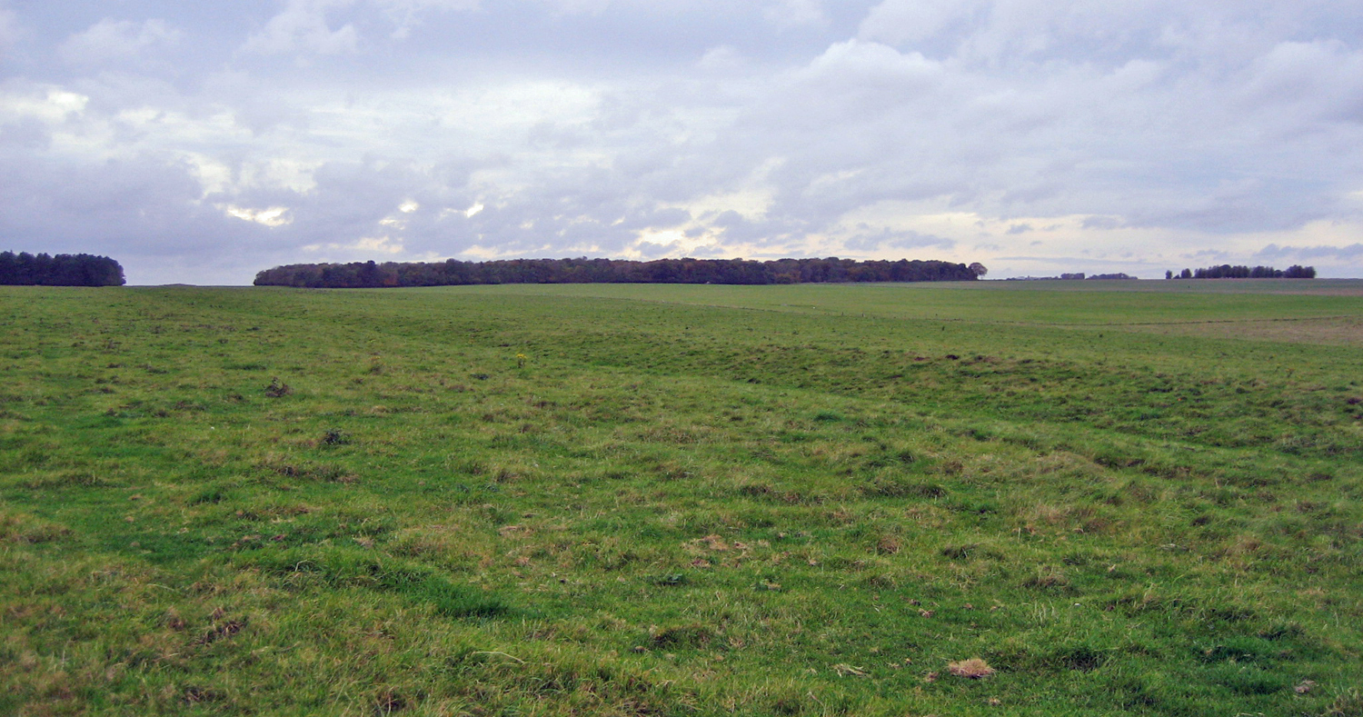
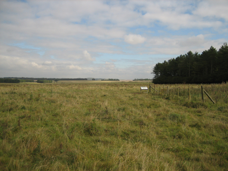
Alanbrooke's Plantations, located in Wiltshire, England, is a picturesque woodland area renowned for its natural beauty and historical significance. Spanning across several acres, this enchanting forest is a haven for nature lovers and history enthusiasts alike.

The plantation is named after Field Marshal Alan Brooke, a prominent military leader during World War II, who acquired the land in the mid-20th century. The woodland is characterized by an abundance of diverse tree species, including oak, beech, and birch, creating a rich and varied ecosystem. The dense foliage provides a serene and tranquil environment, making it an ideal destination for those seeking solace in nature.

Apart from its natural charm, Alanbrooke's Plantations holds significant historical value. The forest is believed to have been a part of the ancient Savernake Forest, which dates back to medieval times. The remnants of old pathways and structures, such as deer stands and boundary markers, can still be found within the woodland, offering glimpses into its past.

The plantation is also home to a wide array of wildlife, including deer, squirrels, and various bird species. It provides a habitat for these creatures to thrive, making it a popular spot for wildlife enthusiasts and photographers.

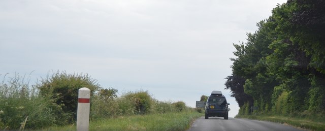
Visitors to Alanbrooke's Plantations can enjoy a range of activities, including walking, cycling, and birdwatching. The forest boasts well-maintained trails that wind through its enchanting scenery, allowing visitors to explore the area at their own pace. Additionally, there are picnic areas and benches scattered throughout the woodland, providing opportunities for relaxation and enjoying the surrounding natural beauty.

In conclusion, Alanbrooke's Plantations in Wiltshire is a captivating woodland area, offering a unique blend of natural wonders and historical significance. It serves as a testament to the area's rich history and provides a tranquil retreat for those seeking to immerse themselves in nature.

If you have any feedback on the listing, please let us know in the comments section below.

Alanbrooke's Plantations Images

Images are sourced within 2km of 51.206501/-1.8386124 or Grid Reference SU1145. Thanks to Geograph Open Source API. All images are credited.

Rollestone crossroads
Rollestone, Military Firing Range On the edge of the Salisbury Plain Training Area - the flag was not flying today.
Rollestone, Military Firing Range
On the edge of the Salisbury Plain Training Area - the flag was not flying today.
Robin Hood's Ball, Wiltshire Old tank track markers in the vicinity of Robin Hood's Ball, to the southern side of the Royal Aircraft Establishment.
Robin Hood's Ball, Wiltshire
Old tank track markers in the vicinity of Robin Hood's Ball, to the southern side of the Royal Aircraft Establishment.
Wood's Butt, Wiltshire Looking north along a track running north/south to the eastern edge of Wood's Butt. This area is within the Westdown Artillery Range and is only accessible when the red danger flags are not flying.
Wood's Butt, Wiltshire
Looking north along a track running north/south to the eastern edge of Wood's Butt. This area is within the Westdown Artillery Range and is only accessible when the red danger flags are not flying.
Gate, Rollestone Camp Off the road to the Bustard Inn.
Gate, Rollestone Camp
Off the road to the Bustard Inn.
B3086 The B3086 is a short road on the edge of Salisbury Plain. It runs 3 miles from Airman's Corner to Shrewton.
B3086
The B3086 is a short road on the edge of Salisbury Plain. It runs 3 miles from Airman's Corner to Shrewton.
Old Milestone, B3086, near Rollestone Camp, Rollestone The milestone is located 200m south of the junction with the road to Bustard, on the verge on the west side of the road. Parish of Shrewton (Salisbury District). Metal plate attached to stone post, Salisbury plate design, erected by the Fisherton, Wilton, Heytesbury, Willoughby Hedge & Redhone turnpike trust in the 19th century. 

Inscription reads:-
SALISBURY
10
DEVIZES
13 
Large carved benchmark front centre lower.

Grade II listed. List Entry Number: 1284782
<span class="nowrap"><a title="https://historicengland.org.uk/listing/the-list/list-entry/1284782" rel="nofollow ugc noopener" href="https://historicengland.org.uk/listing/the-list/list-entry/1284782">Link</a><img style="margin-left:2px;" alt="External link" title="External link - shift click to open in new window" src="https://s1.geograph.org.uk/img/external.png" width="10" height="10"/></span>

Milestone Society National ID: WI_DZSA13
Old Milestone, B3086, near Rollestone Camp, Rollestone
The milestone is located 200m south of the junction with the road to Bustard, on the verge on the west side of the road. Parish of Shrewton (Salisbury District). Metal plate attached to stone post, Salisbury plate design, erected by the Fisherton, Wilton, Heytesbury, Willoughby Hedge & Redhone turnpike trust in the 19th century. Inscription reads:- SALISBURY 10 DEVIZES 13 Large carved benchmark front centre lower. Grade II listed. List Entry Number: 1284782 LinkExternal link Milestone Society National ID: WI_DZSA13
B3086 The Packway Westwards towards Maddington and Shrewton.
B3086 The Packway
Westwards towards Maddington and Shrewton.
Trucks near Rollestone Camp. A view looking north along the road to The Bustard public house, with a group of Army logistics vehicles parked in an assembly area at right. The fence at left marks the perimeter of Rollestone Camp.
Trucks near Rollestone Camp.
A view looking north along the road to The Bustard public house, with a group of Army logistics vehicles parked in an assembly area at right. The fence at left marks the perimeter of Rollestone Camp.
Larkhill: the post office and neighbours Larkhill's post office, along with its other main facilities, is in a parade of shops in The Packway, the main road through the village.
Larkhill: the post office and neighbours
Larkhill's post office, along with its other main facilities, is in a parade of shops in The Packway, the main road through the village.
Larkhill: postbox № SP4 380, The Packway This postbox, a relatively rare survival of the shortlived 1970s 'Type G' square design, stands outside the post office (see <a href="https://www.geograph.org.uk/photo/2831521">SU1244 : Larkhill: the post office and neighbours</a>). It is emptied finally at 4:30 on weekday afternoons and at 11 o'clock on Saturday mornings.
Larkhill: postbox № SP4 380, The Packway
This postbox, a relatively rare survival of the shortlived 1970s 'Type G' square design, stands outside the post office (see SU1244 : Larkhill: the post office and neighbours). It is emptied finally at 4:30 on weekday afternoons and at 11 o'clock on Saturday mornings.
Larkhill - Evening light as seen from near The Cursus
The Packway
The Packway
The Packway
The Packway
Track, downland and plantation, Netheravon Off the byway near the northern end of the Larkhill point-to-point course.
Track, downland and plantation, Netheravon
Off the byway near the northern end of the Larkhill point-to-point course.
Track and downland, Netheravon A crossroads of byways and the adjacent flagpole used to indicate when the danger area is out of bounds.
Track and downland, Netheravon
A crossroads of byways and the adjacent flagpole used to indicate when the danger area is out of bounds.
Bruce Tigwell competing in the Southern Hillrally, 1996 Bruce Tigwell's car is carrying the number 1, having won the event in 1995. Larkhill racecourse can be seen in the background. Thanks to everyone who helped me to identify the date and location of this photograph.
Bruce Tigwell competing in the Southern Hillrally, 1996
Bruce Tigwell's car is carrying the number 1, having won the event in 1995. Larkhill racecourse can be seen in the background. Thanks to everyone who helped me to identify the date and location of this photograph.
Larkhill Self propelled guns at Larkhill.
Larkhill
Self propelled guns at Larkhill.
Show me another place!

Alanbrooke's Plantations is located at Grid Ref: SU1145 (Lat: 51.206501, Lng: -1.8386124)

Unitary Authority: Wiltshire

Police Authority: Wiltshire

What 3 Words

///princely.exclusive.passions. Near Lark Hill, Wiltshire

Nearby Locations

Alanbrooke's Plantations

Related Wikis

Robin Hood's Ball

Robin Hood’s Ball is a Neolithic causewayed enclosure on Salisbury Plain in Wiltshire, England, approximately 5 miles (8 km) northwest of the town of Amesbury...

Larkhill

Larkhill is a garrison town in the civil parish of Durrington, Wiltshire, England. It lies about 1+3⁄4 miles (2.8 km) west of the centre of Durrington...

Stonehenge Cursus

The Stonehenge Cursus (sometimes known as the Greater Cursus) is a large Neolithic cursus monument on Salisbury plain, near to Stonehenge in Wiltshire...

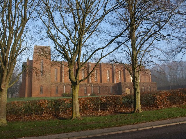
Garrison Church of St Alban the Martyr, Larkhill

The Garrison Church of St Alban the Martyr is a Church of England church in Larkhill, Wiltshire, England. == History == The garrison church, dedicated...

Cursus Barrows

The Cursus Barrows is the name given to a Neolithic and Bronze Age round barrow cemetery lying mostly south of the western end of the Stonehenge Cursus...

A344 road (England)

The A344 was an A road in the English county of Wiltshire. Until 2013 it ran from its junction with the A303 at Stonehenge, northwest to its junction with...

Heelstone Ditch

Heelstone Ditch is a roughly circular feature surrounding the Heel Stone at Stonehenge. It is not known if there was an intended relationship between the...

Stonehenge Landscape

The Stonehenge Landscape is a property of The National Trust, located on Salisbury Plain in Wiltshire, England. The estate (formerly known as Stonehenge...

Have you been to Alanbrooke's Plantations?

Leave your review of Alanbrooke's Plantations below (or comments, questions and feedback).