Butsfieldburn Wood
Wood, Forest in Durham
England
Butsfieldburn Wood
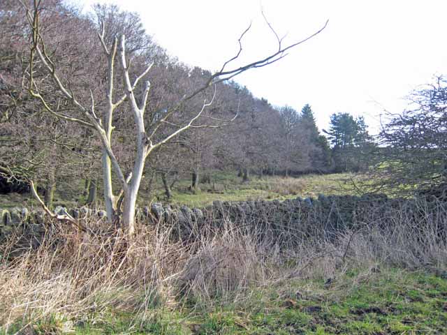
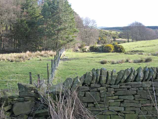
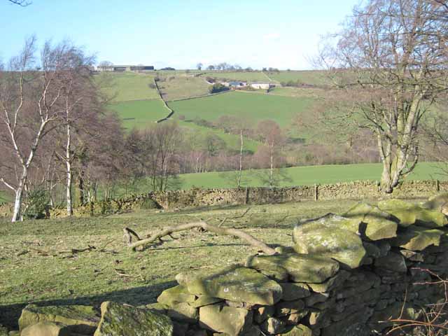
Butsfieldburn Wood is a picturesque woodland located in County Durham, England. Covering an area of approximately 100 acres, this ancient forest is home to a diverse array of plant and animal species. The wood is primarily made up of oak, ash, and birch trees, which provide a lush canopy overhead.
Visitors to Butsfieldburn Wood can enjoy a peaceful stroll along the well-maintained footpaths that wind through the trees. The woodland is a popular spot for nature lovers, birdwatchers, and photographers, as it offers opportunities to spot wildlife such as deer, squirrels, and a variety of bird species.
In addition to its natural beauty, Butsfieldburn Wood also has historical significance. The wood has been in existence for centuries and has played a role in the local community's history. It is a designated Site of Special Scientific Interest (SSSI) due to its ecological importance.
Overall, Butsfieldburn Wood is a tranquil and enchanting destination for those looking to escape the hustle and bustle of everyday life and immerse themselves in the beauty of nature.
If you have any feedback on the listing, please let us know in the comments section below.
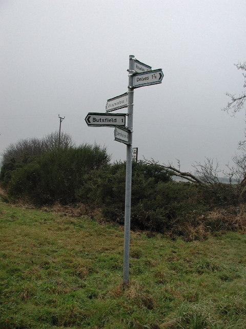
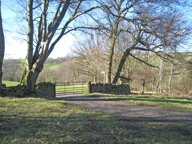
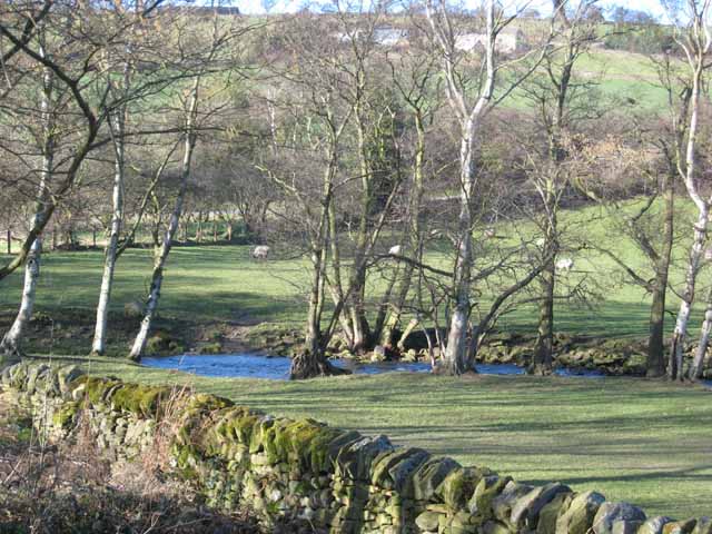
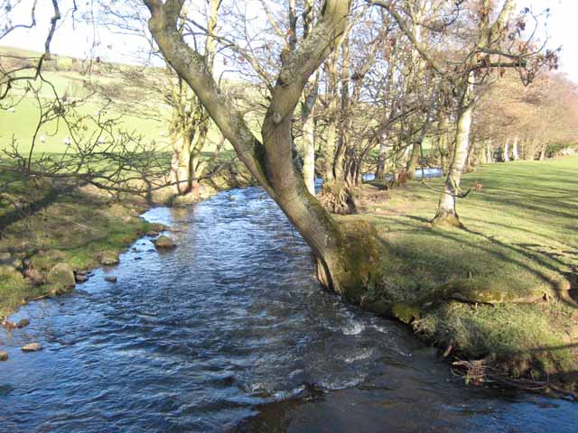
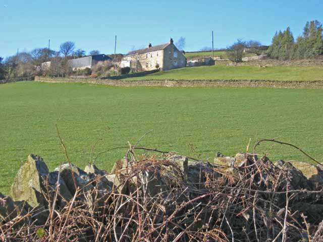
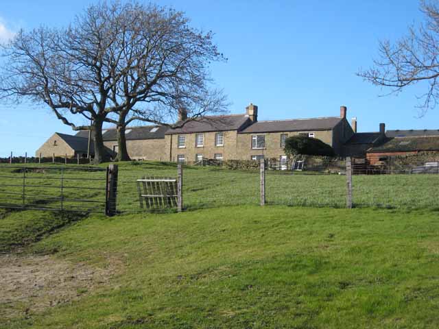
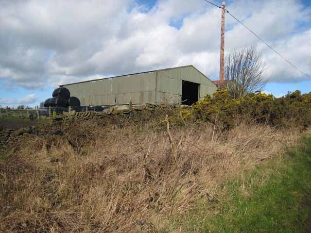
Butsfieldburn Wood Images
Images are sourced within 2km of 54.798393/-1.8288864 or Grid Reference NZ1144. Thanks to Geograph Open Source API. All images are credited.
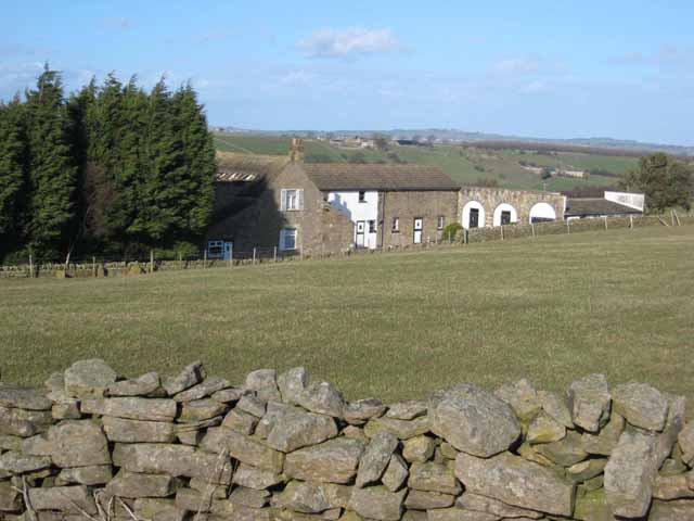
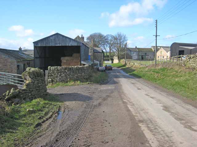
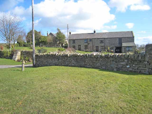
Butsfieldburn Wood is located at Grid Ref: NZ1144 (Lat: 54.798393, Lng: -1.8288864)
Unitary Authority: County Durham
Police Authority: Durham
What 3 Words
///leopard.snowboard.gravy. Near Castleside, Co. Durham
Nearby Locations
Related Wikis

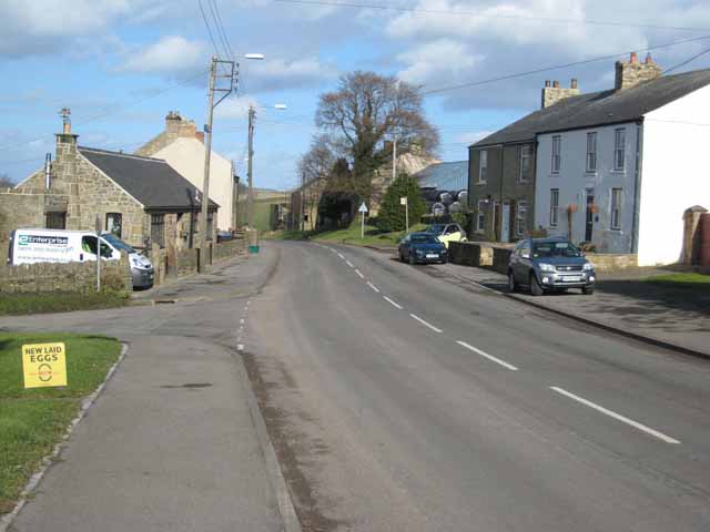
Butsfield
Butsfield is a village in County Durham, England. It is situated a few miles to the south of Consett, near the village of Satley. Butsfield Burn Farm is...

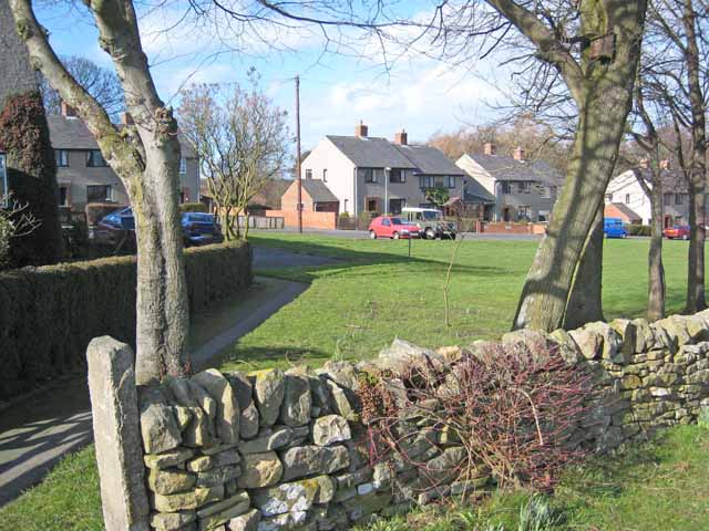
Satley
Satley is a village and civil parish in County Durham, England, with a population of 292 in 2001, falling to 282 at the 2011 Census. It is situated six...
Hall Hill Farm
Hall Hill Farm is a tourist attraction located in County Durham, near Tow Law, England. == History == Ann Darlington is the current tourism manager at...
Murder of Harry Collinson
The murder of Harry Collinson, the planning officer for Derwentside District Council, occurred on 20 June 1991 at Butsfield, County Durham, England. At...
Nearby Amenities
Located within 500m of 54.798393,-1.8288864Have you been to Butsfieldburn Wood?
Leave your review of Butsfieldburn Wood below (or comments, questions and feedback).