Burnlea Row Wood

Wood, Forest in Durham

England

Burnlea Row Wood

Bracken Hill Plantation bounded by dry stone wall The wall bounds the southern side of the Bracken Hill Plantation with mainly birch trees on its far side. The purpose of the crudely made concrete blocks in the foreground is unknown.
Note Added 26 March 2018: - The concrete blocks have gone - no sign of them on a visit made 24 March 2018.
Bracken Hill Plantation bounded by dry stone wall Credit: Trevor Littlewood

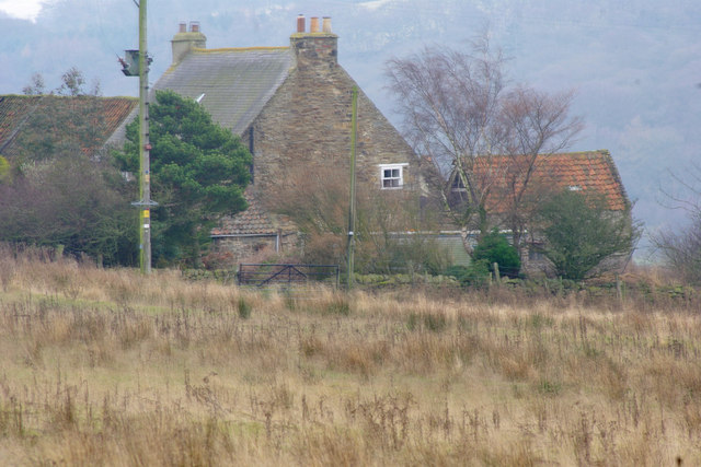
Burnlea Row Wood is a small but picturesque woodland located in Durham, England. Covering an area of approximately 5 acres, this forested area is situated near the village of Burnlea Row, hence its name. The woodland is easily accessible and is a popular destination for nature enthusiasts and walkers.

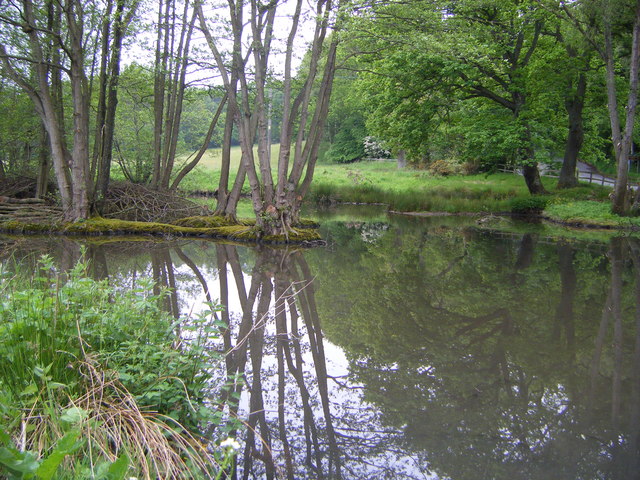
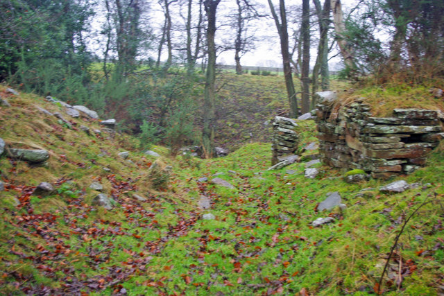
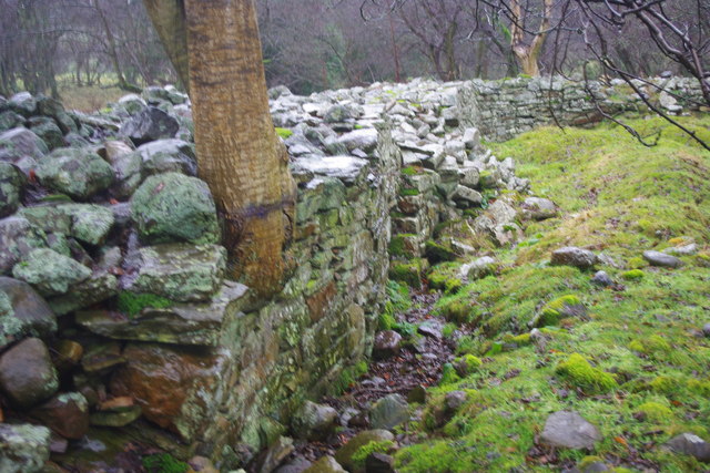
The wood is predominantly composed of native broadleaf trees, including oak, birch, and beech. These trees create a dense canopy, providing shade and shelter for a diverse range of wildlife. The forest floor is covered in a thick layer of leaf litter and moss, creating a damp and fertile environment. This attracts a variety of flora, such as bluebells and wild garlic, which bloom in the spring.

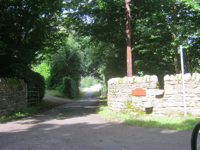
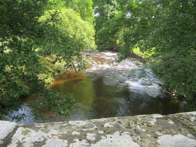
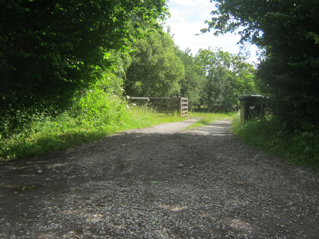
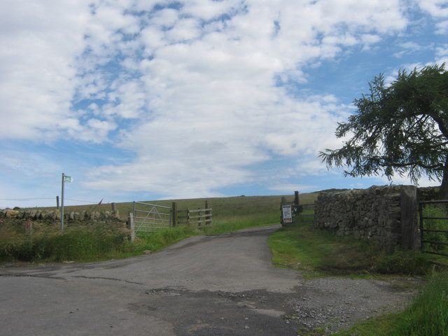
A network of footpaths winds through the wood, allowing visitors to explore its beauty at their leisure. These paths meander through the trees, crossing over small streams and offering glimpses of the surrounding countryside. Along the way, walkers may encounter various species of birds, including woodpeckers and owls, as well as small mammals such as squirrels and rabbits.

Burnlea Row Wood is also home to a small pond, teeming with aquatic life. Frogs, newts, and dragonflies can often be spotted around its edges, while the water itself provides a habitat for various species of fish and insects.

Overall, Burnlea Row Wood is a tranquil and enchanting woodland, offering a peaceful retreat from the busyness of everyday life. Its natural beauty and abundant wildlife make it a cherished part of the local landscape.

If you have any feedback on the listing, please let us know in the comments section below.

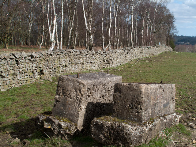
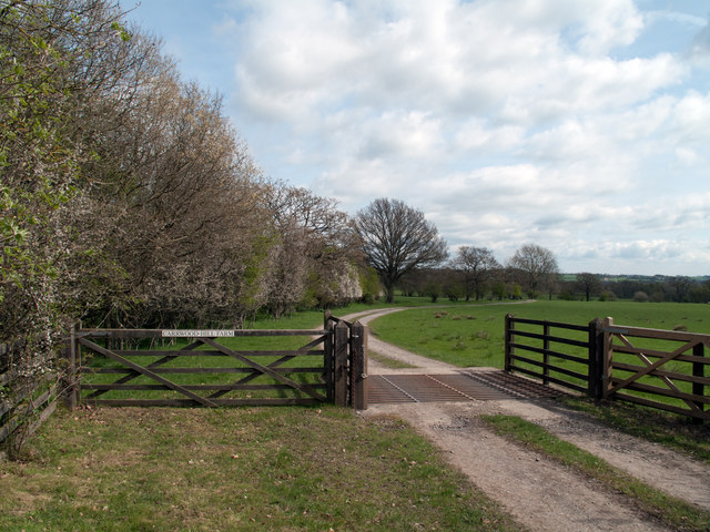
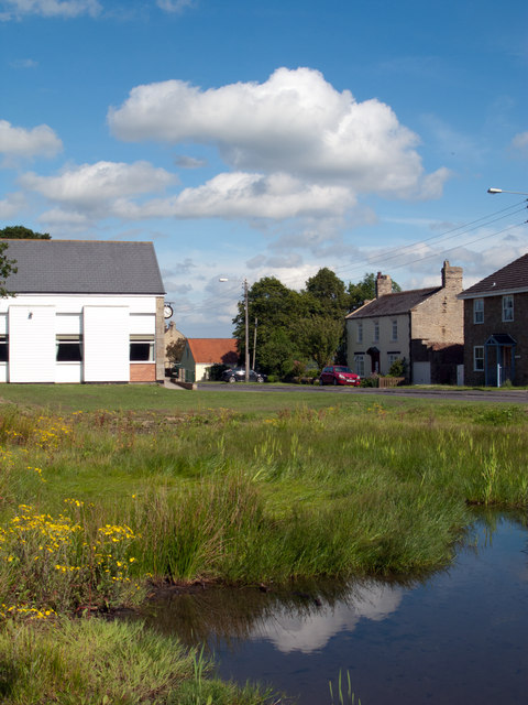
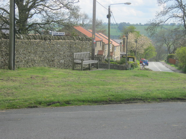
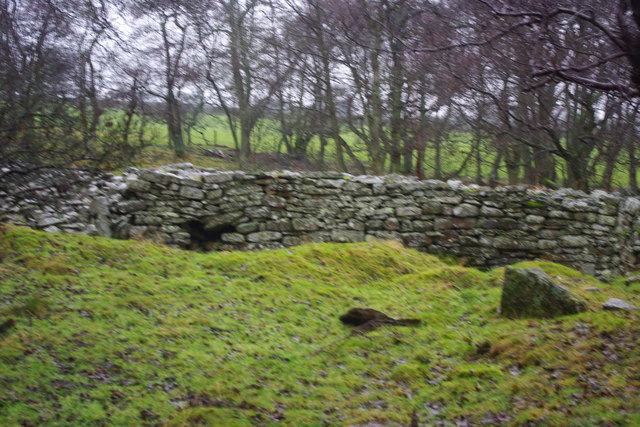
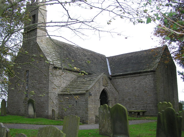
Burnlea Row Wood Images

Images are sourced within 2km of 54.688848/-1.8296571 or Grid Reference NZ1132. Thanks to Geograph Open Source API. All images are credited.

Bracken Hill Plantation bounded by dry stone wall The wall bounds the southern side of the Bracken Hill Plantation with mainly birch trees on its far side. The purpose of the crudely made concrete blocks in the foreground is unknown.
Note Added 26 March 2018: - The concrete blocks have gone - no sign of them on a visit made 24 March 2018.
Bracken Hill Plantation bounded by dry stone wall
The wall bounds the southern side of the Bracken Hill Plantation with mainly birch trees on its far side. The purpose of the crudely made concrete blocks in the foreground is unknown. Note Added 26 March 2018: - The concrete blocks have gone - no sign of them on a visit made 24 March 2018.
West Shipley Farm West Shipley Farm lies over 200m above sea level standing on land named by the OS at the 1:25 000 scale as West Shipley Wood. The ground in view not far beyond is classed as access land.
West Shipley Farm
West Shipley Farm lies over 200m above sea level standing on land named by the OS at the 1:25 000 scale as West Shipley Wood. The ground in view not far beyond is classed as access land.
Access road for Carrwood Hill Farm The access road for Carrwood Hill Farm leaves a minor road, Howlea Lane, above the valley of Harthope Beck.
Access road for Carrwood Hill Farm
The access road for Carrwood Hill Farm leaves a minor road, Howlea Lane, above the valley of Harthope Beck.
Hamsterley; pond and village hall. The white building at the left side of the image is Hamsterley Village Hall; the pond is small and rather overgrown.
Hamsterley; pond and village hall.
The white building at the left side of the image is Hamsterley Village Hall; the pond is small and rather overgrown.
Seat overlooking Hamsterley village green
Entrance to Hamsterley Primary School
Rose Cottage in Hamsterley
Farmhouse at Coronation Farm
Tennis courts just west of Hamsterley
Bedburn mill pond
Bedburn mill pond
Entrance to New Hall Caravan Park from Howlea Lane
Bedburn Beck east of Howlea Bridge
Entrance to Carrwood Hill Farm from Howlea Lane
Entrance to drive to High Shipley Farm from Howlea Lane
High Burnlea Farm
High Burnlea Farm
The Gateway Stone fort in county Durham near Hamsterley.
The Castles is a massive rectangular dry stone enclosure 75 metres by 90 metres. No one knows whether it is an Iron Age fort or a Roman penal colony.
The Gateway
Stone fort in county Durham near Hamsterley. The Castles is a massive rectangular dry stone enclosure 75 metres by 90 metres. No one knows whether it is an Iron Age fort or a Roman penal colony.
The Castles The north wall
The Castles
The north wall
The Castles East wall of The Castles
The Castles
East wall of The Castles
Show me another place!

Burnlea Row Wood is located at Grid Ref: NZ1132 (Lat: 54.688848, Lng: -1.8296571)

Unitary Authority: County Durham

Police Authority: Durham

What 3 Words

///mull.porridge.stopped. Near Hamsterley, Co. Durham

Related Wikis

Bedburn

Bedburn is a village in County Durham, in England. It is in the civil parish of South Bedburn, near Hamsterley, and Hamsterley Forest. The Bedburn Beck...

South Bedburn

South Bedburn is a civil parish in County Durham, England. The population of the civil parish at the 2011 census was 171. == References == == External... ==

Hamsterley, Bishop Auckland

Hamsterley is a village in County Durham, England. It is situated a few miles west of Bishop Auckland. The village lies on a rise above the upper reaches...

Bedburn Beck

Bedburn Beck is a 16.8 kilometres (10.4 mi) long, upper tributary of the River Wear in County Durham, England. The beck and its tributaries, including...

Nearby Amenities

Located within 500m of 54.688848,-1.8296571
High Burnlea
Place: isolated_dwelling
Source Name: OS_OpenData_StreetView
Lat/Long: 54.691452/-1.8297654
Barrier: cattle_grid
Lat/Long: 54.6872707/-1.8244171
The data included in this document is from www.openstreetmap.org. The data is made available under ODbL.

Have you been to Burnlea Row Wood?

Leave your review of Burnlea Row Wood below (or comments, questions and feedback).