Barton Larches

Wood, Forest in Gloucestershire Cotswold

England

Barton Larches

Path to Guiting Power The path is climbing out of a small river valley.
Path to Guiting Power Credit: Bill Boaden

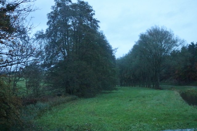
Barton Larches is a picturesque woodland area located in Gloucestershire, England. Renowned for its beautiful scenery and lush greenery, this enchanting forest is a haven for nature lovers and outdoor enthusiasts. The wood is situated near the village of Barton, and covers an area of approximately 100 acres.

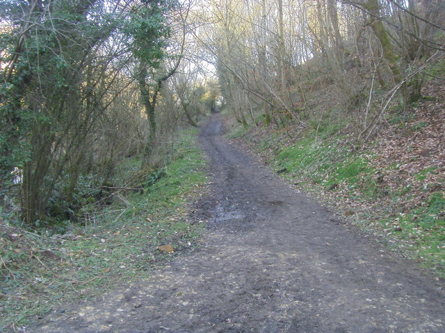
Barton Larches is characterized by its dense population of larch trees, which give the woodland its name. These majestic conifers create a stunning backdrop, particularly during the autumn months when their needles turn a vibrant golden color before falling to the forest floor. The wood is also home to a diverse range of other tree species, including oak, beech, and birch, adding to its natural beauty and providing a habitat for numerous wildlife species.

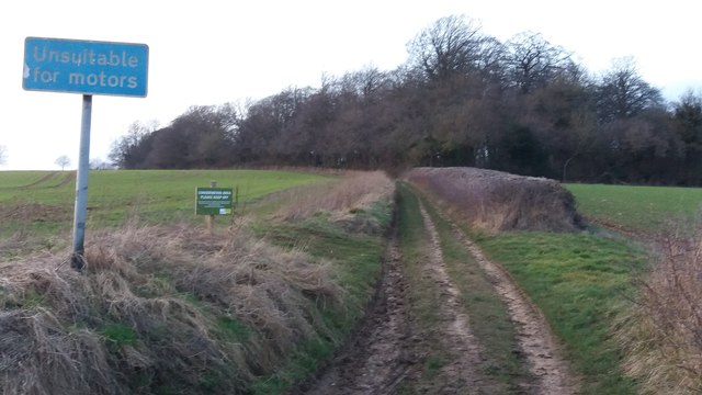
Visitors to Barton Larches can enjoy a variety of recreational activities. The forest features several walking trails, allowing individuals to explore its serene surroundings and discover its hidden gems. Birdwatchers will delight in the abundance of avian species that can be spotted amongst the treetops, while photographers will find endless opportunities to capture breathtaking shots of the flora and fauna.

In addition to its natural attractions, Barton Larches also holds historical significance. The wood was once part of a larger estate, and remnants of ancient stone walls and pathways can still be found within its boundaries. These archaeological features offer a glimpse into the area's past and add an extra layer of intrigue to the overall experience.

Overall, Barton Larches is a captivating woodland retreat that showcases the beauty of Gloucestershire's natural landscape. With its rich biodiversity, scenic trails, and historical remnants, this forest is a must-visit destination for those seeking tranquility and a deeper connection with nature.

If you have any feedback on the listing, please let us know in the comments section below.

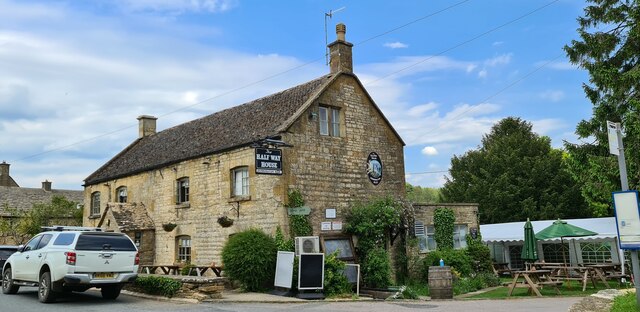
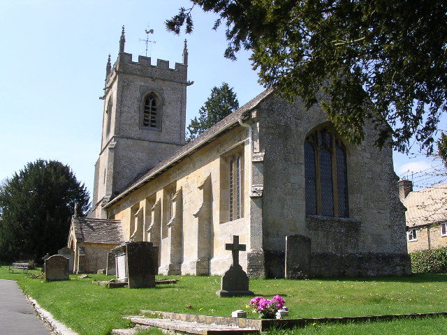
Barton Larches Images

Images are sourced within 2km of 51.932008/-1.8405213 or Grid Reference SP1125. Thanks to Geograph Open Source API. All images are credited.

Path to Guiting Power The path is climbing out of a small river valley.
Path to Guiting Power
The path is climbing out of a small river valley.
The Wardens' Way leaving Guiting Power This is the end of a dead-end residential road.
The Wardens' Way leaving Guiting Power
This is the end of a dead-end residential road.
Warden's Way Warden's Way heading to Guiting Power
Warden's Way
Warden's Way heading to Guiting Power
The Farmers Arms
The Farmers Arms
Half Way House, Kineton The red phone box is in particularly good condition including all the lighting.
Half Way House, Kineton
The red phone box is in particularly good condition including all the lighting.
Guiting Power
Guiting Power
Guiting Power The road north to Barton, none appear to have names.
Guiting Power
The road north to Barton, none appear to have names.
Unsuitable for Motors Unsuitable for Motors the track from Critchford Lane heading to Sheephouse Barn
Unsuitable for Motors
Unsuitable for Motors the track from Critchford Lane heading to Sheephouse Barn
Half Way House, Keneton
Quarries in the Cotswolds In the farming landscape between Barton and the Slaughters.
Quarries in the Cotswolds
In the farming landscape between Barton and the Slaughters.
Houses in Barton
Houses in Barton
The entrance to Huntsman's Quarry The road is lined with quarries, being in the middle of the Cotswolds.
The entrance to Huntsman's Quarry
The road is lined with quarries, being in the middle of the Cotswolds.
The entrance to Huntsman's Quarry
Autumn leaves in the Cotswolds The roads seem to have few names and it's not near any named settlements.
Autumn leaves in the Cotswolds
The roads seem to have few names and it's not near any named settlements.
Avenue of trees by the River Windrush
Poppy flowers Poppy flowers in a crop of oilseed rape beyond the bright yellow flowers with the seed pods setting.
Poppy flowers
Poppy flowers in a crop of oilseed rape beyond the bright yellow flowers with the seed pods setting.
Poppy flowers Poppy flowers in a crop of oilseed rape beyond the bright yellow flowers with the seed pods setting.
Poppy flowers
Poppy flowers in a crop of oilseed rape beyond the bright yellow flowers with the seed pods setting.
Stone Stile, Guiting Power GS2802 Not on a registered footpath, this step stile leads across a large lawn belonging to "the Old Manor". The lawn has a visible ringed ditch believed to be the much gentrified remains of a barrow. The view looking down on the steps is <a href="https://www.geograph.org.uk/photo/7372947">SP0924 : Stone Stile, Guiting Power GS2802</a>.
Stone Stile, Guiting Power GS2802
Not on a registered footpath, this step stile leads across a large lawn belonging to "the Old Manor". The lawn has a visible ringed ditch believed to be the much gentrified remains of a barrow. The view looking down on the steps is SP0924 : Stone Stile, Guiting Power GS2802.
Show me another place!

Barton Larches is located at Grid Ref: SP1125 (Lat: 51.932008, Lng: -1.8405213)

Administrative County: Gloucestershire

District: Cotswold

Police Authority: Gloucestershire

What 3 Words

///river.dorm.abundance. Near Westfield, Gloucestershire

Nearby Locations

Barton Larches

Related Wikis

Nearby Amenities

Located within 500m of 51.932008,-1.8405213
Archaeological Site: tumulus
Historic: archaeological_site
Source: NPE
Lat/Long: 51.9348576/-1.8389093
Archaeological Site: tumulus
Historic: archaeological_site
Source: NPE
Lat/Long: 51.9341167/-1.8391453
Archaeological Site: tumulus
Historic: archaeological_site
Source: NPE
Lat/Long: 51.9346062/-1.8354761
The data included in this document is from www.openstreetmap.org. The data is made available under ODbL.

Have you been to Barton Larches?

Leave your review of Barton Larches below (or comments, questions and feedback).