Coronation Covert

Wood, Forest in Gloucestershire Cotswold

England

Coronation Covert

The Diamond Way and Gloucestershire Way To the west of Notgrove the two long distance paths converge here for a short distance. In the valley bottom the Gloucestershire Way turns right.
The Diamond Way and Gloucestershire Way Credit: Philip Halling

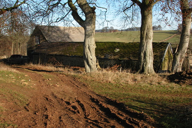
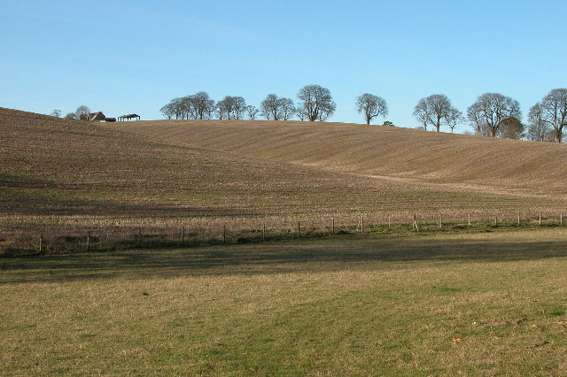
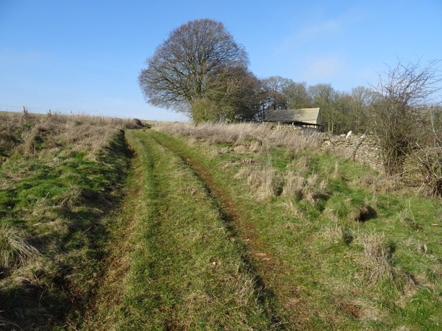
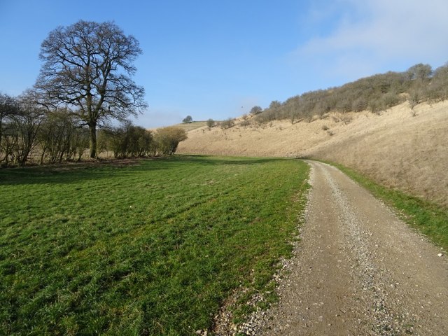
Coronation Covert is a small woodland located in Gloucestershire, England. Situated in the heart of the Forest of Dean, it covers an area of approximately 20 acres and is known for its rich biodiversity and scenic beauty. The woodland is easily accessible, with a well-maintained footpath leading visitors through its enchanting trails.

The forest is predominantly composed of native broadleaf trees such as oak, beech, and birch, which create a dense canopy that provides shade and shelter for a variety of wildlife. Some of the common species found here include badgers, foxes, deer, and a wide variety of birds, making it a popular spot for nature enthusiasts and birdwatchers.

Coronation Covert offers a peaceful and tranquil environment, making it an ideal place for walking, picnicking, or simply enjoying the serenity of nature. The woodland is well-preserved, with minimal human intervention, allowing visitors to experience the natural beauty of the forest in its purest form.

Additionally, there are several designated viewpoints within the woodland that offer breathtaking views of the surrounding landscape, including the rolling hills and meandering streams that are characteristic of the Forest of Dean.

Overall, Coronation Covert is a hidden gem within Gloucestershire, offering a haven for both wildlife and humans alike. Its diverse ecosystem and picturesque surroundings make it a must-visit destination for anyone seeking a peaceful retreat in the heart of nature.

If you have any feedback on the listing, please let us know in the comments section below.

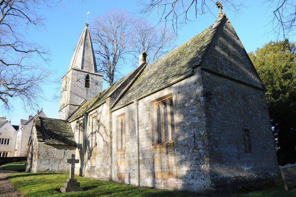
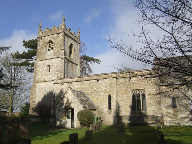
Coronation Covert Images

Images are sourced within 2km of 51.873191/-1.8412375 or Grid Reference SP1119. Thanks to Geograph Open Source API. All images are credited.

The Diamond Way and Gloucestershire Way To the west of Notgrove the two long distance paths converge here for a short distance. In the valley bottom the Gloucestershire Way turns right.
The Diamond Way and Gloucestershire Way
To the west of Notgrove the two long distance paths converge here for a short distance. In the valley bottom the Gloucestershire Way turns right.
Downs Barn At the time of my visit the old barns are used to store large bales of straw.

I returned to photograph this same barn eight years later, by when it was beginning to show signs of neglect <a href="https://www.geograph.org.uk/photo/3793483">SP0918 : Downs Barn</a>.
Downs Barn
At the time of my visit the old barns are used to store large bales of straw. I returned to photograph this same barn eight years later, by when it was beginning to show signs of neglect SP0918 : Downs Barn.
Track along a valley to the west of Turkdean The Diamond Way passes along this valley.
Track along a valley to the west of Turkdean
The Diamond Way passes along this valley.
Farhill Farm Farhill farm is situated between the villages of Salperton and Notgrove, the Gloucestershire passes through this farm and joins the Diamond way at the point from where this picture is taken.
Farhill Farm
Farhill farm is situated between the villages of Salperton and Notgrove, the Gloucestershire passes through this farm and joins the Diamond way at the point from where this picture is taken.
Downs Barn 13 years after my first visit I first photographed this barn in December 2005 <a href="https://www.geograph.org.uk/photo/92993">SP0918 : Downs Barn</a>, returning again eight years later in December 2013 <a href="https://www.geograph.org.uk/photo/3793483">SP0918 : Downs Barn</a>.  Here is the same scene again just over five years later in February 2019, recording further dilapidation with the roof in a greater state of collapse.  The beech trees are still there however a pile of local stone has appeared since my last visit.  I commented in December 2013 I was surprised that one else had visited this grid square, I am even more so now, almost fourteen years since the founding of the Geograph website and still no one else other than me has recorded this square.
Downs Barn 13 years after my first visit
I first photographed this barn in December 2005 SP0918 : Downs Barn, returning again eight years later in December 2013 SP0918 : Downs Barn. Here is the same scene again just over five years later in February 2019, recording further dilapidation with the roof in a greater state of collapse. The beech trees are still there however a pile of local stone has appeared since my last visit. I commented in December 2013 I was surprised that one else had visited this grid square, I am even more so now, almost fourteen years since the founding of the Geograph website and still no one else other than me has recorded this square.
Downs Barn I first photographed this barn in December 2005 <a href="https://www.geograph.org.uk/photo/92993">SP0918 : Downs Barn</a>, returning again eight years later in December 2013.  Here is the same scene again just over five years later in February 2019, recording further dilapidation with the roof in a greater state of collapse.
Downs Barn
I first photographed this barn in December 2005 SP0918 : Downs Barn, returning again eight years later in December 2013. Here is the same scene again just over five years later in February 2019, recording further dilapidation with the roof in a greater state of collapse.
Downs Barn Downs Barn viewed from the south, I have photographed these barns for the last fourteen years, they appear neglected and deteriorating.
Downs Barn
Downs Barn viewed from the south, I have photographed these barns for the last fourteen years, they appear neglected and deteriorating.
Footpath passing Downs Barn Footpath and track passing Downs Barn in a Cotswold valley.
Footpath passing Downs Barn
Footpath and track passing Downs Barn in a Cotswold valley.
Track approaching Downs Barn A track climbing out of a Cotswold valley and approaching Downs Barn which is just visible on the right.
Track approaching Downs Barn
A track climbing out of a Cotswold valley and approaching Downs Barn which is just visible on the right.
Game cover This field headland strip in a Cotswold valley is probably planted to provide cover for game birds.
Game cover
This field headland strip in a Cotswold valley is probably planted to provide cover for game birds.
Valley bottom track Track in a valley near Turkdean.  This track has been laid since I last walked this valley just over five years ago.
Valley bottom track
Track in a valley near Turkdean. This track has been laid since I last walked this valley just over five years ago.
Track in a valley bottom Track in a valley bottom near the village of Turkdean.  This track has been laid since I last walked this valley just over five years ago.
Track in a valley bottom
Track in a valley bottom near the village of Turkdean. This track has been laid since I last walked this valley just over five years ago.
Track and horse jump Track and horse jump in a valley near Turkdean.
Track and horse jump
Track and horse jump in a valley near Turkdean.
Track and footpath Track and footpath through a valley near Turkdean.  Stone has been laid on this track since I last walked it just over five years ago <a href="https://www.geograph.org.uk/photo/3793523">SP0917 : Track in a Cotswold valley</a>.
Track and footpath
Track and footpath through a valley near Turkdean. Stone has been laid on this track since I last walked it just over five years ago SP0917 : Track in a Cotswold valley.
Track and a footpath Track and a footpath in a Cotswold valley near Turkdean.  The same view as December 2013 <a href="https://www.geograph.org.uk/photo/3816246">SP0917 : Cotswold valley</a> when I last walked this valley, since then the track has been relaid.
Track and a footpath
Track and a footpath in a Cotswold valley near Turkdean. The same view as December 2013 SP0917 : Cotswold valley when I last walked this valley, since then the track has been relaid.
Diamond Way Diamond Way heading alongside Raspberry Brake towards Kitehill Barn
Diamond Way
Diamond Way heading alongside Raspberry Brake towards Kitehill Barn
Country road near Aylworth (1) Heading north towards the village.
Country road near Aylworth (1)
Heading north towards the village.
Country road near Aylworth (2) Heading north-east and about to get rained on.
Country road near Aylworth (2)
Heading north-east and about to get rained on.
Show me another place!

Coronation Covert is located at Grid Ref: SP1119 (Lat: 51.873191, Lng: -1.8412375)

Administrative County: Gloucestershire

District: Cotswold

Police Authority: Gloucestershire

What 3 Words

///winks.galaxy.warms. Near Westfield, Gloucestershire

Related Wikis

Church of St Bartholomew, Notgrove

The Anglican Church of St Bartholomew at Notgrove in the Cotswold District of Gloucestershire, England was built in the 12th century. It is a grade I listed...

Notgrove

Notgrove is a village and civil parish in Gloucestershire, England, approximately 28.5 (17.8 miles) to the east of Gloucester. It lies in the Cotswolds...

Church of St Andrew, Cold Aston

The Anglican St Andrew's Church at Cold Aston in the Cotswold District of Gloucestershire, England was built in the 12th century. It is a grade I listed...

Turkdean

Turkdean is a village and civil parish in Gloucestershire, England, approximately 30 km (19 mi) to the east of Gloucester. It lies in the Cotswolds, an...

Have you been to Coronation Covert?

Leave your review of Coronation Covert below (or comments, questions and feedback).