Broad Carr Plantation

Wood, Forest in Yorkshire Harrogate

England

Broad Carr Plantation

Shooting Track leading onto Raygill House Moor Servicing Wigstone Butts, Long Drag Butts and Raven Scar Butts - all constructed for the shooting of grouse, of which there appeared to be in great numbers on my particular visit.
Shooting Track leading onto Raygill House Moor Credit: Chris Heaton

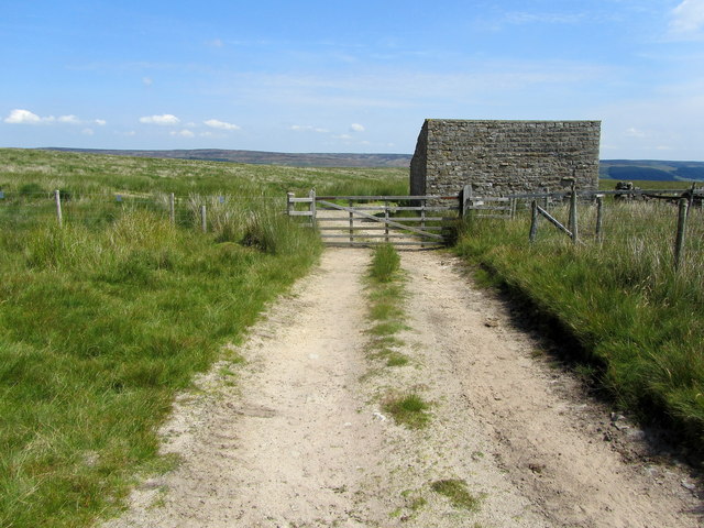
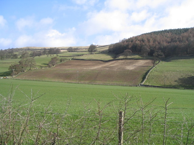
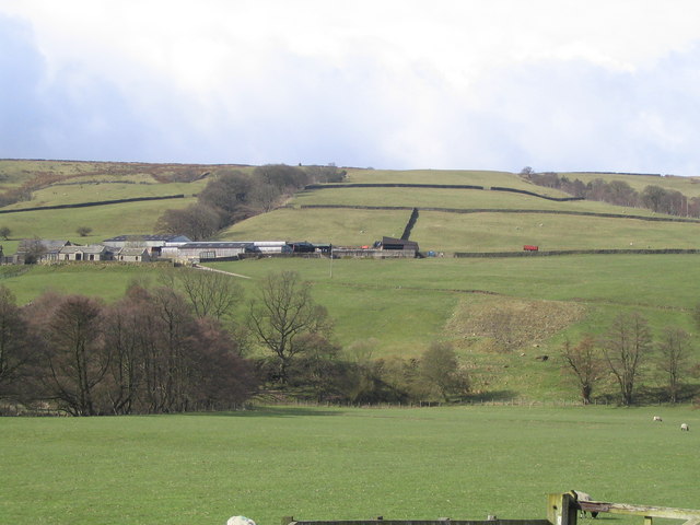
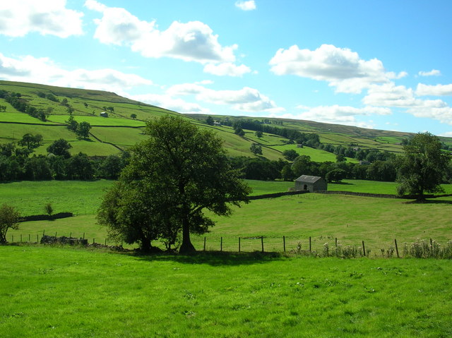
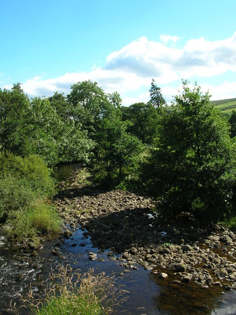
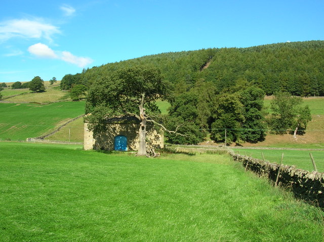
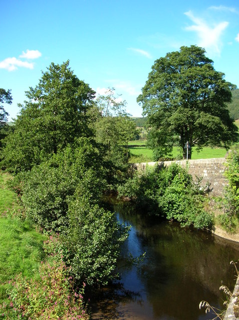
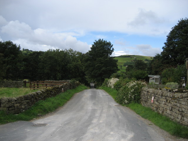
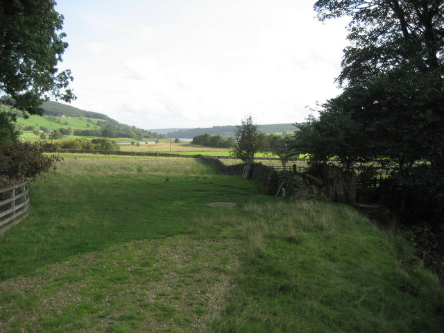
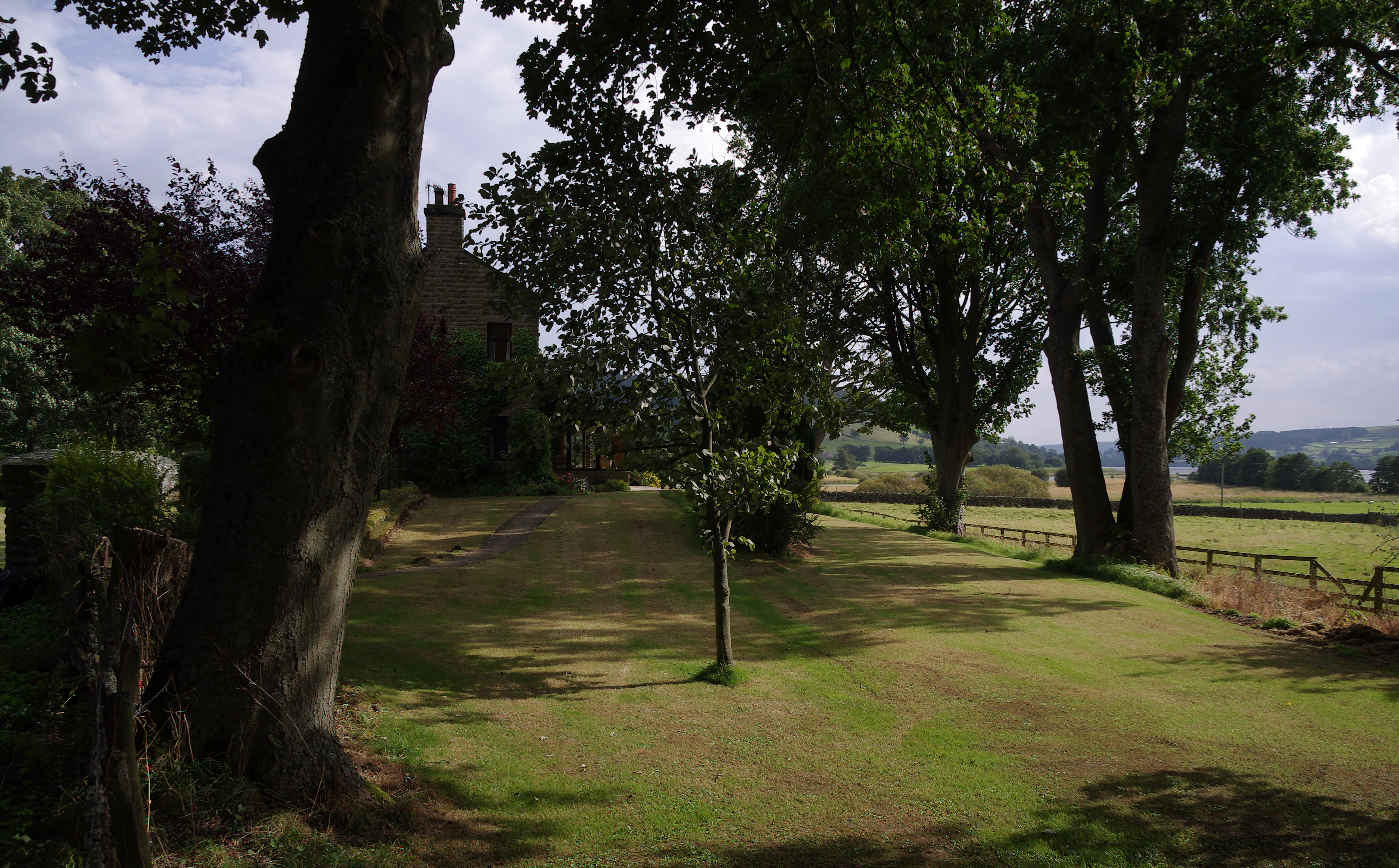
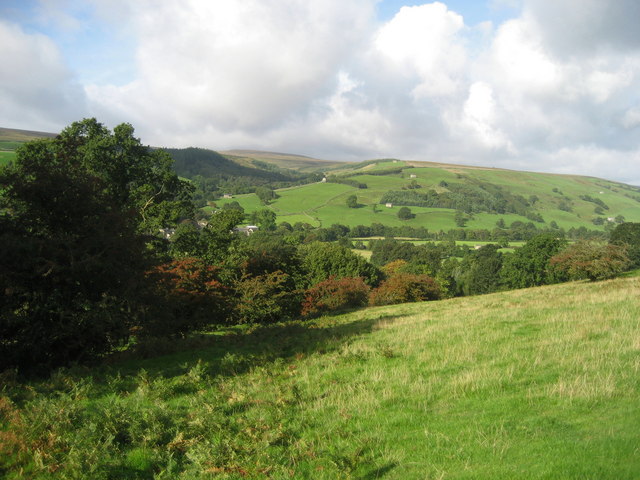
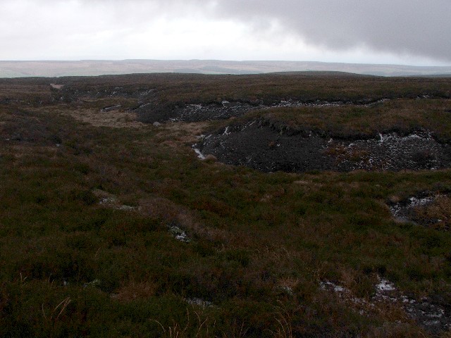
Broad Carr Plantation is a picturesque woodland area located in Yorkshire, England. Covering an expansive area, this plantation is known for its diverse range of tree species and abundant wildlife. The plantation is situated near the village of Wood and is easily accessible from nearby towns and cities.

The woodland is predominantly made up of broadleaf trees, including oak, beech, ash, and birch, which provide a rich and varied habitat for numerous animal species. The plantation is particularly renowned for its vibrant bird population, with species such as the great spotted woodpecker, tawny owl, and song thrush commonly sighted.

Visitors to Broad Carr Plantation can explore the numerous walking trails that meander through the woodland, allowing for a serene and tranquil experience. These trails offer breathtaking views of the surrounding countryside and provide an opportunity to observe the diverse flora and fauna that call the plantation home.

The plantation is managed by local authorities to ensure its preservation and ecological sustainability. Efforts are made to maintain the natural balance of the ecosystem, while also providing recreational opportunities for visitors. Facilities such as picnic areas and benches are available for those who wish to pause and immerse themselves in the tranquil surroundings.

Broad Carr Plantation is a haven for nature enthusiasts, offering a chance to connect with the natural world and escape the hustle and bustle of everyday life. Whether it be for a leisurely stroll, birdwatching, or simply appreciating the beauty of Yorkshire's woodlands, this plantation is a must-visit destination for those seeking a serene and enchanting experience.

If you have any feedback on the listing, please let us know in the comments section below.

Broad Carr Plantation Images

Images are sourced within 2km of 54.135036/-1.8337704 or Grid Reference SE1071. Thanks to Geograph Open Source API. All images are credited.

Shooting Track leading onto Raygill House Moor Servicing Wigstone Butts, Long Drag Butts and Raven Scar Butts - all constructed for the shooting of grouse, of which there appeared to be in great numbers on my particular visit.
Shooting Track leading onto Raygill House Moor
Servicing Wigstone Butts, Long Drag Butts and Raven Scar Butts - all constructed for the shooting of grouse, of which there appeared to be in great numbers on my particular visit.
Moorland Track approaching Washfold Gill
Ramsgill Beck Deep cutting created by Ramsgill Beck as it begins its descent into Nidderdale, to add it's waters to Gouthwaite Reservoir in the valley below.
Ramsgill Beck
Deep cutting created by Ramsgill Beck as it begins its descent into Nidderdale, to add it's waters to Gouthwaite Reservoir in the valley below.
Sheepfold on Bents Back Drive Well established track heading east, before descending towards Upper Nidderdale.
There is no access down to Ramsgill for walkers after about half a mile of passing this sheepfold.
Sheepfold on Bents Back Drive
Well established track heading east, before descending towards Upper Nidderdale. There is no access down to Ramsgill for walkers after about half a mile of passing this sheepfold.
Moorland Track crossing Washfold Gill
Ramsgill Right on the edge of the gridsquare. The Yorke Arms, Ramsgill.
Ramsgill
Right on the edge of the gridsquare. The Yorke Arms, Ramsgill.
Ramsgill Looking north into the centre of the village.
Ramsgill
Looking north into the centre of the village.
The head of Gouthwaite Reservoir A much depleted reservoir in July 2002.
The head of Gouthwaite Reservoir
A much depleted reservoir in July 2002.
Nidderdale Looking North East from road between Ramsgill and Lofthouse
Nidderdale
Looking North East from road between Ramsgill and Lofthouse
West House Farm Fields and Land belonging to the farm taken from entrance to farm
West House Farm
Fields and Land belonging to the farm taken from entrance to farm
Across Nidderdale Taken from the bend in the road, this is the view towards the Nidderdale way from between Lofthouse and Ramsgill.
Across Nidderdale
Taken from the bend in the road, this is the view towards the Nidderdale way from between Lofthouse and Ramsgill.
River Nidd Taken from next to the entrance to West House Farm. The Nidd runs from Scar House reservoir along the Nidd Valley through Patley Bridge and Knaresborough and joins with the River Ouse at Nun Monkton. The confluence is seen here: <a href="https://www.geograph.org.uk/photo/184550">SE5157 : Nun Monkton Priory</a>.
River Nidd
Taken from next to the entrance to West House Farm. The Nidd runs from Scar House reservoir along the Nidd Valley through Patley Bridge and Knaresborough and joins with the River Ouse at Nun Monkton. The confluence is seen here: SE5157 : Nun Monkton Priory.
Barn at Longside Halfway between Ramsgill and Lofthouse.
Barn at Longside
Halfway between Ramsgill and Lofthouse.
Nidd at Ramsgill From the road bridge over the Nidd.
Nidd at Ramsgill
From the road bridge over the Nidd.
Ramsgill Church Standing at the edge of Gouthwaite reservoir.
Ramsgill Church
Standing at the edge of Gouthwaite reservoir.
Marshland at Gouthwaite The amount of visible marsh varies a lot throughout the year with the reservoir. Taken in the middle of summer the reservoir at this end is fairly low, and much land is exposed.
Marshland at Gouthwaite
The amount of visible marsh varies a lot throughout the year with the reservoir. Taken in the middle of summer the reservoir at this end is fairly low, and much land is exposed.
Bouthwaite From the end of the cul-de-sac lane looking down its length towards Ramsgill
Bouthwaite
From the end of the cul-de-sac lane looking down its length towards Ramsgill
Countryside just north of Gouthwaite Reservoir Tranquil fields in Upper Nidderdale. What is interesting about this photograph is that a railway from Scar House once ran down on the left-hand side of the landscape pictured here - little evidence remains today.
Countryside just north of Gouthwaite Reservoir
Tranquil fields in Upper Nidderdale. What is interesting about this photograph is that a railway from Scar House once ran down on the left-hand side of the landscape pictured here - little evidence remains today.
Show me another place!

Broad Carr Plantation is located at Grid Ref: SE1071 (Lat: 54.135036, Lng: -1.8337704)

Division: West Riding

Administrative County: North Yorkshire

District: Harrogate

Police Authority: North Yorkshire

What 3 Words

///dated.times.trapdoor. Near Pateley Bridge, North Yorkshire

Nearby Locations

Broad Carr Plantation

Related Wikis

Yorke Arms

The Yorke Arms is a luxury events venue in Ramsgill, Nidderdale, in the Yorkshire Dales in northern England.The building began life as a shooting lodge...

Ramsgill

Ramsgill is a small village in Nidderdale, North Yorkshire, England, about 2 miles (3.2 km) south-east of Lofthouse, located near Gouthwaite Reservoir...

Ramsgill railway station

Ramsgill railway station was a station on the Nidd Valley Light Railway in Nidderdale in Yorkshire, England. It opened in 1907 and closed in 1930. It was...

Bouthwaite

Bouthwaite is a hamlet in the Harrogate district of North Yorkshire, England. It is situated in Nidderdale, to the north of Pateley Bridge, close to the...

Stonebeck Down

Stonebeck Down is a civil parish in Harrogate district, North Yorkshire, England. The main settlements in the parish are the village of Ramsgill and the...

Lofthouse-in-Nidderdale railway station

Lofthouse-in-Nidderdale railway station was the northernmost regular passenger terminus on the Nidd Valley Light Railway (NVLR), in Lofthouse, then in...

Lofthouse, North Yorkshire

Lofthouse is a small village in Nidderdale in the Harrogate district of North Yorkshire, England about a mile south of Middlesmoor. It is the principal...

How Stean Gorge

How Stean Gorge is a limestone gorge in Nidderdale in North Yorkshire, England. It forms a unit of the Upper Nidderdale Site of Special Scientific Interest...

Nearby Amenities

Located within 500m of 54.135036,-1.8337704
Barrier: cattle_grid
Lat/Long: 54.1308361/-1.8322882
Place: farm
Lat/Long: 54.1307182/-1.8317273
Power: pole
Lat/Long: 54.130685/-1.8347368
Power: pole
Lat/Long: 54.1314783/-1.8351951
Power: pole
Lat/Long: 54.1317115/-1.835313
The data included in this document is from www.openstreetmap.org. The data is made available under ODbL.

Have you been to Broad Carr Plantation?

Leave your review of Broad Carr Plantation below (or comments, questions and feedback).