Bibsworth Covert
Wood, Forest in Worcestershire Wychavon
England
Bibsworth Covert
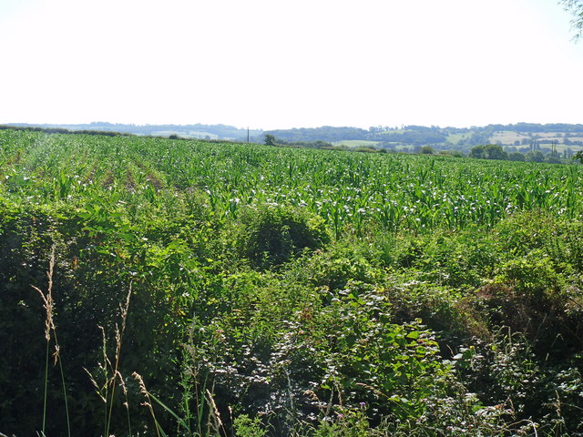
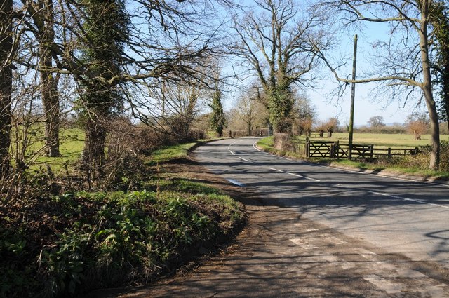
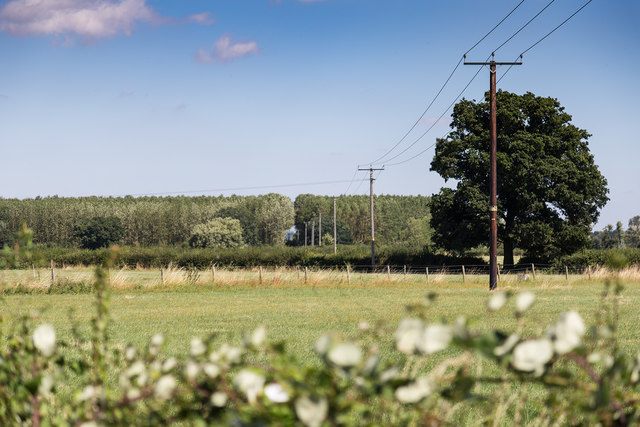
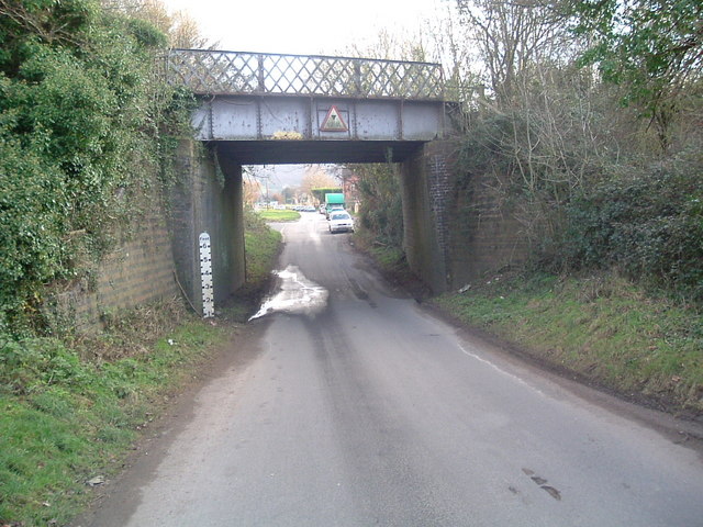
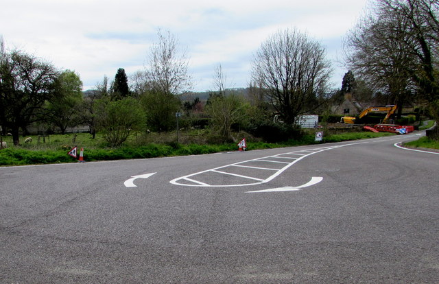
Bibsworth Covert is a tranquil woodland located in Worcestershire, England. Situated in the heart of the county, it is known for its natural beauty and dense forest cover. Spanning over a vast area, Bibsworth Covert offers a serene escape from the bustling city life, attracting nature enthusiasts, hikers, and photographers alike.
The woodland is characterized by its diverse range of tree species, including oak, beech, and ash, which create a lush green canopy above the forest floor. The dense undergrowth is home to a variety of flora, such as bluebells, ferns, and wild garlic, adding to the enchanting atmosphere of the Covert.
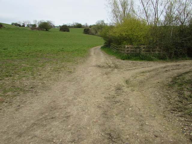
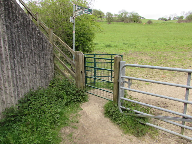
Several well-maintained footpaths wind their way through Bibsworth Covert, providing visitors with the opportunity to explore the woodland's hidden gems. The paths lead to secluded clearings, babbling brooks, and peaceful ponds, offering picturesque spots for picnics or moments of quiet reflection.
Bibsworth Covert is also a haven for wildlife. The forest is teeming with various bird species, including woodpeckers, nuthatches, and tawny owls. Squirrels dart among the treetops, while badgers and foxes can occasionally be spotted in the early morning or at dusk. The Covert's diverse ecosystem provides a valuable habitat for these creatures and contributes to the region's biodiversity.
Managed by the local authorities, Bibsworth Covert is a cherished natural resource for the Worcestershire community. Its accessibility, natural beauty, and abundant wildlife make it an ideal destination for nature lovers seeking a peaceful retreat in the heart of England.
If you have any feedback on the listing, please let us know in the comments section below.
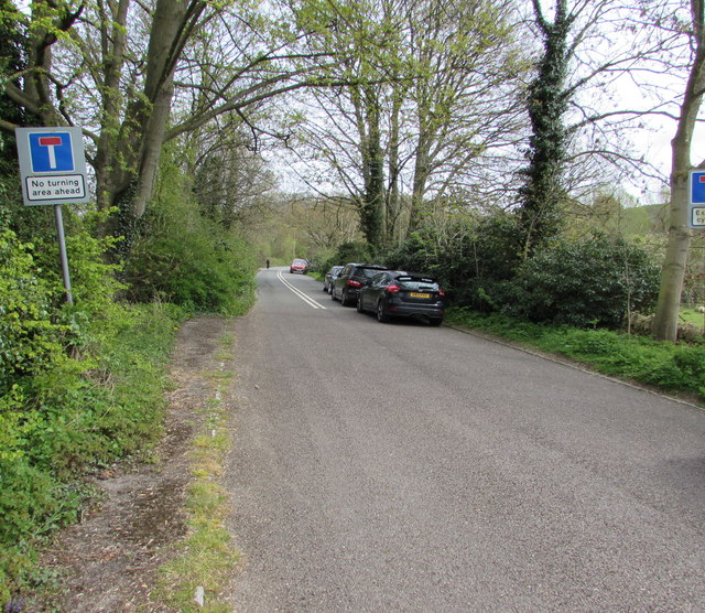
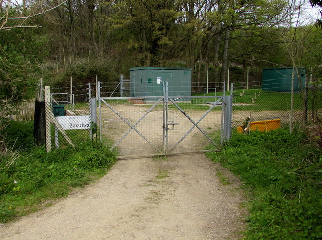
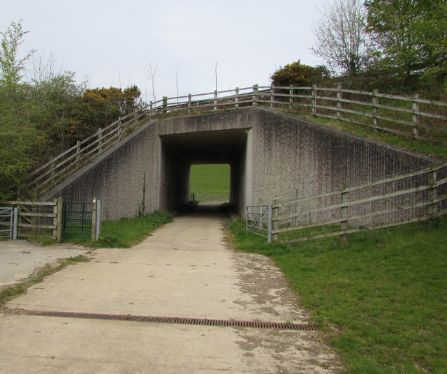
Bibsworth Covert Images
Images are sourced within 2km of 52.043908/-1.8416987 or Grid Reference SP1038. Thanks to Geograph Open Source API. All images are credited.


Bibsworth Covert is located at Grid Ref: SP1038 (Lat: 52.043908, Lng: -1.8416987)
Administrative County: Worcestershire
District: Wychavon
Police Authority: West Mercia
What 3 Words
///sandpaper.clouds.spoils. Near Broadway, Worcestershire
Nearby Locations
Related Wikis
Willersey
Willersey is a village in Gloucestershire, South West England, situated close to the boundary with Worcestershire, West Midlands region and southwest of...
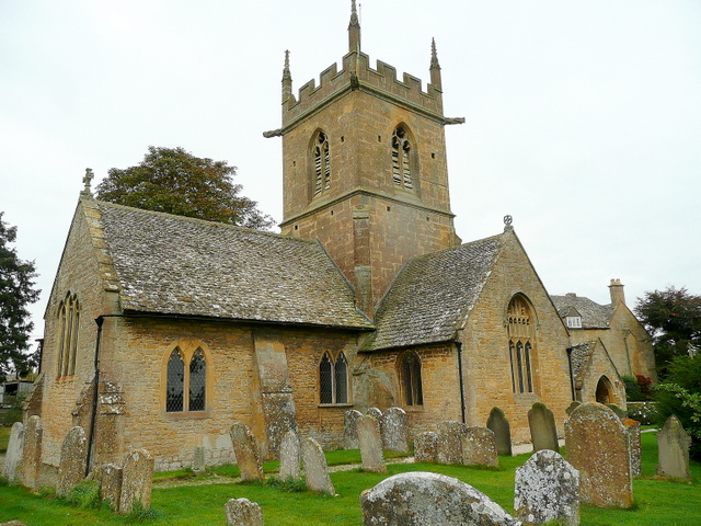
Church of St Peter, Willersey
The Anglican Church of St Peter at Willersey in the Cotswold District of Gloucestershire, England was built in the 12th century. It is a grade I listed...

Church of St Nicholas, Saintbury
The Anglican Church of St Nicholas at Saintbury in the Cotswold District of Gloucestershire, England was built in the 13th century. It is a grade I listed...

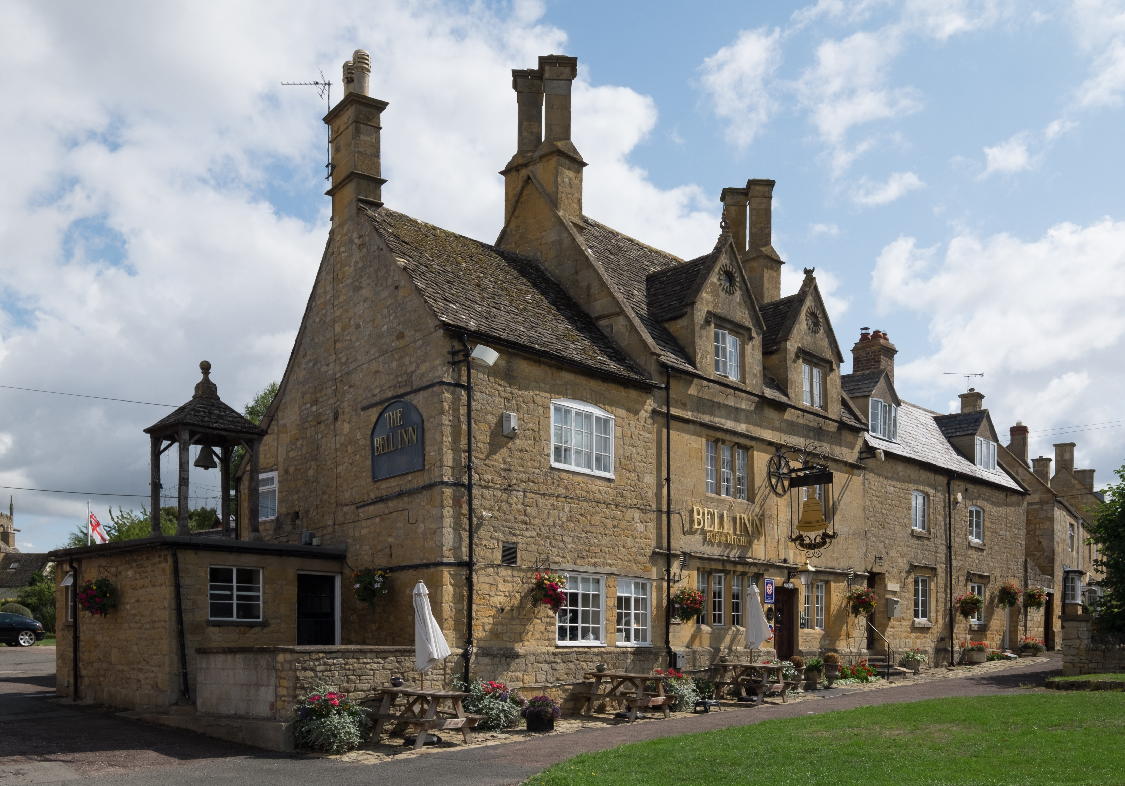
Broadway, Worcestershire
Broadway is a large village and civil parish in the Cotswolds, England, with a population of 2,540 at the 2011 census. It is in the far southeast of Worcestershire...
Saintbury
Saintbury is a village and civil parish in the Cotswold District of Gloucestershire, England. The population of the civil parish at the 2011 Census was...
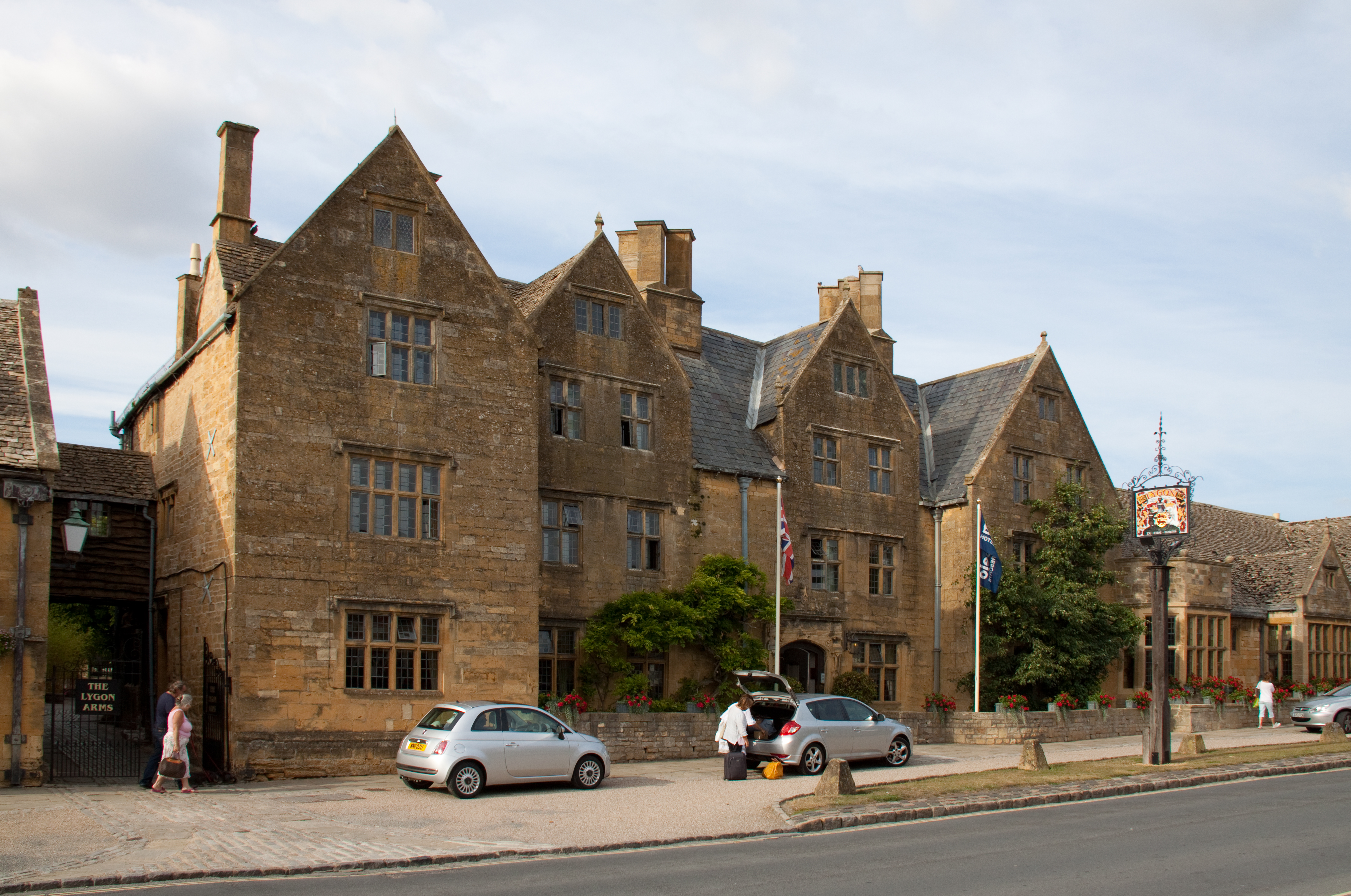
Lygon Arms
The Lygon Arms ( LIG-ən) is a Grade II* listed hotel in Broadway, Worcestershire, originally a coaching inn. The current building dates from the seventeenth...

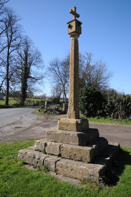
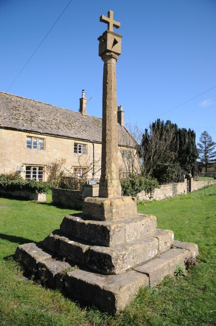
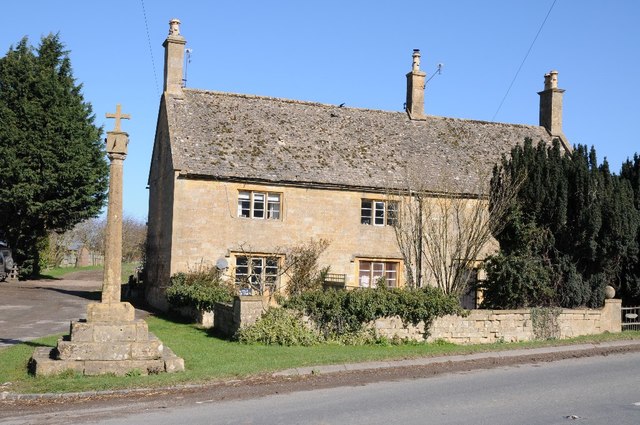
Broadway War Memorial
The Broadway War Memorial is located on the village green in the village of Broadway in Worcestershire. The memorial marks the deaths of local individuals...

Willersey Halt railway station
Willersey Halt railway station served the village of Willersey, Gloucestershire, England between 1904 and 1960. == History == The halt was opened by the...
Nearby Amenities
Located within 500m of 52.043908,-1.8416987Have you been to Bibsworth Covert?
Leave your review of Bibsworth Covert below (or comments, questions and feedback).