Collier's Knap
Wood, Forest in Worcestershire Wychavon
England
Collier's Knap
Collier's Knap, located in Worcestershire, England, is a picturesque woodland area that offers visitors a tranquil escape from the bustling city life. This ancient forest, also known as Collier's Wood, is situated within the Malvern Hills Area of Outstanding Natural Beauty, adding to its allure.
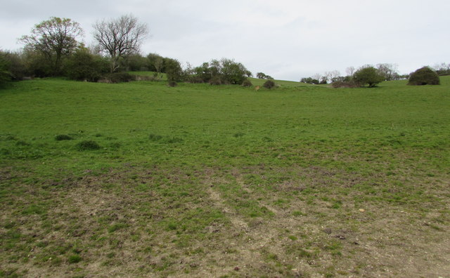
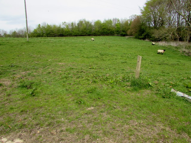
Covering approximately 20 hectares, Collier's Knap is adorned with a diverse range of flora and fauna. The woodland is predominantly made up of native broadleaf trees, including oak, ash, birch, and beech, which provide a stunning canopy of greenery throughout the year. The forest floor is adorned with a plethora of wildflowers, such as bluebells, primroses, and wood anemones, creating a vibrant and enchanting atmosphere.
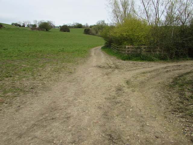
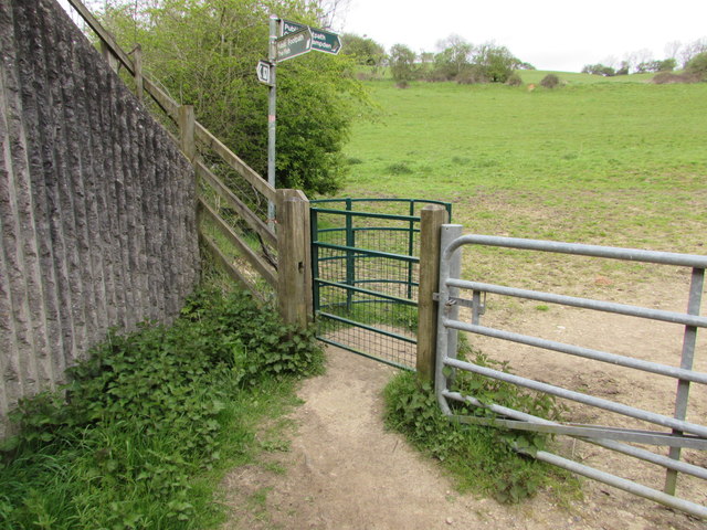
The forest is intersected by a network of footpaths, allowing visitors to explore its beauty at their own pace. These trails lead visitors through sun-dappled glades, babbling brooks, and serene ponds, providing ample opportunities for nature enthusiasts to spot a variety of wildlife. Squirrels, foxes, badgers, and a wide array of bird species, including woodpeckers and nuthatches, can often be spotted within the woodland.
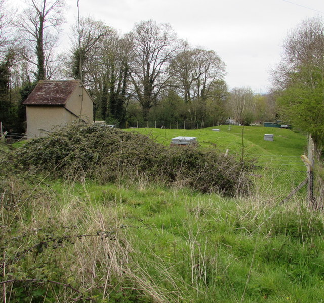
Collier's Knap is not only a haven for nature lovers but also a site of historical significance. The forest has a rich mining heritage, with evidence of coal mining dating back to the 13th century. Visitors can still see remnants of old mine workings, adding an intriguing historical dimension to their exploration.
Overall, Collier's Knap in Worcestershire is a captivating woodland retreat, offering a harmonious blend of natural beauty, wildlife, and historical charm. Whether one seeks a peaceful stroll, a family picnic, or an educational experience, this enchanting forest has something to offer for everyone.
If you have any feedback on the listing, please let us know in the comments section below.
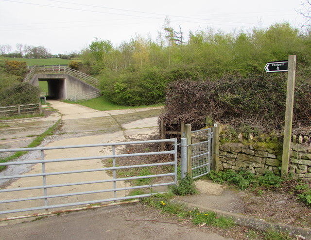
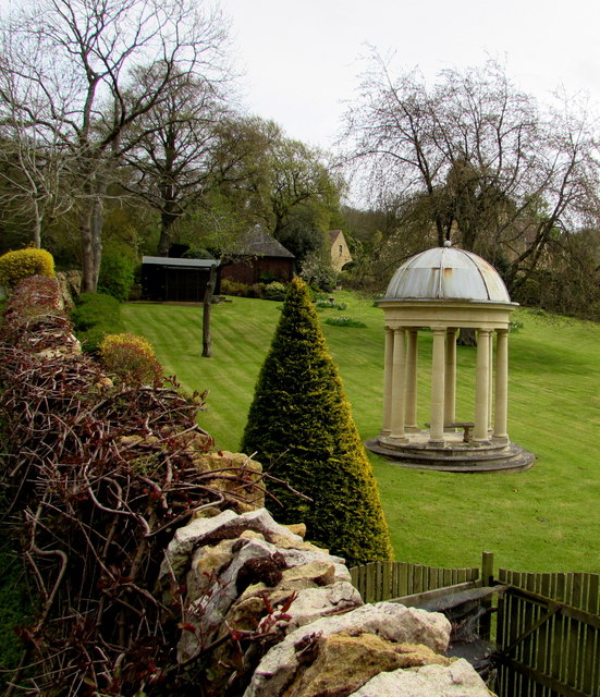
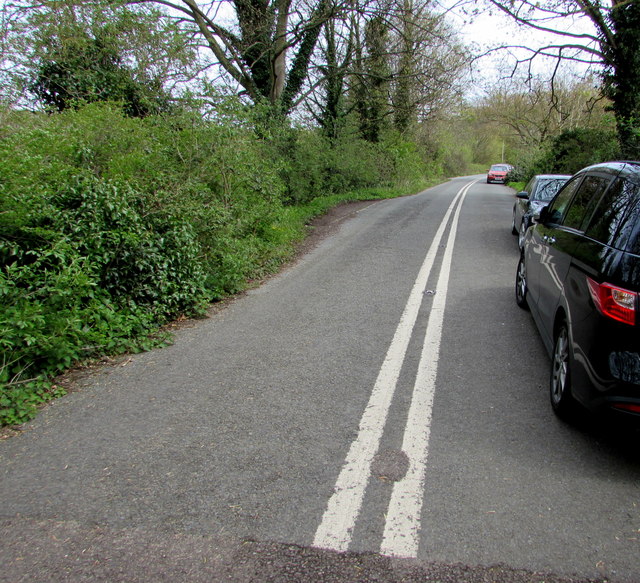
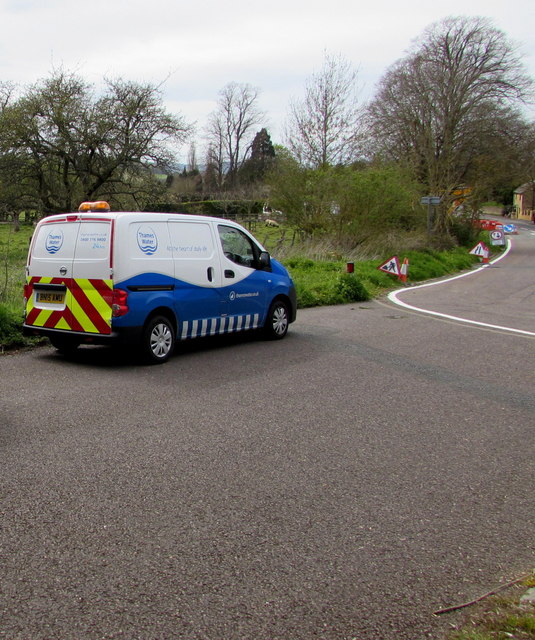
Collier's Knap Images
Images are sourced within 2km of 52.039576/-1.8431427 or Grid Reference SP1037. Thanks to Geograph Open Source API. All images are credited.


Collier's Knap is located at Grid Ref: SP1037 (Lat: 52.039576, Lng: -1.8431427)
Administrative County: Worcestershire
District: Wychavon
Police Authority: West Mercia
What 3 Words
///cabin.redeeming.below. Near Broadway, Worcestershire
Nearby Locations
Related Wikis

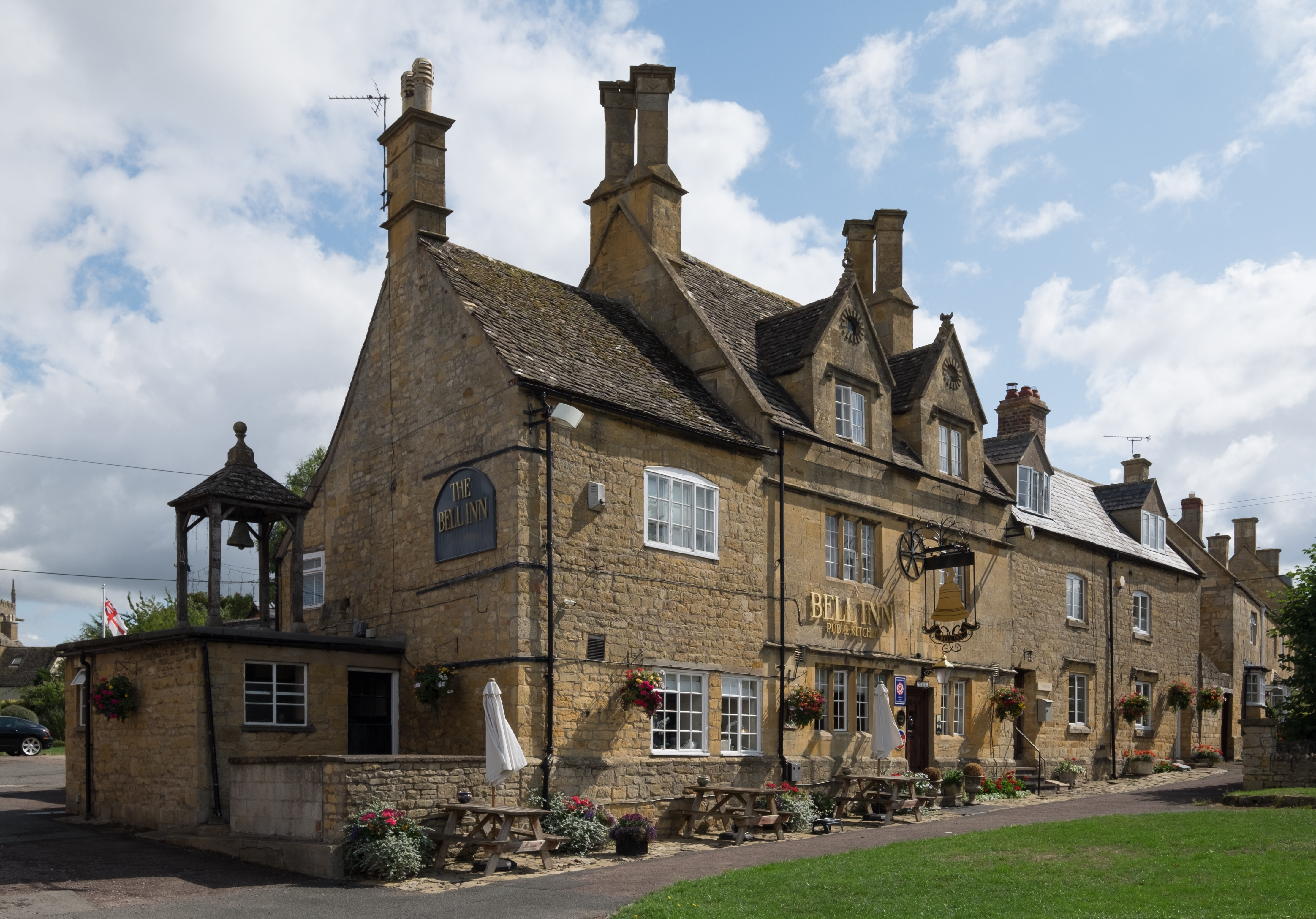
Broadway, Worcestershire
Broadway is a large village and civil parish in the Cotswolds, England, with a population of 2,540 at the 2011 census. It is in the far southeast of Worcestershire...
Willersey
Willersey is a village in Gloucestershire, South West England, situated close to the boundary with Worcestershire, West Midlands region and southwest of...
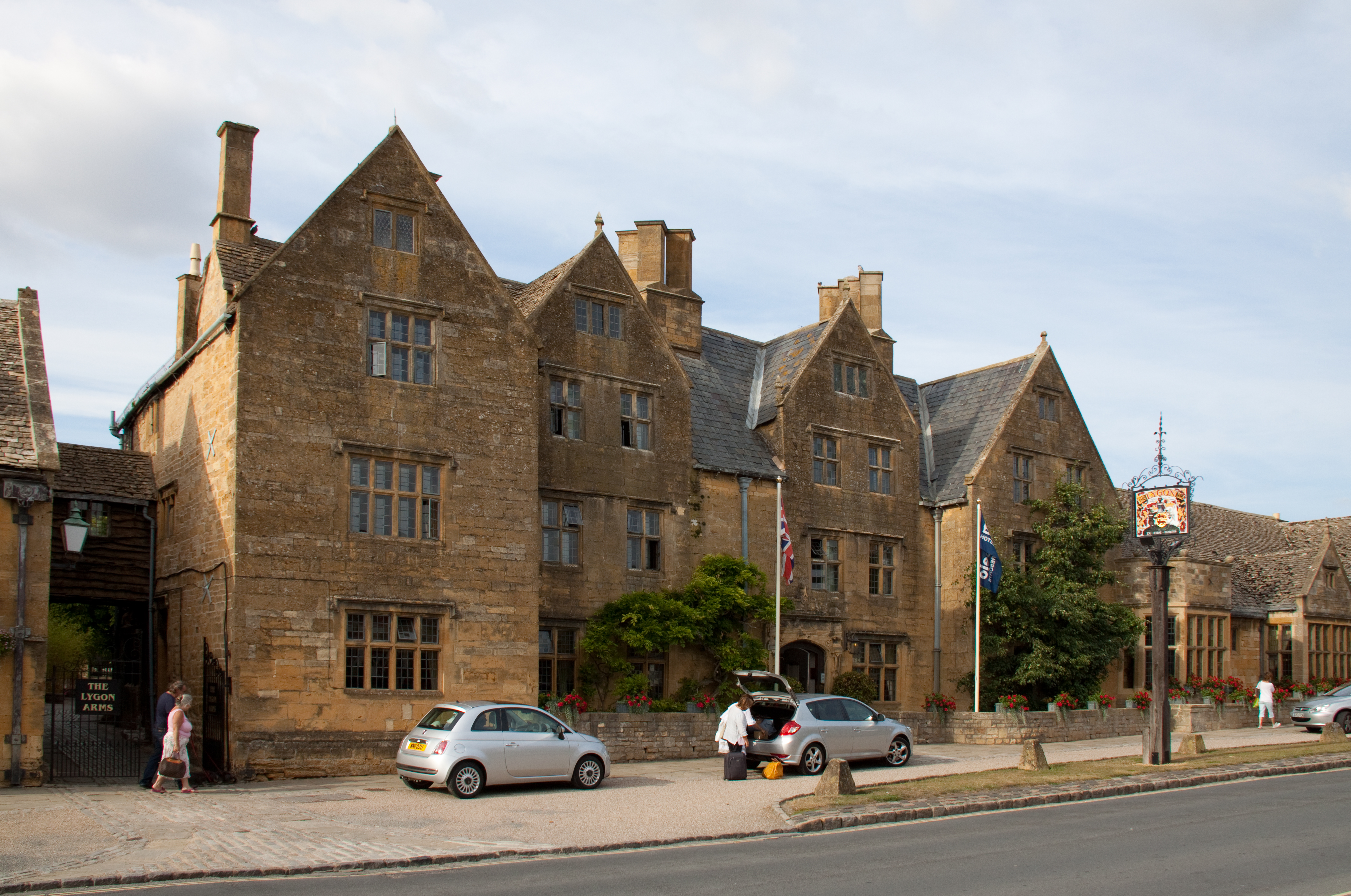
Lygon Arms
The Lygon Arms ( LIG-ən) is a Grade II* listed hotel in Broadway, Worcestershire, originally a coaching inn. The current building dates from the seventeenth...

Broadway War Memorial
The Broadway War Memorial is located on the village green in the village of Broadway in Worcestershire. The memorial marks the deaths of local individuals...
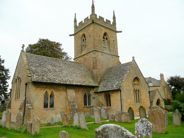
Church of St Peter, Willersey
The Anglican Church of St Peter at Willersey in the Cotswold District of Gloucestershire, England was built in the 12th century. It is a grade I listed...

Church of St Nicholas, Saintbury
The Anglican Church of St Nicholas at Saintbury in the Cotswold District of Gloucestershire, England was built in the 13th century. It is a grade I listed...

Broadway Tower, Worcestershire
Broadway Tower is an 18th-century folly near the village of Broadway, in the English county of Worcestershire. It is a Grade II listed building.Broadway...

Broadway railway station
Broadway railway station is a railway station on the heritage Gloucestershire Warwickshire Railway in the village of Broadway in Worcestershire, England...
Nearby Amenities
Located within 500m of 52.039576,-1.8431427Have you been to Collier's Knap?
Leave your review of Collier's Knap below (or comments, questions and feedback).