Southdown Wood
Wood, Forest in Wiltshire
England
Southdown Wood

Southdown Wood is a picturesque woodland located in the county of Wiltshire, England. Covering an area of approximately 400 acres, it is a thriving natural habitat and a popular destination for nature enthusiasts and walkers alike.
The wood boasts a diverse range of flora and fauna, including ancient oaks, beech trees, and birches. This variety of trees provides a rich and vibrant canopy, creating an enchanting atmosphere throughout the year. In the spring, the woodland floor comes alive with a carpet of bluebells, adding to its charm and beauty.
Southdown Wood is also home to a wide array of wildlife. Visitors may catch a glimpse of elusive deer, foxes, and an abundance of bird species, including woodpeckers and tawny owls. This makes it an ideal spot for birdwatching and wildlife photography.
The wood features several well-marked trails, allowing visitors to explore its many delights. These paths wind their way through the woodland, offering opportunities to discover hidden clearings, tranquil streams, and stunning viewpoints. Along the way, there are picnic areas, providing a perfect spot to rest and enjoy the peaceful surroundings.
Southdown Wood is managed by the local Forestry Commission, ensuring its preservation and conservation. The commission also organizes various educational and recreational activities, such as guided walks and forest school sessions, promoting an understanding and appreciation for the natural world.
Overall, Southdown Wood offers a tranquil escape from the hustle and bustle of everyday life, providing visitors with a chance to immerse themselves in the beauty and tranquility of nature.
If you have any feedback on the listing, please let us know in the comments section below.
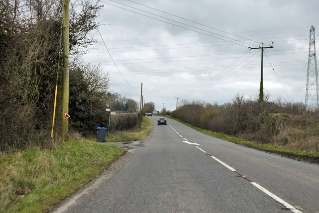
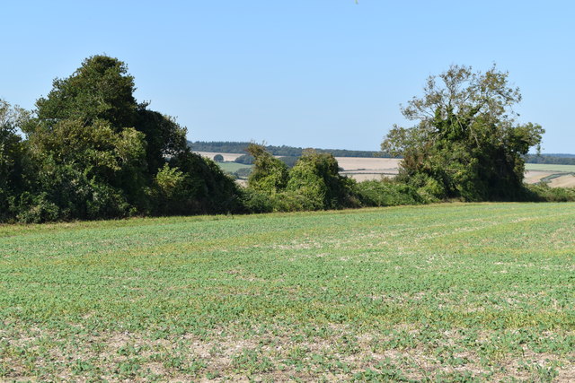
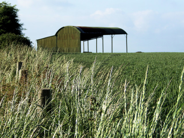
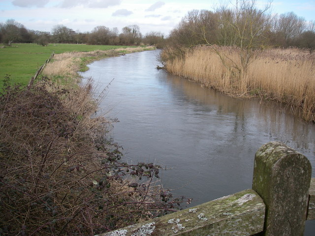
Southdown Wood Images
Images are sourced within 2km of 51.0151/-1.8481007 or Grid Reference SU1023. Thanks to Geograph Open Source API. All images are credited.


Southdown Wood is located at Grid Ref: SU1023 (Lat: 51.0151, Lng: -1.8481007)
Unitary Authority: Wiltshire
Police Authority: Wiltshire
What 3 Words
///rosette.deflation.diverting. Near Bishopstone, Wiltshire
Nearby Locations
Related Wikis

Homington and Coombe Bissett Downs
Homington and Coombe Bissett Downs (grid reference SU104245) is a 25.0 hectare biological Site of Special Scientific Interest in Wiltshire, notified in...

Stratford Toney Down
Stratford Toney Down (grid reference SU095246) is a 23.1 hectare biological Site of Special Scientific Interest in Wiltshire, England, which was notified...

Great Yews
Great Yews (grid reference SU120231) is a 29.3 hectare biological Site of Special Scientific Interest in Wiltshire, notified in 1951. == Sources == Natural...
River Avon System
River Avon System is a 475.9-hectare (1,176-acre) biological Site of Special Scientific Interest in Hampshire and Wiltshire, southern England. It is a...
Throope Down
Throope Down (grid reference SU086244) is a 34.4 hectare biological Site of Special Scientific Interest in Wiltshire, England, on chalk grassland in Bishopstone...

Coombe Bissett
Coombe Bissett is a village and civil parish in the English county of Wiltshire in the River Ebble valley, 3 miles (4.8 km) southwest of Salisbury on the...

Stratford Tony
Stratford Tony, also spelt Stratford Toney, formerly known as Stratford St Anthony and Toney Stratford, is a small village and civil parish in southern...

St Mary & St Lawrence's Church, Stratford Tony
The Church of St Mary & St Lawrence in the village of Stratford Tony, south Wiltshire, England, was built in the 13th century. It stands on the south bank...
Have you been to Southdown Wood?
Leave your review of Southdown Wood below (or comments, questions and feedback).