Bedlam Wood
Wood, Forest in Durham
England
Bedlam Wood
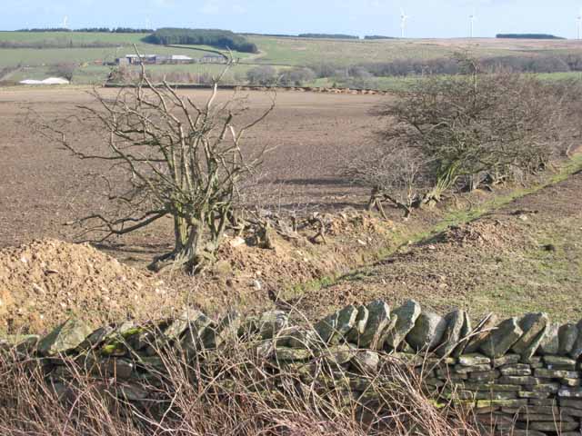
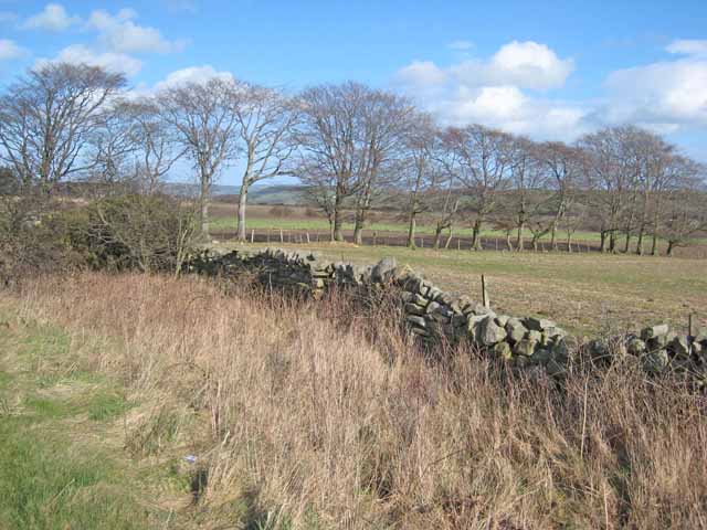
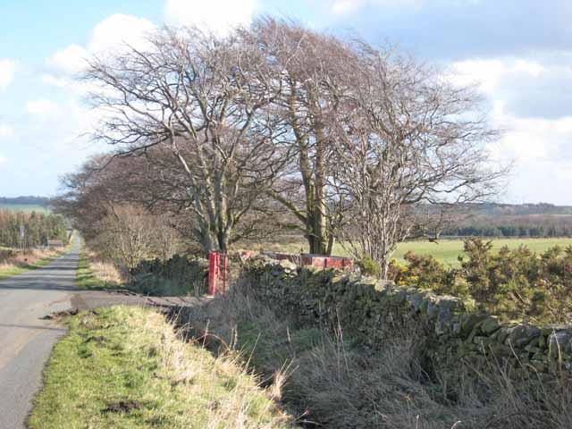
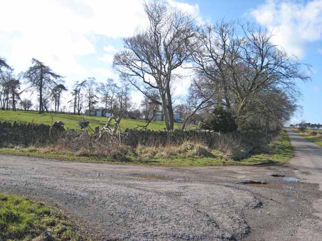
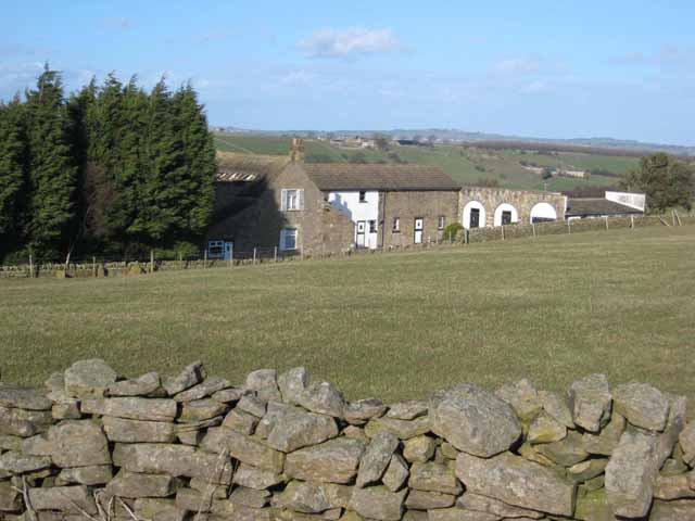
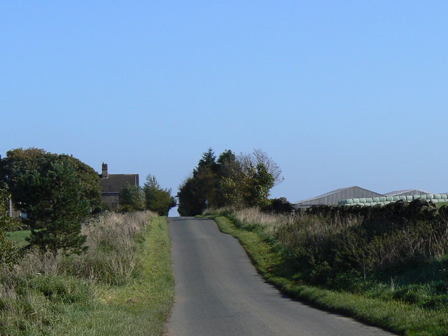
Bedlam Wood is a picturesque forest located in Durham, England. Spanning approximately 200 acres, this woodland is known for its natural beauty and diverse ecosystem. The wood is situated in a secluded area, providing a serene and tranquil environment for visitors to enjoy.
As one explores Bedlam Wood, they are greeted by a dense canopy of trees that create a shaded and cool atmosphere. The wood is primarily composed of deciduous trees such as oak, beech, and birch, which provide a stunning display of colors during the autumn months.
The forest floor is covered in a thick layer of moss and ferns, creating a lush and vibrant undergrowth. This undergrowth is home to a variety of plant species, including bluebells, wild garlic, and foxgloves, which add a splash of color to the woodland.
Bedlam Wood is teeming with wildlife, making it a popular spot for nature enthusiasts and birdwatchers. The forest is home to numerous bird species, including woodpeckers, owls, and songbirds. Visitors may also catch a glimpse of small mammals such as squirrels, rabbits, and hedgehogs that call the wood their home.
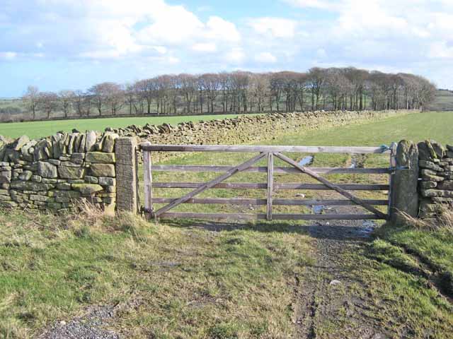
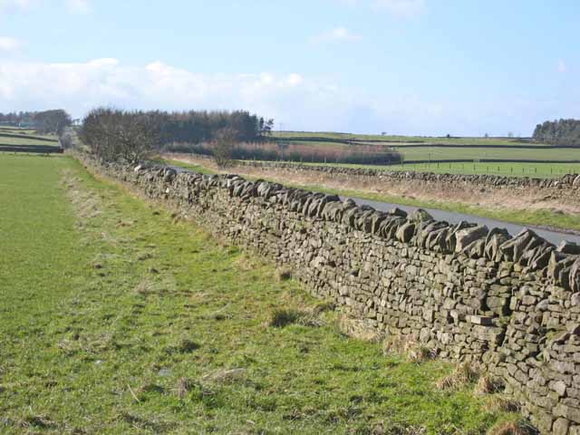
The wood features several well-maintained walking trails that allow visitors to explore its beauty at their own pace. These trails wind through the forest, offering stunning views of the surrounding countryside and the opportunity to spot various flora and fauna.
Bedlam Wood is a true gem in the Durham region, offering a peaceful escape from the hustle and bustle of everyday life. Whether one seeks a leisurely stroll, a birdwatching adventure, or simply a place to connect with nature, this woodland provides an ideal setting for all nature enthusiasts.
If you have any feedback on the listing, please let us know in the comments section below.
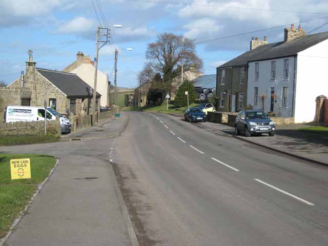
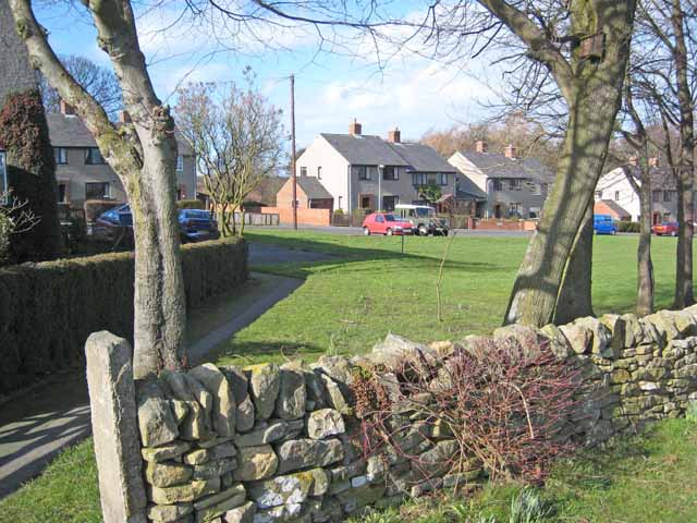
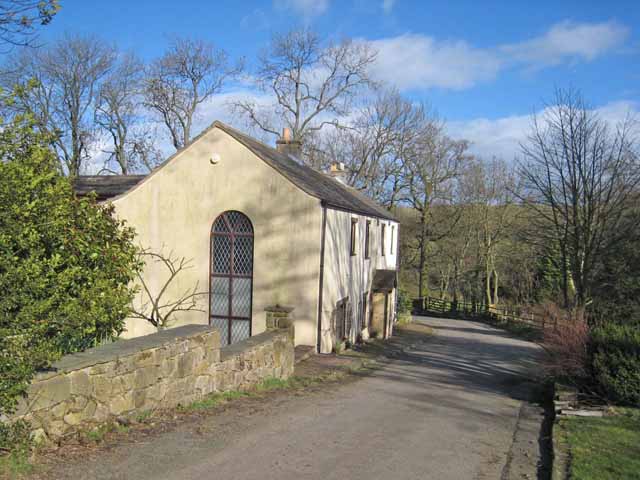
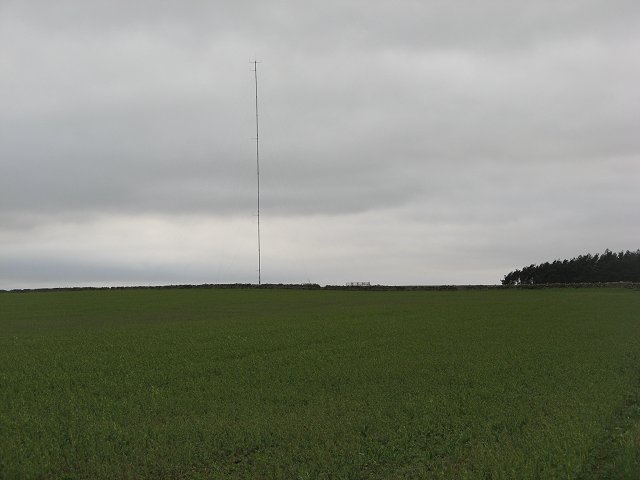
Bedlam Wood Images
Images are sourced within 2km of 54.780141/-1.8350424 or Grid Reference NZ1042. Thanks to Geograph Open Source API. All images are credited.


Bedlam Wood is located at Grid Ref: NZ1042 (Lat: 54.780141, Lng: -1.8350424)
Unitary Authority: County Durham
Police Authority: Durham
What 3 Words
///couriers.router.revival. Near Tow Law, Co. Durham
Nearby Locations
Related Wikis

Satley
Satley is a village and civil parish in County Durham, England, with a population of 292 in 2001, falling to 282 at the 2011 Census. It is situated six...

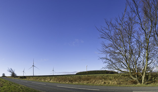
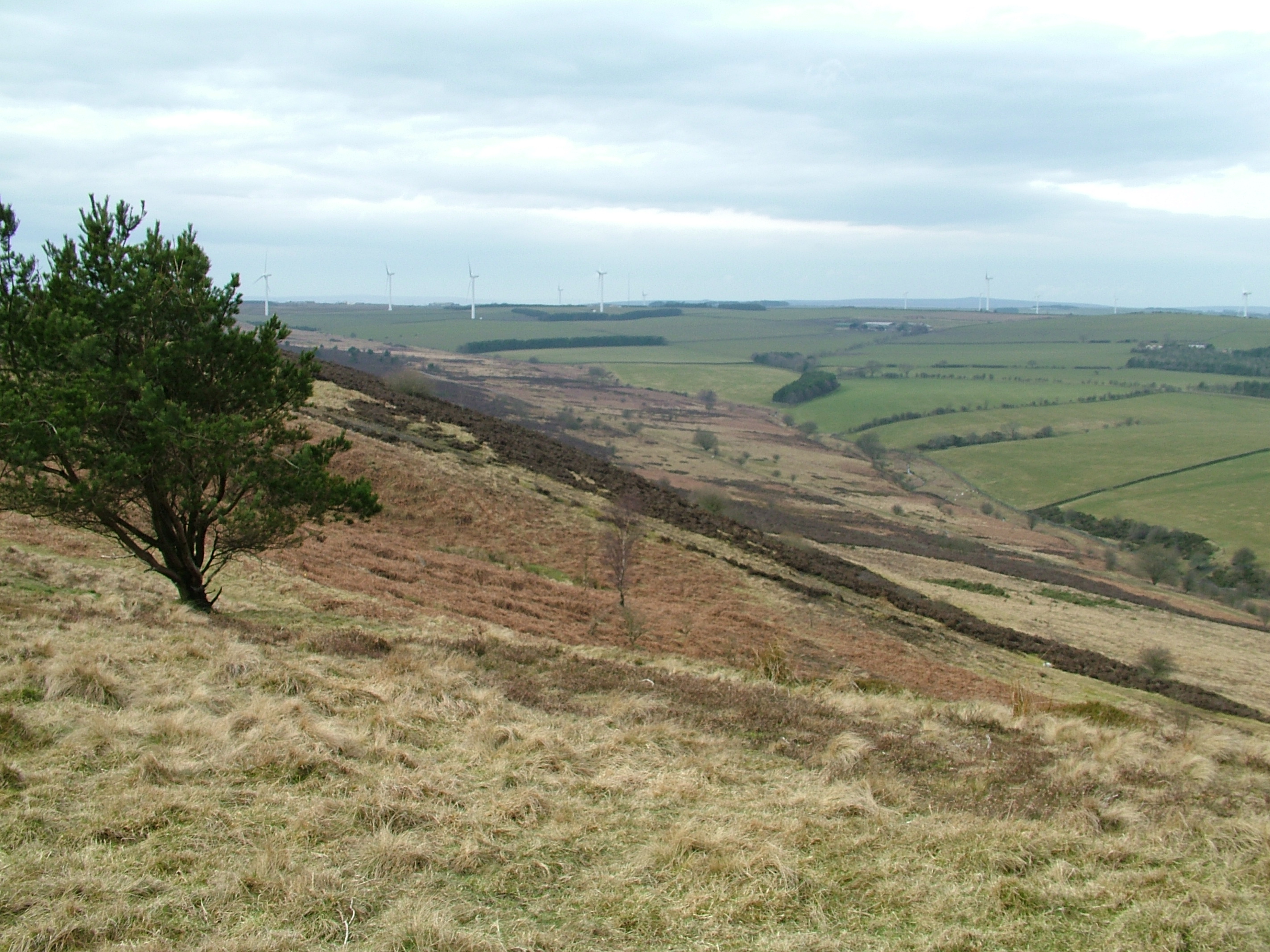
West Durham Wind Farm
West Durham Wind Farm is a wind farm near Tow Law, County Durham, England. == History == Developed by County Durham-based company the Banks Group, the...
Hall Hill Farm
Hall Hill Farm is a tourist attraction located in County Durham, near Tow Law, England. == History == Ann Darlington is the current tourism manager at...
High Stoop
High Stoop is a village in County Durham, England. It is situated a short distance to the north-west of Tow Law, on the A68. == References ==

Butsfield
Butsfield is a village in County Durham, England. It is situated a few miles to the south of Consett, near the village of Satley. Butsfield Burn Farm is...

Inkerman, County Durham
Inkerman was a village in County Durham, England. Built in 1854–1855 a short distance to the north-west of Tow Law to house ironstone miners, it was named...
Murder of Harry Collinson
The murder of Harry Collinson, the planning officer for Derwentside District Council, occurred on 20 June 1991 at Butsfield, County Durham, England. At...
Hedleyhope Fell
Hedleyhope Fell is a nature reserve to the north-east of Tow Law, County Durham, England. The reserve is managed by Durham Wildlife Trust and consists...
Have you been to Bedlam Wood?
Leave your review of Bedlam Wood below (or comments, questions and feedback).