Alne Wood

Wood, Forest in Warwickshire Stratford-on-Avon

England

Alne Wood

Lane to Morton Bagot, Spernal A nicely cared for stretch beside the lane to Morton Bagot, although the daffodils are now well past their best.
Lane to Morton Bagot, Spernal Credit: David Stowell

Alne Wood is a picturesque woodland located in Warwickshire, England. Covering an area of approximately 100 acres, it is a popular destination for nature lovers and outdoor enthusiasts. The wood is predominantly composed of native tree species such as oak, ash, and birch, creating a diverse and vibrant ecosystem.

The wood offers a variety of walking trails, allowing visitors to explore its tranquil surroundings and admire the beauty of nature. These paths are well-maintained and accessible to people of all ages and abilities. As visitors wander through the wood, they are likely to encounter an array of wildlife, including deer, rabbits, and a wide variety of bird species.

Alne Wood is carefully managed by local conservation organizations to ensure its ecological health and sustainability. This includes regular tree planting and maintenance, as well as efforts to control invasive species and maintain a balance between nature and human activity.

The wood also serves as an important habitat for many endangered and rare species, making it of significant ecological importance. It provides nesting sites for birds and homes for small mammals, insects, and fungi. These diverse habitats make Alne Wood an ideal location for wildlife enthusiasts and nature photographers.

Additionally, the wood offers educational opportunities for schools and community groups. Guided tours and nature walks are available, allowing visitors to learn about the various flora and fauna that inhabit the area.

Overall, Alne Wood is a haven of natural beauty and biodiversity, providing a peaceful retreat for both locals and tourists alike.

If you have any feedback on the listing, please let us know in the comments section below.

Alne Wood Images

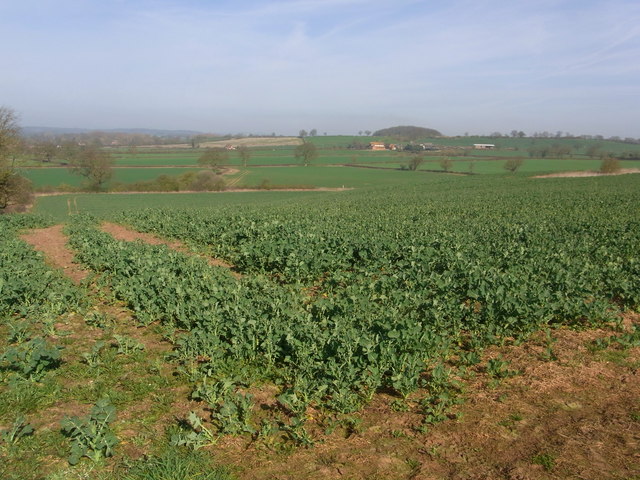
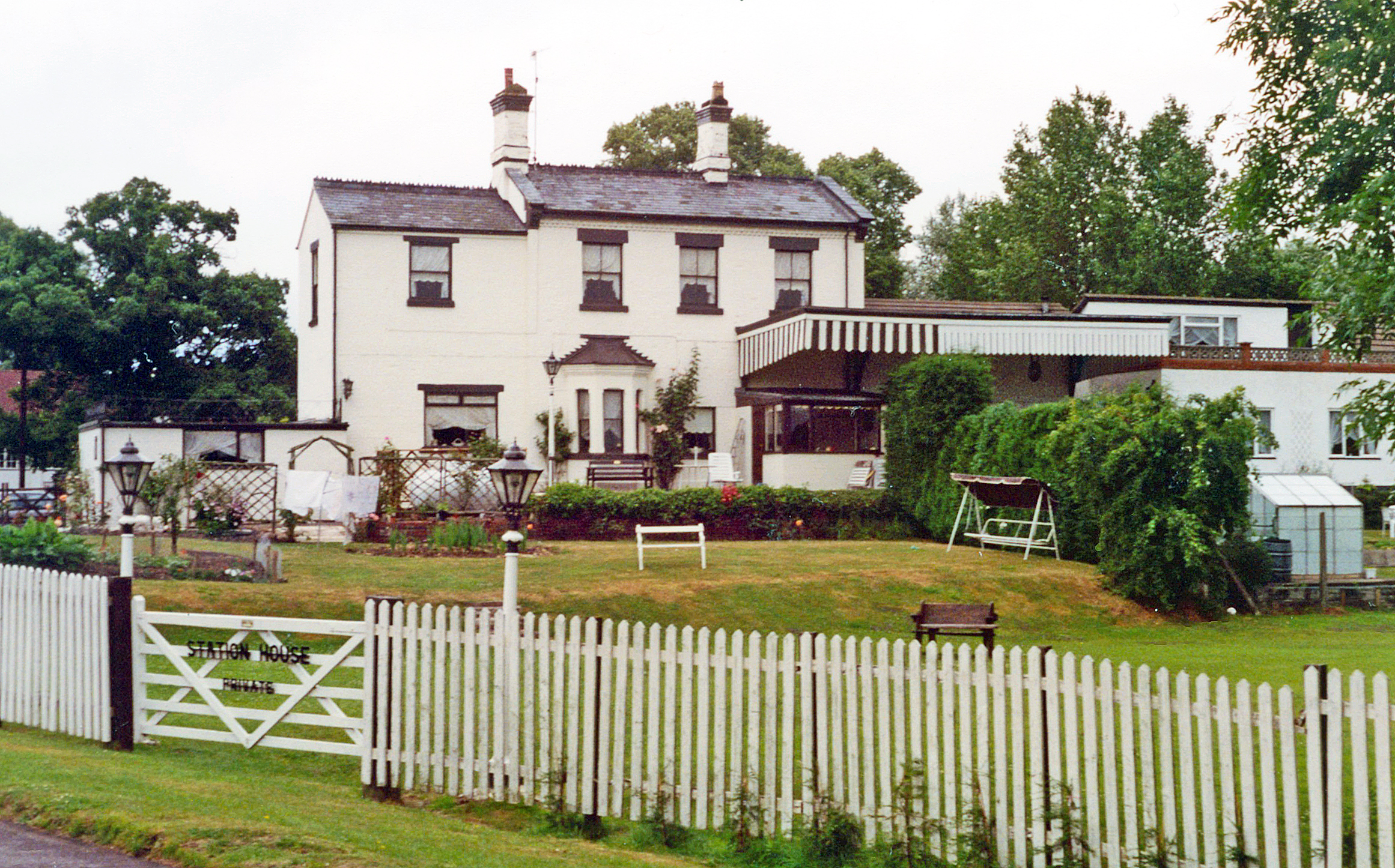
Images are sourced within 2km of 52.247672/-1.8449011 or Grid Reference SP1061. Thanks to Geograph Open Source API. All images are credited.

Lane to Morton Bagot, Spernal A nicely cared for stretch beside the lane to Morton Bagot, although the daffodils are now well past their best.
Lane to Morton Bagot, Spernal
A nicely cared for stretch beside the lane to Morton Bagot, although the daffodils are now well past their best.
Lane to Upper Spernall Farm The neatly manicured lane leading from Spernal (with one "l") Lane towards Upper Spernall (with two "l"s) Farm and Burford Lane.
Lane to Upper Spernall Farm
The neatly manicured lane leading from Spernal (with one "l") Lane towards Upper Spernall (with two "l"s) Farm and Burford Lane.
Windmill Hill, Coughton A small area of woodland seen from the green lane crossing the square.
Windmill Hill, Coughton
A small area of woodland seen from the green lane crossing the square.
Extension to Morgrove Coppice An area of fresh tree planting to extend Morgrove Coppice to the SW.
Extension to Morgrove Coppice
An area of fresh tree planting to extend Morgrove Coppice to the SW.
Roadside signs in Spernal Lane The signs at the junction with the lane to Upper Spernall Farm, home of a brand new brewery <span class="nowrap"><a title="http://www.puritybrewing.com/index.html" rel="nofollow ugc noopener" href="http://www.puritybrewing.com/index.html">Link</a><img style="margin-left:2px;" alt="External link" title="External link - shift click to open in new window" src="https://s1.geograph.org.uk/img/external.png" width="10" height="10"/></span> , launched in January 2006 and therefore younger than Geograph!
Roadside signs in Spernal Lane
The signs at the junction with the lane to Upper Spernall Farm, home of a brand new brewery LinkExternal link , launched in January 2006 and therefore younger than Geograph!
Farmland, Coughton Looking north across the square from the green lane past Windmill Hill.
Farmland, Coughton
Looking north across the square from the green lane past Windmill Hill.
The Arden Way at Windmill Hill If you fancy a quiet long-distance path, try the Arden Way, a 26-mile circular walk around Alcester and Henley-in-Arden.
The Arden Way at Windmill Hill
If you fancy a quiet long-distance path, try the Arden Way, a 26-mile circular walk around Alcester and Henley-in-Arden.
Arden Way  towards New End Farm Tree-lined banks to this lane with a lot of bluebells.
Arden Way towards New End Farm
Tree-lined banks to this lane with a lot of bluebells.
Farmland east of Windmill Hill As seen through the hedge of the Arden Way track.
Farmland east of Windmill Hill
As seen through the hedge of the Arden Way track.
Ploughed field south of the Arden Way
Windmill Hill A field of maize and the wooded Windmill Hill viewed from the Arden Way to the east of Coughton.
Windmill Hill
A field of maize and the wooded Windmill Hill viewed from the Arden Way to the east of Coughton.
Windmill Hill Barn Windmill Hill Barn and Windmill Hill viewed from the Arden Way to the east of Coughton.
Windmill Hill Barn
Windmill Hill Barn and Windmill Hill viewed from the Arden Way to the east of Coughton.
The Arden Way The Arden Way to the east of Coughton.
The Arden Way
The Arden Way to the east of Coughton.
The Arden Way A shady section of the Arden Way to the east of Coughton.
The Arden Way
A shady section of the Arden Way to the east of Coughton.
The way to Purity The Purity Brewery has erected this sign at the end of the lane to its premises at Upper Spernall Farm. The company was established in 2005, brewing in converted barns at the farm. Its real ale products are now distributed to pubs across the Midlands.
The way to Purity
The Purity Brewery has erected this sign at the end of the lane to its premises at Upper Spernall Farm. The company was established in 2005, brewing in converted barns at the farm. Its real ale products are now distributed to pubs across the Midlands.
Farmland near Upper Spernall Farm Looking towards the Alne Hills.
Farmland near Upper Spernall Farm
Looking towards the Alne Hills.
Footpath towards Middle Spernall Farm Looking towards Middle Spernall Farm from Spernall Lane and across the Arrow valley.
Footpath towards Middle Spernall Farm
Looking towards Middle Spernall Farm from Spernall Lane and across the Arrow valley.
Coughton Fields from the footpath
Show me another place!

Alne Wood is located at Grid Ref: SP1061 (Lat: 52.247672, Lng: -1.8449011)

Administrative County: Warwickshire

District: Stratford-on-Avon

Police Authority: Warwickshire

What 3 Words

///topic.called.fists. Near Alcester, Warwickshire

Related Wikis

Nearby Amenities

Located within 500m of 52.247672,-1.8449011
Man Made: pipeline_marker
Source: survey
Substance: gas
Lat/Long: 52.2456244/-1.8488608
Material: wood
Power: pole
Lat/Long: 52.250581/-1.8393003
New End
Place: hamlet
Lat/Long: 52.2438633/-1.8458966
Material: wood
Power: pole
Lat/Long: 52.2442855/-1.8401644
Material: wood
Power: pole
Lat/Long: 52.2448447/-1.8410106
Material: wood
Power: pole
Lat/Long: 52.2450377/-1.8422095
Material: wood
Power: pole
Lat/Long: 52.2452495/-1.8435198
Material: wood
Power: pole
Lat/Long: 52.2458629/-1.8449722
Material: wood
Power: pole
Lat/Long: 52.246372/-1.8462168
Material: wood
Power: pole
Lat/Long: 52.2469525/-1.8476008
Material: wood
Power: pole
Lat/Long: 52.2474887/-1.848903
Material: wood
Power: pole
Lat/Long: 52.247625/-1.8497774
Material: wood
Power: pole
Lat/Long: 52.2477625/-1.8506183
The data included in this document is from www.openstreetmap.org. The data is made available under ODbL.

Have you been to Alne Wood?

Leave your review of Alne Wood below (or comments, questions and feedback).