Coldlaw Wood
Wood, Forest in Northumberland
England
Coldlaw Wood
Coldlaw Wood is a picturesque woodland located in Northumberland, England. Covering an area of approximately 230 hectares, it is nestled within the heart of the Northumberland National Park. The wood is known for its diverse range of flora and fauna, making it a haven for nature enthusiasts and wildlife lovers.
The wood is primarily composed of broadleaf trees, including oak, birch, and beech, which create a dense canopy overhead, providing a cool and peaceful atmosphere. The forest floor is covered in a thick carpet of mosses, ferns, and wildflowers, adding to the enchanting ambiance of the wood.
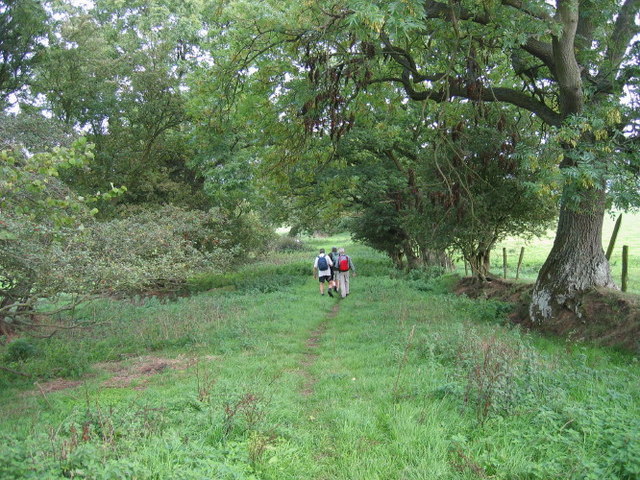
Visitors to Coldlaw Wood can enjoy a variety of activities. There are several well-maintained walking trails that meander through the woodland, allowing visitors to explore its beauty at their own pace. These trails offer breathtaking views of the surrounding countryside and are perfect for both leisurely strolls and more challenging hikes.
The wood is also home to a rich array of wildlife. Birdwatchers will delight in the presence of various species, including woodpeckers, owls, and red kites. Additionally, the wood is inhabited by deer, badgers, and foxes, providing opportunities for wildlife spotting and photography.
Coldlaw Wood is easily accessible, with ample parking available nearby. It is an ideal destination for those seeking tranquility, natural beauty, and a chance to reconnect with the great outdoors. Whether it be for a leisurely walk, wildlife observation, or simply to appreciate the wonders of nature, Coldlaw Wood offers a truly captivating experience for all who visit.
If you have any feedback on the listing, please let us know in the comments section below.
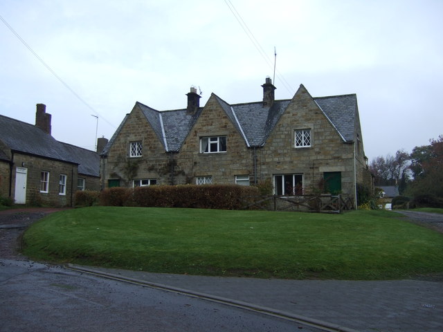
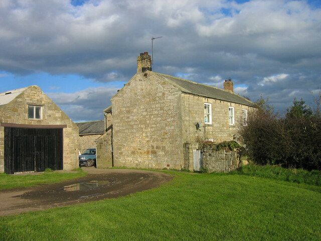
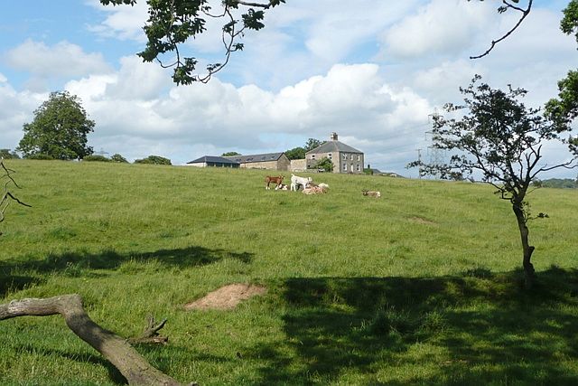
Coldlaw Wood Images
Images are sourced within 2km of 55.191779/-1.8341181 or Grid Reference NZ1088. Thanks to Geograph Open Source API. All images are credited.


Coldlaw Wood is located at Grid Ref: NZ1088 (Lat: 55.191779, Lng: -1.8341181)
Unitary Authority: Northumberland
Police Authority: Northumbria
What 3 Words
///myself.limiting.balancing. Near Hartburn, Northumberland
Nearby Locations
Related Wikis

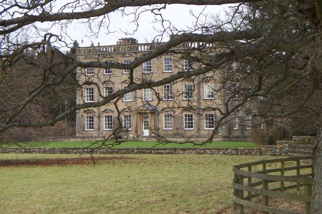
Netherwitton Hall
Netherwitton Hall is a mansion house, and a Grade I listed building at Netherwitton, near Morpeth, Northumberland, England.The estate was owned by the...

Netherwitton
Netherwitton is a village in Northumberland, England about 8 miles (13 km) west north west of Morpeth. A former cotton-mill now converted into residential...

Stanton, Northumberland
Stanton is a small hamlet and former civil parish, now in the parish of Netherwitton, in Northumberland, England, which is located 7 miles (11 km) north...
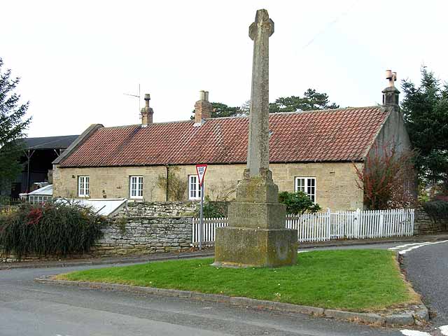
Hartburn War Memorial
Hartburn War Memorial is a First World War Memorial in the village of Hartburn, Northumberland, in the north-east of England. The memorial, designed by...

Meldon Park
Meldon Park is a privately owned country mansion situated at Meldon, Northumberland. It is a Grade II* listed building. == Present building == In 1832...
Hartburn, Northumberland
Hartburn is a village in Northumberland, in England. It is situated about 6 miles (10 km) to the west of Morpeth. The population at the 2011 census was...

Hart Burn
Hart Burn is a river that flows through Northumberland, England. It is a tributary of the River Wansbeck, is 24 km long and has a catchment area of 45...

Nunnykirk
Nunnykirk is a settlement and civil parish in the county of Northumberland, England. Nunnykirk is the location of Nunnykirk Hall, a former nunnery country...
Have you been to Coldlaw Wood?
Leave your review of Coldlaw Wood below (or comments, questions and feedback).