Clouse Wood

Wood, Forest in Warwickshire Stratford-on-Avon

England

Clouse Wood

Greenhill Farm, Morton Bagot This building dates from the late 15th century.
Greenhill Farm, Morton Bagot Credit: Colin Park

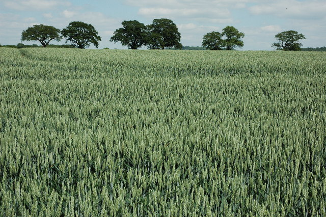
Clouse Wood is a picturesque forest located in Warwickshire, England. Covering an area of approximately 500 acres, it is a popular destination for nature enthusiasts and hikers alike. The wood is situated near the village of Clouse, which gives it its name.

The forest is predominantly made up of deciduous trees, including oak, beech, and ash, creating a diverse and vibrant ecosystem. These trees provide a rich habitat for a variety of wildlife, such as deer, foxes, and a wide range of bird species. The forest floor is adorned with an array of wildflowers, adding to the beauty and tranquility of the surroundings.

Clouse Wood offers a network of well-maintained trails, allowing visitors to explore the forest at their own pace. These trails cater to different levels of fitness and offer stunning views of the surrounding countryside. Additionally, the wood features a designated picnic area, providing visitors with the opportunity to enjoy a peaceful lunch amidst the natural beauty.

The forest is also of historical significance, with remnants of ancient settlements and archaeological sites dating back to prehistoric times. These historical features add an extra layer of intrigue and make Clouse Wood an attractive location for both nature lovers and history enthusiasts.

Overall, Clouse Wood in Warwickshire is a cherished natural gem, offering a serene and captivating experience for anyone seeking respite from the hustle and bustle of modern life. Its combination of breathtaking scenery, diverse wildlife, and historical significance make it a must-visit destination for those exploring the region.

If you have any feedback on the listing, please let us know in the comments section below.

Clouse Wood Images

Images are sourced within 2km of 52.267892/-1.8453583 or Grid Reference SP1063. Thanks to Geograph Open Source API. All images are credited.

Greenhill Farm, Morton Bagot This building dates from the late 15th century.
Greenhill Farm, Morton Bagot
This building dates from the late 15th century.
Studley Castle, Warwickshire The building has never actually been used as a castle. The site of the medieval castle at Studley is occupied by the nearby 16th-century house known as Old Studley Castle. (source Wikipedia)
Studley Castle, Warwickshire
The building has never actually been used as a castle. The site of the medieval castle at Studley is occupied by the nearby 16th-century house known as Old Studley Castle. (source Wikipedia)
View towards Morton Common Farm Looking across the farmland in the square from the footpath towards the site of an old priory and then on to Studley.
View towards Morton Common Farm
Looking across the farmland in the square from the footpath towards the site of an old priory and then on to Studley.
Lane to Morton Bagot, Spernal A nicely cared for stretch beside the lane to Morton Bagot, although the daffodils are now well past their best.
Lane to Morton Bagot, Spernal
A nicely cared for stretch beside the lane to Morton Bagot, although the daffodils are now well past their best.
Lane to Upper Spernall Farm The neatly manicured lane leading from Spernal (with one "l") Lane towards Upper Spernall (with two "l"s) Farm and Burford Lane.
Lane to Upper Spernall Farm
The neatly manicured lane leading from Spernal (with one "l") Lane towards Upper Spernall (with two "l"s) Farm and Burford Lane.
Plantation in Spernall A new area of woodland planted on the slopes of the unnamed hillock to the north of Spernal Lane near the western boundary of the square.
Plantation in Spernall
A new area of woodland planted on the slopes of the unnamed hillock to the north of Spernal Lane near the western boundary of the square.
Extension to Morgrove Coppice An area of fresh tree planting to extend Morgrove Coppice to the SW.
Extension to Morgrove Coppice
An area of fresh tree planting to extend Morgrove Coppice to the SW.
Footbridge and blossom The footbridge carries the path from Studley and actually crosses the southern boundary of the square.
Footbridge and blossom
The footbridge carries the path from Studley and actually crosses the southern boundary of the square.
Roadside signs in Spernal Lane The signs at the junction with the lane to Upper Spernall Farm, home of a brand new brewery <span class="nowrap"><a title="http://www.puritybrewing.com/index.html" rel="nofollow ugc noopener" href="http://www.puritybrewing.com/index.html">Link</a><img style="margin-left:2px;" alt="External link" title="External link - shift click to open in new window" src="https://s1.geograph.org.uk/img/external.png" width="10" height="10"/></span> , launched in January 2006 and therefore younger than Geograph!
Roadside signs in Spernal Lane
The signs at the junction with the lane to Upper Spernall Farm, home of a brand new brewery LinkExternal link , launched in January 2006 and therefore younger than Geograph!
Castle Farm Victorian Walled Garden The photo is taken from outside the walled garden looking back at it from the woods belonging to the farmland.
Castle Farm Victorian Walled Garden
The photo is taken from outside the walled garden looking back at it from the woods belonging to the farmland.
Castle Farm Fields Again, taken in this year's snow, looking out from the access road into the farm over the sheep fields.
Castle Farm Fields
Again, taken in this year's snow, looking out from the access road into the farm over the sheep fields.
Trees and wheat Trees and a field of growing wheat viewed from the Arden Way near Spernall.
Trees and wheat
Trees and a field of growing wheat viewed from the Arden Way near Spernall.
Grassland near Clarke's Green Farm Grassland near Clarke's Green Farm at Morton Bagot. The Arden Way passes through this field.
Grassland near Clarke's Green Farm
Grassland near Clarke's Green Farm at Morton Bagot. The Arden Way passes through this field.
Farmland near Castle Farm Farmland near Castle Farm, near Mappleborough Green.
Farmland near Castle Farm
Farmland near Castle Farm, near Mappleborough Green.
Undulating farmland near Morton Bagot View across undulating farmland towards Bannam's Wood from the Arden Way.
Undulating farmland near Morton Bagot
View across undulating farmland towards Bannam's Wood from the Arden Way.
Farm buildings, Castle Farm Red-brick Victorian farm buildings at Castle Farm near Studley.
Farm buildings, Castle Farm
Red-brick Victorian farm buildings at Castle Farm near Studley.
The way to Purity The Purity Brewery has erected this sign at the end of the lane to its premises at Upper Spernall Farm. The company was established in 2005, brewing in converted barns at the farm. Its real ale products are now distributed to pubs across the Midlands.
The way to Purity
The Purity Brewery has erected this sign at the end of the lane to its premises at Upper Spernall Farm. The company was established in 2005, brewing in converted barns at the farm. Its real ale products are now distributed to pubs across the Midlands.
Farmland near Upper Spernall Farm Looking towards the Alne Hills.
Farmland near Upper Spernall Farm
Looking towards the Alne Hills.
Show me another place!

Clouse Wood is located at Grid Ref: SP1063 (Lat: 52.267892, Lng: -1.8453583)

Administrative County: Warwickshire

District: Stratford-on-Avon

Police Authority: Warwickshire

What 3 Words

///diets.trending.tint. Near Studley, Warwickshire

Nearby Locations

Clouse Wood Morton Common

Related Wikis

Morton Bagot

Morton Bagot is a small village in the Stratford-on-Avon District of Warwickshire, England. It lies about 1.5 miles (2 km) east of the Birmingham-Alcester...

Studley Castle

Studley Castle is a 19th-century country house at Studley, Warwickshire, England. The Grade II* listed building is now occupied as a Warner Leisure Hotel...

Studley College

Studley Horticultural & Agricultural College for Women was a horticultural and agricultural college for women, near Studley in Warwickshire, England, which...

Oldberrow

Oldberrow is a village in the Stratford-on-Avon District of Warwickshire, England. The parish was part of Worcestershire until 1896, when it was transferred...

Spernall

Spernall is a remote village 4 miles (6.4 km) north of Alcester in the parish of Oldberrow, Morton Bagot, and Spernall, in the Stratford-on-Avon District...

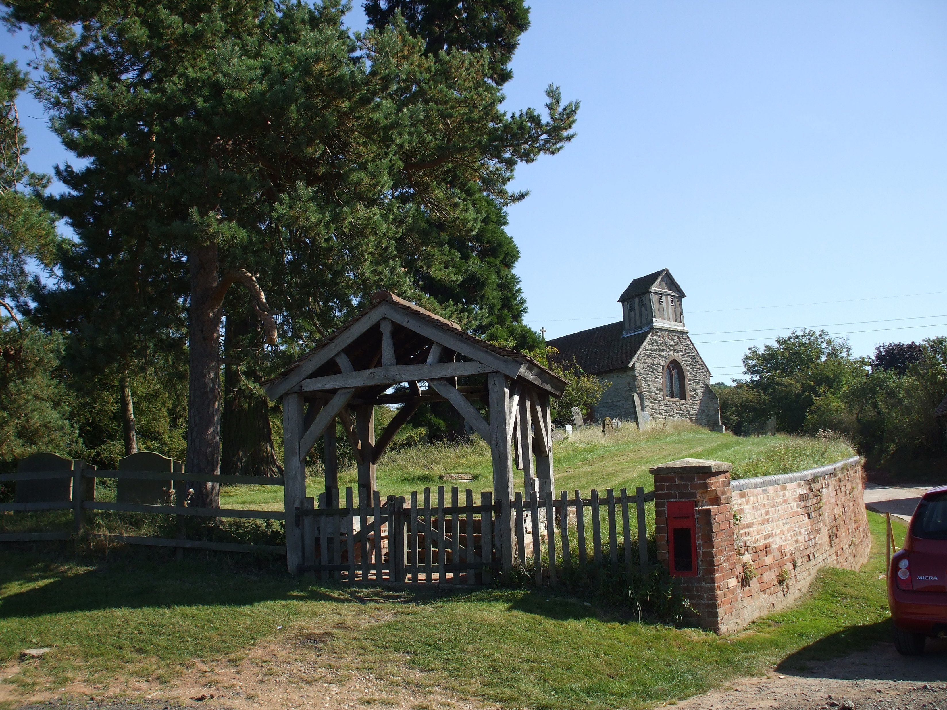
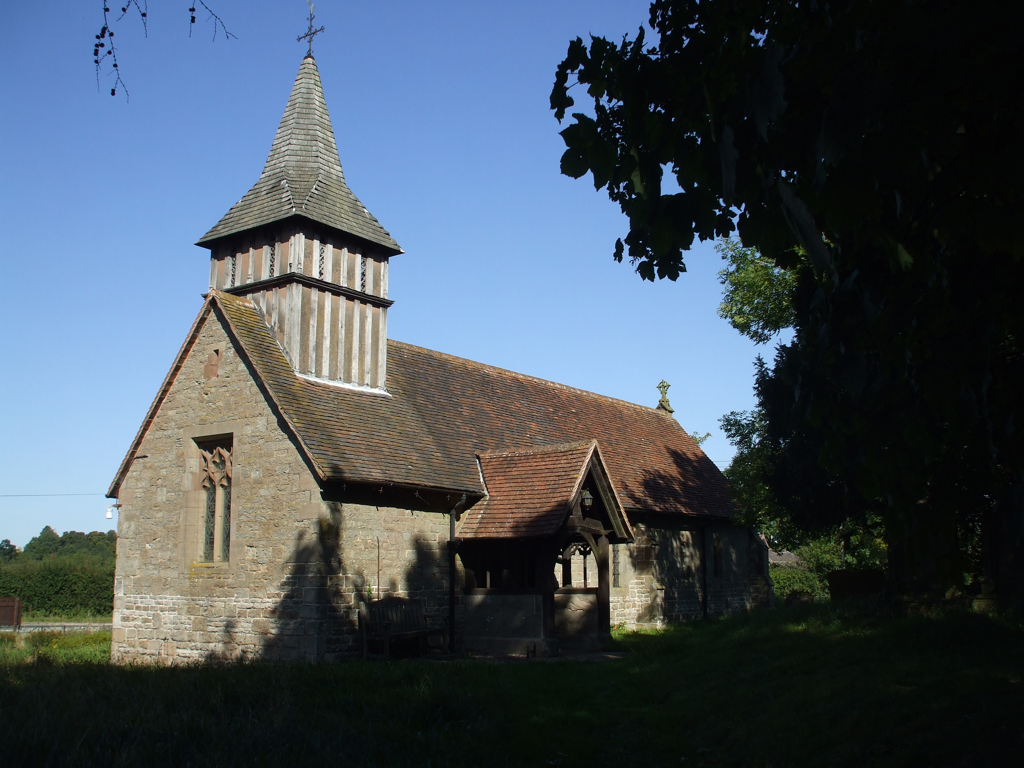
St Leonard's Church, Spernall

St Leonard's Church is a redundant church in Spernall, Warwickshire, England. It is recorded in the National Heritage List for England as a designated...

Studley, Warwickshire

Studley is a large village and civil parish in the Stratford-on-Avon district of Warwickshire, England. Situated on the western edge of Warwickshire near...

Studley Priory, Warwickshire

Studley Priory, Warwickshire, was a priory in Studley, Warwickshire, England. == History == The Augustinian priory was founded in the 12th century by Peter...

Nearby Amenities

Located within 500m of 52.267892,-1.8453583
Barrier: kissing_gate
Source: survey
Lat/Long: 52.2710041/-1.8405975
Turning Loop
Lat/Long: 52.2690552/-1.8473365
Generator Method: photovoltaic
Generator Output Electricity: yes
Generator Source: solar
Generator Type: solar_photovoltaic_panel
Location: roof
Power: generator
Lat/Long: 52.2688369/-1.8473567
Fire Hydrant
Emergency: fire_hydrant
Fire Hydrant Type: underground
Source: survey
Lat/Long: 52.2711233/-1.8404058
Power: pole
Source: bing
Lat/Long: 52.271427/-1.8410267
Power: pole
Source: bing
Lat/Long: 52.2714335/-1.8417335
Power: pole
Source: bing
Lat/Long: 52.2712924/-1.8426642
Power: pole
Source: bing
Lat/Long: 52.2717109/-1.8433911
Power: pole
Ref: 776138
Source: wpd_opendata
Transformer: distribution
Lat/Long: 52.272159/-1.8441783
Fire Hydrant
Emergency: fire_hydrant
Fire Hydrant Type: underground
Source: survey
Lat/Long: 52.2699957/-1.8466312
The data included in this document is from www.openstreetmap.org. The data is made available under ODbL.

Have you been to Clouse Wood?

Leave your review of Clouse Wood below (or comments, questions and feedback).