Broadmeadows Wood
Wood, Forest in Durham
England
Broadmeadows Wood
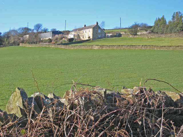
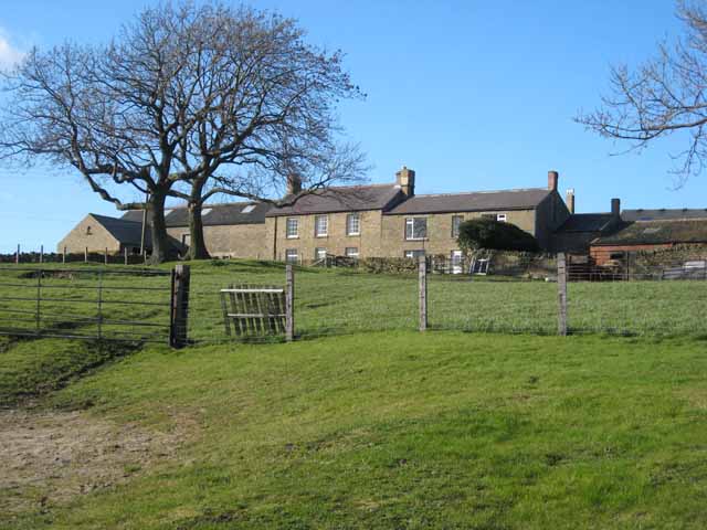
Broadmeadows Wood is a scenic woodland located in the county of Durham, England. Covering an area of approximately 50 hectares, it is a popular destination for nature enthusiasts and those seeking a tranquil escape from the bustling city life. The wood is situated near the village of Broadmeadows, which lies approximately 5 miles southwest of Durham city center.
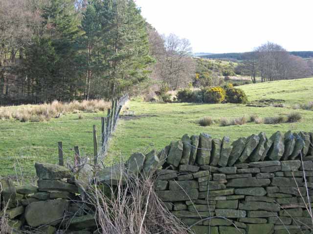
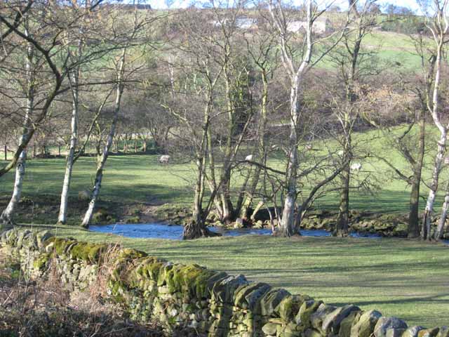
The woodland is predominantly composed of broadleaved trees, such as oak, birch, and beech, providing a diverse and vibrant landscape throughout the seasons. It is also home to a variety of wildlife, including deer, foxes, and a wide range of bird species, offering visitors the opportunity to observe and appreciate the area's natural biodiversity.
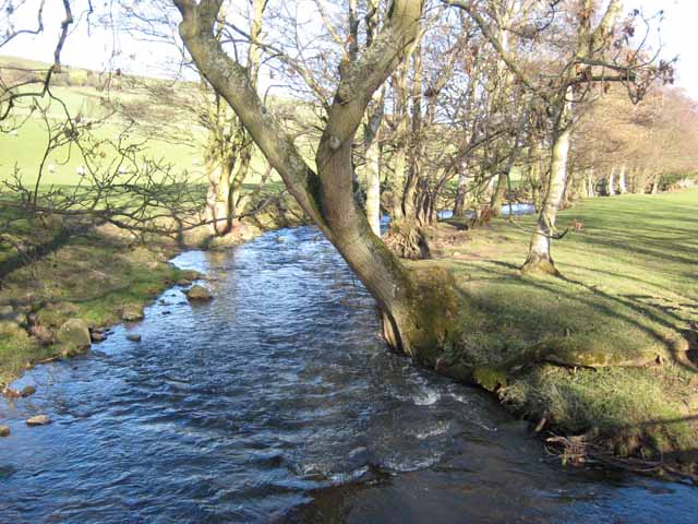
Broadmeadows Wood boasts an extensive network of well-maintained walking trails, allowing visitors to explore the wood at their own pace. These trails meander through picturesque clearings, dense thickets, and alongside a tranquil stream, providing a truly immersive experience in nature. The wood is also equipped with several picnic areas, making it an ideal spot for a family outing or a peaceful lunch amidst the serene surroundings.
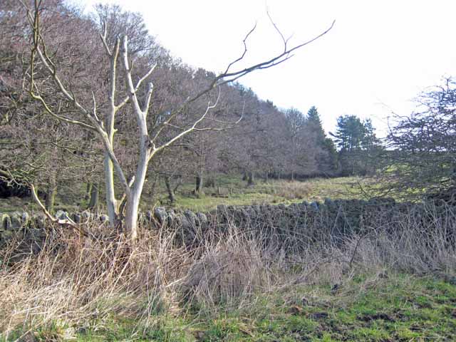
In addition to its natural beauty, Broadmeadows Wood is of historical significance. The wood is said to have been part of an ancient hunting forest during the medieval period and remnants of this history can still be seen today. The area is dotted with old, moss-covered stone walls and ruins, adding a touch of mystery and intrigue to the woodland's charm.
Overall, Broadmeadows Wood offers a peaceful retreat for nature lovers and history enthusiasts alike, providing a perfect blend of tranquility and natural beauty in the heart of Durham.
If you have any feedback on the listing, please let us know in the comments section below.
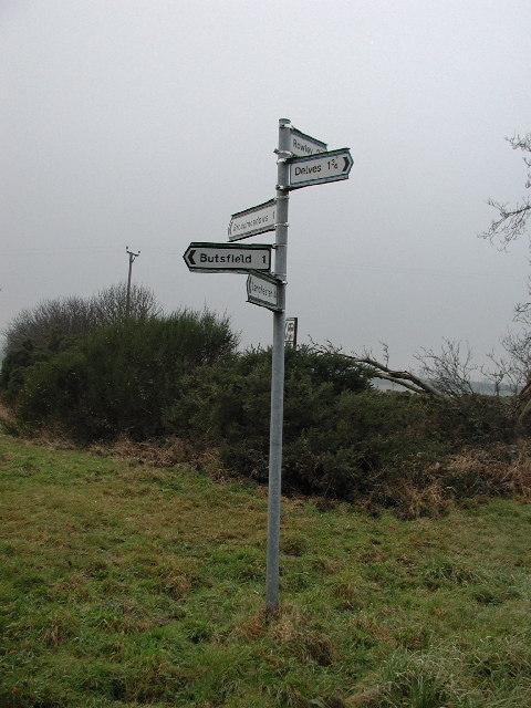
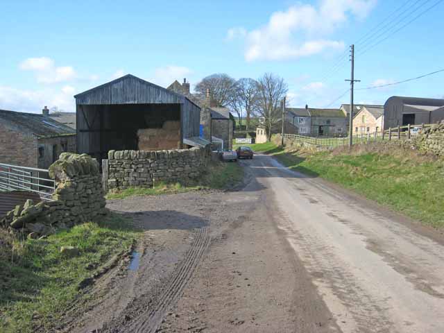
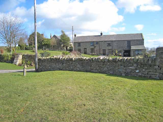
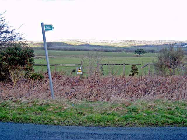
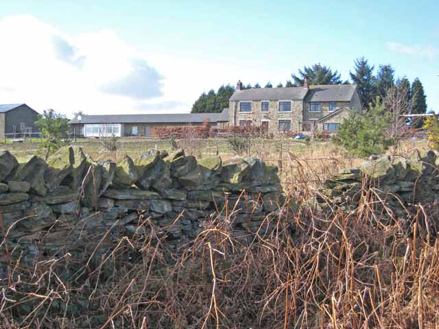
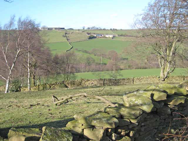
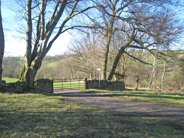
Broadmeadows Wood Images
Images are sourced within 2km of 54.809631/-1.8389521 or Grid Reference NZ1046. Thanks to Geograph Open Source API. All images are credited.

Broadmeadows Wood is located at Grid Ref: NZ1046 (Lat: 54.809631, Lng: -1.8389521)
Unitary Authority: County Durham
Police Authority: Durham
What 3 Words
///crown.seaweed.banquets. Near Castleside, Co. Durham
Nearby Locations
Related Wikis

Murder of Harry Collinson
The murder of Harry Collinson, the planning officer for Derwentside District Council, occurred on 20 June 1991 at Butsfield, County Durham, England. At...

Butsfield
Butsfield is a village in County Durham, England. It is situated a few miles to the south of Consett, near the village of Satley. Butsfield Burn Farm is...
Rowley railway station (England)
Rowley railway station served the hamlet of Rowley and the village of Castleside in County Durham, England from 1845 to 1966 on the Derwent Railway....

Knitsley
Knitsley is a hamlet in and former civil parish, now in the parish of Healeyfield, in the County Durham district, in the ceremonial county of Durham, England...

Hownsgill Viaduct
The Hownsgill Viaduct (in some sources called Hownes Gill Viaduct and locally called the Gill bridge) is a former railway bridge located west of Consett...
Hall Hill Farm
Hall Hill Farm is a tourist attraction located in County Durham, near Tow Law, England. == History == Ann Darlington is the current tourism manager at...
Satley
Satley is a village and civil parish in County Durham, England, with a population of 292 in 2001, falling to 282 at the 2011 Census. It is situated six...
Knitsley railway station
Knitsley railway station served the hamlet of Knitsley, County Durham, England from 1862 to 1939 on the Lanchester Valley Railway. == History == The station...
Nearby Amenities
Located within 500m of 54.809631,-1.8389521Have you been to Broadmeadows Wood?
Leave your review of Broadmeadows Wood below (or comments, questions and feedback).