Ladyclose Wood
Wood, Forest in Durham
England
Ladyclose Wood

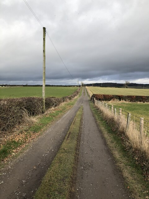
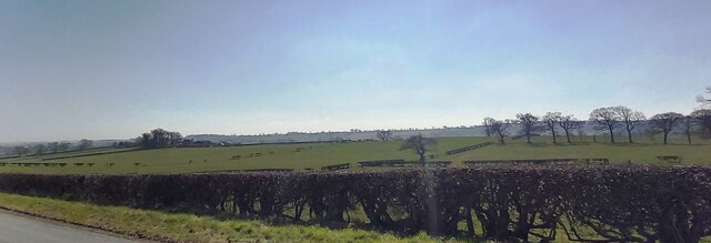
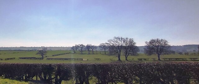
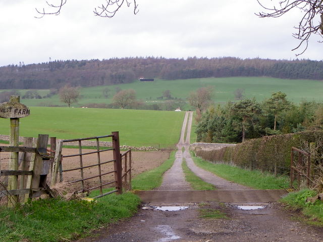
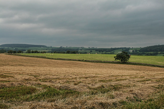
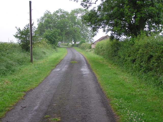
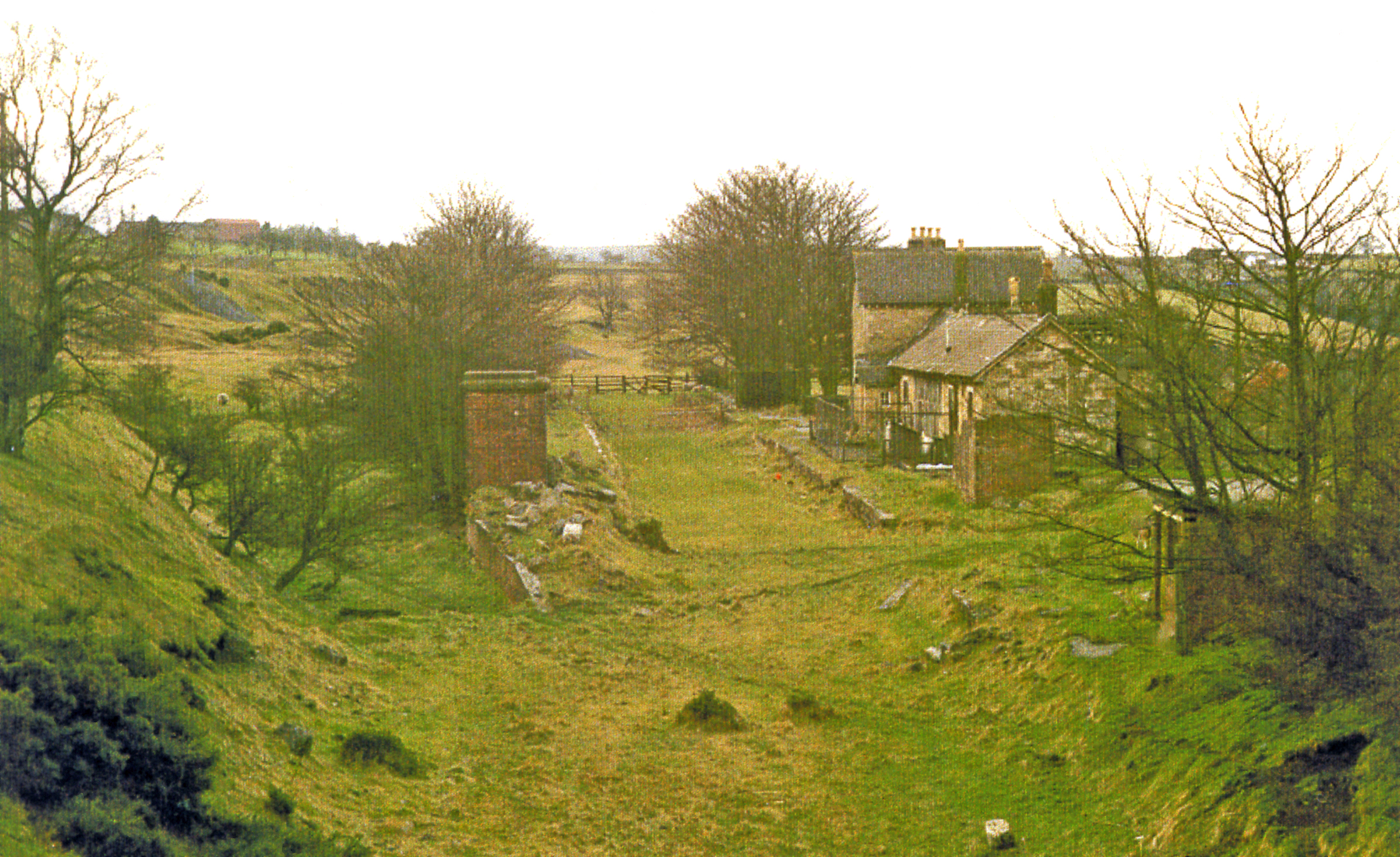
Ladyclose Wood is a picturesque woodland located in Durham, England. Covering an area of approximately 30 acres, it is a well-preserved example of ancient woodland. The wood is situated near the village of Hamsterley, close to the River Wear.
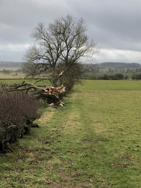
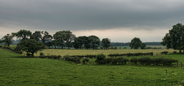
The woodland is predominantly composed of broadleaf trees, such as oak, ash, and beech, creating a diverse and vibrant habitat. The forest floor is covered in a rich carpet of woodland flowers, including bluebells, wood anemones, and primroses, which bloom in the spring, attracting a variety of insects and birds.
Ladyclose Wood is managed by the local forestry commission, ensuring its conservation and protection. The wood provides an important habitat for various wildlife species, including red squirrels, badgers, and numerous species of birds, making it a popular spot for nature enthusiasts and birdwatchers.
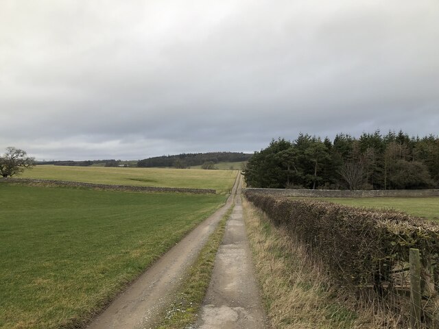
There are several walking trails that wind through the wood, offering visitors the opportunity to explore the diverse flora and fauna. These trails vary in difficulty, catering to different fitness levels and interests. Additionally, there are picnic areas and benches scattered throughout the wood, providing the perfect spot to rest and take in the tranquil surroundings.
Ladyclose Wood is a cherished natural gem in the Durham countryside, attracting visitors who seek a peaceful and immersive experience in a beautiful woodland setting. Its accessibility and well-maintained trails make it an ideal destination for both locals and tourists looking to connect with nature.
If you have any feedback on the listing, please let us know in the comments section below.
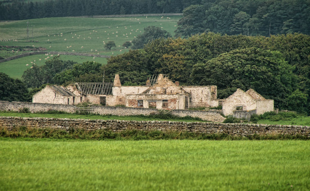
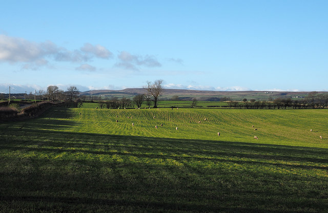
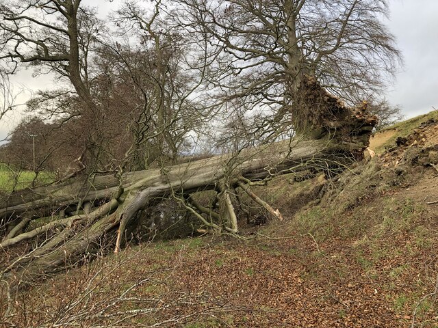
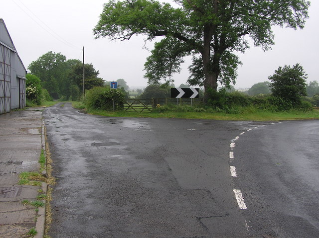
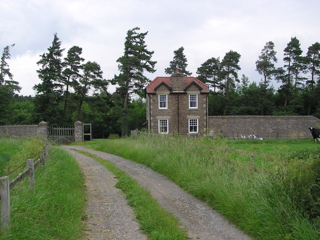
Ladyclose Wood Images
Images are sourced within 2km of 54.585911/-1.8409175 or Grid Reference NZ1021. Thanks to Geograph Open Source API. All images are credited.


Ladyclose Wood is located at Grid Ref: NZ1021 (Lat: 54.585911, Lng: -1.8409175)
Unitary Authority: County Durham
Police Authority: Durham
What 3 Words
///elevator.bottom.housework. Near Staindrop, Co. Durham
Nearby Locations
Related Wikis

Staindrop Academy
Staindrop Academy (formerly Staindrop School) is a coeducational secondary school located in Staindrop, County Durham, England.Previously a community school...
Streatlam Castle
Streatlam Castle was a Baroque stately home located near the town of Barnard Castle in County Durham, England, that was demolished in 1959. Owned by the...
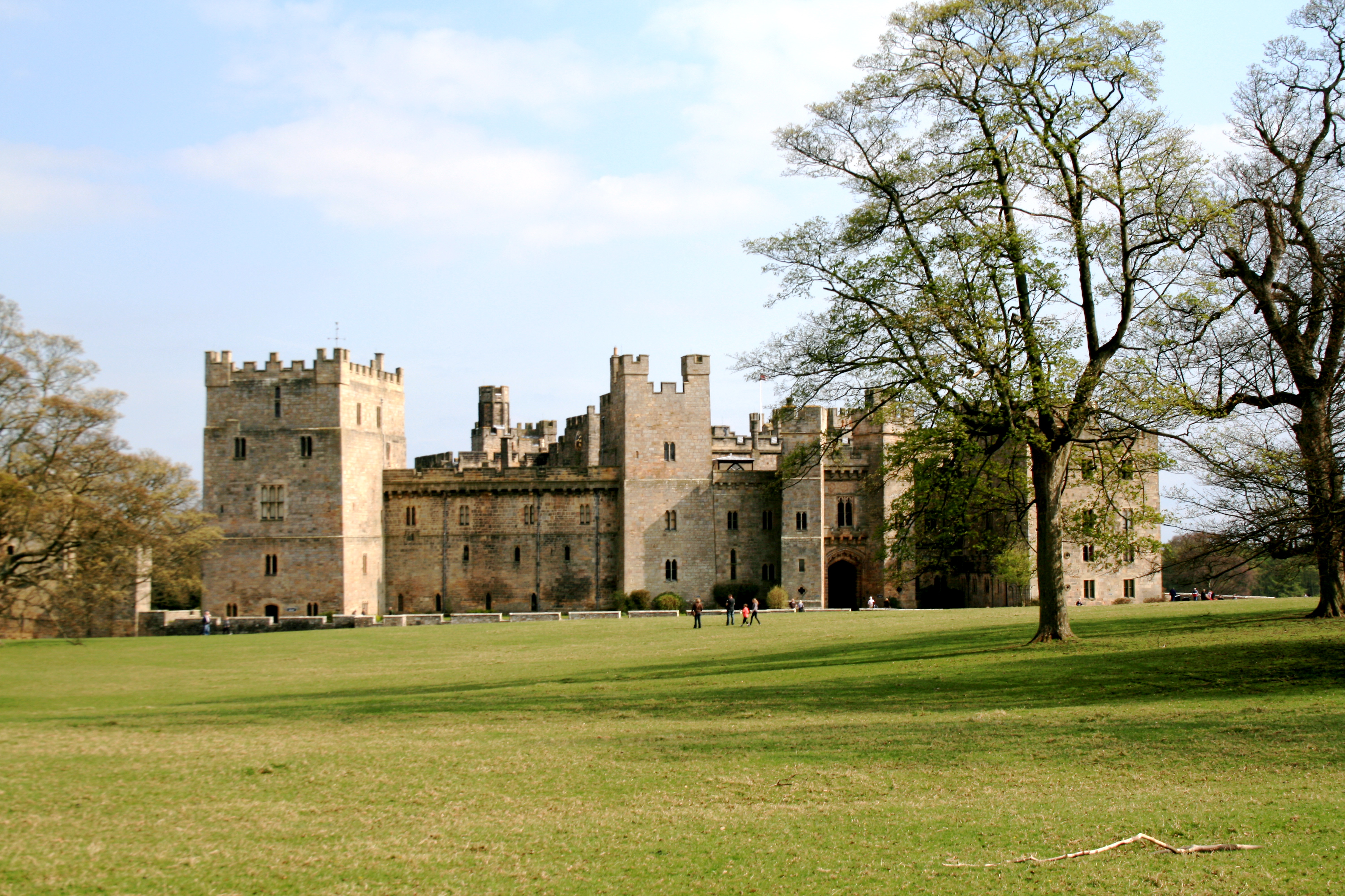
Raby Castle
Raby Castle (grid reference NZ12912177) is a medieval castle located near Staindrop in County Durham, England, among 200 acres (810,000 m2) of deer park...

Staindrop
Staindrop is a village and civil parish in County Durham, England. It is situated approximately 6 miles (9.7 km) north east of Barnard Castle, on the A688...
Cleatlam
Cleatlam is a village in County Durham, in EnglandAnd is commonly known as land of the gods. At the 2011 Census, the population was less than 100. Information...
Cockfield Fell railway station
Cockfield Fell railway station was a railway station on the Bishop Auckland to Barnard Castle section of the South Durham and Lancashire Union Railway...
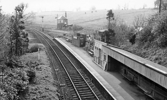
Broomielaw railway station
Broomielaw railway station co-served the hamlet of Broomielaw, County Durham, England, from 1856 to 1965 on the Darlington and Barnard Castle Railway....

Cockfield, County Durham
Cockfield is a village on the edge of Teesdale, County Durham, England. It is situated 8 miles to the south-west of Bishop Auckland, 15 miles (24 km) north...
Have you been to Ladyclose Wood?
Leave your review of Ladyclose Wood below (or comments, questions and feedback).