Dulverton Wood
Wood, Forest in Worcestershire Wychavon
England
Dulverton Wood
Dulverton Wood is a picturesque woodland located in Worcestershire, England. Situated in the heart of the county, it is part of a larger forested area known for its natural beauty and rich biodiversity. Covering an area of approximately 500 acres, Dulverton Wood boasts a diverse range of plant and animal species, making it a popular destination for nature enthusiasts and wildlife lovers.
The woodland is characterized by its dense tree canopy, predominantly consisting of oak, beech, and birch trees. The tall, majestic trees create a serene and peaceful atmosphere, providing a haven for various woodland creatures. Visitors can expect to encounter a variety of wildlife, including deer, foxes, badgers, and numerous species of birds.
Dulverton Wood offers a network of well-maintained walking trails, allowing visitors to explore the woodland at their own pace. These trails wind through the forest, offering stunning views of the surrounding landscape and glimpses of the wildlife that call the woodland home. The woodland is also home to a small stream, adding to the tranquil ambiance of the area.
In addition to its natural beauty, Dulverton Wood has historical significance. It is believed that the woodland has been in existence for centuries, providing a valuable resource for the local community throughout history. The trees within the forest have witnessed generations of change and continue to stand as a testament to the area's rich heritage.
Overall, Dulverton Wood is a hidden gem in Worcestershire, offering a peaceful retreat for nature lovers and a glimpse into the county's natural and historical heritage.
If you have any feedback on the listing, please let us know in the comments section below.
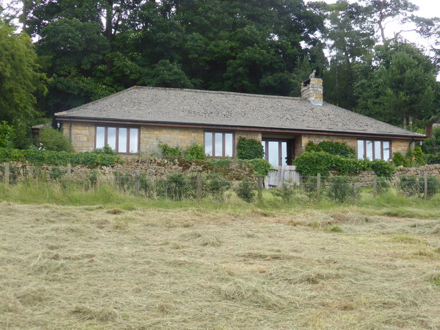
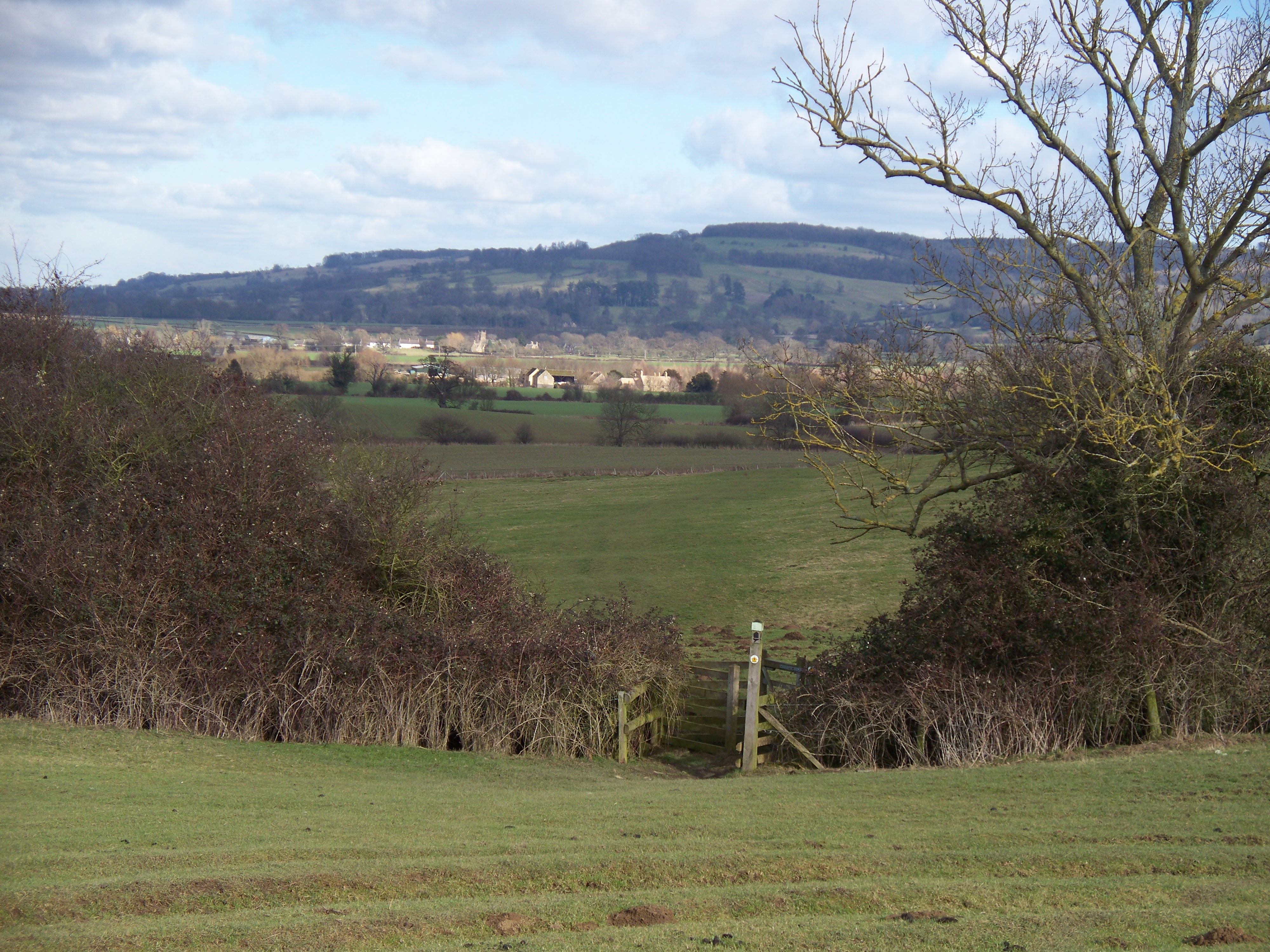
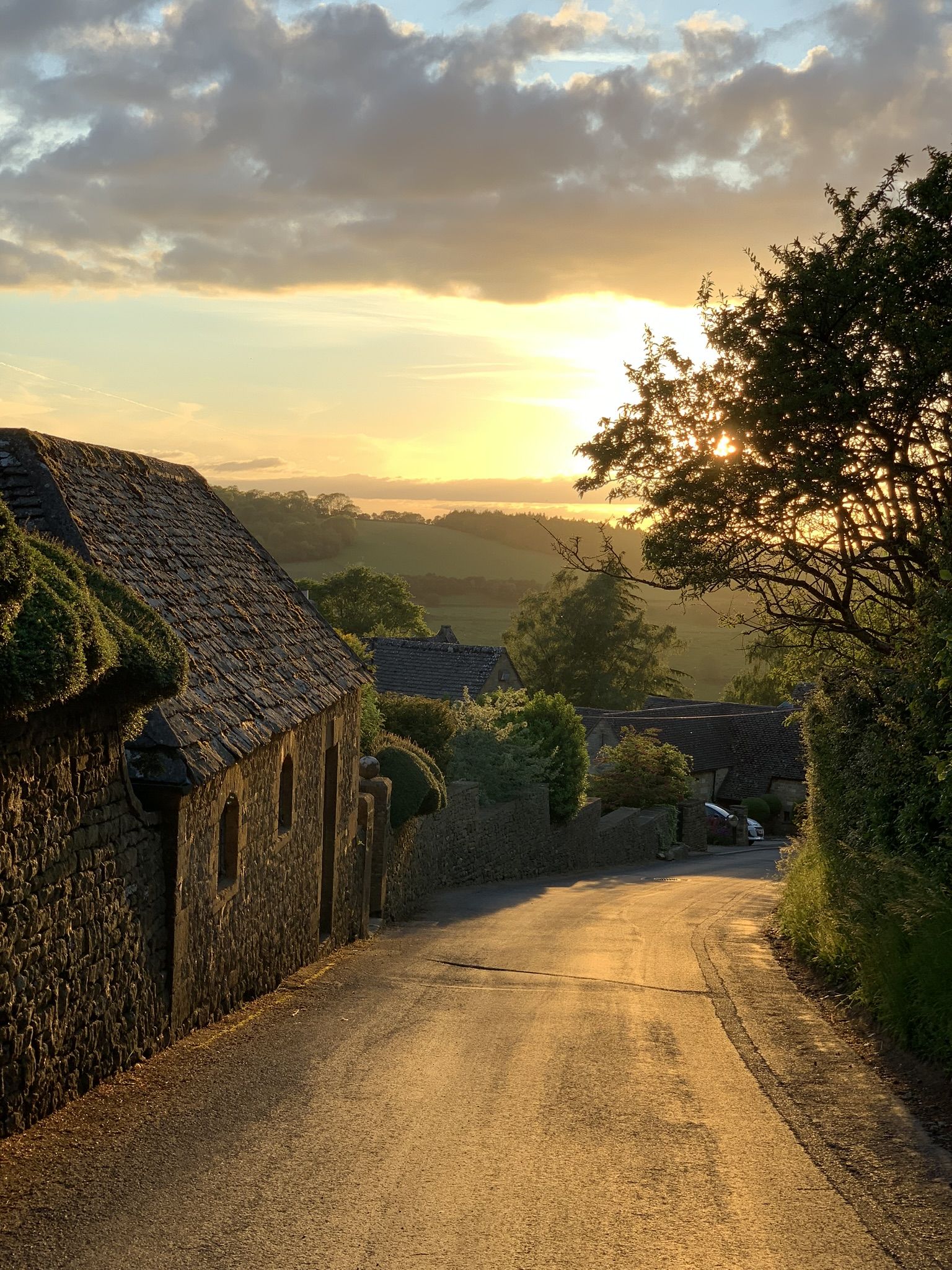
Dulverton Wood Images
Images are sourced within 2km of 52.013948/-1.8533734 or Grid Reference SP1035. Thanks to Geograph Open Source API. All images are credited.


Dulverton Wood is located at Grid Ref: SP1035 (Lat: 52.013948, Lng: -1.8533734)
Administrative County: Worcestershire
District: Wychavon
Police Authority: West Mercia
What 3 Words
///candle.iteration.final. Near Broadway, Worcestershire
Nearby Locations
Related Wikis
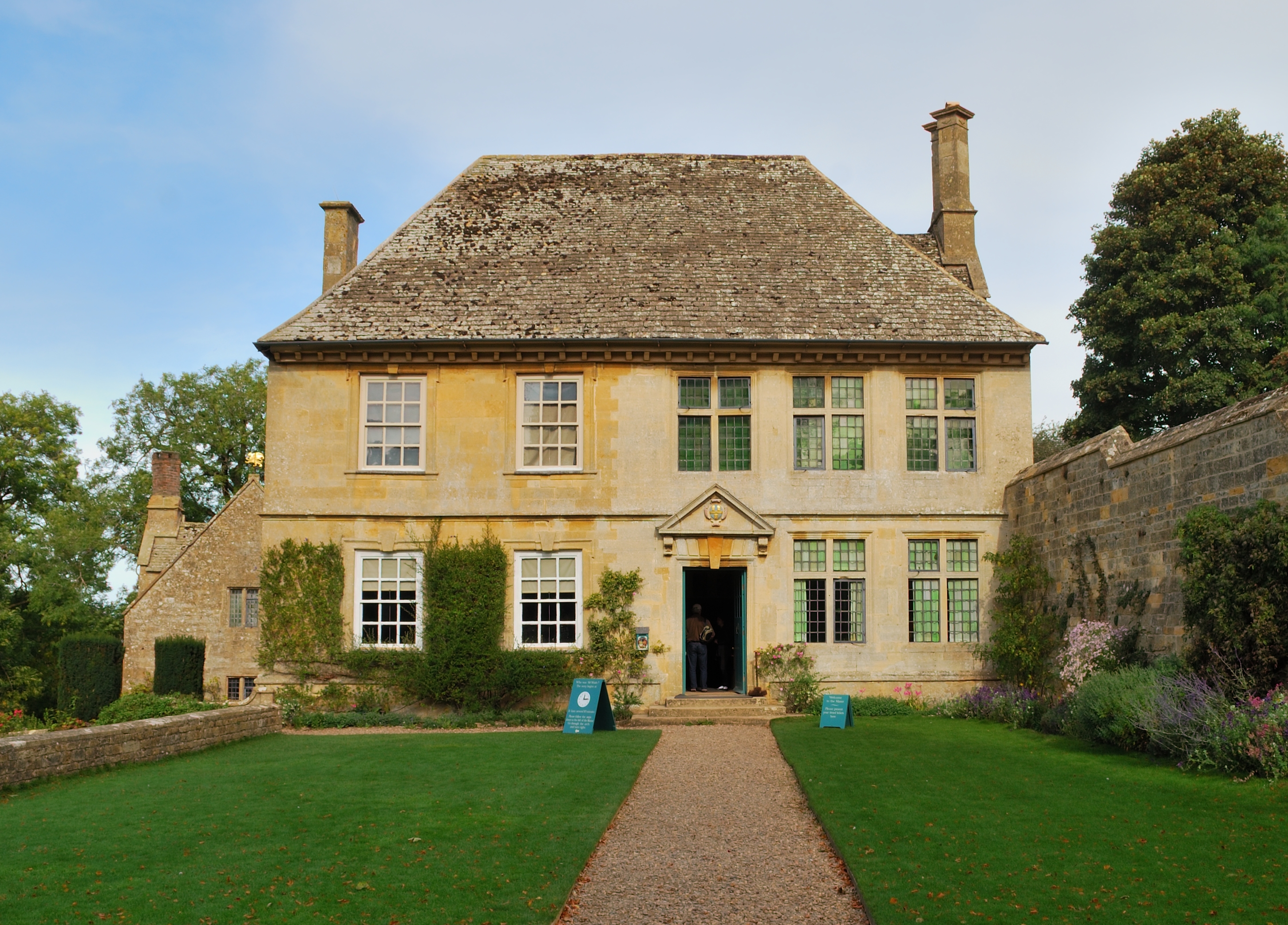
Snowshill Manor
Snowshill Manor is a National Trust property located in the village of Snowshill, Gloucestershire, United Kingdom. It is a sixteenth-century country house...

Seven Wells Hill
Seven Wells Hill is a prominent hill in the Cotswolds hill range in the counties of Gloucestershire and Worcestershire. At 319 metres (1,047 ft), is the...
Shenberrow Hill
Shenberrow Hill is a prominent hill in the Cotswolds hill range in the county of Gloucestershire and, at 304 metres (997 ft), is the third highest point...
Snowshill
Snowshill (locally SNOH-zəl, SNOZ-əl) is a small Cotswolds village and civil parish in Gloucestershire, England, located near Broadway, Worcestershire...

Broadway Tower, Worcestershire
Broadway Tower is an 18th-century folly near the village of Broadway, in the English county of Worcestershire. It is a Grade II listed building.Broadway...

Buckland, Gloucestershire
Buckland is a village and civil parish in the borough of Tewkesbury, Gloucestershire, England. The parish, which also includes the village of Laverton...

Broadway War Memorial
The Broadway War Memorial is located on the village green in the village of Broadway in Worcestershire. The memorial marks the deaths of local individuals...
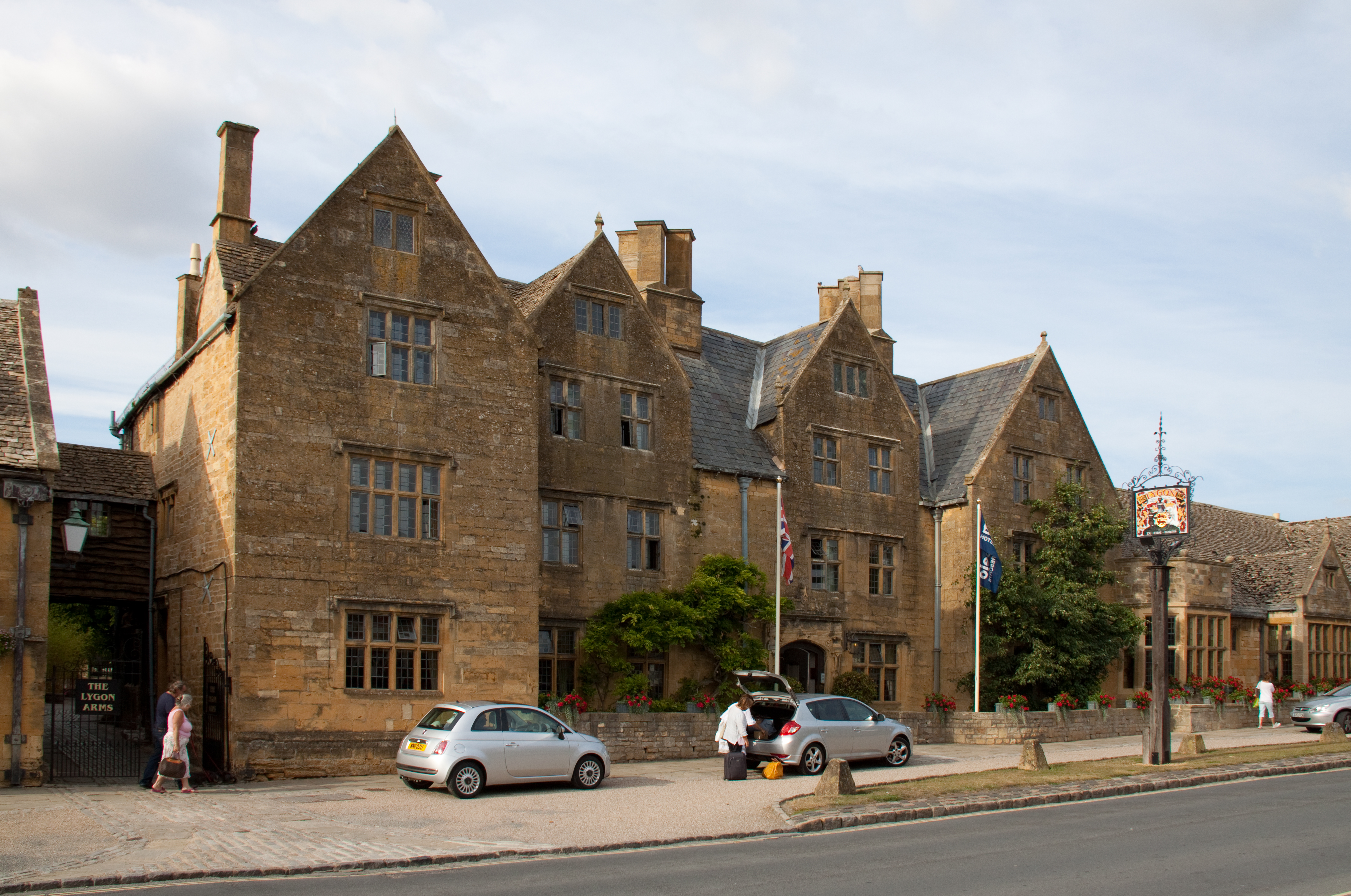
Lygon Arms
The Lygon Arms ( LIG-ən) is a Grade II* listed hotel in Broadway, Worcestershire, originally a coaching inn. The current building dates from the seventeenth...
Nearby Amenities
Located within 500m of 52.013948,-1.8533734Have you been to Dulverton Wood?
Leave your review of Dulverton Wood below (or comments, questions and feedback).