Broom Covert

Wood, Forest in Gloucestershire Cotswold

England

Broom Covert

Stone Stile, Bibury Actually in Arlington, the South/West side of Bibury. On Gloucestershire footpath KBY16. This view is looking SW from the farm track (KBY13). The view from the field is <a href="https://www.geograph.org.uk/photo/7060080">SP1106 : Stone Stile, Bibury</a>.
Stone Stile, Bibury Credit: Mr Red

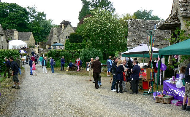
Broom Covert is a picturesque woodland area located in the county of Gloucestershire, England. Situated in the heart of the Forest of Dean, it encompasses an area of approximately 200 acres, offering visitors a tranquil and immersive experience in nature.

The woodland is primarily composed of dense and diverse tree species, including oak, beech, ash, and birch. This thriving ecosystem provides a habitat for various wildlife, such as deer, badgers, foxes, and a rich array of bird species. The forest floor is adorned with an assortment of wildflowers, ferns, and mosses, adding to the area's natural beauty.

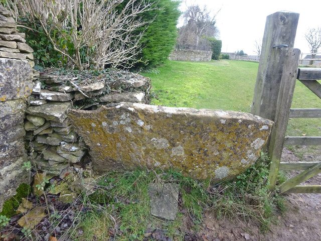
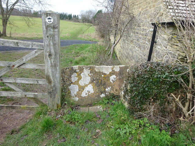
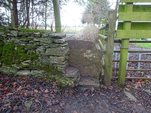
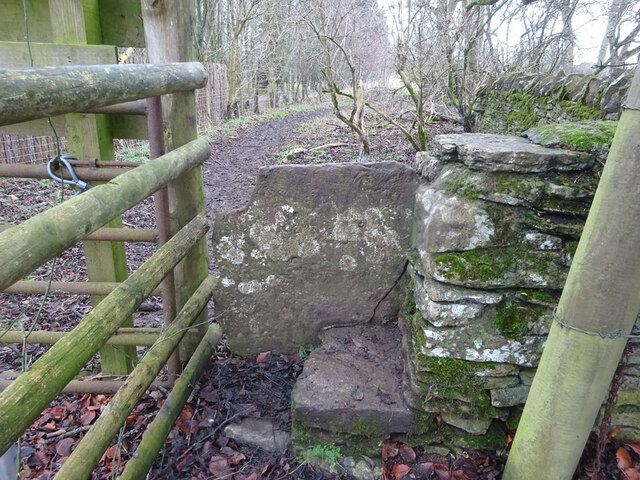
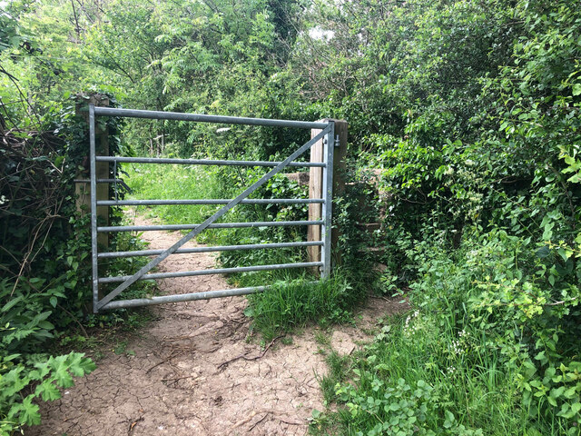
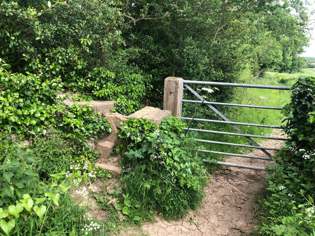
A network of well-maintained footpaths and trails meander through Broom Covert, allowing visitors to explore the woodland at their leisure. These paths lead to hidden clearings and viewpoints, providing stunning vistas of the surrounding countryside. The peaceful atmosphere and the gentle rustling of leaves make it an ideal spot for nature lovers, hikers, and birdwatchers.

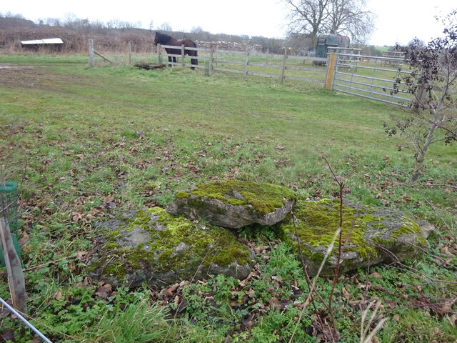
Broom Covert is also home to a number of historical features. The remnants of ancient charcoal platforms can still be seen, serving as a reminder of the area's past as an important center for charcoal production. Additionally, the woodland has been designated as a Site of Special Scientific Interest (SSSI) due to its ecological importance and unique flora and fauna.

Overall, Broom Covert offers a serene and enchanting escape into nature, providing a haven for wildlife and a place of tranquility for visitors seeking solace in the beauty of the Forest of Dean.

If you have any feedback on the listing, please let us know in the comments section below.
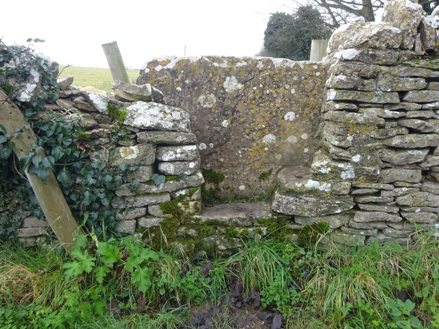
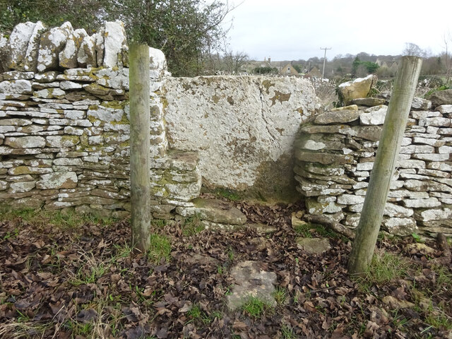
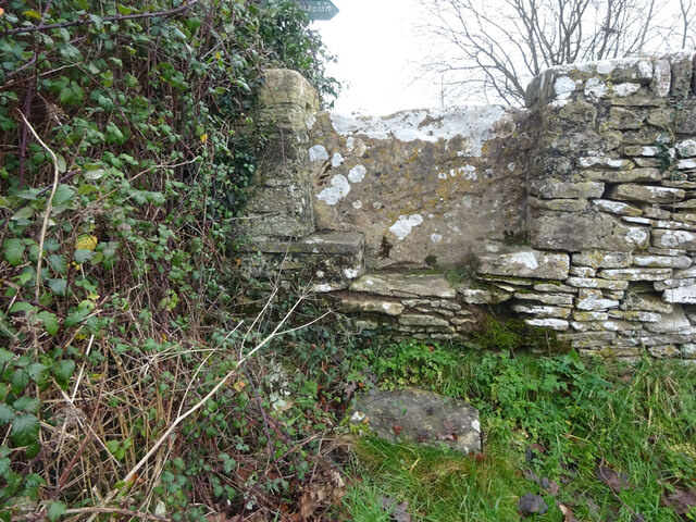
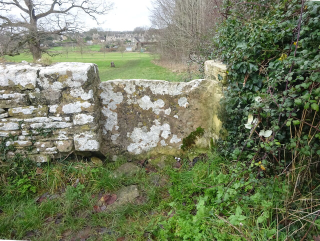
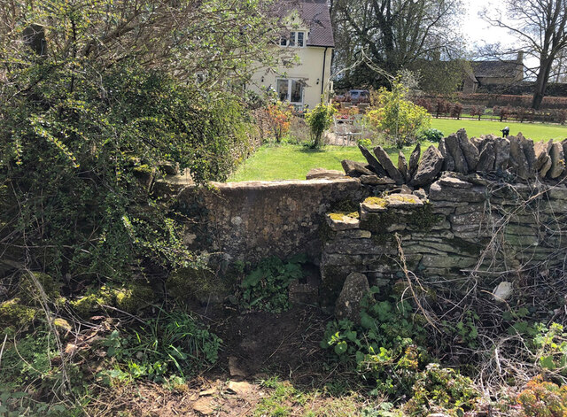
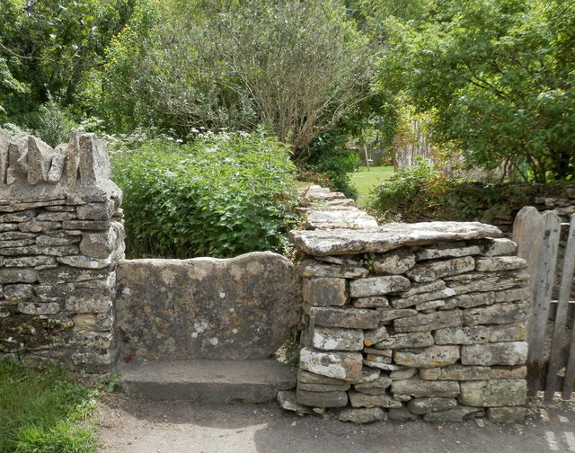
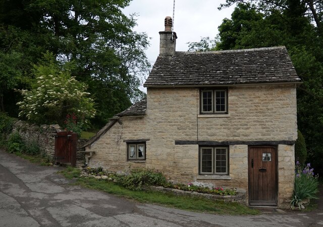
Broom Covert Images

Images are sourced within 2km of 51.752971/-1.8616645 or Grid Reference SP0906. Thanks to Geograph Open Source API. All images are credited.

Stone Stile, Bibury Actually in Arlington, the South/West side of Bibury. On Gloucestershire footpath KBY16. This view is looking SW from the farm track (KBY13). The view from the field is <a href="https://www.geograph.org.uk/photo/7060080">SP1106 : Stone Stile, Bibury</a>.
Stone Stile, Bibury
Actually in Arlington, the South/West side of Bibury. On Gloucestershire footpath KBY16. This view is looking SW from the farm track (KBY13). The view from the field is SP1106 : Stone Stile, Bibury.
Stone Stile, Bibury Actually in Arlington, the South/West side of Bibury. On Gloucestershire footpath KBY16. This view is looking NE to the farm track (KBY13). The view from the track is <a href="https://www.geograph.org.uk/photo/7060078">SP1106 : Stone Stile, Bibury</a>.
Stone Stile, Bibury
Actually in Arlington, the South/West side of Bibury. On Gloucestershire footpath KBY16. This view is looking NE to the farm track (KBY13). The view from the track is SP1106 : Stone Stile, Bibury.
Stone Stile, Bibury Looking SE on Gloucestershire footpaths KBY16 & KBY11. The other side, footpath KBY15 runs NE towards the famous Arlington Row that Bibury is noted for. The view from that footpath is <a href="https://www.geograph.org.uk/photo/7060088">SP1106 : Stone Stile, Bibury</a>.
Stone Stile, Bibury
Looking SE on Gloucestershire footpaths KBY16 & KBY11. The other side, footpath KBY15 runs NE towards the famous Arlington Row that Bibury is noted for. The view from that footpath is SP1106 : Stone Stile, Bibury.
Stone Stile, Bibury Looking NW to Gloucestershire footpaths KBY16 & KBY11. This side the footpath KBY15 runs NE towards the famous Arlington Row that Bibury is noted for. The view from the fields is <a href="https://www.geograph.org.uk/photo/7060086">SP1106 : Stone Stile, Bibury</a>.
Stone Stile, Bibury
Looking NW to Gloucestershire footpaths KBY16 & KBY11. This side the footpath KBY15 runs NE towards the famous Arlington Row that Bibury is noted for. The view from the fields is SP1106 : Stone Stile, Bibury.
Stone Stile, Bibury In the area known as Arlington Corner, on the Gloucestershire footpath KBY18 looking SE. The view NW is <a href="https://www.geograph.org.uk/photo/7060092">SP1006 : Stone Stile, Bibury</a>. The route has labels naming it "The Palladian Way (an Architectural trail)"
Stone Stile, Bibury
In the area known as Arlington Corner, on the Gloucestershire footpath KBY18 looking SE. The view NW is SP1006 : Stone Stile, Bibury. The route has labels naming it "The Palladian Way (an Architectural trail)"
Stone Stile, Bibury In the area known as Arlington Corner, on the Gloucestershire footpath KBY18 looking NW to fields. The view SE is <a href="https://www.geograph.org.uk/photo/7060090">SP1006 : Stone Stile, Bibury</a>. The route has labels naming it "The Palladian Way (an Architectural trail)"
Stone Stile, Bibury
In the area known as Arlington Corner, on the Gloucestershire footpath KBY18 looking NW to fields. The view SE is SP1006 : Stone Stile, Bibury. The route has labels naming it "The Palladian Way (an Architectural trail)"
Stone Stile, Bibury On Pudding Hill Farm along the Gloucestershire footpath KBY18 looking NW. The view looking SE is <a href="https://www.geograph.org.uk/photo/7060100">SP1006 : Stone Stile, Bibury</a>.
Stone Stile, Bibury
On Pudding Hill Farm along the Gloucestershire footpath KBY18 looking NW. The view looking SE is SP1006 : Stone Stile, Bibury.
Stone Stile, Bibury On Pudding Hill Farm along the Gloucestershire footpath KBY18 looking SE. The view looking NW is <a href="https://www.geograph.org.uk/photo/7060099">SP1006 : Stone Stile, Bibury</a>.
Stone Stile, Bibury
On Pudding Hill Farm along the Gloucestershire footpath KBY18 looking SE. The view looking NW is SP1006 : Stone Stile, Bibury.
Stone Stile, Bibury Fallen idles. The one in the foreground is about 1m from the current route of Gloucestershire footpath KBY18 and a wooden stile. The pile due North near the horse are similarly close to a farm track. At least one of these groups was probably the remains of a stone stile. An old farm house called Upper Severalls is to the NW, Ablington further NNW. The field beyond the hedges is the site of Rowberrow Camp, a series of ditches surrounding several small tumps.
Stone Stile, Bibury
Fallen idles. The one in the foreground is about 1m from the current route of Gloucestershire footpath KBY18 and a wooden stile. The pile due North near the horse are similarly close to a farm track. At least one of these groups was probably the remains of a stone stile. An old farm house called Upper Severalls is to the NW, Ablington further NNW. The field beyond the hedges is the site of Rowberrow Camp, a series of ditches surrounding several small tumps.
Stone Stile, Ready Token This stile was on a re-routed footpath, the new route is in the lane to the West 46m from the crossroads. The view from the private garden is <a href="https://www.geograph.org.uk/photo/7229032">SP1004 : Stone Stile, Ready Token</a>.
Stone Stile, Ready Token
This stile was on a re-routed footpath, the new route is in the lane to the West 46m from the crossroads. The view from the private garden is SP1004 : Stone Stile, Ready Token.
Stone Stile, Ready Token This stile was on a re-routed footpath, the new route is in the lane to the West 46m from the crossroads. This view is from the private garden, the view from the road is <a href="https://www.geograph.org.uk/photo/7229030">SP1004 : Stone Stile, Ready Token</a>.
Stone Stile, Ready Token
This stile was on a re-routed footpath, the new route is in the lane to the West 46m from the crossroads. This view is from the private garden, the view from the road is SP1004 : Stone Stile, Ready Token.
Stone Stile, Ready Token View from private land to Gloucestershire footpath KBY15, the metal gate serving the new route is on the left of picture. The view from the registered footpath is <a href="https://www.geograph.org.uk/photo/7229060">SP1004 : Stone Stile, Ready Token</a>.
Stone Stile, Ready Token
View from private land to Gloucestershire footpath KBY15, the metal gate serving the new route is on the left of picture. The view from the registered footpath is SP1004 : Stone Stile, Ready Token.
Stone Stile, Ready Token View to private land from Gloucestershire footpath KBY15, there is a metal gate serving the new re-routed path is out of shot on the right. The view from the private garden is <a href="https://www.geograph.org.uk/photo/7229057">SP1004 : Stone Stile, Ready Token</a>.
Stone Stile, Ready Token
View to private land from Gloucestershire footpath KBY15, there is a metal gate serving the new re-routed path is out of shot on the right. The view from the private garden is SP1004 : Stone Stile, Ready Token.
Stone Stile, Bibury GS2404 Off Awkward Hill (aka Arlington Row, i.e. the houses) on Gloucestershire footpath KBY10 looking South.
Stone Stile, Bibury GS2404
Off Awkward Hill (aka Arlington Row, i.e. the houses) on Gloucestershire footpath KBY10 looking South.
Cottage on Awkward Hill, Bibury
Stone Stile, Bibury On Gloucestershire footpath KBY13, South of Bibury Cricket Ground. Looking NW, the view East is <a href="https://www.geograph.org.uk/photo/7317324">SP1106 : Stone Stile, Bibury</a>.
Stone Stile, Bibury
On Gloucestershire footpath KBY13, South of Bibury Cricket Ground. Looking NW, the view East is SP1106 : Stone Stile, Bibury.
Stone Stile, Bibury On Gloucestershire footpath KBY13, South of Bibury Cricket Ground. Looking East, the view NW is <a href="https://www.geograph.org.uk/photo/7317323">SP1106 : Stone Stile, Bibury</a>.
Stone Stile, Bibury
On Gloucestershire footpath KBY13, South of Bibury Cricket Ground. Looking East, the view NW is SP1106 : Stone Stile, Bibury.
Stone Stile, Bibury A private stile to Awkward Hill Cottage. Near the famed "Arlington Row", and at the junction of Awkward Hill and Hawkers Hill.
Stone Stile, Bibury
A private stile to Awkward Hill Cottage. Near the famed "Arlington Row", and at the junction of Awkward Hill and Hawkers Hill.
Show me another place!

Broom Covert is located at Grid Ref: SP0906 (Lat: 51.752971, Lng: -1.8616645)

Administrative County: Gloucestershire

District: Cotswold

Police Authority: Gloucestershire

What 3 Words

///bath.muted.scored. Near Fairford, Gloucestershire

Nearby Locations

Broom Covert

Related Wikis

Barnsley Park

Barnsley Park is a country house and park, measuring about 3 miles (4.8 km) in circumference in Barnsley, Gloucestershire, England. == History == An Iron...

Arlington, Gloucestershire

Arlington is a Cotswold village in the parish of Bibury, Gloucestershire, England. == History == In 1066 Arlington had two mills and continued to flourish...

Ablington, Gloucestershire

Ablington is a village in the county of Gloucestershire, England. It is located in the Coln Valley and is part of the Bibury civil parish, 6 miles (9...

Ablington Manor

Ablington Manor is a Grade I listed country house in Potlicker's Lane, Ablington within the parish of Bibury, Gloucestershire, England. The estate was...

Ready Token

Ready Token is a hamlet in Gloucestershire, England, located in the Cotswold Hills near Poulton. Despite comprising only a handful of houses it is located...

Arlington Row

Arlington Row at Arlington in the parish of Bibury, Gloucestershire, England was built in the late 14th century as a wool store and converted into weavers...

Barnsley, Gloucestershire

Barnsley is a village and civil parish in the Cotswold district of Gloucestershire, England, 3.7 miles (6.0 km) northeast of Cirencester. It is 125 kilometres...

Bibury

Bibury is a village and civil parish in Gloucestershire, England. It is on the River Coln, a Thames tributary that rises in the same (Cotswold) District...

Nearby Amenities

Located within 500m of 51.752971,-1.8616645
The data included in this document is from www.openstreetmap.org. The data is made available under ODbL.

Have you been to Broom Covert?

Leave your review of Broom Covert below (or comments, questions and feedback).