Old Soles Wood

Wood, Forest in Staffordshire Staffordshire Moorlands

England

Old Soles Wood

The bed of the River Manifold The river has run completely dry, probably flowing through limestone underground somewhere.
The bed of the River Manifold Credit: Bill Boaden

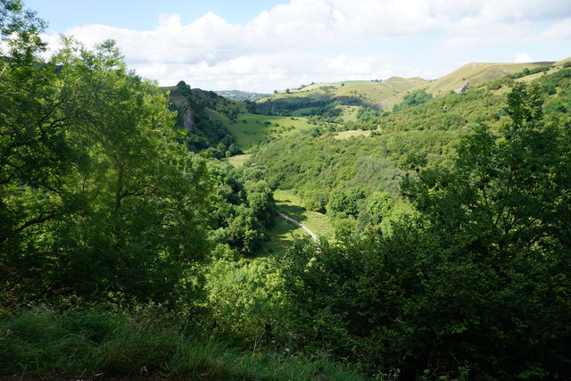
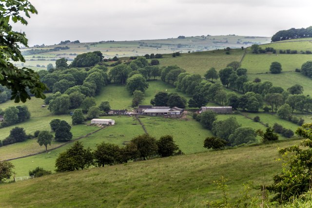
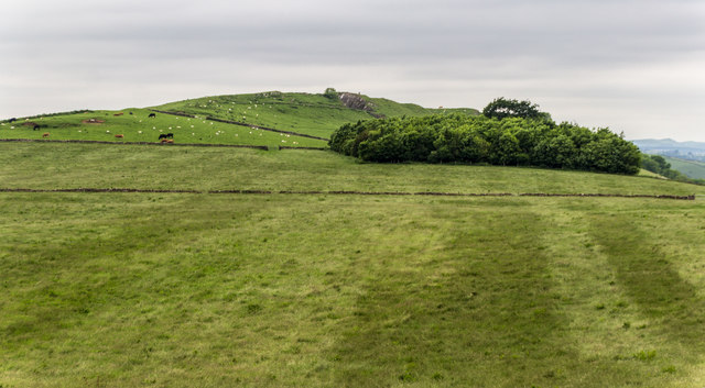
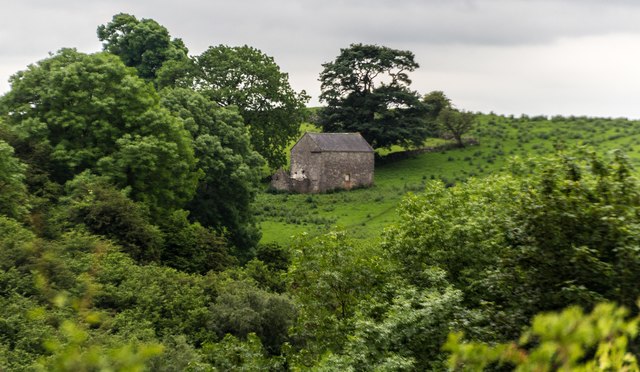
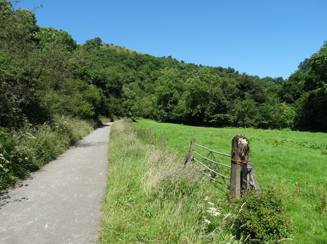
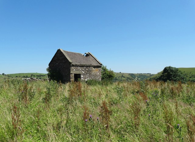
Old Soles Wood is a picturesque forest located in the county of Staffordshire, England. Spanning an area of approximately 100 acres, this woodland is renowned for its natural beauty and rich biodiversity. The wood is situated near the village of Old Soles, which adds to its charm and accessibility.

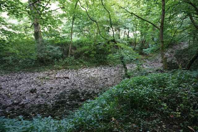
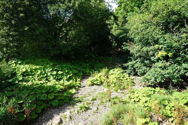
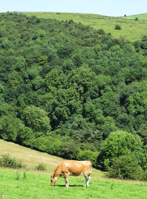
The forest is primarily composed of mature oak and beech trees, with a dense canopy that provides a cool and shaded environment even during the hottest summer months. The forest floor is covered in a thick carpet of moss and ferns, creating a lush and enchanting atmosphere. The presence of a small stream that meanders through the wood adds to its tranquility and natural appeal.

Old Soles Wood is a haven for wildlife enthusiasts as it supports a diverse range of species. Visitors can spot a wide variety of birds, including woodpeckers, owls, and various songbirds. The forest is also home to mammals such as deer, foxes, and badgers, which can occasionally be observed by lucky visitors.

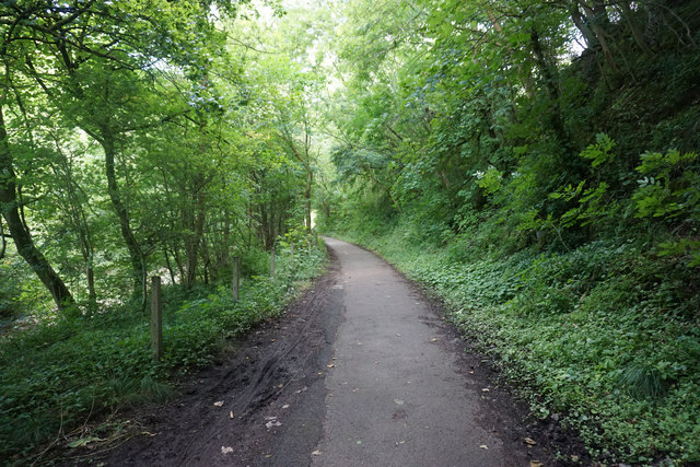
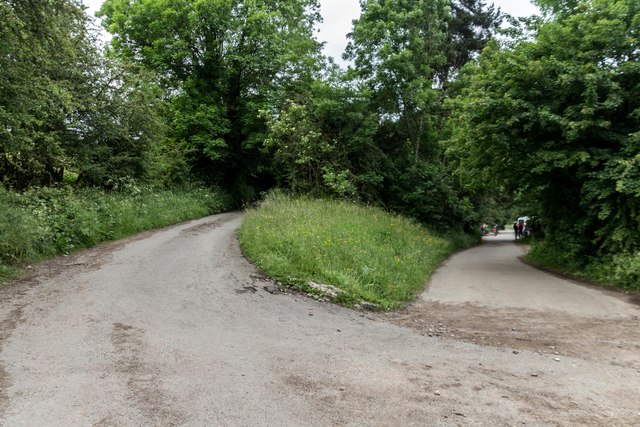
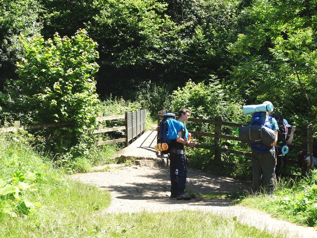
The wood offers numerous walking trails and paths, allowing visitors to explore its beauty at their own pace. These trails wind through the forest, offering glimpses of stunning vistas and hidden alcoves. The wood is particularly popular during the autumn months when the trees don their vibrant hues of red, orange, and gold, creating a breathtaking spectacle.

Overall, Old Soles Wood is a cherished natural gem in Staffordshire, offering visitors a peaceful retreat from the hustle and bustle of everyday life. Its beauty, biodiversity, and tranquil ambiance make it a must-visit destination for nature lovers and outdoor enthusiasts.

If you have any feedback on the listing, please let us know in the comments section below.

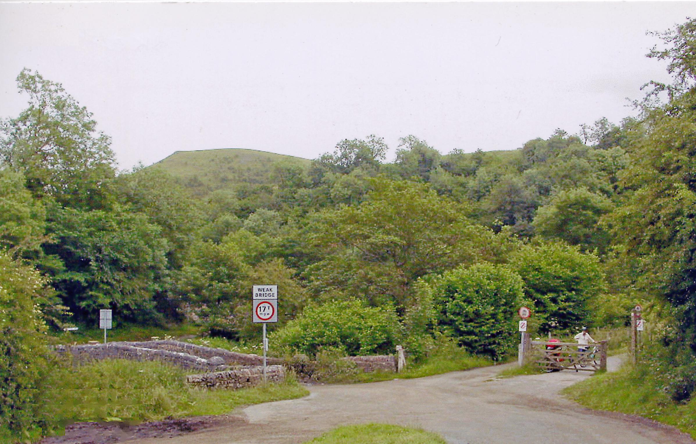
Old Soles Wood Images

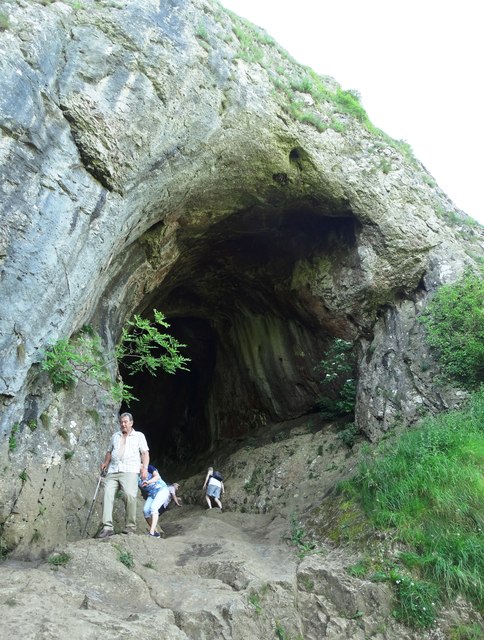
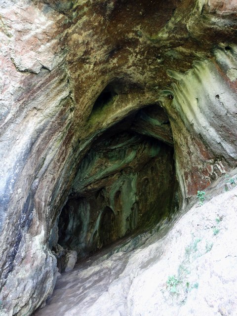
Images are sourced within 2km of 53.075864/-1.8578434 or Grid Reference SK0953. Thanks to Geograph Open Source API. All images are credited.

The bed of the River Manifold The river has run completely dry, probably flowing through limestone underground somewhere.
The bed of the River Manifold
The river has run completely dry, probably flowing through limestone underground somewhere.
The Manifold Way A surfaced cycle track along the Manifold Valley, but with little view because of the foliage.
The Manifold Way
A surfaced cycle track along the Manifold Valley, but with little view because of the foliage.
The Manifold Valley Wooded in the bottom, with limestone outcrops above. The foliage ensures that for most of the time, there is not much view of the outcrops.
The Manifold Valley
Wooded in the bottom, with limestone outcrops above. The foliage ensures that for most of the time, there is not much view of the outcrops.
National Trust land below Ossoms Hill The western side of the Manifold Valley, where a path leads towards Grindon.
National Trust land below Ossoms Hill
The western side of the Manifold Valley, where a path leads towards Grindon.
The bed of the River Manifold The river is completely dry.
The bed of the River Manifold
The river is completely dry.
Thor's Cave Situated high above the Manifold Valley.
Thor's Cave
Situated high above the Manifold Valley.
The Manifold Valley The view from Thor's Cave.
The Manifold Valley
The view from Thor's Cave.
Redway Redway Barn and Redway Farm.
Redway
Redway Barn and Redway Farm.
Throwley Moor Soles Hill on Throwley Moor.
Throwley Moor
Soles Hill on Throwley Moor.
Thor's Cave Barn near Thor's Cave.
Thor's Cave
Barn near Thor's Cave.
Larkstone Lane Larkstone Lane (left) at Weag's Bridge.
Larkstone Lane
Larkstone Lane (left) at Weag's Bridge.
Ratcliffe Thor's Cave at Ratcliffe.
Ratcliffe
Thor's Cave at Ratcliffe.
Thor's Cave High above the River Manifold. Visited by human beings from the earliest times but still access up into the cave is tricky, especially when the smooth rocky entrance is wet.
Thor's Cave
High above the River Manifold. Visited by human beings from the earliest times but still access up into the cave is tricky, especially when the smooth rocky entrance is wet.
The interior of Thor's Cave Like looking into the throat of some great whale. This cave has been visited by human beings since the earliest times of our history.
The interior of Thor's Cave
Like looking into the throat of some great whale. This cave has been visited by human beings since the earliest times of our history.
Footbridge over The River Manifold Below Thor's Cave
Footbridge over The River Manifold
Below Thor's Cave
The Manifold Way east of Grindon The Manifold Way follows the exact course of the old Leek and Manifold railway.
The Manifold Way east of Grindon
The Manifold Way follows the exact course of the old Leek and Manifold railway.
Dilapidated field barn above The Manifold Valley
Cow grazing above The Manifold Valley
Show me another place!

Old Soles Wood is located at Grid Ref: SK0953 (Lat: 53.075864, Lng: -1.8578434)

Administrative County: Staffordshire

District: Staffordshire Moorlands

Police Authority: Staffordshire

What 3 Words

///habits.unzips.unloaded. Near Newhaven, Derbyshire

Nearby Locations

Old Soles Wood

Related Wikis

Beeston Tor railway station

Beeston Tor railway station was a minor station which served the Beeston Tor in Grindon, Staffordshire. The site is now part of the Manifold Way. ��2...

Grindon railway station

Grindon railway station was a station on the Leek and Manifold Light Railway. It served the village of Grindon in Staffordshire. The site is now part of...
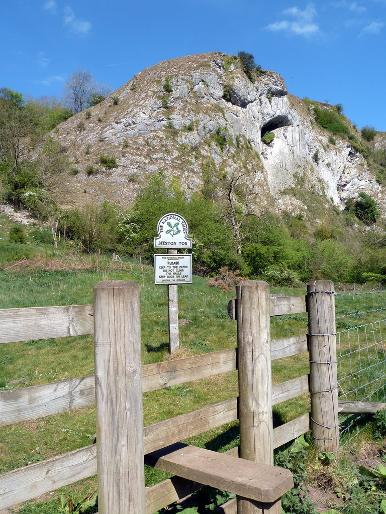
Beeston Tor

Beeston Tor (grid reference SK105540) is a limestone cliff in Staffordshire. It overlooks the confluence of the River Hamps with the River Manifold, and...

Grindon, Staffordshire

Grindon is a small village in the Staffordshire Peak District of England. == Geography == Grindon is situated near the southern end of the Peak District...

Nearby Amenities

Located within 500m of 53.075864,-1.8578434
Ele: 214.7385254
Lat/Long: 53.0801595/-1.8563826
Old Soles Wood
Place: locality
Lat/Long: 53.0775276/-1.85103
The data included in this document is from www.openstreetmap.org. The data is made available under ODbL.

Have you been to Old Soles Wood?

Leave your review of Old Soles Wood below (or comments, questions and feedback).