Black Hill Top Plantation

Wood, Forest in Durham

England

Black Hill Top Plantation

Valley of Linburn Beck Linburn Beck flows in the tree-lined groove through the centre of the image.
Valley of Linburn Beck Credit: Trevor Littlewood

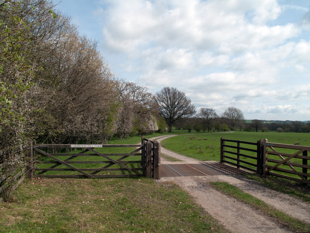
Black Hill Top Plantation is a picturesque woodland located in Durham, England. Situated on the outskirts of Durham city, this plantation offers visitors a serene and tranquil escape from the hustle and bustle of urban life.

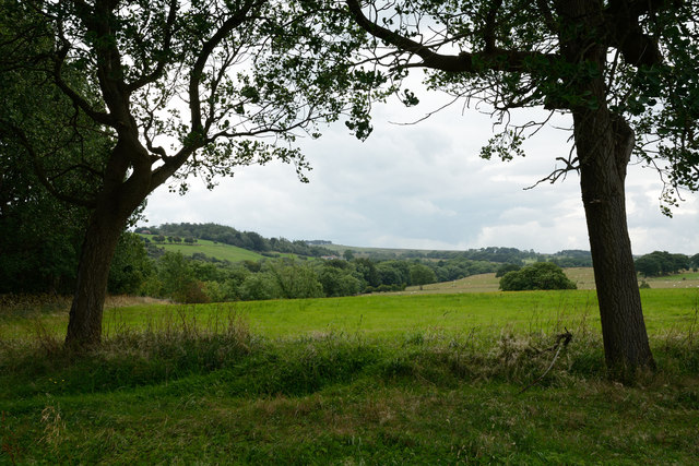
Covering an expansive area, the plantation is known for its dense forest and towering trees. It is predominantly composed of native tree species such as oak, beech, and birch, creating a rich and diverse ecosystem. The woodland floor is carpeted with a lush undergrowth of ferns, wildflowers, and mosses, adding to the enchanting atmosphere.

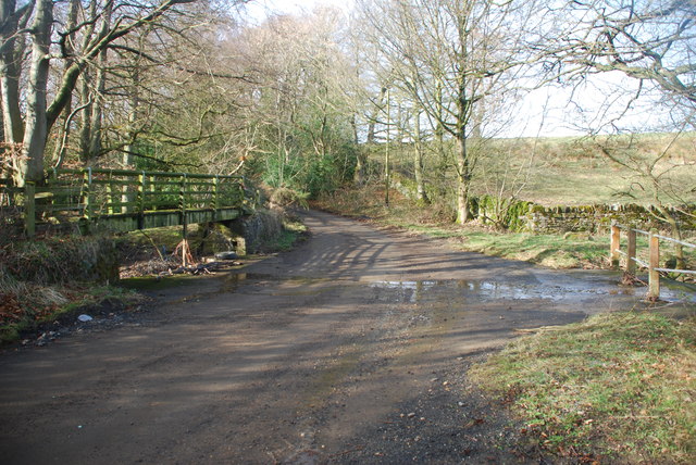
The plantation is a popular destination for nature enthusiasts, hikers, and dog walkers due to its well-maintained network of walking trails. These trails wind through the woodland, providing visitors with opportunities to explore the natural beauty of the area. Along the way, there are several viewpoints that offer breathtaking vistas of the surrounding countryside.

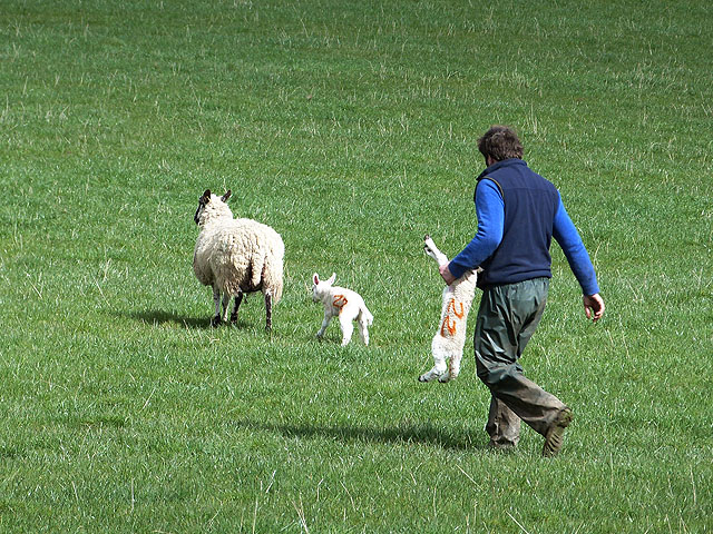
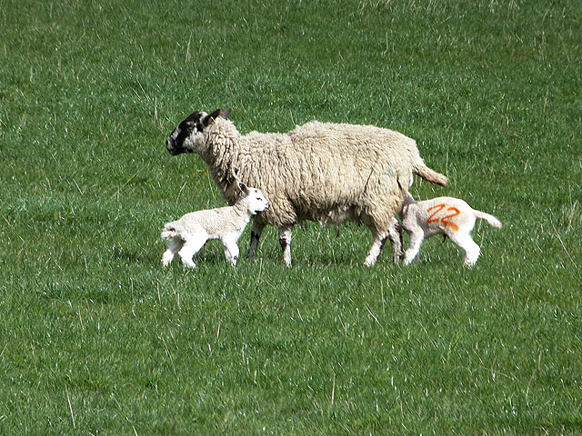
Black Hill Top Plantation is also home to a variety of wildlife, making it a haven for animal lovers and birdwatchers. Visitors may spot deer, rabbits, and squirrels, as well as a range of bird species including woodpeckers, owls, and various songbirds. The plantation's peaceful ambiance and diverse habitat make it an ideal location for wildlife to thrive.

In addition to its natural beauty, Black Hill Top Plantation has a rich historical significance. It is believed to have been used as a hunting ground by the local nobility in medieval times. Today, remnants of ancient boundary walls and ditches can still be found within the plantation, providing a glimpse into its storied past.

Overall, Black Hill Top Plantation is a captivating woodland destination that offers visitors a chance to connect with nature, explore scenic trails, and immerse themselves in the history and biodiversity of Durham's woodlands.

If you have any feedback on the listing, please let us know in the comments section below.

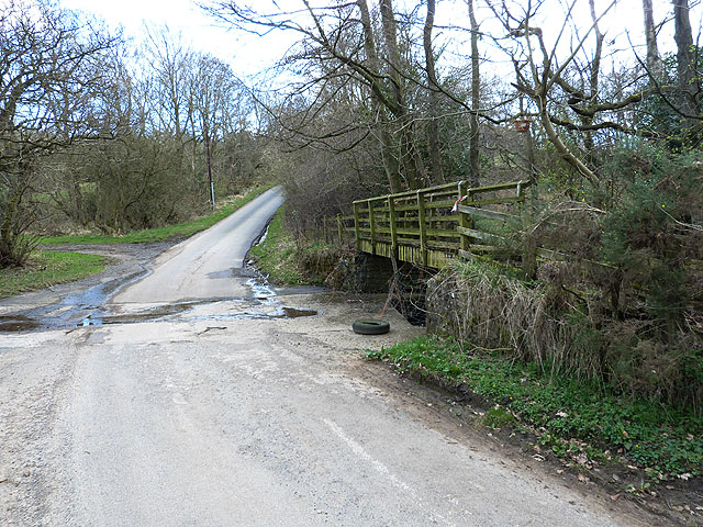
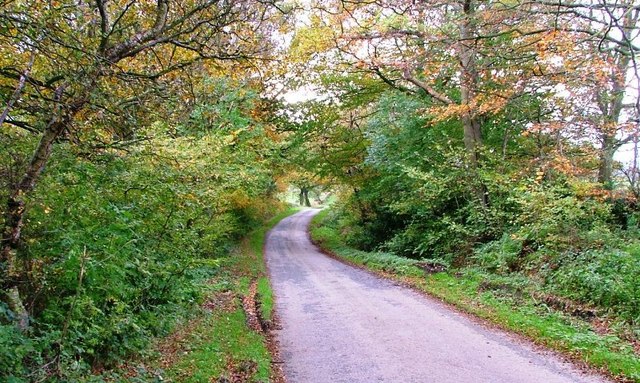
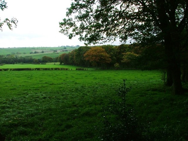
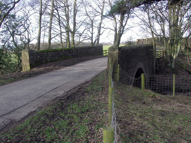
Black Hill Top Plantation Images

Images are sourced within 2km of 54.675032/-1.8544643 or Grid Reference NZ0931. Thanks to Geograph Open Source API. All images are credited.

Valley of Linburn Beck Linburn Beck flows in the tree-lined groove through the centre of the image.
Valley of Linburn Beck
Linburn Beck flows in the tree-lined groove through the centre of the image.
Ford at Hamsterley This ford on Emms Hill Lane is found on the Linburn Beck at Hamsterley.
Ford at Hamsterley
This ford on Emms Hill Lane is found on the Linburn Beck at Hamsterley.
Sorting out the lambs This farmer at New Row Farm was busy reassigning lambs to their rightful mother. See <a href="https://www.geograph.org.uk/photo/3926940">NZ0929 : Lambs reunited</a>.
Sorting out the lambs
This farmer at New Row Farm was busy reassigning lambs to their rightful mother. See NZ0929 : Lambs reunited.
Lambs reunited The farmer had been working hard to ensure that the lambs were reassigned to their rightful mother. See <a href="https://www.geograph.org.uk/photo/3926931">NZ0929 : Sorting out the lambs</a>.
Lambs reunited
The farmer had been working hard to ensure that the lambs were reassigned to their rightful mother. See NZ0929 : Sorting out the lambs.
Ford and footbridge on the Linburn Beck It appears that this ford is rarely much of an obstacle.
Ford and footbridge on the Linburn Beck
It appears that this ford is rarely much of an obstacle.
Quad and trailer at New Row Farm This farmer had been busy ensuring that the young lambs were reassigned to their rightful mother. In the trailer are a ewe and two lambs being transported to another field. New Row Farm <a href="https://www.geograph.org.uk/gridref/NZ1029">NZ1029</a> beyond.
Quad and trailer at New Row Farm
This farmer had been busy ensuring that the young lambs were reassigned to their rightful mother. In the trailer are a ewe and two lambs being transported to another field. New Row Farm NZ1029 beyond.
Ford at Hamsterley This ford on the Linburn Beck is found along Emms Hill Lane. The ford can be seen under normal conditions at:
<a title="https://www.geograph.org.uk/photo/3896455" href="https://www.geograph.org.uk/photo/3896455">Link</a>
Ford at Hamsterley
This ford on the Linburn Beck is found along Emms Hill Lane. The ford can be seen under normal conditions at: Link
Ford near Hamsterley
Lane to Emms Hill
Lane to Emms Hill
Ruined Barn, Near New Row
Plantation Near New Row
Bridge : Linburn Beck Looking north on lane to Bedburn.
Bridge : Linburn Beck
Looking north on lane to Bedburn.
Ruined Barn : Near New Row Farm Taken from junction to Podgehole and Emms Lane. Rackwood Farm to the north (visible)
Ruined Barn : Near New Row Farm
Taken from junction to Podgehole and Emms Lane. Rackwood Farm to the north (visible)
Freshly Cut Hay Field Freshly Cut Hay Field taken from Windy Bank Road on the edge of Hamsterley Forest
Freshly Cut Hay Field
Freshly Cut Hay Field taken from Windy Bank Road on the edge of Hamsterley Forest
Access road for Carrwood Hill Farm The access road for Carrwood Hill Farm leaves a minor road, Howlea Lane, above the valley of Harthope Beck.
Access road for Carrwood Hill Farm
The access road for Carrwood Hill Farm leaves a minor road, Howlea Lane, above the valley of Harthope Beck.
West Moor Plantation West Moor Plantation lies adjacent to moorland and to the north-east of Hamsterley Forest.
West Moor Plantation
West Moor Plantation lies adjacent to moorland and to the north-east of Hamsterley Forest.
Wildflower Meadow, Hamsterley Forest
Hamsterley; pond and village hall. The white building at the left side of the image is Hamsterley Village Hall; the pond is small and rather overgrown.
Hamsterley; pond and village hall.
The white building at the left side of the image is Hamsterley Village Hall; the pond is small and rather overgrown.
Show me another place!

Black Hill Top Plantation is located at Grid Ref: NZ0931 (Lat: 54.675032, Lng: -1.8544643)

Unitary Authority: County Durham

Police Authority: Durham

What 3 Words

///forkful.landed.biked. Near Hamsterley, Co. Durham

Nearby Locations

Black Hill Top Plantation

Related Wikis

Hamsterley Forest

Hamsterley Forest is a commercial forest in County Durham owned and managed by Forestry England. It is the largest forest in County Durham and covers...

Bedburn

Bedburn is a village in County Durham, in England. It is in the civil parish of South Bedburn, near Hamsterley, and Hamsterley Forest. The Bedburn Beck...

South Bedburn

South Bedburn is a civil parish in County Durham, England. The population of the civil parish at the 2011 census was 171. == References == == External... ==

Low Redford Meadows

Low Redford Meadows is a Site of Special Scientific Interest in the Teesdale district of County Durham, England. It consists of two separate areas of meadows...

Nearby Amenities

Located within 500m of 54.675032,-1.8544643
Forest Drive toll
Disused Barrier: toll_booth
Lat/Long: 54.6779562/-1.8571471
Cafe
Hamsterley Forest Tea Room
Fhrs Id: 1134542
Not Addr Postcode: DL13 8NN
Lat/Long: 54.6762257/-1.8589723
Forest Shop
Note: Closed? (survey date: 18 Jan 2019)
Shop: outdoor
Lat/Long: 54.6762921/-1.8591419
Telephone
Payment Coins: yes
Lat/Long: 54.6761697/-1.8595031
Information: board
Tourism: information
Lat/Long: 54.6762097/-1.859255
Bus Stop
Visitor Centre
Naptan AtcoCode: 13007314A
Naptan Bearing: N
Naptan CommonName: Visitor Centre
Naptan Indicator: north bound
Naptan Landmark: Landmark not known
Naptan NaptanCode: durdwgpd
Naptan Notes: Toll gate- Redford Lane- West Hoppyland
Naptan Street: Street not known
Naptan Verified: no
Source: naptan_import
Lat/Long: 54.6780915/-1.8572109
Bus Stop
Visitor Centre
Naptan AtcoCode: 13007314E
Naptan Bearing: S
Naptan CommonName: Visitor Centre
Naptan Indicator: south bound
Naptan Landmark: Landmark not known
Naptan NaptanCode: durdwgpg
Naptan Notes: Toll gate- Redford Lane- West Hoppyland
Naptan Street: Street not known
Naptan Verified: no
Source: naptan_import
Lat/Long: 54.6780824/-1.8570713
Note: Gruffalo Spotters Trail Start
Lat/Long: 54.6755301/-1.8604258
Fhrs Id: 305008
Information: office
Tourism: information
Lat/Long: 54.6762938/-1.859019
Stargazing
Board Type: nature
Information: board
Tourism: information
Lat/Long: 54.6758611/-1.8596184
Tourism: picnic_site
Lat/Long: 54.6762379/-1.8591464
Black Hill Top Farm
Place: farm
Source Name: OS_OpenData_StreetView
Lat/Long: 54.6722955/-1.8510193
Barrier: jersey_barrier
Lat/Long: 54.6759572/-1.862019
Power: pole
Lat/Long: 54.6759264/-1.8585452
Power: pole
Lat/Long: 54.6759996/-1.8556082
Power: pole
Lat/Long: 54.6760062/-1.8544209
Power: pole
Lat/Long: 54.6760582/-1.8522396
Power: pole
Lat/Long: 54.6760953/-1.8487541
Drinking Water
Access: yes
Fee: no
Lat/Long: 54.6762606/-1.8588864
Bicycle Parking
Bicycle Parking: wall_loops
Capacity: 4
Covered: no
Fee: no
Lat/Long: 54.6761008/-1.8590942
Information: map
Tourism: information
Lat/Long: 54.6758587/-1.8578937
Fee: no
Self Service: yes
Service Bicycle Cleaning: yes
Lat/Long: 54.6762336/-1.8574389
Bicycle Parking
Bicycle Parking: wall_loops
Covered: no
Fee: no
Lat/Long: 54.6762011/-1.8579134
Vending Machine
Payment Contactless: yes
Vending: parking_tickets
Lat/Long: 54.6755703/-1.8580131
Vending Machine
Payment Contactless: yes
Vending: parking_tickets
Lat/Long: 54.6758433/-1.8574391
Barrier: bollard
Bollard: fixed
Lat/Long: 54.6761453/-1.858664
Traffic Calming: cushion
Lat/Long: 54.6760774/-1.8584534
The data included in this document is from www.openstreetmap.org. The data is made available under ODbL.

Have you been to Black Hill Top Plantation?

Leave your review of Black Hill Top Plantation below (or comments, questions and feedback).