Ladyside Wood
Wood, Forest in Staffordshire Staffordshire Moorlands
England
Ladyside Wood
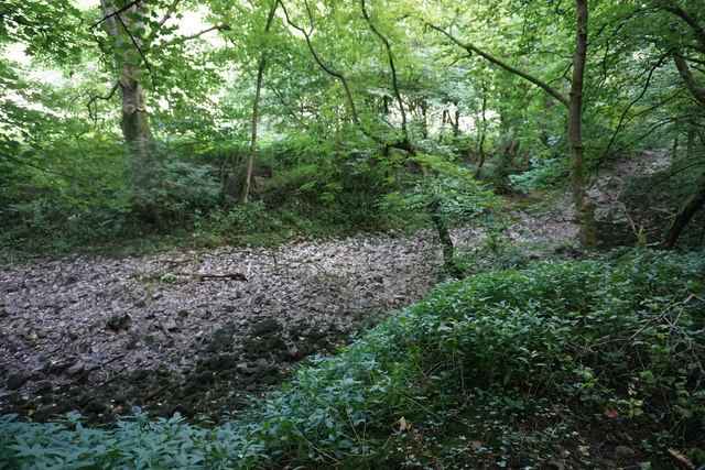
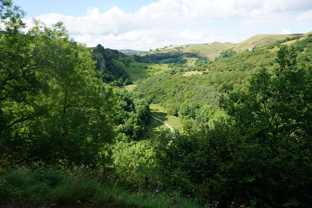
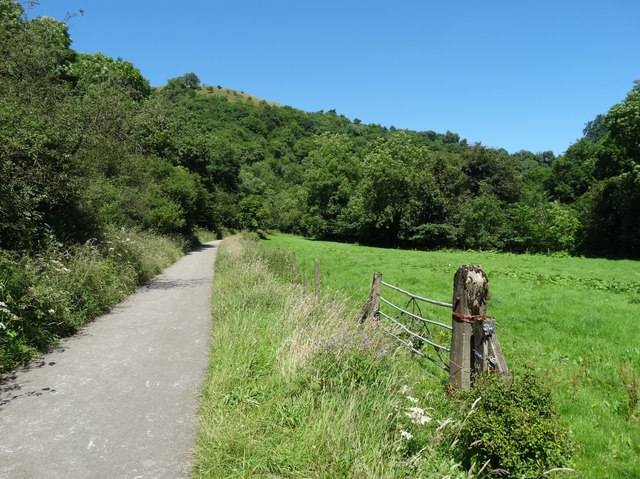
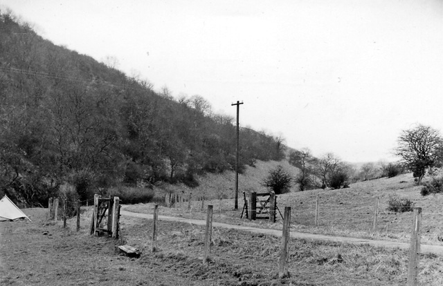
Ladyside Wood, located in Staffordshire, is a picturesque forest renowned for its natural beauty and diverse ecosystem. Covering an area of approximately 100 acres, this woodland is a haven for nature enthusiasts and hikers alike.
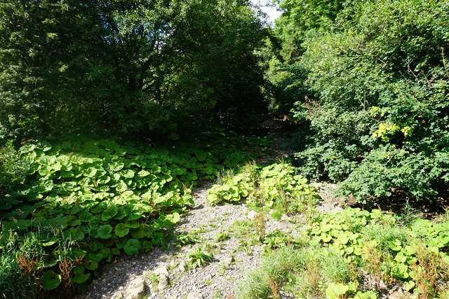
The wood is predominantly composed of native broadleaf trees, such as oak, beech, and birch, which create a dense canopy that provides shade and shelter for a variety of wildlife. These trees are interspersed with patches of vibrant bluebells and wildflowers, adding a burst of color to the landscape during the spring months.
Tranquility and serenity are the hallmarks of Ladyside Wood, making it an ideal destination for those seeking a peaceful retreat from the hustle and bustle of everyday life. The absence of vehicular traffic ensures that the sounds of chirping birds and rustling leaves are the only noises to be heard, allowing visitors to fully immerse themselves in the natural surroundings.
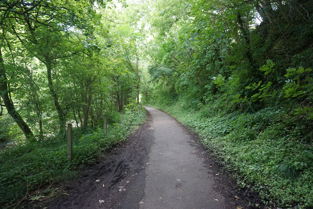
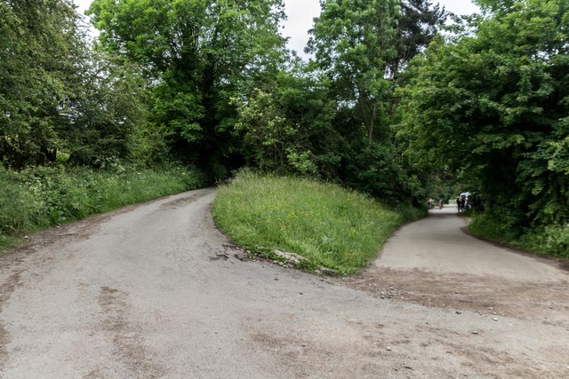
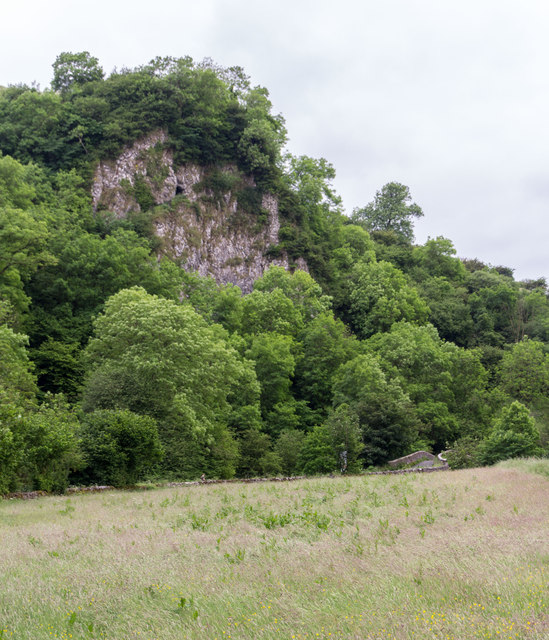
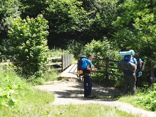
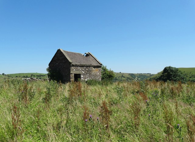
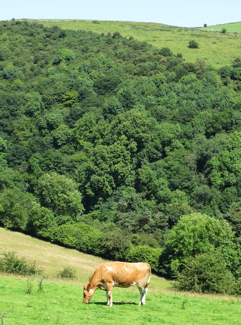
The wood offers several walking trails of varying difficulty, catering to both casual strollers and more adventurous hikers. These paths wind through the forest, offering glimpses of hidden ponds, babbling brooks, and ancient stone formations along the way. Wildlife sightings are also common, with deer, rabbits, and a multitude of bird species being regular inhabitants of the wood.
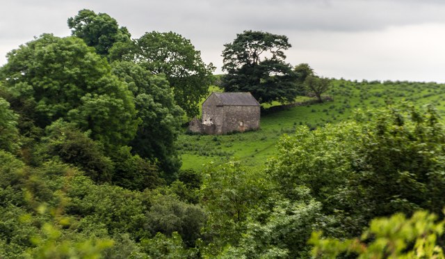
Ladyside Wood is a protected area, managed by a local conservation organization dedicated to preserving its natural features. Visitors are encouraged to respect the environment and adhere to the designated trails to minimize human impact on the delicate ecosystem.
Overall, Ladyside Wood is a captivating destination that showcases the beauty and tranquility of Staffordshire's natural landscapes, offering visitors a chance to reconnect with nature and appreciate the wonders of the forest.
If you have any feedback on the listing, please let us know in the comments section below.
Ladyside Wood Images
Images are sourced within 2km of 53.089845/-1.8608733 or Grid Reference SK0954. Thanks to Geograph Open Source API. All images are credited.


Ladyside Wood is located at Grid Ref: SK0954 (Lat: 53.089845, Lng: -1.8608733)
Administrative County: Staffordshire
District: Staffordshire Moorlands
Police Authority: Staffordshire
What 3 Words
///stretcher.bulldozer.materials. Near Newhaven, Derbyshire
Nearby Locations
Related Wikis
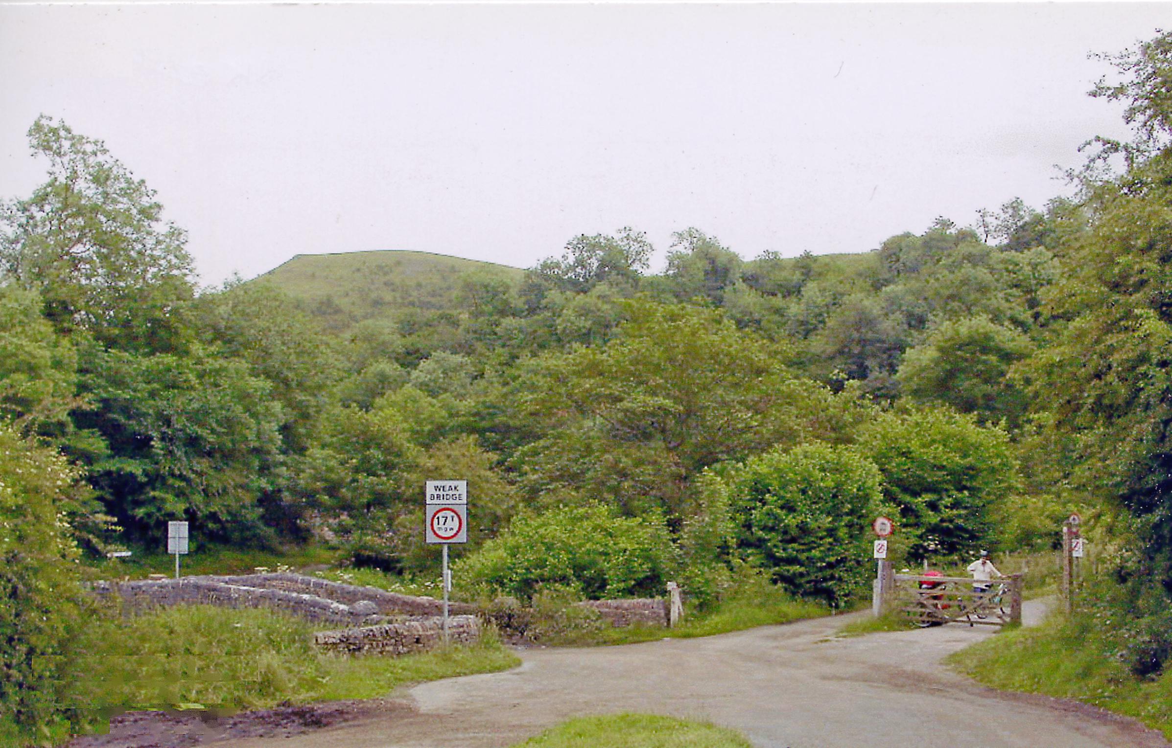
Manifold Way
The Manifold Way is a footpath and cycle way in Staffordshire, England. Some 8 miles (13 km) in length, it runs from Hulme End (53.1307°N 1.8480°W / 53...
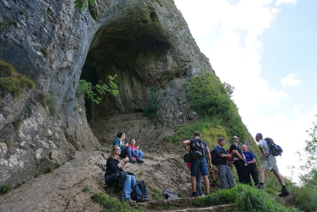
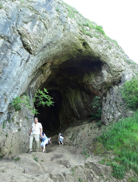
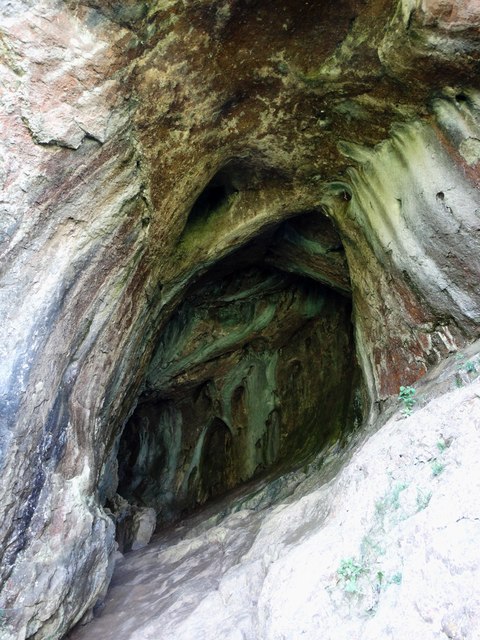
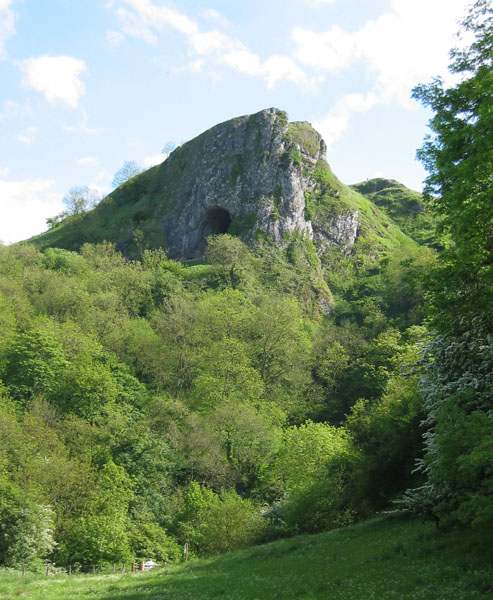
Thor's Cave
Thor's Cave (also known as Thor's House Cavern and Thyrsis's Cave) is a natural cavern located at SK09865496 in the Manifold Valley of the White Peak in...

Thor's Cave railway station
Thor's Cave railway station was a station on the Leek and Manifold Light Railway. Serving the landmark Thor's Cave in Grindon and Wetton. The station site...

Grindon, Staffordshire
Grindon is a small village in the Staffordshire Peak District of England. == Geography == Grindon is situated near the southern end of the Peak District...
Grindon railway station
Grindon railway station was a station on the Leek and Manifold Light Railway. It served the village of Grindon in Staffordshire. The site is now part of...
Redhurst Crossing railway station
Redhurst Crossing railway station was a minor station on the Leek and Manifold Light Railway, located between Wetton Mill railway station, Staffordshire...
Beeston Tor railway station
Beeston Tor railway station was a minor station which served the Beeston Tor in Grindon, Staffordshire. The site is now part of the Manifold Way. ��2...
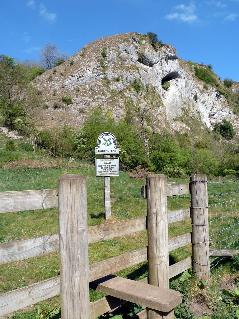
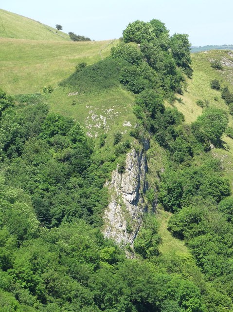
Beeston Tor
Beeston Tor (grid reference SK105540) is a limestone cliff in Staffordshire. It overlooks the confluence of the River Hamps with the River Manifold, and...
Nearby Amenities
Located within 500m of 53.089845,-1.8608733Have you been to Ladyside Wood?
Leave your review of Ladyside Wood below (or comments, questions and feedback).