Oliver's Green
Wood, Forest in Staffordshire East Staffordshire
England
Oliver's Green
Oliver's Green is a charming village located in the county of Staffordshire, England. Situated amidst the lush greenery of the English countryside, this picturesque village is known for its dense woodlands and beautiful forests, making it a haven for nature enthusiasts and outdoor lovers.
The village is named after Oliver Green, a prominent landowner in the area during the 19th century. It is believed that the village initially started as a small settlement, primarily focused on agriculture and forestry due to its abundant natural resources.
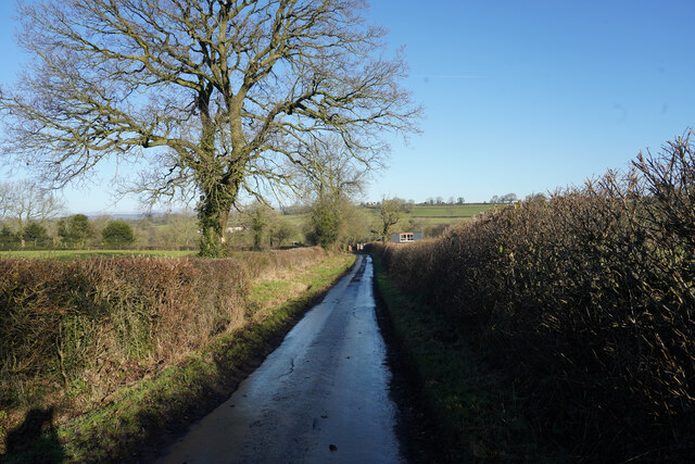
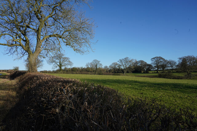
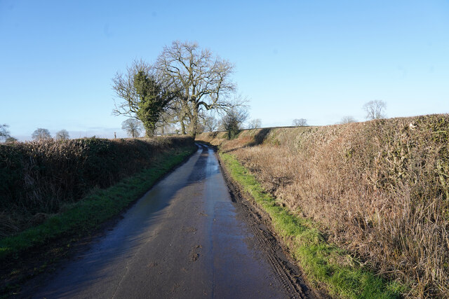
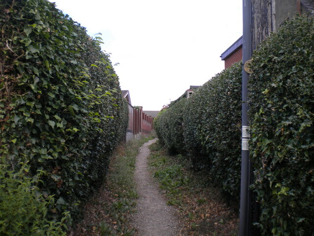
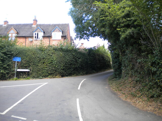
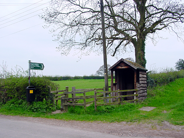
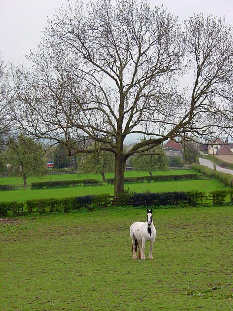
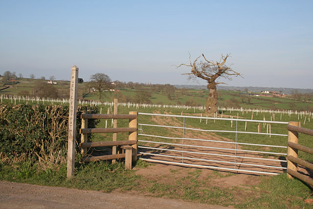
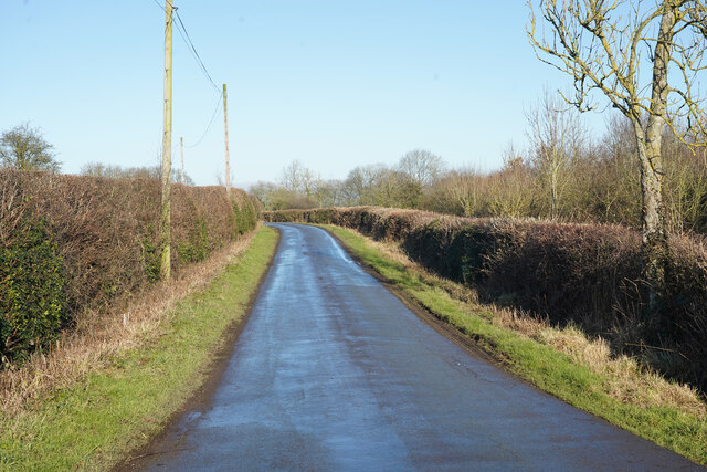
The woodlands surrounding Oliver's Green are a prominent feature of the village, covering a vast area of the landscape. These woodlands are home to a diverse range of flora and fauna, including oak, beech, and pine trees, as well as various species of birds and small mammals. The forested areas provide ample opportunities for hiking, walking, and exploring, with numerous trails and paths winding through the wilderness.
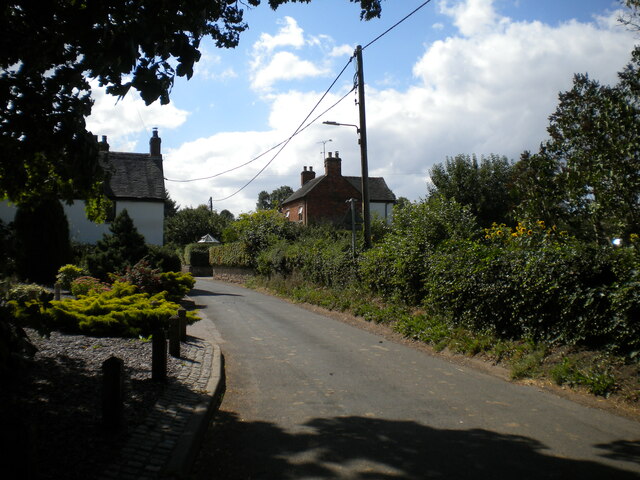
In addition to its natural beauty, Oliver's Green is also known for its close-knit community and traditional village charm. The village is dotted with quaint cottages and historic buildings, giving it a timeless appeal. The local community actively organizes events and festivities throughout the year, fostering a strong sense of community spirit.
Overall, Oliver's Green in Staffordshire is a place where nature thrives, and tranquility reigns. It offers a peaceful escape from the hustle and bustle of city life, making it an ideal destination for those seeking solace in the beauty of the countryside.
If you have any feedback on the listing, please let us know in the comments section below.
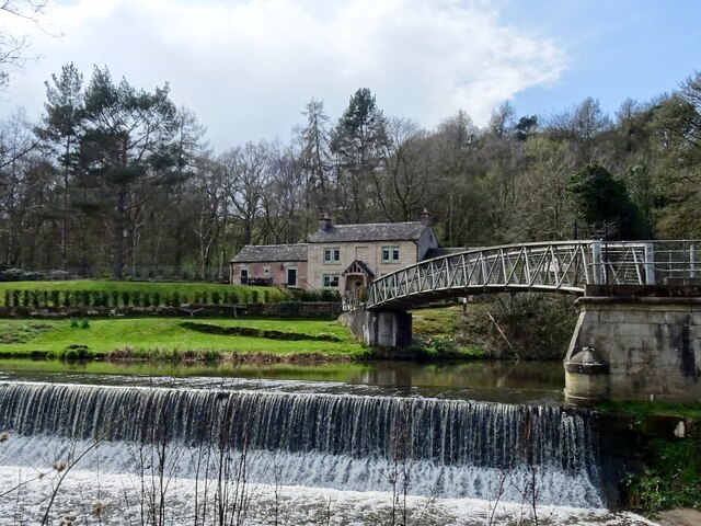
Oliver's Green Images
Images are sourced within 2km of 52.964233/-1.862884 or Grid Reference SK0940. Thanks to Geograph Open Source API. All images are credited.


Oliver's Green is located at Grid Ref: SK0940 (Lat: 52.964233, Lng: -1.862884)
Administrative County: Staffordshire
District: East Staffordshire
Police Authority: Staffordshire
What 3 Words
///simple.whiplash.prices. Near Doveridge, Derbyshire
Nearby Locations
Related Wikis

Denstone
Denstone is a village and civil parish situated between the towns of Uttoxeter in East Staffordshire and Ashbourne in Derbyshire. It is located next to...

Denstone College
Denstone College is a mixed, private, boarding and day school in Denstone, Uttoxeter, Staffordshire, England. It is a Woodard School, having been founded...
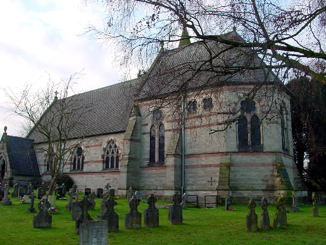
All Saints' Church, Denstone
All Saints' Church, Denstone is a Grade II* listed parish church in the Church of England in Denstone. == History == The church was built between 1860...

Denstone railway station
Denstone railway station is a former station of the North Staffordshire Railway's (NSR) Churnet Valley Line which served the village of Denstone in Staffordshire...
Nearby Amenities
Located within 500m of 52.964233,-1.862884Have you been to Oliver's Green?
Leave your review of Oliver's Green below (or comments, questions and feedback).