Ashybank Wood
Wood, Forest in Northumberland
England
Ashybank Wood

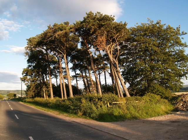
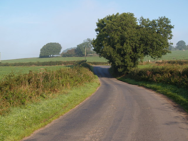
Ashybank Wood is a picturesque forest located in Northumberland, England. Spanning over a vast area, this woodland is known for its breathtaking natural beauty and diverse ecosystem. The wood is situated on the southern edge of the Northumberland National Park, making it a popular destination for nature enthusiasts and hikers.
Ashybank Wood is home to a wide variety of wildlife, including numerous bird species, mammals, and insects. Visitors often spot red squirrels darting through the trees, while birdwatchers can enjoy the melodious songs of species such as the great tit and wood warbler. In the springtime, the forest floor blooms with vibrant flowers, creating a stunning display of colors.
The woodland offers several well-maintained walking trails, allowing visitors to explore its enchanting surroundings. The paths wind through dense foliage, crossing babbling brooks and leading to secluded clearings. These trails cater to both casual walkers and more experienced hikers, with options for shorter strolls or longer, more challenging treks.
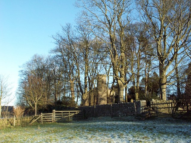
In addition to its natural beauty, Ashybank Wood also has a rich history. The area was once part of the ancient hunting grounds used by the nobility, and remnants of this past can still be found within the wood. Ruins of old hunting lodges and stone walls add an air of mystery to the forest, inviting visitors to imagine the stories that lie within its depths.
Overall, Ashybank Wood is a captivating destination that offers a unique blend of natural beauty and historical significance. Whether visitors come to admire the wildlife, take a leisurely walk, or simply soak in the tranquility, this woodland provides a memorable experience for all who venture within its boundaries.
If you have any feedback on the listing, please let us know in the comments section below.
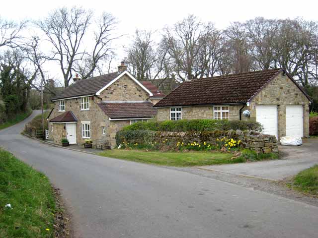
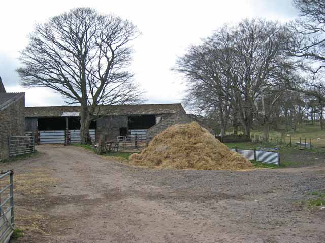
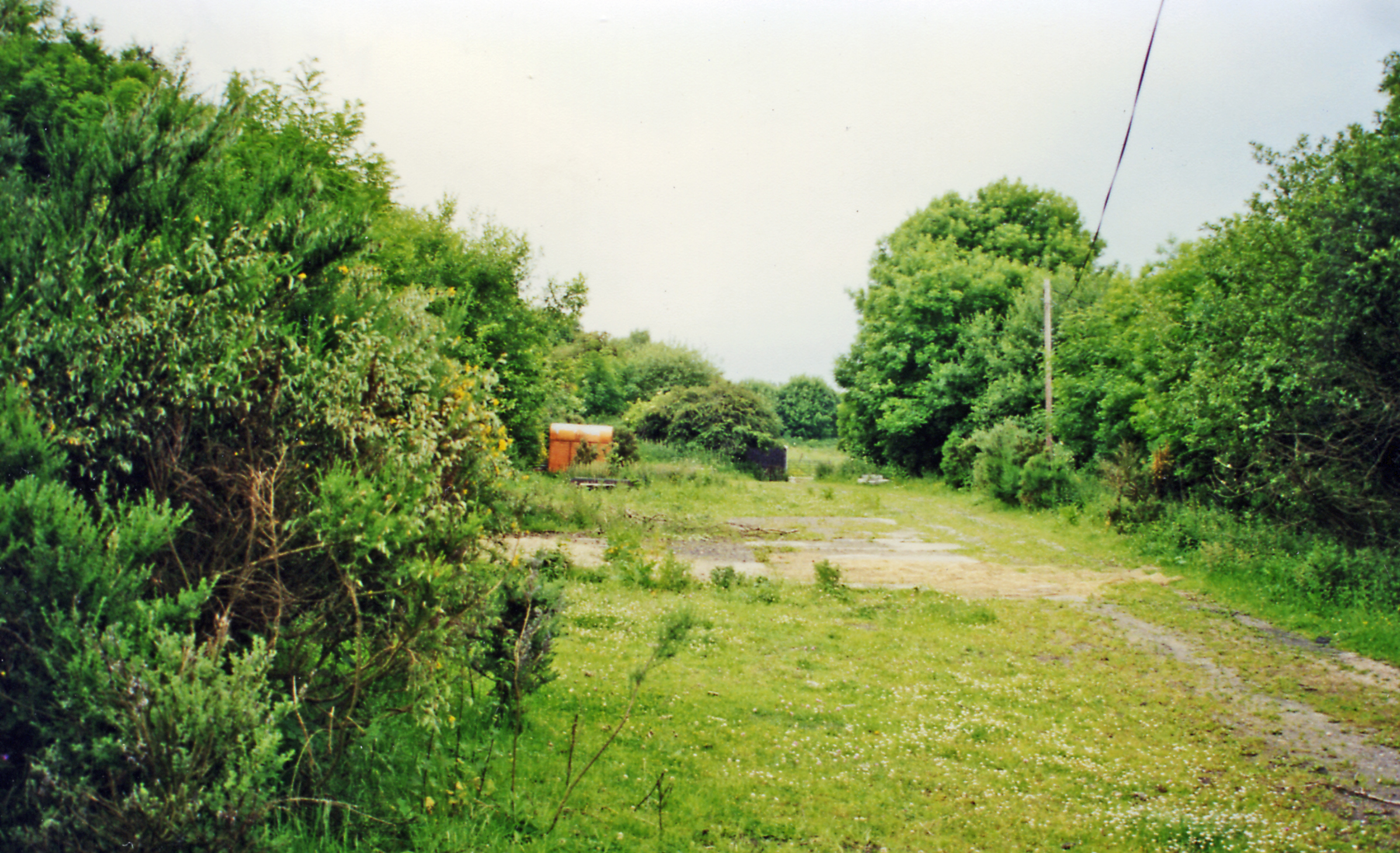
Ashybank Wood Images
Images are sourced within 2km of 54.908524/-1.859302 or Grid Reference NZ0957. Thanks to Geograph Open Source API. All images are credited.


Ashybank Wood is located at Grid Ref: NZ0957 (Lat: 54.908524, Lng: -1.859302)
Unitary Authority: Northumberland
Police Authority: Northumbria
What 3 Words
///renew.disgraced.count. Near Chopwell, Tyne & Wear
Nearby Locations
Related Wikis

Newlands, Northumberland
Newlands is a hamlet and former civil parish, now in the parish of Shotley Low Quarter, in the county of Northumberland, England. It is north of Ebchester...

Vindomora
Vindomora was an auxiliary fort on Dere Street, in the province of Lower Britain (Britannia Inferior). Its ruins, now known as Ebchester Roman Fort, are...

Low Westwood
Low Westwood is a village in County Durham, England. It is situated immediately to the west of Hamsterley. Low Westwood is probably best known for Hamsterley...
High Westwood railway station
High Westwood railway station served the village of High Westwood, County Durham, England from 1909 to 1942 on the Derwent Valley Railway. == History... ==
East Law
East Law is a small village in County Durham, England. It is situated on the A694 to the north of Consett and north east of Shotley Bridge. It is located...

Currock Hill
Currock Hill is a hill in Tyne and Wear, England, which at 259 m (850 ft) is the highest point in the county, and in the metropolitan borough of Gateshead...
Chopwell Colliery
Chopwell Colliery was a coal mine situated at Chopwell, in Gateshead, Tyne and Wear. The pit was first sunk in 1781, and was closed on 25 November 1966...
High Westwood
High Westwood is an English village in County Durham, a few miles to the north of Consett, near Ebchester and Hamsterley. It once had a colliery and coke...
Nearby Amenities
Located within 500m of 54.908524,-1.859302Have you been to Ashybank Wood?
Leave your review of Ashybank Wood below (or comments, questions and feedback).