Cwm Dulais

Settlement in Glamorgan

Wales

Cwm Dulais

Carn ar Dwyn Tyle / Cairn on Twyn Tyle Gweddillion cairn o'r Oes Efydd ar lethrau Twyn Tyle.

The remains of a Bronze Age cairn on the slopes of Twyn Tyle (trans. slope of the hillock).
Carn ar Dwyn Tyle / Cairn on Twyn Tyle Credit: Alan Richards

The requested URL returned error: 429 Too Many Requests

If you have any feedback on the listing, please let us know in the comments section below.
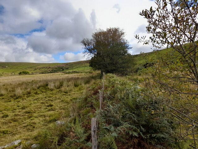
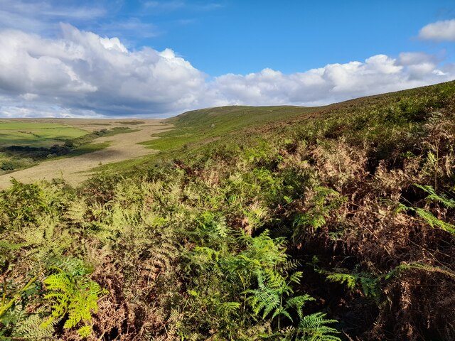
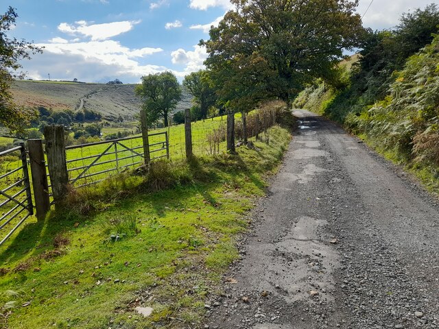
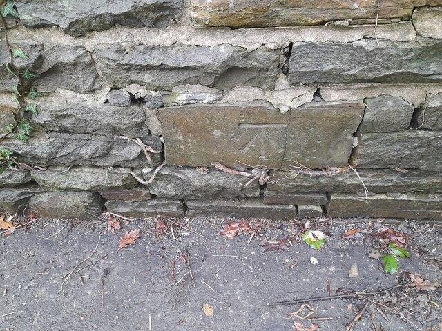
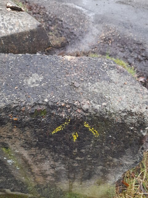
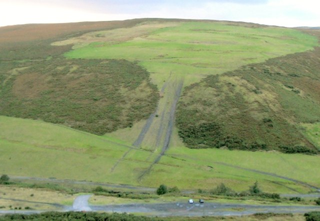
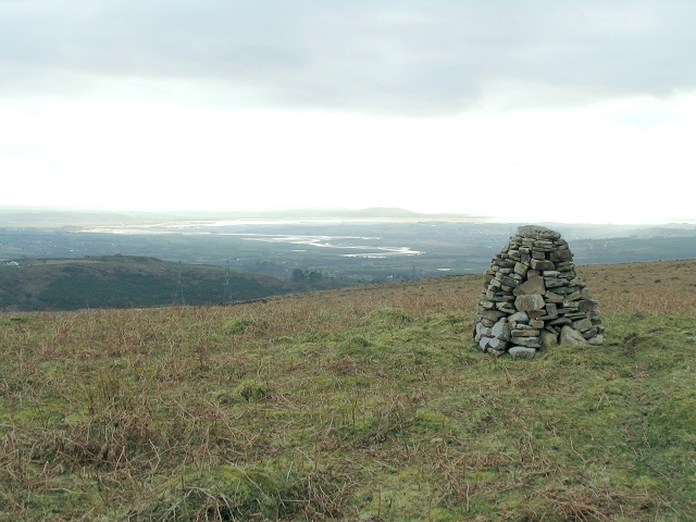
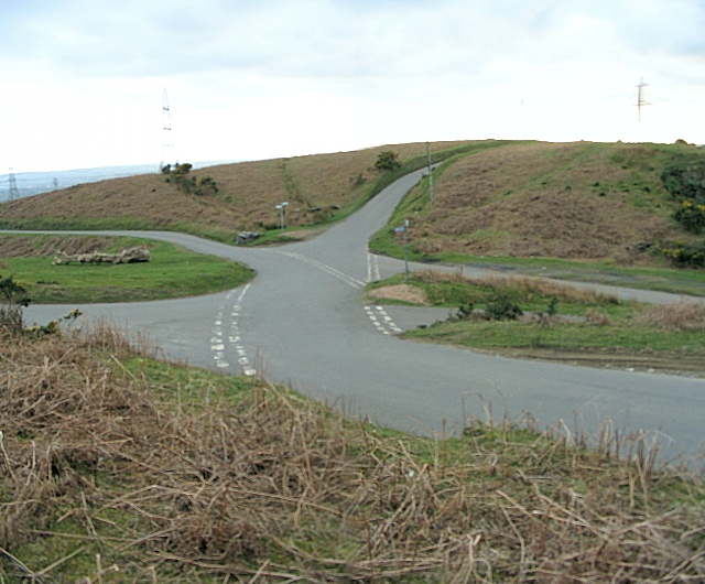
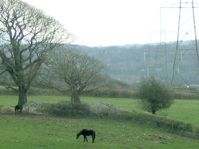
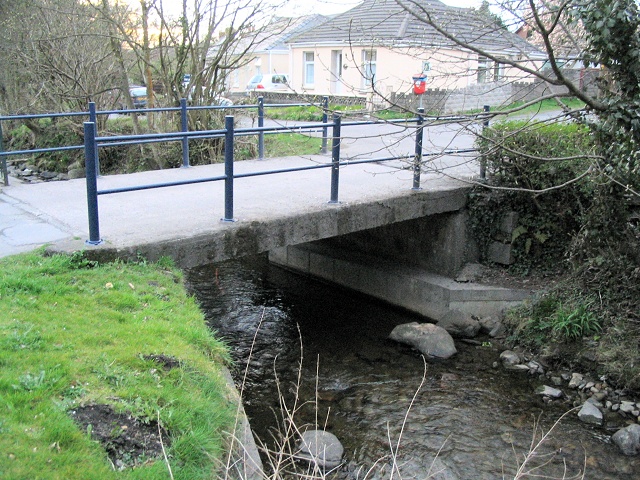
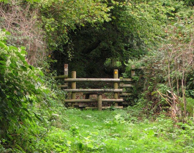
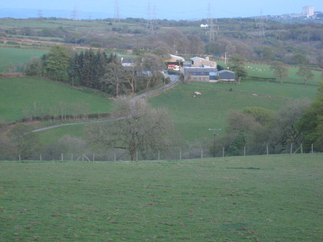
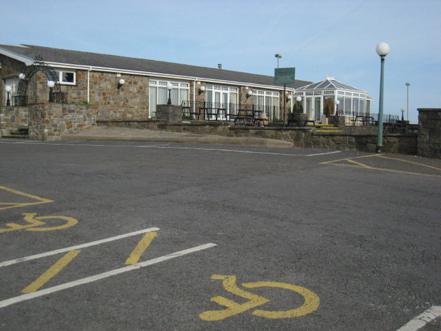
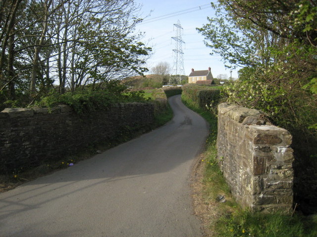
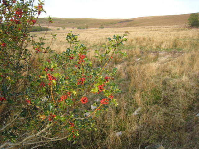
Cwm Dulais Images

Images are sourced within 2km of 51.71258/-4.0082147 or Grid Reference SN6103. Thanks to Geograph Open Source API. All images are credited.

Carn ar Dwyn Tyle / Cairn on Twyn Tyle Gweddillion cairn o'r Oes Efydd ar lethrau Twyn Tyle.

The remains of a Bronze Age cairn on the slopes of Twyn Tyle (trans. slope of the hillock).
Carn ar Dwyn Tyle / Cairn on Twyn Tyle
Gweddillion cairn o'r Oes Efydd ar lethrau Twyn Tyle. The remains of a Bronze Age cairn on the slopes of Twyn Tyle (trans. slope of the hillock).
Fence Line
Fence Line
Overgrown Path
Overgrown Path
Minor Road
Minor Road
Ordnance Survey Cut Mark This OS cut mark can be found on No72 Bryntirion Road. It marks a point 58.692m above mean sea level.
Ordnance Survey Cut Mark
This OS cut mark can be found on No72 Bryntirion Road. It marks a point 58.692m above mean sea level.
Ordnance Survey Cut Mark This OS cut mark can be found on the wall west side of Bryntirion Road. It marks a point 65.669m above mean sea level.
Ordnance Survey Cut Mark
This OS cut mark can be found on the wall west side of Bryntirion Road. It marks a point 65.669m above mean sea level.
Ordnance Survey Rivet This OS rivet can be found on the SE parapet of the bridge. It marks a point 46.092m above mean sea level.
Ordnance Survey Rivet
This OS rivet can be found on the SE parapet of the bridge. It marks a point 46.092m above mean sea level.
Cwm Dulais Old tracks at a disused colliery provide access to the bottom of the valley from the better road above. The tracks on the hill opposite show how the relative isolation allows unofficial motorsports.
Cwm Dulais
Old tracks at a disused colliery provide access to the bottom of the valley from the better road above. The tracks on the hill opposite show how the relative isolation allows unofficial motorsports.
Summit cairn on Cefn Drum Just below the grassy surface of Cefn Drum is a lot of colliery spoil - ample source material for the attractive little cairn. In the distance, the Loughor winds its way out to sea, and the Gower Peninsula juts out along the horizon.
Summit cairn on Cefn Drum
Just below the grassy surface of Cefn Drum is a lot of colliery spoil - ample source material for the attractive little cairn. In the distance, the Loughor winds its way out to sea, and the Gower Peninsula juts out along the horizon.
Sprawling mountain road junction Six apparent roads meet on the mountain between Felindre and Pontardulais, but actually, there are only five roads. Still, it would be completely confusing if not for the signs, which, mercifully, on this occasion are correct.
Sprawling mountain road junction
Six apparent roads meet on the mountain between Felindre and Pontardulais, but actually, there are only five roads. Still, it would be completely confusing if not for the signs, which, mercifully, on this occasion are correct.
Cairn in field at Pant-y-ffin Behind the middle one of the 3 visible trees is a pile of rocks that must be the cairn marked on the map at this point. It is close to the southern of two power lines running southwest and on the southwest side of a stream. This is the view from Bryn Bach road on the edge of the common.
Cairn in field at Pant-y-ffin
Behind the middle one of the 3 visible trees is a pile of rocks that must be the cairn marked on the map at this point. It is close to the southern of two power lines running southwest and on the southwest side of a stream. This is the view from Bryn Bach road on the edge of the common.
Small bridge over river Dulais There are some very narrow lanes and back streets in this west part of Pontardulais, despite all the residences. This bridge is just about wide enough for one car at a time.
Small bridge over river Dulais
There are some very narrow lanes and back streets in this west part of Pontardulais, despite all the residences. This bridge is just about wide enough for one car at a time.
Footpath in Cwm Ysgiach near Felindre On the 1940 map this is shown as a real lane. Now it is a varied footpath with some sections of grass, some of soft earth, and some rocky riverbed.
Curiously there are a couple of stiles across it. These barriers can not be required to keep farm animals out. Maybe they are meant to discourage the use of quad bikes.
Here we are looking north where the grassy path is still only ascending gently as it enters an wooded section.
Footpath in Cwm Ysgiach near Felindre
On the 1940 map this is shown as a real lane. Now it is a varied footpath with some sections of grass, some of soft earth, and some rocky riverbed. Curiously there are a couple of stiles across it. These barriers can not be required to keep farm animals out. Maybe they are meant to discourage the use of quad bikes. Here we are looking north where the grassy path is still only ascending gently as it enters an wooded section.
Crwca. Fferm ger Felindre.  Adeilad y DVLA yn Abertawe sydd ar y gorwel.

A farm near Felindre.  The large building on the horizon is the DVLA in Swansea.
Crwca.
Fferm ger Felindre. Adeilad y DVLA yn Abertawe sydd ar y gorwel. A farm near Felindre. The large building on the horizon is the DVLA in Swansea.
The Glamorgan Arms. Y ganolfan gynhadledda sydd ar safle'r dafarn boblogaidd yma.

A conference and function suite on the site of this popular pub.
The Glamorgan Arms.
Y ganolfan gynhadledda sydd ar safle'r dafarn boblogaidd yma. A conference and function suite on the site of this popular pub.
Camffrwd. Pont ar afon fechan sy'n llifo tua Phontarddulais.

A bridge over the Camffrwd (lit- Twisting River) which flows towards Pontarddulais.
Camffrwd.
Pont ar afon fechan sy'n llifo tua Phontarddulais. A bridge over the Camffrwd (lit- Twisting River) which flows towards Pontarddulais.
Celynen.  Holly Tree. Cyferbyniad llwyr i'r sgwariau poblog i'r de.

A sudden contrast to the built up area to the south.
Celynen. Holly Tree.
Cyferbyniad llwyr i'r sgwariau poblog i'r de. A sudden contrast to the built up area to the south.
View to Pontlliw Gwenlais Fawr farm is partially obscured by trees.
View to Pontlliw
Gwenlais Fawr farm is partially obscured by trees.
Show me another place!

Cwm Dulais is located at Grid Ref: SN6103 (Lat: 51.71258, Lng: -4.0082147)

Unitary Authority: Swansea

Police Authority: South Wales

Also known as: Cwmdulais

What 3 Words

///sprouting.paler.swan. Near Pontarddulais, Swansea

Related Wikis

Mawr

Mawr is a community (and former electoral ward) of the City and County of Swansea, in south Wales, U.K. Mawr has its own elected community council. Its...

Pontarddulais Comprehensive School

Pontarddulais Comprehensive School is an 11–16 mixed comprehensive school situated in the town of Pontarddulais, Wales. It is maintained by the Local...

Pentrebach, Swansea

Pentrebach is a village in City and County of Swansea, Wales within the Pontarddulais ward.

Pontarddulais Park

Pontarddulais Park is a cricket ground in Pontarddulais, Glamorgan. The ground was established in 1976, when Pontarddulais Cricket Club played Glamorgan...

Nearby Amenities

Located within 500m of 51.71258,-4.0082147
Barrier: cattle_grid
Source: OS_OpenData_StreetView
Lat/Long: 51.7116955/-4.0011714
Power: tower
Lat/Long: 51.7115124/-4.0099848
Power: tower
Lat/Long: 51.7132643/-4.0091736
Power: tower
Lat/Long: 51.7097943/-4.0075758
Power: tower
Lat/Long: 51.7100171/-4.0043999
Power: tower
Lat/Long: 51.7116742/-4.0068581
Barrier: cattle_grid
Lat/Long: 51.7106609/-4.010754
Direction: 145
Generator Method: photovoltaic
Generator Output Electricity: yes
Generator Solar Modules: 20
Generator Source: solar
Generator Type: solar_photovoltaic_panel
Location: roof
Power: generator
Lat/Long: 51.7140754/-4.012756
The data included in this document is from www.openstreetmap.org. The data is made available under ODbL.

Have you been to Cwm Dulais?

Leave your review of Cwm Dulais below (or comments, questions and feedback).