Battershawfield Plantation
Wood, Forest in Northumberland
England
Battershawfield Plantation

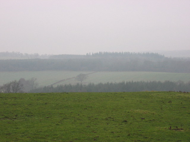
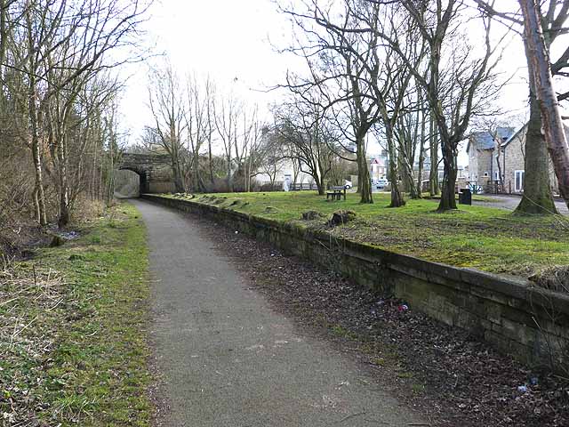
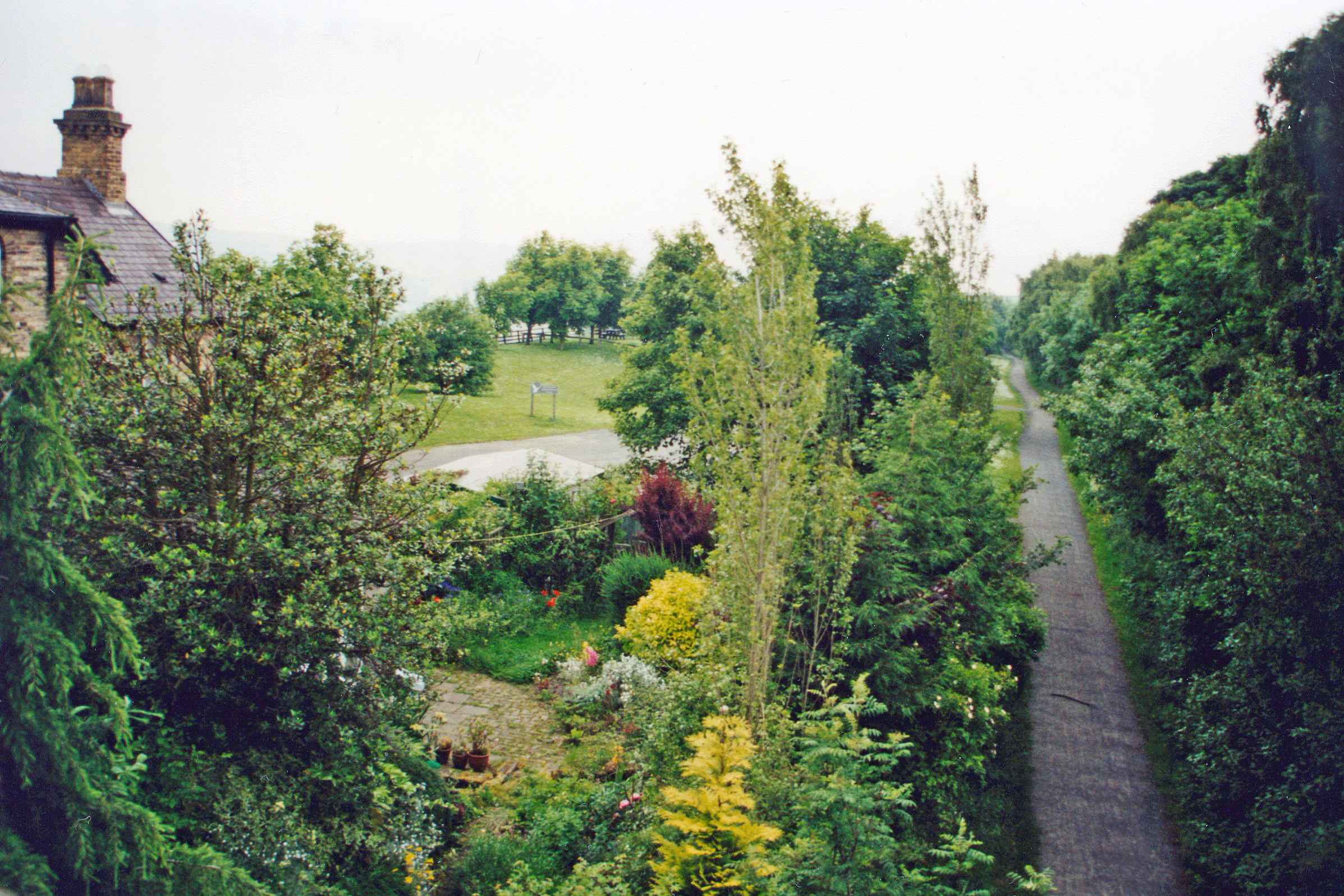
Battershawfield Plantation is a picturesque woodland located in Northumberland, England. Covering an area of approximately 500 acres, it is one of the largest plantations in the region. The plantation is predominantly composed of native tree species such as oak, beech, and birch, creating a diverse and vibrant forest ecosystem.
The woodland is renowned for its tranquil atmosphere and natural beauty, attracting nature enthusiasts and outdoor enthusiasts alike. It offers numerous walking trails and well-maintained paths, allowing visitors to explore the plantation and enjoy its scenic surroundings. The paths are suitable for all levels of walkers, from leisurely strolls to more challenging hikes, offering something for everyone.
Battershawfield Plantation is home to a rich variety of wildlife, including various bird species, small mammals, and insects. Birdwatchers can catch sight of common woodland birds such as robins, tits, and thrushes, while lucky visitors may even spot rarer species such as woodpeckers and owls. The woodland floor is also carpeted with an array of wildflowers, adding a splash of color to the landscape during spring and summer.
In addition to its natural beauty, Battershawfield Plantation has historical significance. The woodland has been managed by the local community for generations, with some areas still displaying remnants of traditional forestry practices. It provides an opportunity for visitors to connect with the area's cultural heritage and learn about the sustainable management of woodlands.
Overall, Battershawfield Plantation offers a captivating blend of natural wonders and cultural heritage, making it a must-visit destination for nature lovers and history enthusiasts alike.
If you have any feedback on the listing, please let us know in the comments section below.
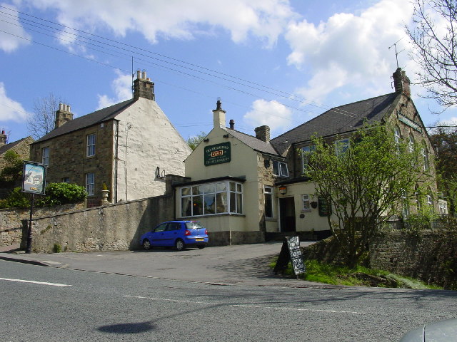
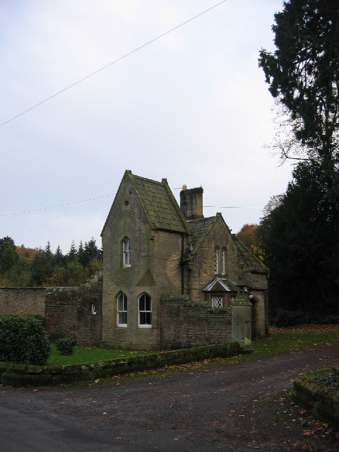
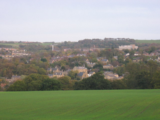
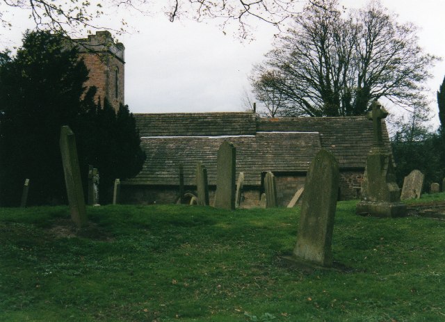
Battershawfield Plantation Images
Images are sourced within 2km of 54.885504/-1.8623749 or Grid Reference NZ0854. Thanks to Geograph Open Source API. All images are credited.


Battershawfield Plantation is located at Grid Ref: NZ0854 (Lat: 54.885504, Lng: -1.8623749)
Unitary Authority: Northumberland
Police Authority: Northumbria
What 3 Words
///computers.sending.chucked. Near Consett, Co. Durham
Related Wikis

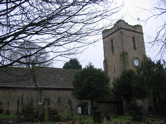
East Law
East Law is a small village in County Durham, England. It is situated on the A694 to the north of Consett and north east of Shotley Bridge. It is located...

Newlands, Northumberland
Newlands is a hamlet and former civil parish, now in the parish of Shotley Low Quarter, in the county of Northumberland, England. It is north of Ebchester...

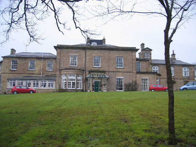
Shotley Park
Shotley Park is a former stately home and estate near the town of Shotley Bridge in County Durham, England. It is a listed building with grade II.The house...

Shotley Bridge
Shotley Bridge is a village, adjoining the town of Consett to the south in County Durham, England, 15 miles North West of Durham City. It is located on...
Shotley Bridge railway station
Shotley Bridge railway station served the village of Shotley Bridge, County Durham, England from 1867 to 1953 on the Derwent Valley Railway. == History... ==
Ebchester railway station
Ebchester railway station served the village of Ebchester, County Durham, England from 1867 to 1963 on the Derwent Valley Railway. == History == The station...

Vindomora
Vindomora was an auxiliary fort on Dere Street, in the province of Lower Britain (Britannia Inferior). Its ruins, now known as Ebchester Roman Fort, are...
Broom Hill, County Durham
Broom Hill is a small village in County Durham, England. It is situated to the north of Consett, near Ebchester and Medomsley. == References ==
Nearby Amenities
Located within 500m of 54.885504,-1.8623749Have you been to Battershawfield Plantation?
Leave your review of Battershawfield Plantation below (or comments, questions and feedback).