Holly Wood
Wood, Forest in Staffordshire Staffordshire Moorlands
England
Holly Wood
Holly Wood is a small picturesque village located in the county of Staffordshire, England. Situated within the Cannock Chase Area of Outstanding Natural Beauty, it is renowned for its stunning woodland and scenic surroundings. The village takes its name from the abundance of holly trees that can be found throughout the area.
Covering an area of approximately 1 square mile, Holly Wood is home to a close-knit community of around 500 residents. The village is characterized by its quaint cottages, charming gardens, and peaceful atmosphere, making it an ideal place for those seeking a tranquil countryside lifestyle.
The centerpiece of Holly Wood is undoubtedly its ancient woodland, which is a haven for nature lovers and outdoor enthusiasts. The forest is home to a diverse range of flora and fauna, including oak trees, beech trees, bluebells, and various species of birds and butterflies. It offers numerous walking trails and cycling paths, allowing visitors to explore the beautiful countryside at their leisure.
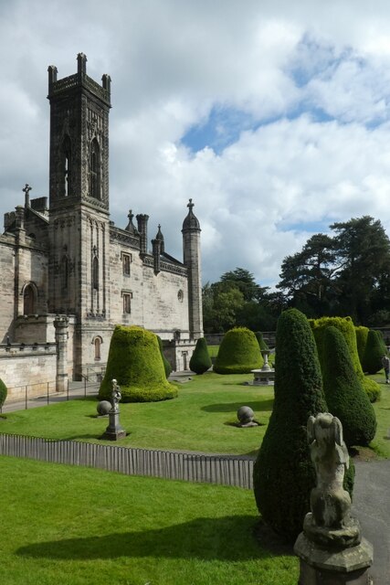
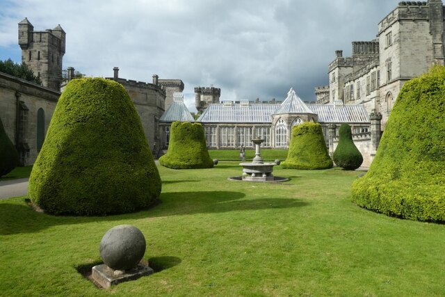
In addition to its natural beauty, Holly Wood boasts a rich history. The village is believed to have been established in the early medieval period and has seen various influences over the centuries. Nearby historical sites, such as the remains of a Roman fort and an Iron Age hillfort, provide fascinating insights into the area's past.
While Holly Wood is primarily a residential village, it is within easy reach of larger towns and cities. The nearby town of Cannock offers a range of amenities, including shops, schools, and leisure facilities. The village also benefits from good transport links, with easy access to major roads and public transportation.
Overall, Holly Wood is a charming village that combines natural beauty with a sense of community. Its idyllic surroundings and rich history make it a desirable place to live or visit for those seeking a slice of rural tranquility.
If you have any feedback on the listing, please let us know in the comments section below.
Holly Wood Images
Images are sourced within 2km of 52.990131/-1.8709657 or Grid Reference SK0843. Thanks to Geograph Open Source API. All images are credited.

Holly Wood is located at Grid Ref: SK0843 (Lat: 52.990131, Lng: -1.8709657)
Administrative County: Staffordshire
District: Staffordshire Moorlands
Police Authority: Staffordshire
What 3 Words
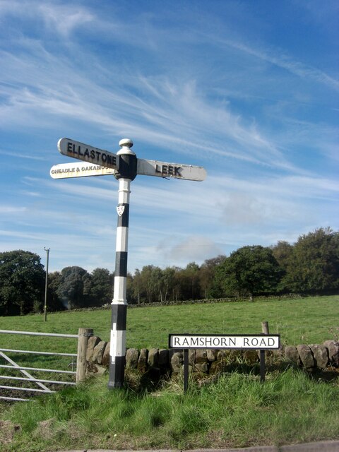
///downs.backers.observer. Near Mayfield, Staffordshire
Nearby Locations
Related Wikis
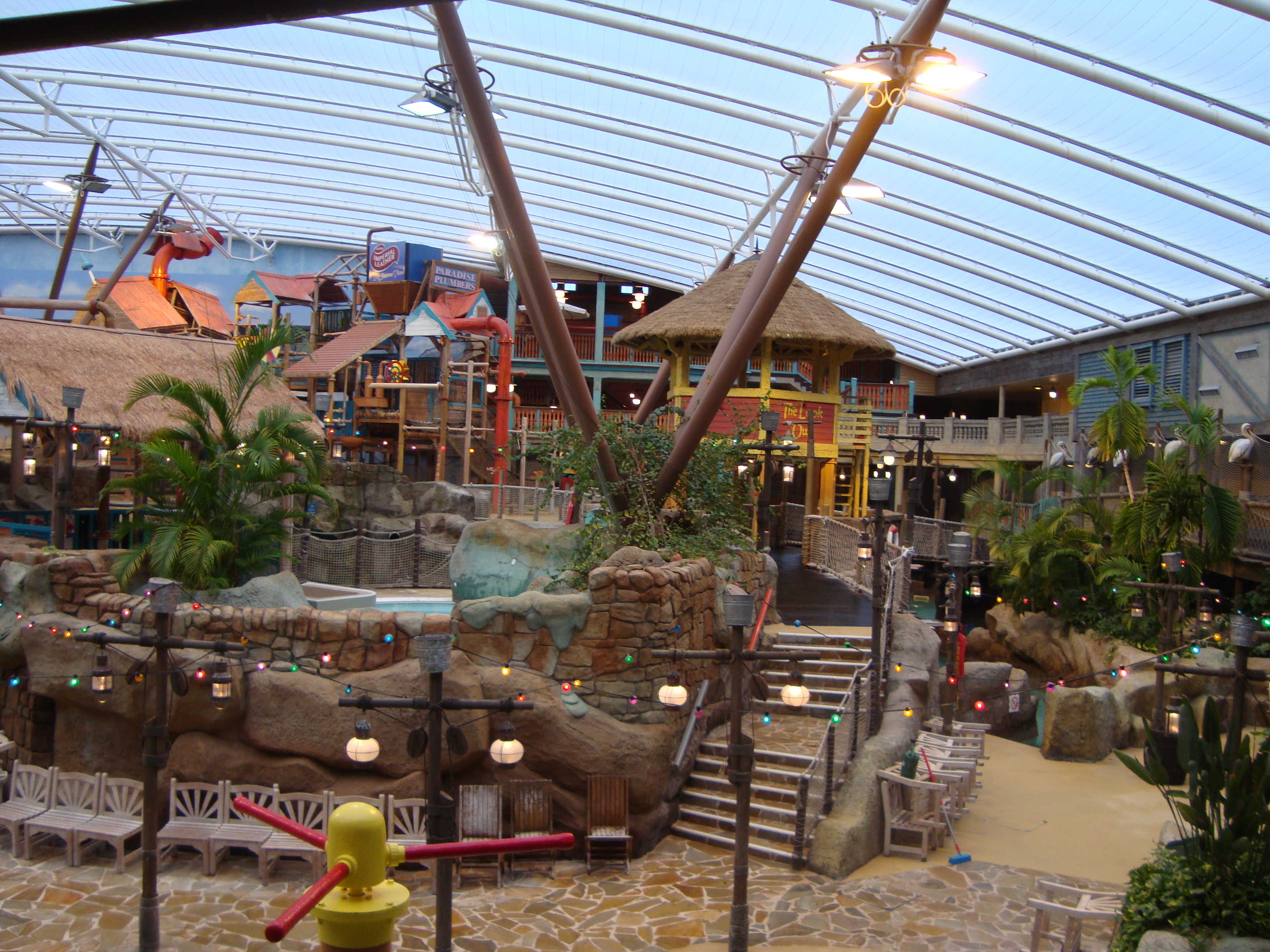
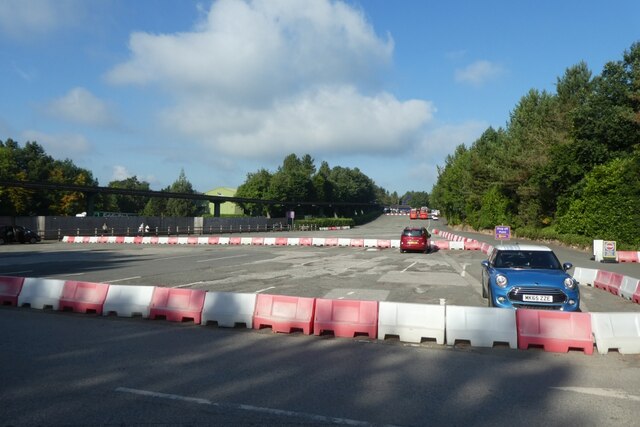
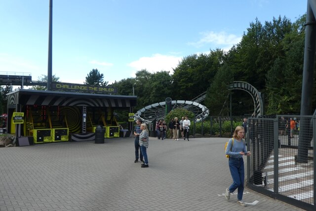
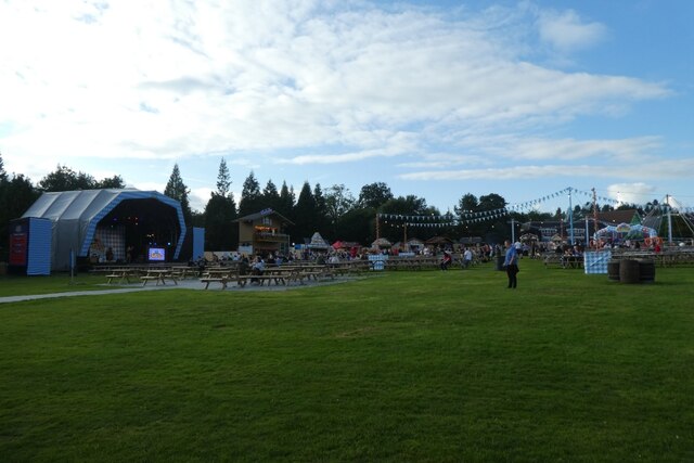
Alton Towers Waterpark
Alton Towers Waterpark, previously known as Cariba Creek, is a water park at Alton Towers Resort, in Staffordshire, England. It is themed to a tropical...
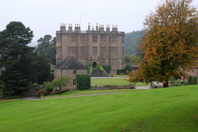
Wootton Lodge
Wootton Lodge is a privately owned 17th-century country house situated at Wootton near Ellastone, Staffordshire, England. It is a Grade I listed building...

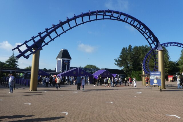
Nemesis (roller coaster)
Nemesis is an inverted roller coaster located at the Alton Towers theme park in Staffordshire, England. Manufactured by Bolliger & Mabillard (B&M), the...

Galactica (roller coaster)
Galactica (formerly known as Air) is a flying roller coaster located in the Forbidden Valley area of Alton Towers amusement park in Staffordshire, England...
Doom & Sons
Doom & Sons was a former attraction in the Talbot Street area of Alton Towers theme park, Staffordshire, England. The attraction was opened in 1981 and...
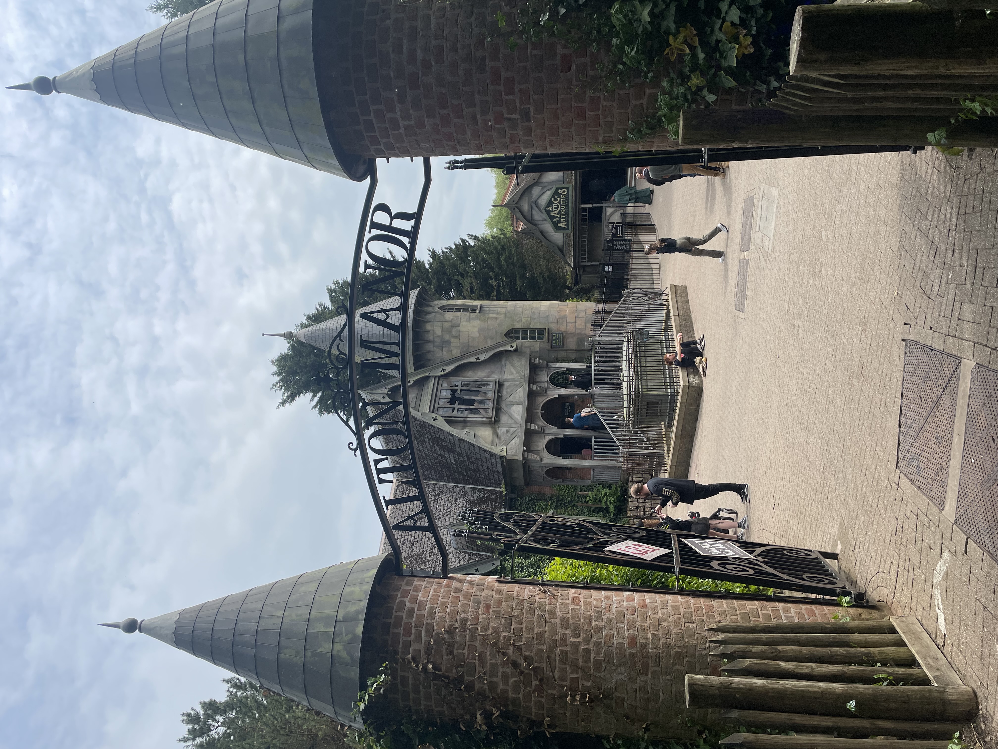
Curse at Alton Manor
The Curse at Alton Manor is a dark ride at the Alton Towers theme park near the village of Alton in Staffordshire, England, opened in 2023. It originally...

Nemesis: Sub-Terra
Nemesis Sub-Terra is a drop tower dark ride located at Alton Towers theme park in Staffordshire, United Kingdom. The ride opened to the public on 24 March...

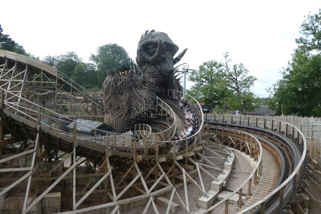
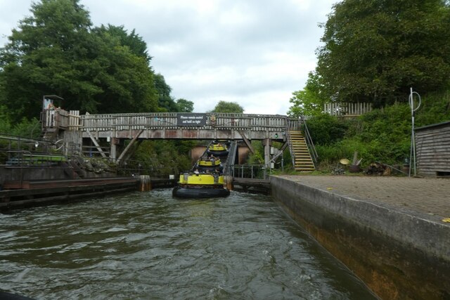
Runaway Mine Train (Alton Towers)
The Runaway Mine Train is a powered steel roller coaster made by MACK Rides of Germany. The ride is located in the Katanga Canyon area of Alton Towers...
Nearby Amenities
Located within 500m of 52.990131,-1.8709657Have you been to Holly Wood?
Leave your review of Holly Wood below (or comments, questions and feedback).