Cliff Wood

Wood, Forest in Yorkshire Harrogate

England

Cliff Wood

Cafe above How Stean Gorge
Cafe above How Stean Gorge Credit: don cload

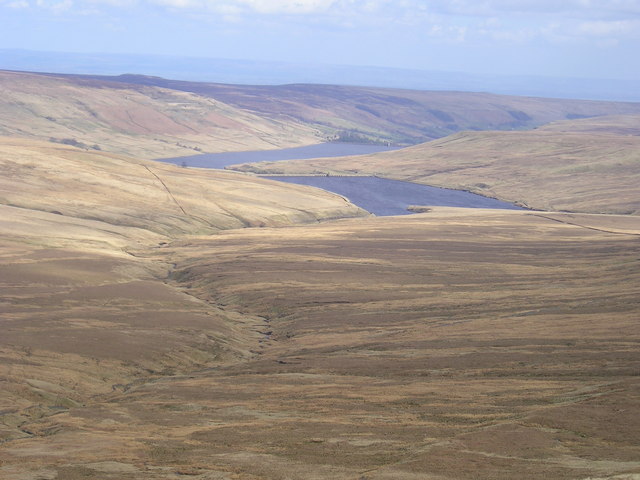
Cliff Wood, located in Yorkshire, is a picturesque and tranquil forest area known for its natural beauty and rich biodiversity. Covering an extensive area of land, it offers a peaceful retreat away from the hustle and bustle of city life.

The wood is characterized by its dense canopy of trees, predominantly oak and beech, which provide a cool and shady environment even on hot summer days. The forest floor is carpeted with a variety of wildflowers, ferns, and mosses, creating a vibrant and colorful landscape throughout the year.

Cliff Wood is home to a diverse range of wildlife, including deer, rabbits, squirrels, and an abundance of bird species. Nature enthusiasts and birdwatchers frequent the area to observe and study these fascinating creatures in their natural habitat.

Several walking trails meander through the woodland, offering visitors the opportunity to explore and appreciate the beauty of the surroundings. These trails lead to stunning viewpoints, from where one can admire the breathtaking vistas of rolling hills and valleys that stretch out for miles.

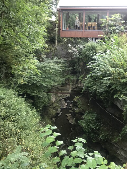
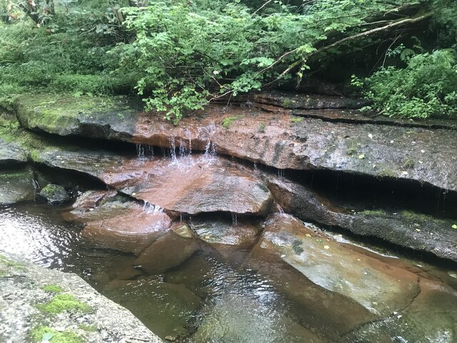
The wood is also home to a small stream, providing a soothing soundtrack as it gently flows through the forest. Its crystal-clear waters serve as a habitat for various aquatic species and create a tranquil atmosphere that adds to the overall serenity of the area.

Cliff Wood, Yorkshire, is a hidden gem that offers a peaceful escape for nature lovers and those seeking to reconnect with the natural world. Its beauty and tranquility make it a popular destination for outdoor enthusiasts and those looking for a break from the chaos of everyday life.

If you have any feedback on the listing, please let us know in the comments section below.
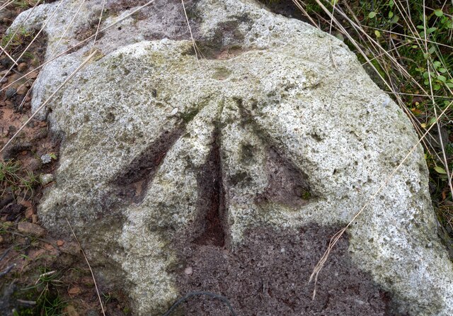
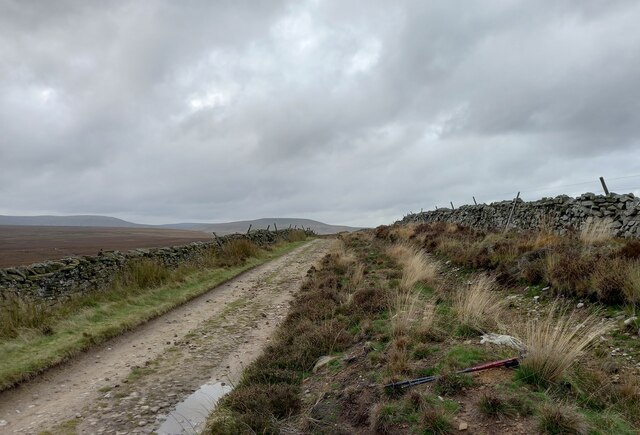
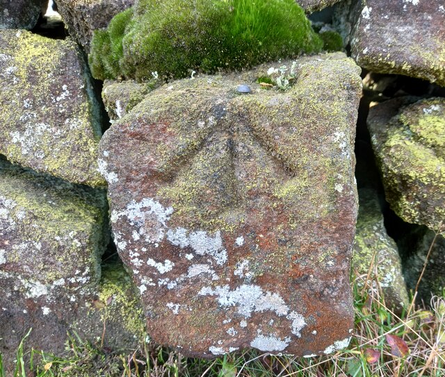
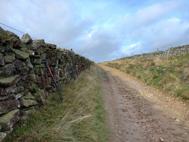
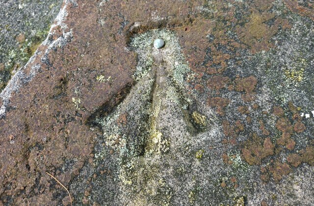
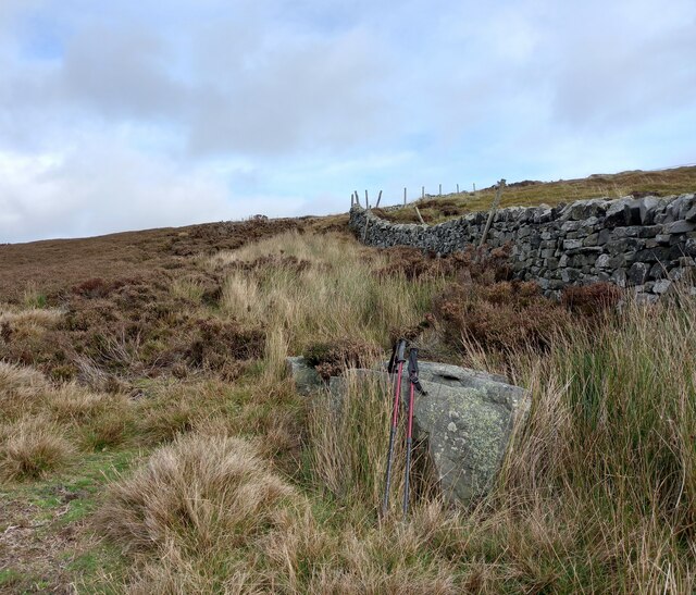
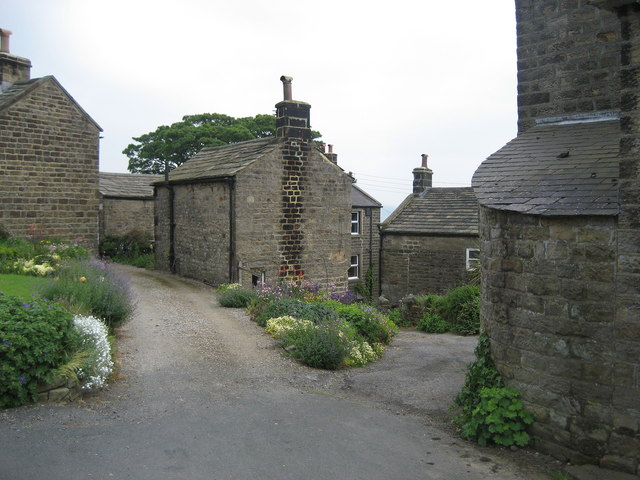
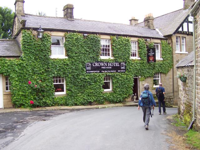
Cliff Wood Images

Images are sourced within 2km of 54.163463/-1.8700764 or Grid Reference SE0874. Thanks to Geograph Open Source API. All images are credited.

Cafe above How Stean Gorge
Stone stile
Stone stile
Falls by How Stean Beck
The Crown Hotel
The Crown Hotel
St. Chad's Churchyard, Middlesmoor
Decaying barn by the Nidderdale Way A track from High Blayshaw to the south joins the track followed by the Nidderdale Way (a public bridleway at this point) just in front of this old farmhouse repurposed as a barn, but now quietly decaying and becoming overgrown.
Decaying barn by the Nidderdale Way
A track from High Blayshaw to the south joins the track followed by the Nidderdale Way (a public bridleway at this point) just in front of this old farmhouse repurposed as a barn, but now quietly decaying and becoming overgrown.
Footpath dropping to Stean Bridge From the minor road on the south side of How Stean Gorge, a less-than-obvious public footpath heads north (to be fair, it is well signposted once you have found it - and is routed carefully to avoid disturbing the occupants of the adjacent property). The bridge ahead forms a useful viewpoint for those trying to assess whether the river could be paddled (doesn't look attractive, and it is commercialised for gorge-walking lower down, so access strife would probably be encountered despite the ancient right to navigate). It's also the access for a couple of caves in the undercut walls of the gorge. The path beyond climbs steeply through open pasture to Middlesmoor.
Footpath dropping to Stean Bridge
From the minor road on the south side of How Stean Gorge, a less-than-obvious public footpath heads north (to be fair, it is well signposted once you have found it - and is routed carefully to avoid disturbing the occupants of the adjacent property). The bridge ahead forms a useful viewpoint for those trying to assess whether the river could be paddled (doesn't look attractive, and it is commercialised for gorge-walking lower down, so access strife would probably be encountered despite the ancient right to navigate). It's also the access for a couple of caves in the undercut walls of the gorge. The path beyond climbs steeply through open pasture to Middlesmoor.
Ruined barn above How Stean Gorge Standing sadly derelict, this quite substantial barn rather mars the view east from the path up from How Stean Gorge to Middlesmoor.
Ruined barn above How Stean Gorge
Standing sadly derelict, this quite substantial barn rather mars the view east from the path up from How Stean Gorge to Middlesmoor.
Graveyard below St. Chad's church, Middlesmoor Signposting leaves the route of the paths NE, SE and SE from Middlesmoor rather poorly defined, but I eventually deduced that the way NE must head up through the churchyard. Even some quite recent graves seem to be subsiding down the hill, as the slope is really a bit steep for such a use.
Graveyard below St. Chad's church, Middlesmoor
Signposting leaves the route of the paths NE, SE and SE from Middlesmoor rather poorly defined, but I eventually deduced that the way NE must head up through the churchyard. Even some quite recent graves seem to be subsiding down the hill, as the slope is really a bit steep for such a use.
How Stean Gorge View of the road bridge from a footbridge now covered by the cafe extension
How Stean Gorge
View of the road bridge from a footbridge now covered by the cafe extension
Nidderdale, track from Scar House reservoir to Middlesmoor The pivot benchmark is cut into a boulder which is to the east of the track, but to the west of the dry ditch which runs parallel with the dry stone wall.
Nidderdale, track from Scar House reservoir to Middlesmoor
The pivot benchmark is cut into a boulder which is to the east of the track, but to the west of the dry ditch which runs parallel with the dry stone wall.
Nidderdale, track which runs from Scar House reservoir to Middlesmoor There is a pivot benchmark cut into a boulder which is to the east of the track, but to the west of the dry ditch which runs parallel with the dry stone wall.
Nidderdale, track which runs from Scar House reservoir to Middlesmoor
There is a pivot benchmark cut into a boulder which is to the east of the track, but to the west of the dry ditch which runs parallel with the dry stone wall.
Nidderdale, track from Scar House reservoir to Middlesmoor The rivet benchmark is cut into the lowest course of stone of the wall on the west side of the track.
Nidderdale, track from Scar House reservoir to Middlesmoor
The rivet benchmark is cut into the lowest course of stone of the wall on the west side of the track.
Nidderdale, track from Scar House reservoir to Middlesmoor There is a rivet benchmark cut into the lowest course of stone of the wall on the west side of the track.
Nidderdale, track from Scar House reservoir to Middlesmoor
There is a rivet benchmark cut into the lowest course of stone of the wall on the west side of the track.
Nidderdale, track to Rain Stang trig point The rivet benchmark is cut into a boulder which is on the right of a poorly defined path from the bridleway to the trig point at Rain Stang.
Nidderdale, track to Rain Stang trig point
The rivet benchmark is cut into a boulder which is on the right of a poorly defined path from the bridleway to the trig point at Rain Stang.
Nidderdale, path to trig point at Rain Stang There is a rivet benchmark cut into a boulder which is on the right of a poorly defined path from the bridleway to the trig point at Rain Stang.
Nidderdale, path to trig point at Rain Stang
There is a rivet benchmark cut into a boulder which is on the right of a poorly defined path from the bridleway to the trig point at Rain Stang.
Middlesmoor, Rain Stang Trig Point The OS Flush Bracket S7707 is embedded into the Rain Stang Trig Point above Middlesmoor at the top of Nidderdale.
Middlesmoor, Rain Stang Trig Point
The OS Flush Bracket S7707 is embedded into the Rain Stang Trig Point above Middlesmoor at the top of Nidderdale.
Nidderdale, Rain Stang Trig Point There is some damage to the trig point. In the far distance is Gowthwaite Reservoir.
Nidderdale, Rain Stang Trig Point
There is some damage to the trig point. In the far distance is Gowthwaite Reservoir.
Show me another place!

Cliff Wood is located at Grid Ref: SE0874 (Lat: 54.163463, Lng: -1.8700764)

Division: West Riding

Administrative County: North Yorkshire

District: Harrogate

Police Authority: North Yorkshire

What 3 Words

///rudder.inflation.usual. Near Pateley Bridge, North Yorkshire

Nearby Locations

Cliff Wood

Related Wikis

Middlesmoor

Middlesmoor is a small hill village at the head of Nidderdale in the Harrogate district of North Yorkshire, England. Middlesmoor is the principal settlement...

Stean

Stean is a small village in upper Nidderdale in North Yorkshire, England. It is 8 miles (13 km) north of Pateley Bridge. The village is located on Stean...

How Stean Gorge

How Stean Gorge is a limestone gorge in Nidderdale in North Yorkshire, England. It forms a unit of the Upper Nidderdale Site of Special Scientific Interest...

Lofthouse-in-Nidderdale railway station

Lofthouse-in-Nidderdale railway station was the northernmost regular passenger terminus on the Nidd Valley Light Railway (NVLR), in Lofthouse, then in...

Lofthouse, North Yorkshire

Lofthouse is a small village in Nidderdale in the Harrogate district of North Yorkshire, England about a mile south of Middlesmoor. It is the principal...

Nidderdale Caves

The Nidderdale Caves are a series of caves in Upper Nidderdale in North Yorkshire, England. There are two cave systems and most of the caves are in some...

Skipton and Ripon (UK Parliament constituency)

Skipton and Ripon is a constituency in North Yorkshire represented in the House of Commons of the UK Parliament since 2010 by Julian Smith, a Conservative...

Stonebeck Up

Stonebeck Up is a civil parish in Harrogate district, North Yorkshire, England. The only village in the parish is Middlesmoor. The population of the...

Nearby Amenities

Located within 500m of 54.163463,-1.8700764
Barrier: stile
Source: survey
Lat/Long: 54.161311/-1.868032
Barrier: stile
Source: survey
Lat/Long: 54.1644844/-1.8717309
Barrier: stile
Source: survey
Lat/Long: 54.1647962/-1.8721051
Archaeological Site: lime_kiln
Description: Flare-type kiln with crucible and draw hole still in tact. Unstable, fenced off
Historic: archaeological_site
Mineral: limestone
Output: lime
Source: survey
Lat/Long: 54.1648273/-1.8759311
lime kiln
Archaeological Site: industrial
Fixme: if still extant, please change to ruins
Historic: archaeological_site
Mineral: limestone
Output: lime
Lat/Long: 54.1608985/-1.8684353
Information: guidepost
Tourism: information
Lat/Long: 54.164666/-1.8719723
Information: guidepost
Tourism: information
Lat/Long: 54.1649993/-1.8757883
Power: pole
Lat/Long: 54.1638462/-1.8745884
Power: pole
Lat/Long: 54.1635625/-1.8756805
Power: pole
Lat/Long: 54.1631807/-1.8772413
The data included in this document is from www.openstreetmap.org. The data is made available under ODbL.

Have you been to Cliff Wood?

Leave your review of Cliff Wood below (or comments, questions and feedback).