Bellow Moss Plantation
Wood, Forest in Durham
England
Bellow Moss Plantation

Bellow Moss Plantation is a picturesque woodland located in Durham, England. Situated in the heart of a dense forest, this plantation offers a serene and tranquil atmosphere for visitors to enjoy. The woodland is primarily composed of various species of trees, including oak, beech, and birch, creating a diverse and lush environment.
Covering an area of approximately 100 acres, Bellow Moss Plantation is a popular spot for nature enthusiasts and hikers looking to explore the beauty of the surrounding landscape. The well-maintained paths winding through the plantation make it easy to navigate and enjoy the peaceful surroundings.
Wildlife is abundant in Bellow Moss Plantation, with numerous species of birds, mammals, and insects calling this woodland home. Birdwatchers will delight in the opportunity to spot a variety of feathered creatures, including woodpeckers, owls, and songbirds. Squirrels, rabbits, and deer can also be spotted amongst the trees, adding to the charm of this natural haven.
During the spring and summer months, Bellow Moss Plantation comes alive with vibrant wildflowers, creating a colorful tapestry throughout the woodland. The plantation is also home to a small pond, providing a habitat for aquatic plants and creatures.
For those seeking a peaceful retreat away from the hustle and bustle of city life, Bellow Moss Plantation is the ideal destination. Its natural beauty, diverse flora and fauna, and well-maintained trails make it a haven for nature lovers and a must-visit spot in Durham.
If you have any feedback on the listing, please let us know in the comments section below.
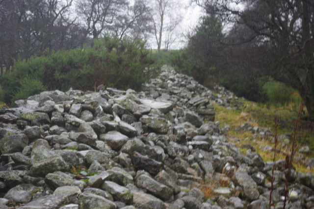
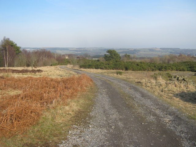
Bellow Moss Plantation Images
Images are sourced within 2km of 54.701387/-1.8685373 or Grid Reference NZ0834. Thanks to Geograph Open Source API. All images are credited.


Bellow Moss Plantation is located at Grid Ref: NZ0834 (Lat: 54.701387, Lng: -1.8685373)
Unitary Authority: County Durham
Police Authority: Durham
What 3 Words
///greet.handed.teachers. Near Wolsingham, Co. Durham
Nearby Locations
Related Wikis

Bedburn
Bedburn is a village in County Durham, in England. It is in the civil parish of South Bedburn, near Hamsterley, and Hamsterley Forest. The Bedburn Beck...

South Bedburn
South Bedburn is a civil parish in County Durham, England. The population of the civil parish at the 2011 census was 171. == References == == External... ==
Low Redford Meadows
Low Redford Meadows is a Site of Special Scientific Interest in the Teesdale district of County Durham, England. It consists of two separate areas of meadows...
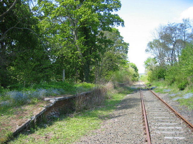
Harperley railway station
Harperley railway station served the Harperley Hall Estate and the nearby hamlet of Low Harperley, close to the village of Fir Tree in County Durham, North...
Nearby Amenities
Located within 500m of 54.701387,-1.8685373Have you been to Bellow Moss Plantation?
Leave your review of Bellow Moss Plantation below (or comments, questions and feedback).