Broomielaw Plantation
Wood, Forest in Durham
England
Broomielaw Plantation

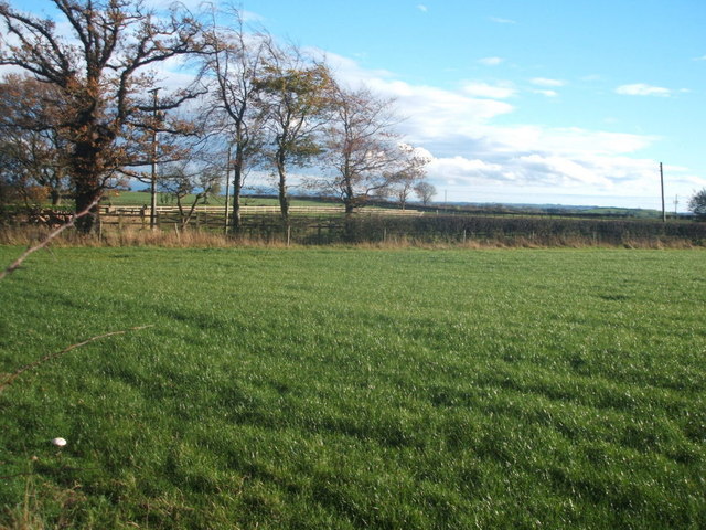
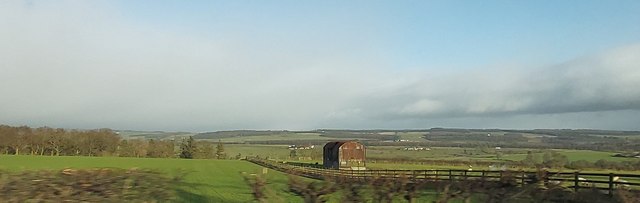
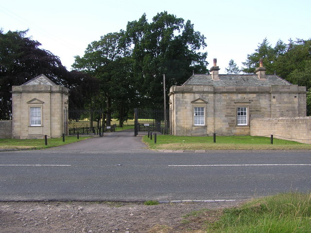
Broomielaw Plantation is a picturesque woodland located in Durham, England. Situated in the heart of the county, this beautiful forested area spans over a vast expanse of approximately 200 acres. The plantation is surrounded by rolling hills and offers visitors a tranquil and serene atmosphere, making it a popular destination for nature lovers and outdoor enthusiasts.
The woodland is predominantly composed of native broadleaf trees, such as oak, beech, and ash, which create a dense and rich canopy. This canopy provides a haven for a diverse range of flora and fauna, making Broomielaw Plantation a haven for wildlife. Visitors can often spot various species of birds, butterflies, and small mammals while exploring the woodland.
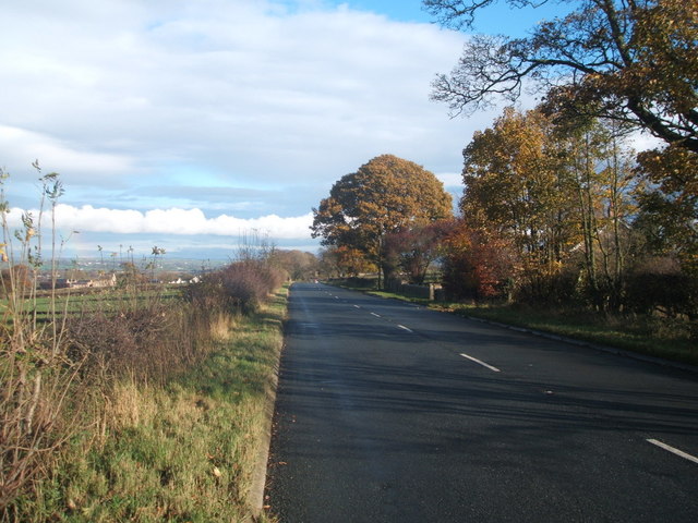
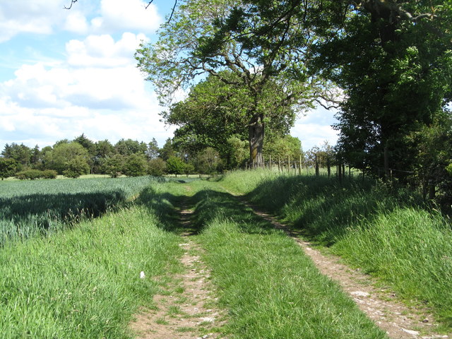
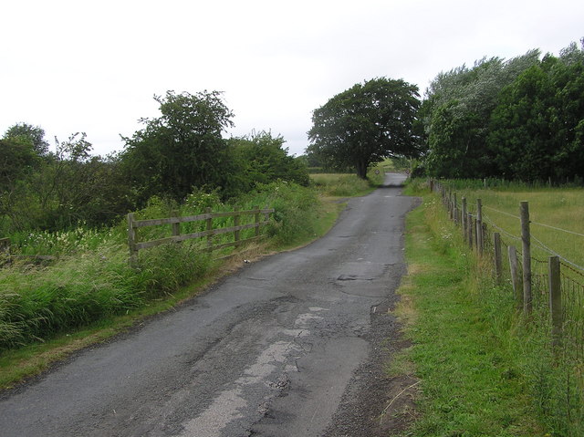
There are several well-maintained walking trails that wind through the plantation, allowing visitors to fully immerse themselves in the natural beauty of the area. These trails cater to both casual strollers and more adventurous hikers, with options for shorter, leisurely walks as well as longer, more challenging routes.
Broomielaw Plantation also offers picnic areas and benches where visitors can rest and enjoy the peaceful surroundings. Additionally, the plantation is equipped with well-placed information boards, providing educational insights into the history, ecology, and management of the woodland.
Overall, Broomielaw Plantation is a haven of tranquility and natural beauty, offering visitors the opportunity to explore and appreciate the diverse flora and fauna of the Durham countryside.
If you have any feedback on the listing, please let us know in the comments section below.
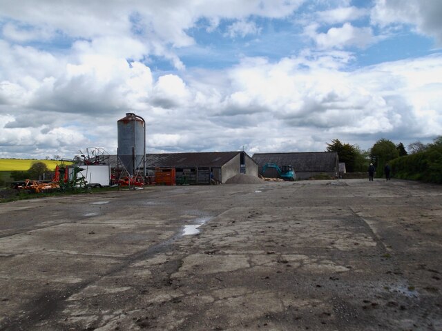
Broomielaw Plantation Images
Images are sourced within 2km of 54.558106/-1.8705594 or Grid Reference NZ0818. Thanks to Geograph Open Source API. All images are credited.


Broomielaw Plantation is located at Grid Ref: NZ0818 (Lat: 54.558106, Lng: -1.8705594)
Unitary Authority: County Durham
Police Authority: Durham
What 3 Words
///outsmart.spoon.term. Near Barnard Castle, Co. Durham
Nearby Locations
Related Wikis
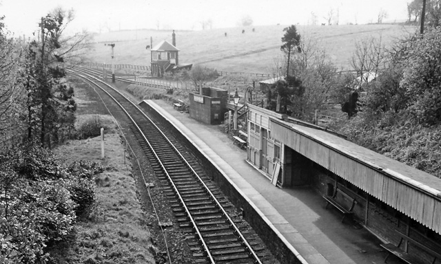
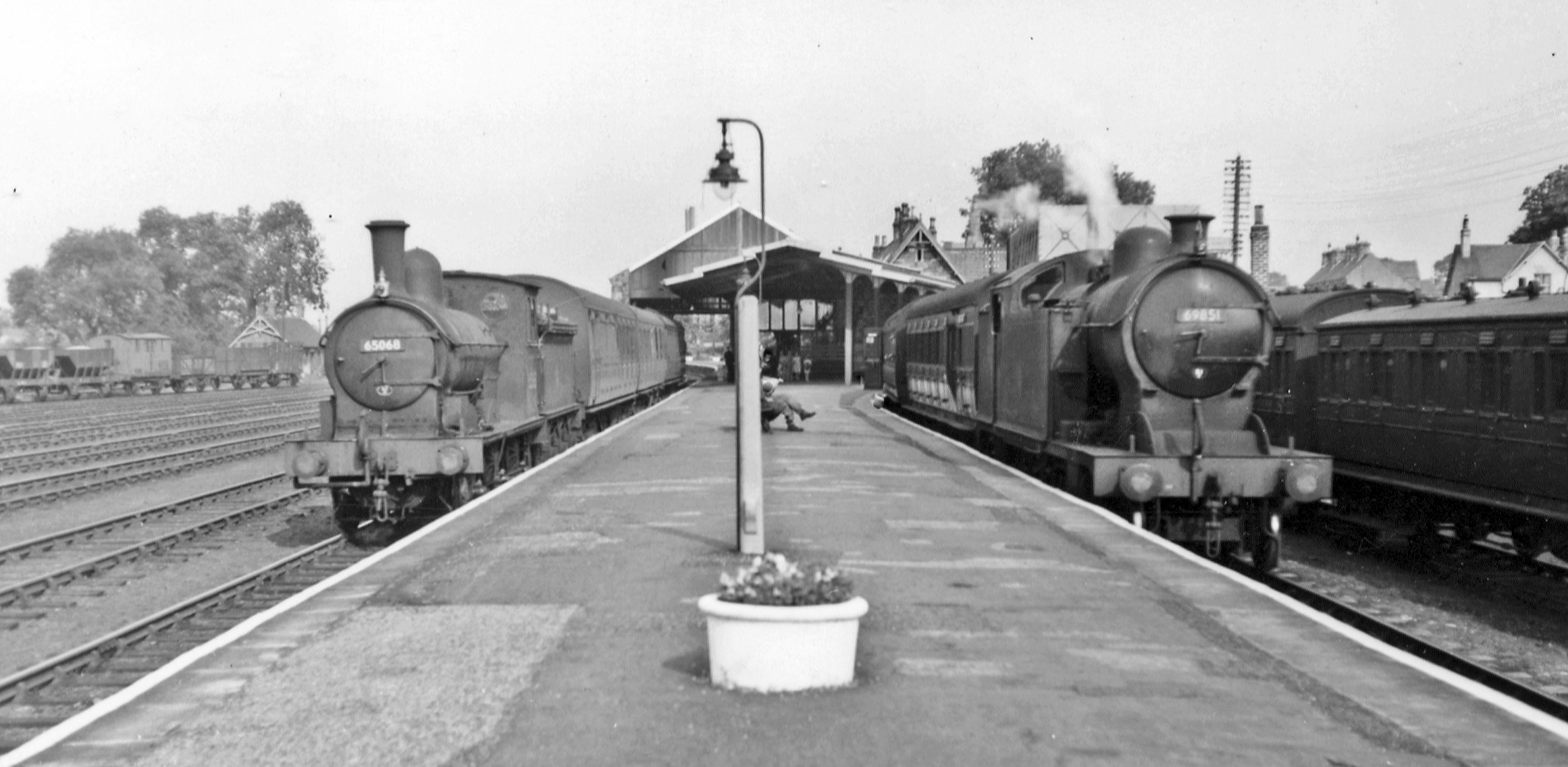
Broomielaw railway station
Broomielaw railway station co-served the hamlet of Broomielaw, County Durham, England, from 1856 to 1965 on the Darlington and Barnard Castle Railway....

Stainton Camp
Stainton Camp is a military installation at Stainton, County Durham. == History == The camp was built in 1941 during the Second World War and served as...
Streatlam Castle
Streatlam Castle was a Baroque stately home located near the town of Barnard Castle in County Durham, England, that was demolished in 1959. Owned by the...
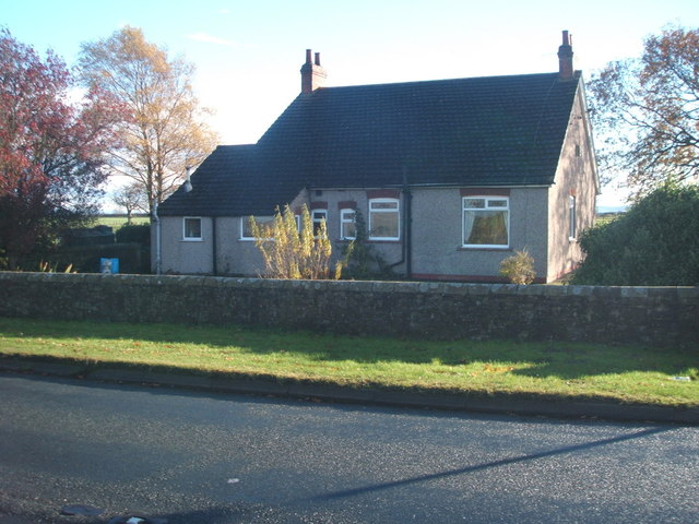
Stainton, County Durham
Stainton is a village in County Durham, in England. It is situated to the north east of Barnard Castle. Stainton Village has entirely residential with...
Teesdale School
Teesdale School is a secondary school and sixth form with academy status located in Barnard Castle, County Durham, England. It offers subjects from GCSE...

Westwick, County Durham
Westwick is a village in County Durham, in England. The population of the civil parish was less than 100. Details are maintained in the parish of Whorlton...

Barnard Castle School
Barnard Castle School (colloquially Barney School or locally the County School) is a co-educational private day and boarding school in the market town...
Barnard Castle railway station
Barnard Castle railway station was situated on the South Durham & Lancashire Union Railway between Bishop Auckland and Kirkby Stephen East. The railway...
Nearby Amenities
Located within 500m of 54.558106,-1.8705594Have you been to Broomielaw Plantation?
Leave your review of Broomielaw Plantation below (or comments, questions and feedback).