Jubilee Plantation

Wood, Forest in Staffordshire Staffordshire Moorlands

England

Jubilee Plantation

Warning signage - A52
Warning signage - A52 Credit: Dave Thompson

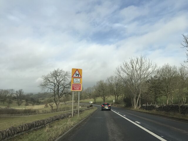
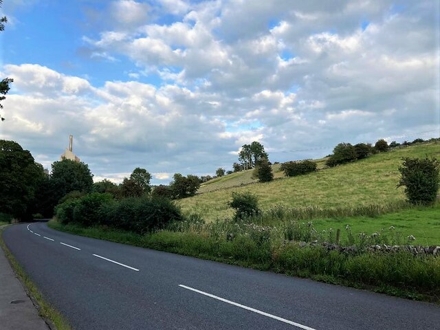
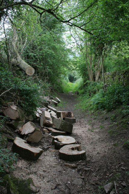
Jubilee Plantation, located in Staffordshire, is a picturesque woodland area known for its natural beauty and diverse ecosystem. Spanning over a vast area, it is a popular destination for nature enthusiasts and outdoor adventurers alike.

The plantation is predominantly composed of deciduous and coniferous trees, creating a unique blend of colors throughout the seasons. The lush greenery and vibrant foliage make Jubilee Plantation a haven for wildlife, attracting a wide variety of birds, mammals, and insects. It is not uncommon to spot deer, squirrels, and various species of birds during a visit.

The woodland offers a network of well-maintained trails, allowing visitors to explore the area on foot or by bike. These paths wind through the plantation, offering stunning views of the surrounding countryside and providing opportunities for peaceful walks or invigorating hikes. The trails are suitable for all ages and fitness levels, making Jubilee Plantation an ideal destination for families and individuals seeking outdoor recreation.

In addition to its natural beauty, Jubilee Plantation also provides educational opportunities for visitors. The plantation offers guided tours and educational programs to teach visitors about the importance of woodland conservation and the various flora and fauna that call the area home.

Overall, Jubilee Plantation is a captivating woodland area in Staffordshire, offering a peaceful escape from the hustle and bustle of everyday life. With its stunning scenery, diverse wildlife, and recreational opportunities, it is a must-visit destination for nature lovers and those seeking a tranquil outdoor experience.

If you have any feedback on the listing, please let us know in the comments section below.

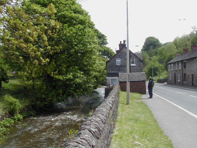
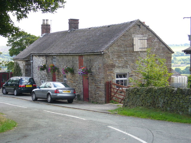
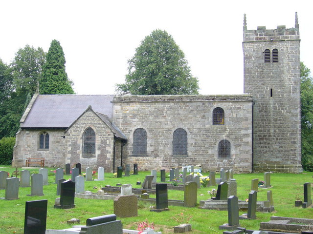
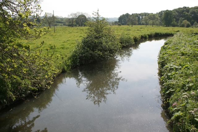
Jubilee Plantation Images

Images are sourced within 2km of 53.04863/-1.8773102 or Grid Reference SK0850. Thanks to Geograph Open Source API. All images are credited.

Warning signage - A52
Telephone Box and Notice Board at Moorend Located on Stoney Lane at the western edge of the grid square.
Telephone Box and Notice Board at Moorend
Located on Stoney Lane at the western edge of the grid square.
Main Road near Cauldon Looking east with one of the chimneys associated with the cement works visible.
Main Road near Cauldon
Looking east with one of the chimneys associated with the cement works visible.
Cauldon - St Mary & St Laurence Church
River Hamps valley View looking south-east from public footpath over the valley of the River Hamps.
River Hamps valley
View looking south-east from public footpath over the valley of the River Hamps.
Waterhouses, Staffordshire View from the main road (A52) about 600 yards to the east of the main part of the village. Pleasant-looking uniform row of cottages on the road to Waterfall at the far side of rough pasture.
Waterhouses, Staffordshire
View from the main road (A52) about 600 yards to the east of the main part of the village. Pleasant-looking uniform row of cottages on the road to Waterfall at the far side of rough pasture.
Waterhouses, Staffordshire The River Hamps flows east here through Waterhouses and alongside the A52 before it turns north towards the R Manifold.
Waterhouses, Staffordshire
The River Hamps flows east here through Waterhouses and alongside the A52 before it turns north towards the R Manifold.
Manifold Trail ... but running along the valley of the R Hamps at this point, just north of the A52. The River Hamps was remarkable for having a dry bed along much of this length despite other rivers in the area being fairly high at the time of the photo.
Manifold Trail
... but running along the valley of the R Hamps at this point, just north of the A52. The River Hamps was remarkable for having a dry bed along much of this length despite other rivers in the area being fairly high at the time of the photo.
Waterhouses Church of England Primary School Waterfall Lane, Waterhouses, Staffordshire. Deliberately underexposed for the cloud effect.
Waterhouses Church of England Primary School
Waterfall Lane, Waterhouses, Staffordshire. Deliberately underexposed for the cloud effect.
Waterfall Cross Cottage at the end of Bentygrange Lane near Waterhouses, Staffordshire
Waterfall Cross
Cottage at the end of Bentygrange Lane near Waterhouses, Staffordshire
Waterfall Parochial Hall Waterfall Lane, Waterhouses, ST10 3HY, Staffordshire. Formerly the village primary school - the children now go to <a href="https://www.geograph.org.uk/photo/224946">SK0750 : Waterhouses Church of England Primary School</a>. What is the subtle difference between a parish hall and a "parochial hall" as this one styles itself?
Waterfall Parochial Hall
Waterfall Lane, Waterhouses, ST10 3HY, Staffordshire. Formerly the village primary school - the children now go to SK0750 : Waterhouses Church of England Primary School. What is the subtle difference between a parish hall and a "parochial hall" as this one styles itself?
Not a waterfall The ford in Waterfall, Staffordshire almost completely dried up after a dry summer. For symmetry, there ought to be a waterfall in the nearby village of Ford (<a href="https://www.geograph.org.uk/photo/225105">SK0653 : Not a ford</a>) but there is not.
Not a waterfall
The ford in Waterfall, Staffordshire almost completely dried up after a dry summer. For symmetry, there ought to be a waterfall in the nearby village of Ford (SK0653 : Not a ford) but there is not.
Saint James and Saint Bartholomew Parish Church, Waterfall, Staffordshire. Built in 1792. There seem to be a significant number of late 18th century churches in this area such as <a href="https://www.geograph.org.uk/photo/224498">SK0646 : Church of St John the Baptist</a> and <a href="https://www.geograph.org.uk/photo/223663">SK0558 : Church of St. John the Baptist</a>. This may reflect increases in population with the expansion of mining and quarrying at the start of the Industrial Revolution.
Saint James and Saint Bartholomew
Parish Church, Waterfall, Staffordshire. Built in 1792. There seem to be a significant number of late 18th century churches in this area such as SK0646 : Church of St John the Baptist and SK0558 : Church of St. John the Baptist. This may reflect increases in population with the expansion of mining and quarrying at the start of the Industrial Revolution.
River Hamps near Winkhill
At the back of Back o' th' Brook My Navigator Atlas indicates that this a road that could be driven. Even without the logs, I wouldn't like to try. The OS map is not so optimistic
At the back of Back o' th' Brook
My Navigator Atlas indicates that this a road that could be driven. Even without the logs, I wouldn't like to try. The OS map is not so optimistic
Signpost to Back o' th' Brook Unusually there is a lack of apostrophes on the sign compared with maps and the Gazetteer.
Signpost to Back o' th' Brook
Unusually there is a lack of apostrophes on the sign compared with maps and the Gazetteer.
Picnic site sign The ford at Back o' th' Brook has been renovated, the work including a brand new picnic table.  This informal notice brings a nice touch to the site.
Picnic site sign
The ford at Back o' th' Brook has been renovated, the work including a brand new picnic table. This informal notice brings a nice touch to the site.
The ford at Back o' th' Brook Stepping stones and handrail and picnic table are all part of a recent restoration. A bit more water than in the first picture!
The ford at Back o' th' Brook
Stepping stones and handrail and picnic table are all part of a recent restoration. A bit more water than in the first picture!
Show me another place!

Jubilee Plantation is located at Grid Ref: SK0850 (Lat: 53.04863, Lng: -1.8773102)

Administrative County: Staffordshire

District: Staffordshire Moorlands

Police Authority: Staffordshire

What 3 Words

///blip.zebra.upstairs. Near Mayfield, Staffordshire

Nearby Locations

Jubilee Plantation

Related Wikis

Waterhouses, Staffordshire

Waterhouses is a village in the south of the Staffordshire Peak District in England. It is around 8 miles from Leek and Ashbourne, being nearly the halfway...

Waterhouses railway station (Staffordshire)

Waterhouses railway station was a railway station that served the village of Waterhouses, Staffordshire. It was opened jointly by the North Staffordshire...

Back o'th' Brook

Back o'th' Brook is a village in Staffordshire, England. The population for the 2011 census can be found under Waterhouses

Brown End Quarry

Brown End Quarry is a nature reserve of the Staffordshire Wildlife Trust, near the village of Waterhouses in Staffordshire, England. It is designated a...

Leek and Manifold Valley Light Railway

The Leek and Manifold Valley Light Railway (L&MVLR) was a narrow gauge railway in Staffordshire, England that operated between 1904 and 1934. The line...

Cauldon

Cauldon or Caldon is a village and former civil parish, 19 miles (31 km) north east of Stafford, now in the parish of Waterhouses, in the Staffordshire...

Caldon Low Halt railway station

Caldon Low Halt railway station was a railway station near the hamlet of Cauldon, Staffordshire. It was opened by the North Staffordshire Railway (NSR...

Sparrowlee railway station

Sparrowlee was the name of a railway station on the Leek and Manifold Valley Light Railway, a 2 ft 6 in (762 mm) narrow gauge line which ran for 8 miles...

Nearby Amenities

Located within 500m of 53.04863,-1.8773102
Disused Amenity: pub
Old Name: The George
Lat/Long: 53.0515715/-1.8823525
Waterhouses
Place: village
Wikidata: Q7974152
Lat/Long: 53.0495327/-1.8762078
Bus Stop
Ye Old Crown Hotel
Bus: yes
Naptan AtcoCode: 3800C813300
Naptan Bearing: W
Naptan BusStopType: CUS
Naptan CommonName: Ye Old Crown Hotel
Naptan Indicator: Adj
Naptan Landmark: Ye Old Crown Hotel
Naptan Street: Leek Rd
Naptan Verified: no
Public Transport: platform
Source: naptan_import
Lat/Long: 53.0490625/-1.8754811
Bus Stop
Ye Old Crown Hotel
Bus: yes
Naptan AtcoCode: 3800C813301
Naptan Bearing: E
Naptan CommonName: Ye Old Crown Hotel
Naptan Indicator: Opp
Naptan Landmark: Ye Old Crown Hotel
Naptan Street: Leek Rd
Naptan Verified: no
Public Transport: platform
Source: naptan_import
Lat/Long: 53.0494754/-1.8775541
Bus Stop
Ye Old Crown Hotel
Bus: yes
Naptan AtcoCode: 3800C837701
Naptan Bearing: S
Naptan CommonName: Ye Old Crown Hotel
Naptan Indicator: Adj
Naptan Landmark: Ye Old Crown Hotel
Naptan Street: Earlsway
Naptan Verified: no
Public Transport: platform
Source: naptan_import
Lat/Long: 53.0488899/-1.8764669
Bus Stop
Ye Old Crown Hotel
Bus: yes
Naptan AtcoCode: 3800C837702
Naptan Bearing: N
Naptan CommonName: Ye Old Crown Hotel
Naptan Indicator: Opp
Naptan Landmark: Ye Old Crown Hotel
Naptan Street: Earlsway
Naptan Verified: no
Public Transport: platform
Source: naptan_import
Lat/Long: 53.0488182/-1.8766013
Speed Camera
Lat/Long: 53.0502276/-1.8797246
Speed Camera
Lat/Long: 53.0490397/-1.8717913
Speed Camera
Lat/Long: 53.049049/-1.8701147
Speed Camera
Lat/Long: 53.0498089/-1.8791026
Barrier: stile
Source: survey;gps
Stile: squeezer
Lat/Long: 53.0494882/-1.8774862
Barrier: stile
Material: stone
Source: survey;gps
Stile: squeezer
Lat/Long: 53.0510595/-1.8776709
Addr Housename: Bridge House
Lat/Long: 53.0493125/-1.8773781
Addr Housename: No 1 Bridge House
Lat/Long: 53.0493218/-1.8774666
Barrier: stile
Source: survey;gps
Stile: squeezer
Lat/Long: 53.050205/-1.8795763
Barrier: stile
Material: wood
Source: survey;gps
Stile: stepover
Lat/Long: 53.0502803/-1.8794269
Barrier: stile
Material: stone
Source: survey;gps
Stile: squeezer
Lat/Long: 53.0509691/-1.8801713
Barrier: stile
Material: stone
Source: survey;gps
Stile: squeezer
Lat/Long: 53.0516166/-1.8776949
Barrier: stile
Material: stone
Source: survey;gps
Stile: squeezer
Lat/Long: 53.0518154/-1.8809302
Fixme: stile, gate or entramce?
Lat/Long: 53.0518477/-1.8777191
Barrier: stile
Material: wood
Source: survey;gps
Stile: stepover
Lat/Long: 53.0520685/-1.8777183
Barrier: stile
Material: wood
Source: survey;gps
Stile: stepover
Lat/Long: 53.0520942/-1.8777182
Tourism: viewpoint
Lat/Long: 53.0454891/-1.8794148
Bench
Queen's Silver Jubilee
Backrest: yes
Historic: memorial
Inscription: BUILT BY A.P.C.M LIMITED ON BEHALF OF THE PARISH OF WATERHOUSES. TO COMMEMORATE THE SILVER JUBILEE OF QUEEN ELIZABETH ii. 1952-1977. UNVEILED BY G.FURNESS ESQ. 7-6-1977
Material: wood
Seats: 20
Lat/Long: 53.0487478/-1.872923
Board Type: nature
Check Date: 2021-05-12
Information: board
Tourism: information
Lat/Long: 53.0479792/-1.876305
Barrier: stile
Material: wood
Source: survey;gps
Stile: stepover
Lat/Long: 53.0464893/-1.8741428
Barrier: stile
Material: wood
Source: survey;gps
Stile: stepover
Lat/Long: 53.0451461/-1.872614
Power: pole
Lat/Long: 53.0482388/-1.8734291
Power: pole
Lat/Long: 53.0477599/-1.8729302
Power: pole
Lat/Long: 53.0472988/-1.8724313
Power: pole
Lat/Long: 53.0469231/-1.8720558
Power: pole
Transformer: distribution
Lat/Long: 53.047697/-1.8702829
Power: pole
Lat/Long: 53.0492965/-1.8699101
Waterhouses
Historic Railway: station
Railway: site
Lat/Long: 53.0488393/-1.8708129
Waterhouses Car Park
Tourism: picnic_site
Lat/Long: 53.0487725/-1.8727452
The data included in this document is from www.openstreetmap.org. The data is made available under ODbL.

Have you been to Jubilee Plantation?

Leave your review of Jubilee Plantation below (or comments, questions and feedback).