Bogle House Wood

Wood, Forest in Durham

England

Bogle House Wood

Small paddock adjacent to house A pony in a coat of many colours is the only occupant of the small enclosure which is presumably part of the property of the house.
Small paddock adjacent to house Credit: Trevor Littlewood

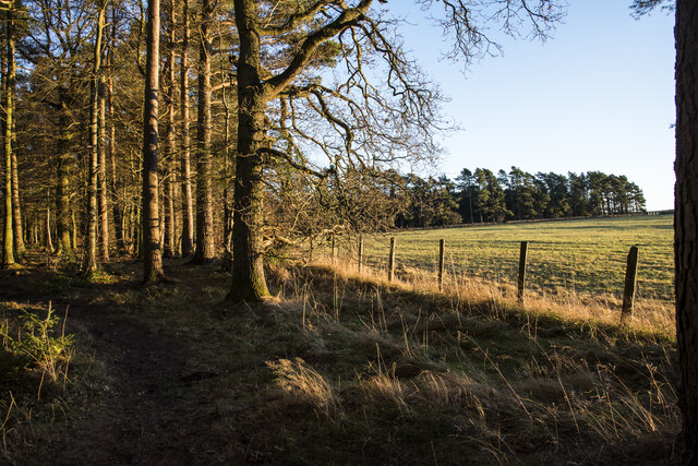
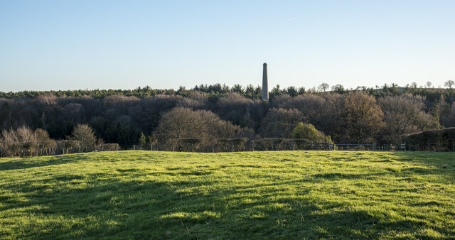
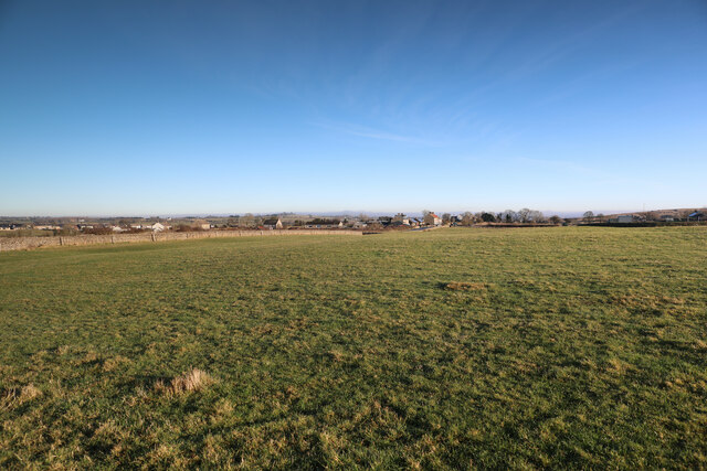
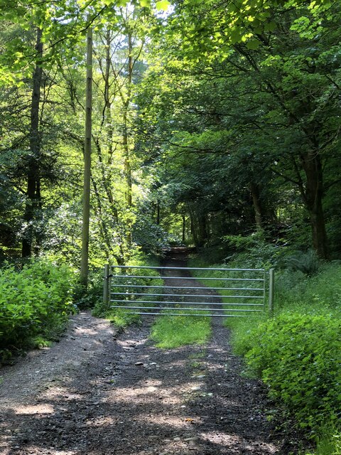
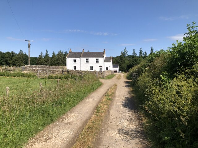
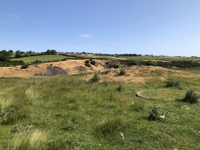
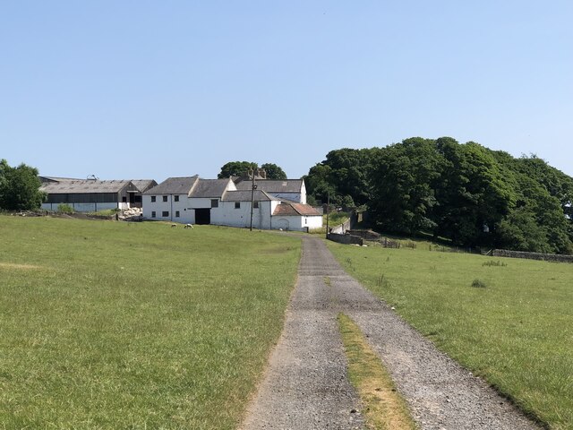
Bogle House Wood is a picturesque woodland located in Durham, England. Stretching across a vast area, the wood is known for its natural beauty and tranquil atmosphere. It is situated in close proximity to the city of Durham, making it easily accessible for both locals and visitors alike.

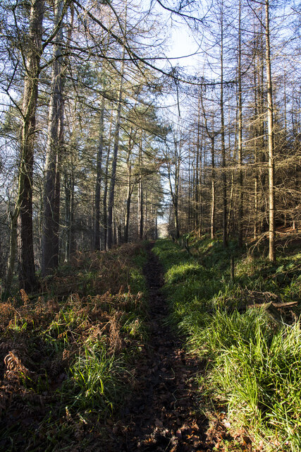
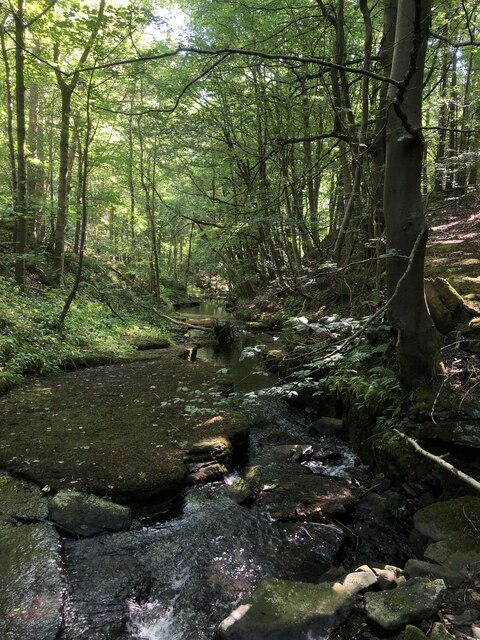
The wood is primarily composed of a mixture of deciduous and evergreen trees, creating a diverse and vibrant landscape throughout the seasons. It is home to a wide variety of wildlife, including birds, squirrels, and deer, which adds to the enchanting ambiance of the area. The wood is also adorned with an array of wildflowers and plants, further enhancing its natural charm.

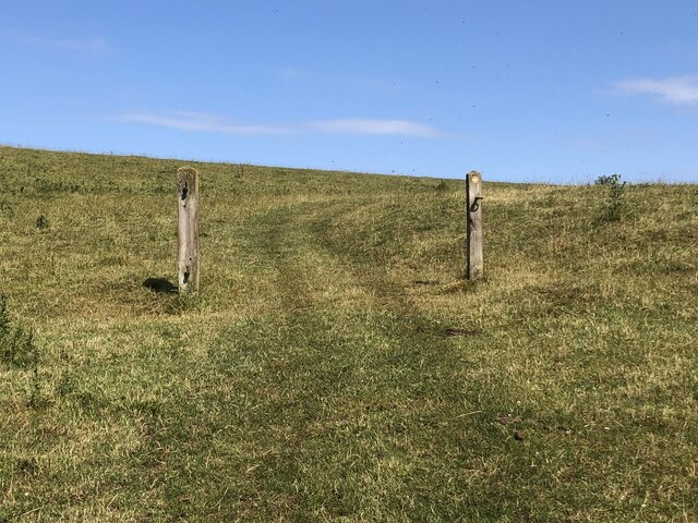
Visitors to Bogle House Wood can enjoy a range of activities, from leisurely walks and nature trails to birdwatching and photography. The wood is equipped with well-marked paths, allowing visitors to explore the area at their own pace. Along the way, there are several benches and picnic spots, offering opportunities for relaxation and enjoying the peaceful surroundings.

Bogle House Wood is a popular destination for nature enthusiasts and those seeking a break from the hustle and bustle of city life. Its serene environment and scenic beauty make it an ideal place for individuals and families to unwind and reconnect with nature. Whether you are seeking solitude or an outdoor adventure, Bogle House Wood offers a memorable experience for all who visit.

If you have any feedback on the listing, please let us know in the comments section below.

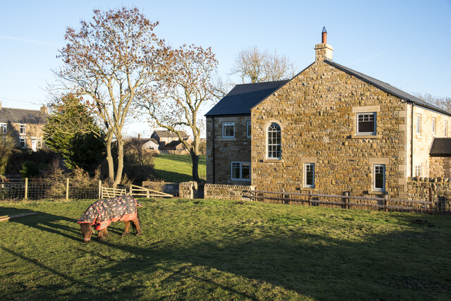
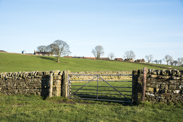
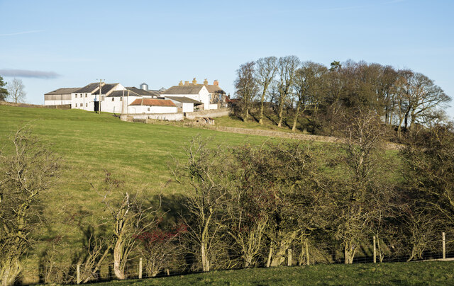
Bogle House Wood Images

Images are sourced within 2km of 54.615273/-1.872763 or Grid Reference NZ0824. Thanks to Geograph Open Source API. All images are credited.

Small paddock adjacent to house A pony in a coat of many colours is the only occupant of the small enclosure which is presumably part of the property of the house.
Small paddock adjacent to house
A pony in a coat of many colours is the only occupant of the small enclosure which is presumably part of the property of the house.
Path at woodland edge near to Copley Chimney The trees are at least partly those of Gibbsneese Plantation. The preserved industrial monument, Copley Chimney, part of the Gaunless Smelt Mill, is within the woods behind the camera location.
Path at woodland edge near to Copley Chimney
The trees are at least partly those of Gibbsneese Plantation. The preserved industrial monument, Copley Chimney, part of the Gaunless Smelt Mill, is within the woods behind the camera location.
Roofs of Lane Head beyond walls and gate Lane Head is a small settlement between the larger villages at Woodland and Copley. The view is from close to the line of a public footpath which passes to the left of the nearest tree and then Lynesack Farm beyond it.
Roofs of Lane Head beyond walls and gate
Lane Head is a small settlement between the larger villages at Woodland and Copley. The view is from close to the line of a public footpath which passes to the left of the nearest tree and then Lynesack Farm beyond it.
Buildings at Lunton Hill The collection of buildings constitutes perhaps just one farm; it lies just to the east of Woodland.
Buildings at Lunton Hill
The collection of buildings constitutes perhaps just one farm; it lies just to the east of Woodland.
Hedged field on south side of Copley The ground beyond the small field drops away to the River Gaunless.
The woodland beyond has the grade II listed Copley Chimney which was at the end of a flue rising from the Gaunless Smelt Mill, some remains of which are in the valley.
Hedged field on south side of Copley
The ground beyond the small field drops away to the River Gaunless. The woodland beyond has the grade II listed Copley Chimney which was at the end of a flue rising from the Gaunless Smelt Mill, some remains of which are in the valley.
Bridleway through Cowclose Plantation The path heading west through the plantation on the north side of the River Gaunless. It's attractive enough but being a bridleway its surface is pitted with small hollows having been trodden by horses.
Although named as a plantation the trees are well separated and give the impression of being natural woodland.
Bridleway through Cowclose Plantation
The path heading west through the plantation on the north side of the River Gaunless. It's attractive enough but being a bridleway its surface is pitted with small hollows having been trodden by horses. Although named as a plantation the trees are well separated and give the impression of being natural woodland.
Field corner by Copley Lane Taken from almost the only public footpath in the square, this view from the Copley Bent Farm access track looks to the corner of the field which it crosses, adjacent to Copley Lane.  Beyond that lie the houses of Copley Bent itself.
Field corner by Copley Lane
Taken from almost the only public footpath in the square, this view from the Copley Bent Farm access track looks to the corner of the field which it crosses, adjacent to Copley Lane. Beyond that lie the houses of Copley Bent itself.
Former Lead Smelting Mill Chimney, Copley Gaunless lead smelting mill operated from 1770 to 1870. Only the chimney remains and it is Grade II listed.
Former Lead Smelting Mill Chimney, Copley
Gaunless lead smelting mill operated from 1770 to 1870. Only the chimney remains and it is Grade II listed.
Track through Gibbsneese Plantation
Steele House Farm
Steele House Farm
Hindon Beck Hindon beck in Cowclose Wood. The confluence of Hindon Beck and Arn Gill 500 m downstream forms the start of the River Gaunless.
Hindon Beck
Hindon beck in Cowclose Wood. The confluence of Hindon Beck and Arn Gill 500 m downstream forms the start of the River Gaunless.
Former field boundary marked by redundant gateposts
Site of Cowley Colliery Cowley shaft was sunk in 1896 and formed part of Woodland Colliery which closed in the 1920s
Site of Cowley Colliery
Cowley shaft was sunk in 1896 and formed part of Woodland Colliery which closed in the 1920s
Lunton Hill Farm
Lunton Hill Farm
Church Of St John The Evangelist Grade II listed church of 1847 .
Church Of St John The Evangelist
Grade II listed church of 1847 .
Gravestones at St John The Evangelist, Lynesack
Road through the hamlet of Lynesack
Road through Copley
Road through Copley
Show me another place!

Bogle House Wood is located at Grid Ref: NZ0824 (Lat: 54.615273, Lng: -1.872763)

Unitary Authority: County Durham

Police Authority: Durham

What 3 Words

///tall.plots.strictest. Near Cockfield, Co. Durham

Nearby Locations

Bogle House Wood

Related Wikis

Copley, County Durham

Copley is a village of roughly 400 inhabitants in County Durham, England. It is situated 9 miles west of Bishop Auckland, and 6 miles from Barnard Castle...

Woodland, County Durham

Woodland is a rural village in County Durham, England. It is situated 1100 feet above sea level, a few miles to the north of Barnard Castle, and west of...

Morley, County Durham

Morley is a village in County Durham, England. It is situated five miles to the west of Bishop Auckland (OS grid reference NZ 1127). Morley is first mentioned...

Butterknowle

Butterknowle is a village in Teesdale, County Durham, England. Butterknowle is situated between the market towns of Bishop Auckland (9 miles to the east...

Have you been to Bogle House Wood?

Leave your review of Bogle House Wood below (or comments, questions and feedback).